The best walks and hikes around Burnsville
4.7
(78)
1,630
hikers
15
hikes
Hiking around Burnsville is primarily centered within the Minnesota Valley National Wildlife Refuge, offering routes along the Minnesota River and around lakes like Long Meadow Lake. The terrain is generally flat, with trails following river greenways and passing through local parks. This area provides accessible nature walks with a focus on river and lakeside scenery. The landscape features riverside paths, lakeside loops, and trails within the wildlife refuge.
Best hiking trails around Burnsville
- The most popular hiking route is Long…
Last updated: October 11, 2026
5.0
(2)
14
hikers
2.88km
00:44
10m
10m
The Sunset Pond trail offers an immersive nature experience, winding around the 21.5-acre pond and through sensitive wetlands. You'll enjoy views of the pond and marshland, especially from the two…
3
hikers
4.19km
01:05
30m
20m
Step onto the Terrace Oaks Main Loop and find yourself immersed in a tranquil natural setting, a welcome contrast to its urban surroundings. This easy 2.6-mile (4.2 km) hiking loop…

1
hikers
3.92km
01:00
10m
10m
The Minnesota River Bottoms and Minnesota Valley State Trail offers a truly unique hiking experience, blending informal dirt paths with more structured state trail sections. You'll traverse sandy old sandbars,…
14.9km
03:48
50m
50m
Embark on the Long Meadow Lake Trail, a moderate hiking route spanning 9.3 miles (14.9 km) with a gentle elevation gain of 159 feet (48 metres). You can expect to…
1
hikers
10.2km
02:34
10m
10m
Hike the Mendota Trail, a moderate 6.4 miles (10.2 km) route in Fort Snelling State Park, offering a peaceful forest path experience.
Get access to more routes and recommendations from other explorers.
Already have an account?
Our route recommendations are based on thousands of hikes, rides, and runs completed by other people on komoot.
Start today with a free account
Your next adventure awaits.

Tips from the Community

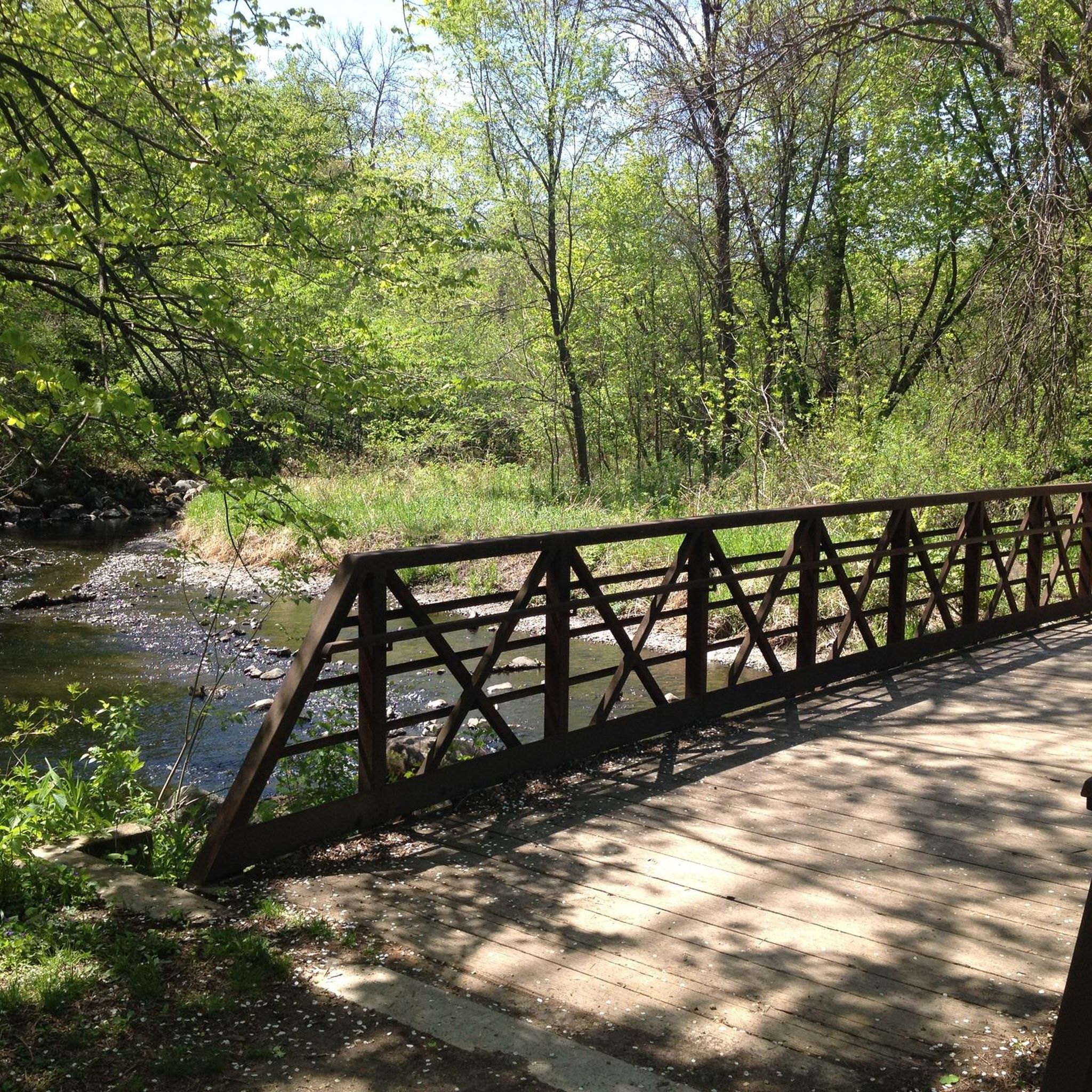
Big bridge with a neat bike section mounted lower than the car section. Nice way to cross the river on a bike.
2
0
Paved path, single track mountain bike trails, lots of ways to explore!
1
0

In addition to multiple picnic shelters, the Minnesota Department of Natural Resources reports that there are abundant populations of Bluegill and Northern Pike which are available for fishing. In addition to several picnic shelters, the Minnesota Department of Natural Resources reports that there are large populations of Bluegill and Northern Pike available for fishing.
3
0
There is a second picnic shelter nearby. It is situated on a small hill, set back from the pond, and already has a picnic table available for use.
4
0
Very nice park, lots of picnic options, playground, bike/walk trail, friendly people
0
0
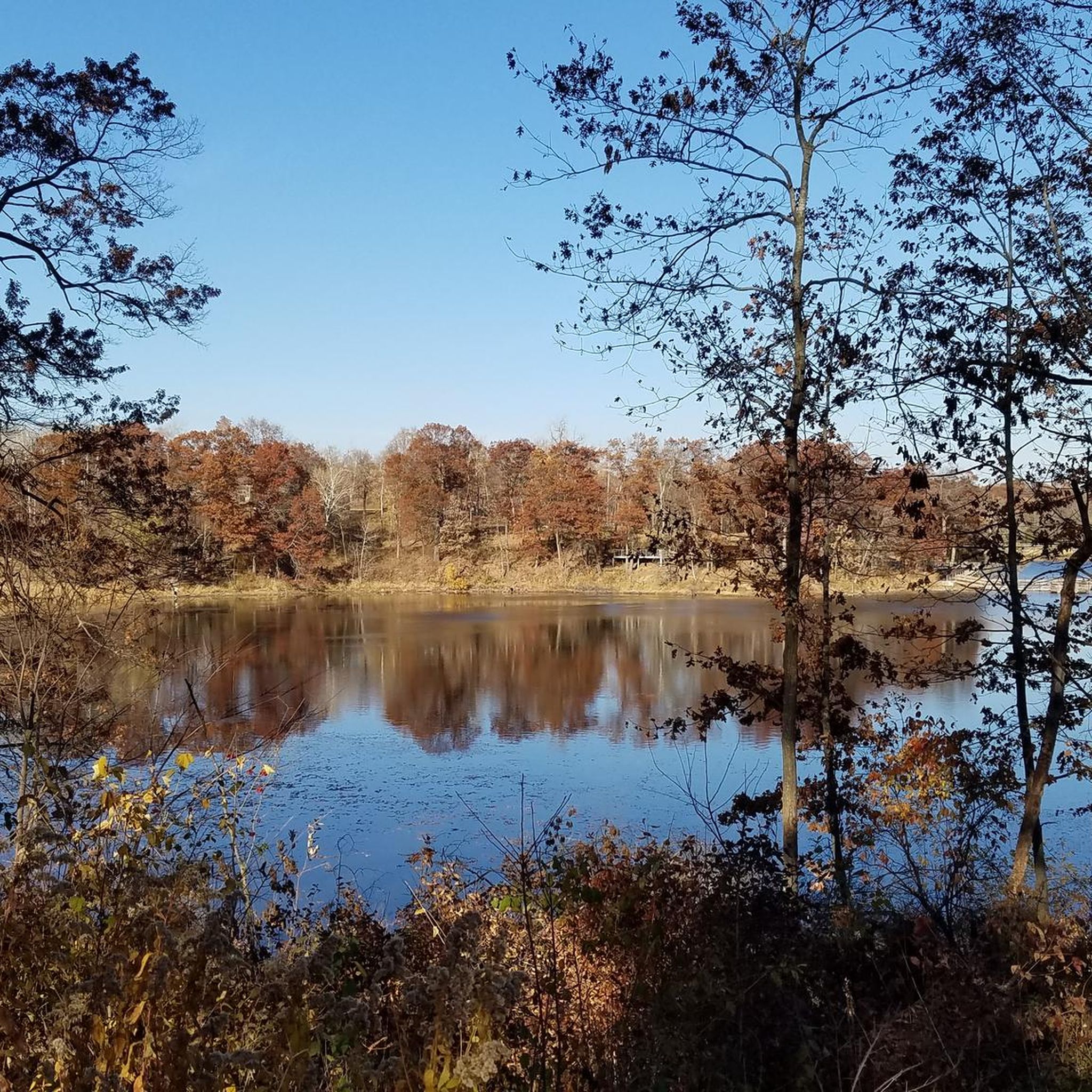
There are several picnic shelters around the lake, lots that are single tables and raised up on hills with good views of the lake. Nice neighborhood park!
0
0
Nice overlook of the lake, looks like sometimes it has a picnic table inside
0
0
Frequently Asked Questions
Are the hiking trails around Burnsville suitable for families and children?
Yes, the area is very family-friendly. Most trails are rated as easy, with minimal elevation change, making them accessible for hikers of all ages. A great option is the Sunset Pond Park – gazebo on the lake loop, which is a relatively short and flat walk around a scenic pond.
What is the terrain like on the trails in Burnsville?
The hiking terrain around Burnsville is generally flat. The trails primarily follow the Minnesota River greenways and paths within the Minnesota Valley National Wildlife Refuge. You can expect well-maintained trails with a focus on river and lakeside scenery rather than significant climbs.
Are there any circular or loop trails available?
Yes, there are several loop trails. A popular choice is the Old Cedar Avenue Bridge & Long Meadow Lake loop. This route offers a comprehensive tour around Long Meadow Lake within the wildlife refuge.
Can I bring my dog on the hiking trails?
Many trails in the Burnsville area, especially within parks and wildlife refuges, are dog-friendly, but they must be kept on a leash. The Black Dog Trail is a good option. Always check local signage at the trailhead for specific park rules regarding pets.
What kind of scenery can I expect on a hike?
The scenery is dominated by the natural beauty of the Minnesota River valley. Expect to see expansive wetlands, peaceful lakeside views, and woodlands. The trails offer excellent opportunities for birdwatching and enjoying the tranquil river environment.
Are there any long-distance hiking options?
Yes, you can find several longer hikes. For example, the Minnesota River Greenway trail is over 7 miles (11 km) long and takes you through the heart of the Minnesota Valley Wildlife Refuge, offering an immersive experience of the area.
How many hiking trails are there around Burnsville?
There are over 140 hiking routes to explore in and around Burnsville. The vast majority of these are easy or moderate, providing a wide range of options for different fitness levels and preferences.
What do other hikers think of the trails in Burnsville?
The trails are highly regarded by the komoot community. Reviewers often praise the accessible, flat paths and the beautiful scenery within the Minnesota Valley National Wildlife Refuge. The peaceful atmosphere and opportunities for wildlife spotting are frequently mentioned as highlights.
Are there any trails that connect to state parks?
Yes, the Mendota Trail provides a direct connection into the historic Fort Snelling State Park. It's a great way to extend your hike and explore the trails within the park.
Where can I find a good place to park for a hike?
Most trailheads have designated parking areas. For example, Terrace Oaks West Park is a popular starting point with easy access to trails. It's always a good idea to arrive early on weekends, as parking at popular spots can fill up.
Most popular attractions around Burnsville

Get inspired with the komoot mobile app


Explore more
Browse the best Hikes in other regions.
