The 20 Most Amazing Peaks in Landkreis Amberg-Sulzbach
Best mountain peaks in Landkreis Amberg-Sulzbach are found within the Bavarian Jura mountains, characterized by diverse peaks and valleys. This region offers a variety of elevations, each with distinct features for hikers and nature enthusiasts. The landscape includes prominent hills, summits with historical sites, and peaks offering expansive views. The area provides numerous opportunities to explore its natural features.
Best mountain peaks in Landkreis Amberg-Sulzbach
- The most popular mountain peaks is Ossinger Observation Tower and Ossinger Hut, a viewpoint…
Last updated: May 11, 2026
Ossinger Observation Tower and Ossinger Hut
Highlight • Viewpoint
Translated by Google •
Tip by

St. John's Chapel Above Königstein
Highlight • Religious Site
Translated by Google •
Tip by

Sign up now to discover places like this
Get recommendations on the best single tracks, peaks, & plenty of other exciting outdoor places.
Sign up for free
Hartenfels Summit and Castle Ruins
Highlight • Summit
Translated by Google •
Tip by

Amberg Transmitter (Rotbühl)
Highlight • Monument
Translated by Google •
Tip by

Buchberg Summit
Highlight • Summit
Translated by Google •
Tip by
Rotbühl Summit (673 m)
Highlight • Summit
Translated by Google •
Tip by

Summit cross on Osterlochfelsen
Highlight • Summit
Translated by Google •
Tip by
Pilgrimage Church of St. John the Baptist on Johannisberg
Highlight • Religious Site
Translated by Google •
Tip by

Gottvaterberg
Highlight • Summit
Translated by Google •
Tip by
Monte Caolino Summit
Highlight • Summit
Translated by Google •
Tip by
Sign up for free to discover even more peaks in Landkreis Amberg-Sulzbach.
Sign up for free
Already have an account?
Start today with a free account
Your next adventure awaits.
Login or Signup
Popular around Landkreis Amberg-Sulzbach
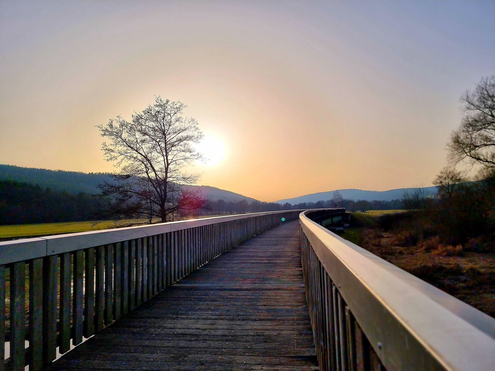
Bavaria-Bohemia long-distance cycling trail – Crossing borders
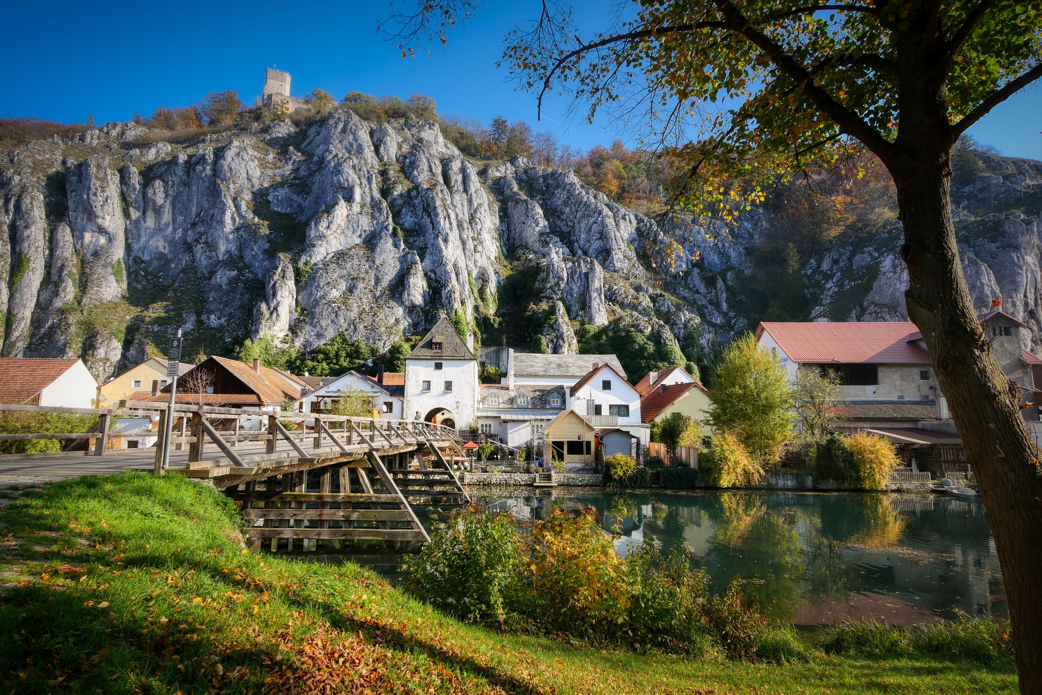
Jurasteig — hiking in the heart of Bavaria
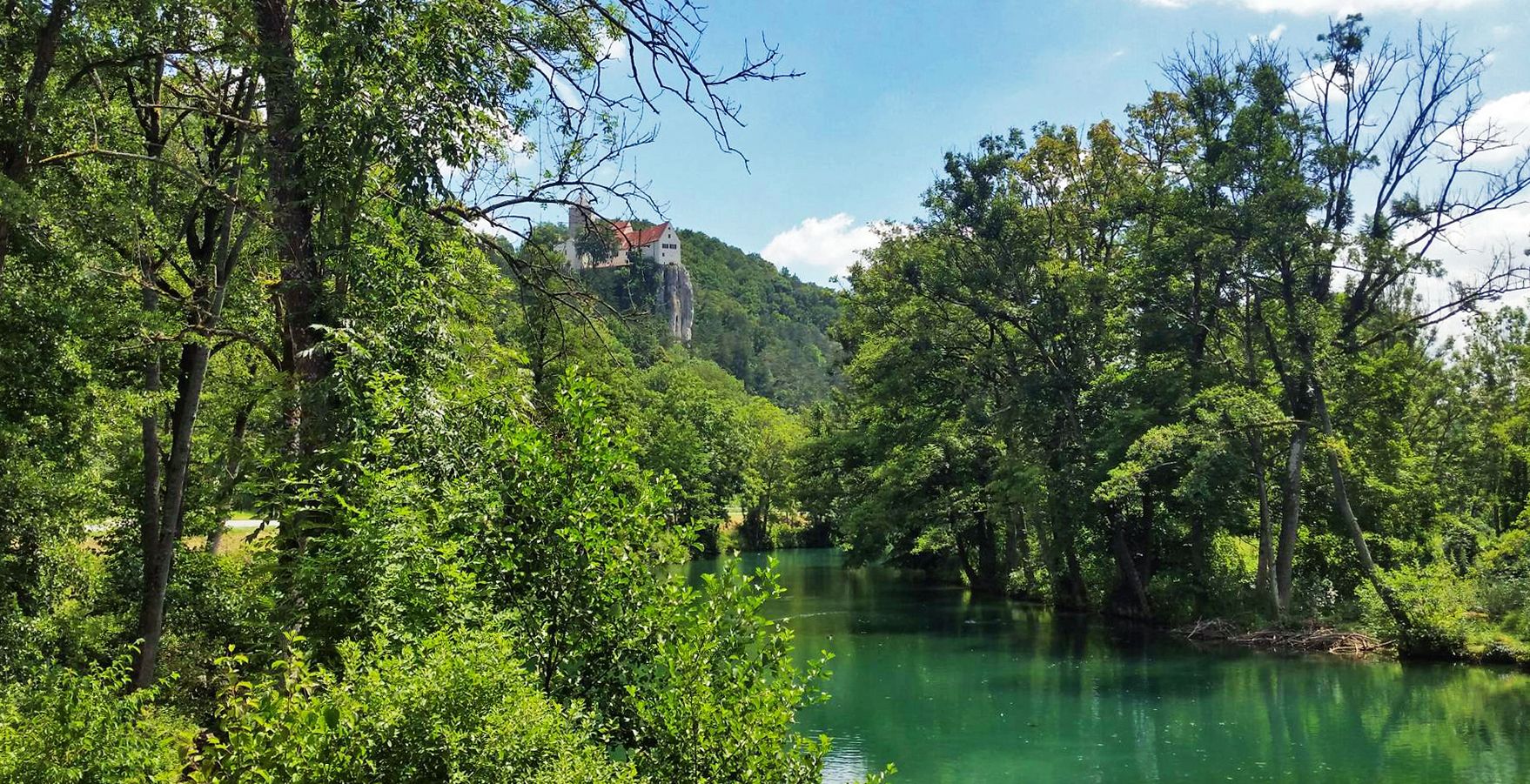
Five Rivers Cycle Path — 5 stages along Bavaria's most beautiful rivers

The National Natural Landscapes in Bavaria
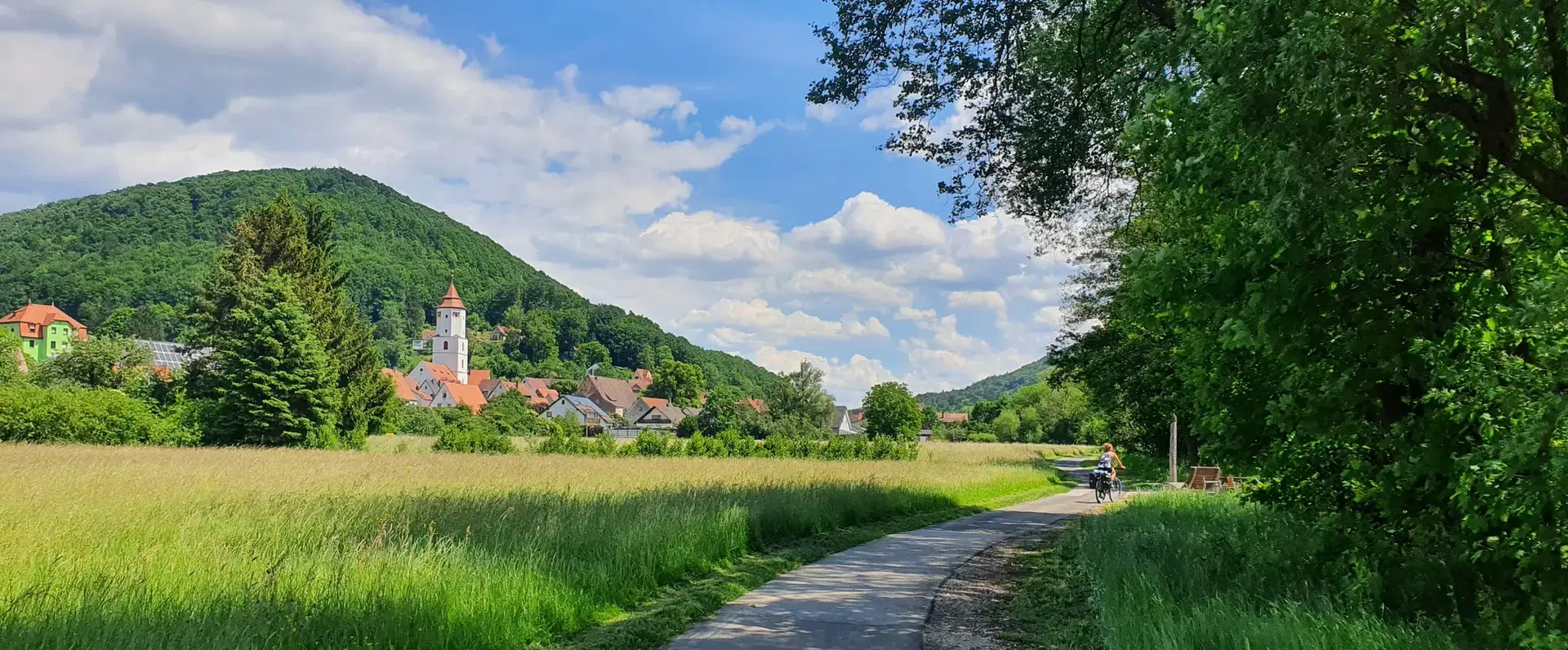
Cycling through the Nuremberg metropolitan region – nature & enjoyment
City, country, lake – VGN leisure tips 2025

Nature, the outdoors and adventure – hiking through the VGN's nature parks
11 Days on the Erzweg Quality Hiking Trail
All aboard for summer hiking with Germany’s VGN
Full of views and fun – VGN leisure tips 2022
Other adventures in Landkreis Amberg-Sulzbach


Tips from the Community

Burgstall Hartenfels The site of the abandoned spur castle is located in the Middle Franconian Jura, on a southwest-facing rocky spur of the Great Hartenfels at 530.6 m above sea level. The castle was probably built during the 13th century by the Lords of Neidstein, but there is no mention of the castle itself. It is only mentioned indirectly in a document dated February 21, 1268, in the name of Heinrich von Hertenvels. In addition to the high medieval fortification on the Hartenfels, there are also the remains of a prehistoric structure at the same location. A long section of the rampart, about half a meter high, has been preserved, which arches around the mountain spur outside the moat of the medieval castle and thus sealed it off. Today, the site of the former castle is completely overgrown with forest, and only two ditches and the remains of the foundation walls of the former ring wall have survived. The former hilltop castle was once divided into two areas, an outer bailey at the transition from the spur to the flat summit area or plateau of the Hartenfels, and a main castle at the rocky tip of the mountain spur, in the best protected place by nature. The outer bailey was protected by a two-meter-deep and about ten-meter-wide moat. The area of the outer bailey is irregularly shaped, as it was adapted to the rocky terrain between the plateau and the rocky spur. As it was easily attacked from the plateau, it had to be protected on its north-east side by a strong wall, of which a 4.50-meter-wide and one-meter-high rampart still remains. Approximately in the middle of this rampart, a 3.80-meter-wide break gives an idea of the former entrance to the castle, and even today you enter the castle grounds at this point. The main castle has a trapezoidal area about 50 meters long and 25 meters wide. On its west and south sides it is well protected by the vertical drop of the rocks by several meters and the steep eastern slope also offered sufficient protection. Only at the northwest corner is a small remnant of a wall still visible above ground. There are no further traces of construction on the flat surface of the main castle, apart from an almost square pit in the middle of the area. This pit measures 4 by 3.50 meters and could be the remains of a cistern or a cellar room. Source: Excerpts from www.wikipedia.de
2
0


The St. John's Chapel is located above Königstein and is definitely worth a climb on the beautiful hiking trails.
0
0

Chapel on a beautiful hill. Very idyllic
1
0
A beautiful hill for a chapel, very idyllic.
1
0

The summit of the Rotbühl is decorated with a small cross and a nice bench to relax. At 673m, it is the highest point in the Amberg Sulzbach district. The Buchberghütte nearby and the cross-country skiing center also make it interesting for hikers and mountain bikers.
2
0

Very beautiful chapel. The view from there is also highly recommended.
2
0

Small summit cross with a bench for a rest
2
0
Frequently Asked Questions
What are the most prominent mountain peaks to visit in Landkreis Amberg-Sulzbach?
The region features several prominent peaks. The highest is Rotbühl, reaching 687 meters. Other significant peaks include Ossinger, known for its observation tower and managed hut, and Buchberg, which features a summit cross and stone altar. Mariahilfberg, with its Pilgrimage Church of St. John the Baptist, is also a notable elevation.
Which mountain peaks offer the best panoramic views in Landkreis Amberg-Sulzbach?
For breathtaking panoramic views, visit the Ossinger Observation Tower and Ossinger Hut. From its tower, you can enjoy expansive vistas of the Franconian and Upper Palatinate countryside. The St. John's Chapel Above Königstein and Gottvaterberg also provide wonderful viewpoints.
Are there any family-friendly mountain peaks or trails in the region?
Yes, the Amberg Transmitter (Rotbühl) is noted as a family-friendly destination. Generally, many trails in the region offer varying difficulties, and you can find easier hiking options within the broader Hiking in Landkreis Amberg-Sulzbach guide.
What historical or cultural sites can be found on or near the mountain peaks?
Several peaks have historical significance. The St. John's Chapel Above Königstein is a renovated religious building offering a place for reflection. The Hartenfels Summit and Castle Ruins combines a summit experience with historical castle remnants. Additionally, the Pilgrimage Church of St. John the Baptist on Johannisberg is a notable religious site.
What kind of facilities or amenities are available at the mountain peaks?
The Ossinger Observation Tower and Ossinger Hut is particularly well-equipped, featuring an observation tower and a managed mountain hut where you can find hearty meals. Some summits, like Buchberg Summit, offer benches for resting and summit crosses.
What outdoor activities can I do near the mountain peaks in Landkreis Amberg-Sulzbach?
Beyond hiking to the peaks, the region offers diverse outdoor activities. You can explore numerous trails for hiking, including parts of the Jurasteig trail and specialized cave hikes. There are also extensive options for road cycling and even waterfall hikes.
When is the best time to hike the mountain peaks in Landkreis Amberg-Sulzbach?
The region is generally appealing for hiking from spring through autumn. For instance, the Gottvaterberg is noted for its unique fragrance from summer up to autumn when the Quendel blooms, making it a pleasant time to visit and discover various plants like silver thistle and arnica.
Are there any unique natural features to observe on the mountain peaks?
Yes, the region is part of the Bavarian Jura, characterized by diverse peaks and valleys. On Gottvaterberg, for example, you can discover a variety of plants such as silver thistle, arnica, and fragrant cowslip. Many peaks are forested, offering a rich natural environment.
What do visitors enjoy most about the mountain peaks in Landkreis Amberg-Sulzbach?
Visitors frequently appreciate the unforgettable panoramic views, especially from spots like the Ossinger Observation Tower. The presence of managed huts, like the Ossinger Hut, and historical sites such as St. John's Chapel, also add to the appeal, offering places for rest and reflection amidst beautiful scenery.
Which mountain peak is considered the second highest in the district?
The Buchberg Summit, at 667 meters, is recognized as the second highest elevation in the Landkreis Amberg-Sulzbach district, after Rotbühl. It features a stone altar and a summit cross.
Can I find any less-known or 'hidden gem' mountain peaks in the area?
While popular peaks like Ossinger and Rotbühl are well-known, exploring summits like Summit cross on Osterlochfelsen or Monte Caolino Summit can offer a quieter experience. These peaks still provide beautiful views and natural surroundings, often with fewer crowds.
Most popular routes in Landkreis Amberg-Sulzbach
Most popular attractions in Landkreis Amberg-Sulzbach

Get inspired with the komoot mobile app


Explore more
See even more amazing summits in Landkreis Amberg-Sulzbach with these guides:
