The 3 Most Amazing Peaks in Landkreis Landshut
Mountain peaks in Landkreis Landshut are characterized by rolling hills, dense forests, and river valleys, offering numerous opportunities for outdoor activities. The region's highest elevation is around 520 meters above sea level near Wurmsham, providing vantage points over the surrounding landscape. These elevated areas offer panoramic views of the diverse scenery, including the Isar River Valley and the Vilstal. The landscape is ideal for hiking and cycling, with trails traversing varied terrain.
Best mountain peaks in Landkreis Landshut
- The most popular mountain peaks is Highest Point in the Landshut District, a summit that is located around 520 meters above sea level near Wurmsham. From this point, visitors have a beautiful view of the surroundings.
- Another must-see spot is St. Salvator Church (Waltensburger Church), a religious building situated on a quiet hill with expansive views. A beautiful forest path leads from this location to Treidlkofen.
- Visitors also love View of the Alps from the highest point in Landkreis Landshut, a viewpoint offering great vistas when the weather is clear. This area features many small paths off the beaten track and small chapels.
- Landkreis Landshut is known for its elevated points, hills, and viewpoints. The region offers a variety of summits and scenic spots for exploration and outdoor activities.
- The mountain peaks in Landkreis Landshut are appreciated by the komoot community, with 34 photos and 112 upvotes shared by visitors.
Last updated: May 20, 2026
Highest Point in the Landshut District
Highlight • Summit
Translated by Google •
Tip by

View of Landshut from Carossahöhe
Highlight • Viewpoint
Translated by Google •
Tip by

Sign up now to discover places like this
Get recommendations on the best single tracks, peaks, & plenty of other exciting outdoor places.
Sign up for free
St. Salvator Church (Waltensburger Church)
Highlight • Religious Site
Translated by Google •
Tip by

View of the Alps from the highest point in Landkreis Landshut
Highlight • Viewpoint
Translated by Google •
Tip by

Start today with a free account
Your next adventure awaits.
Login or Signup
Popular around Landkreis Landshut
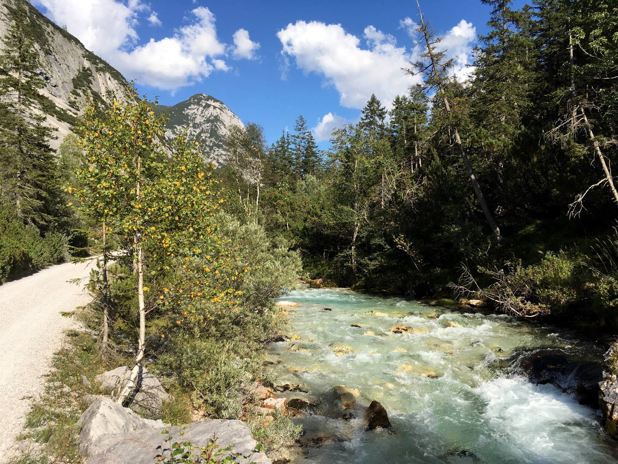
Isar cycle path — From Alpine peaks to the Auenwald (7 stages)
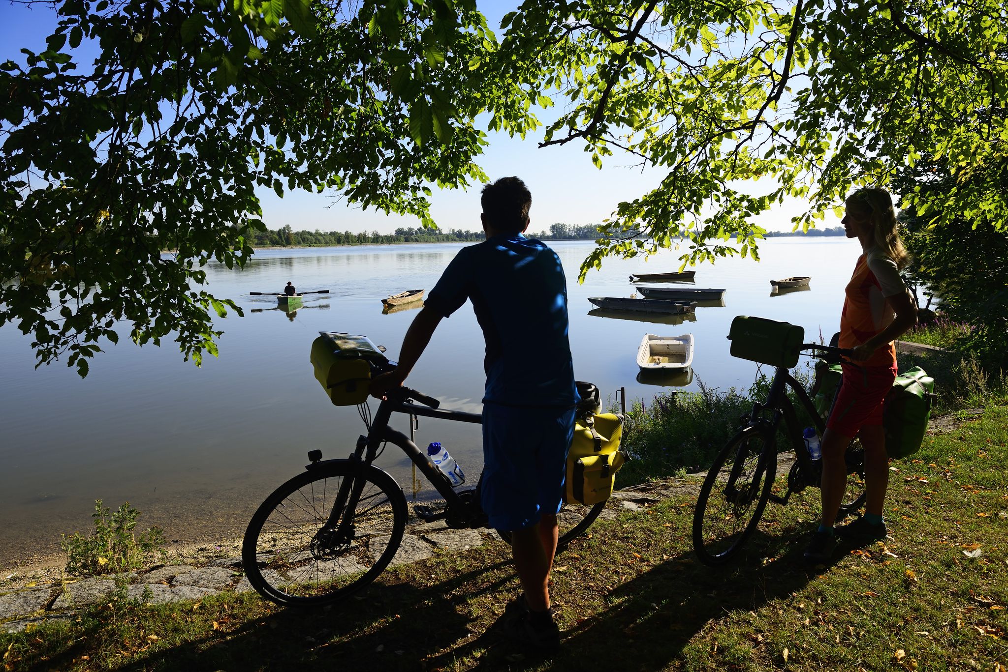
Niederbayerntour in 7 stages — Swim trunks, beer, baroque
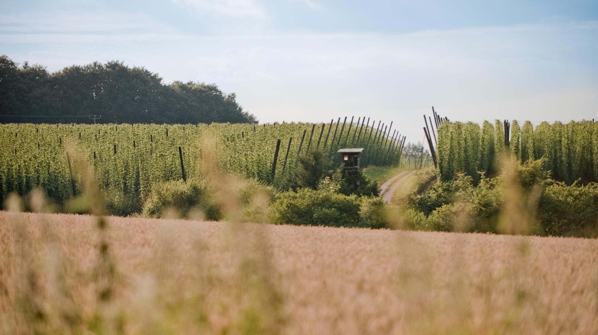
Through hop gardens and hills – hiking in the Hallertau
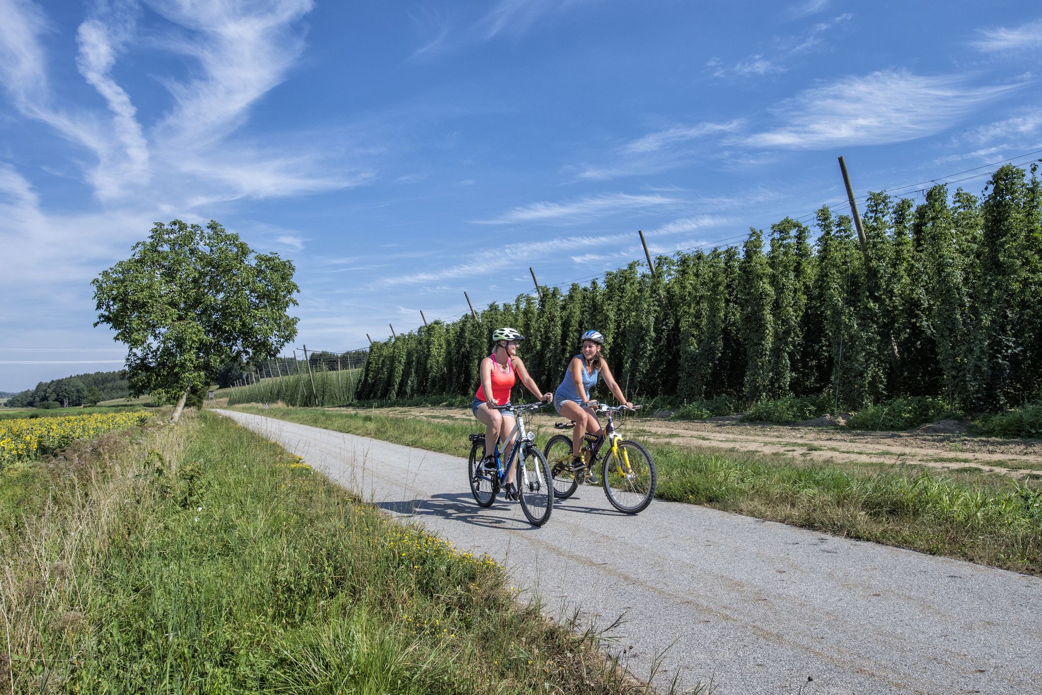
Cycling in the Hallertau – rides through the home of the green gold

#GoFurther – discover the views of Germany!
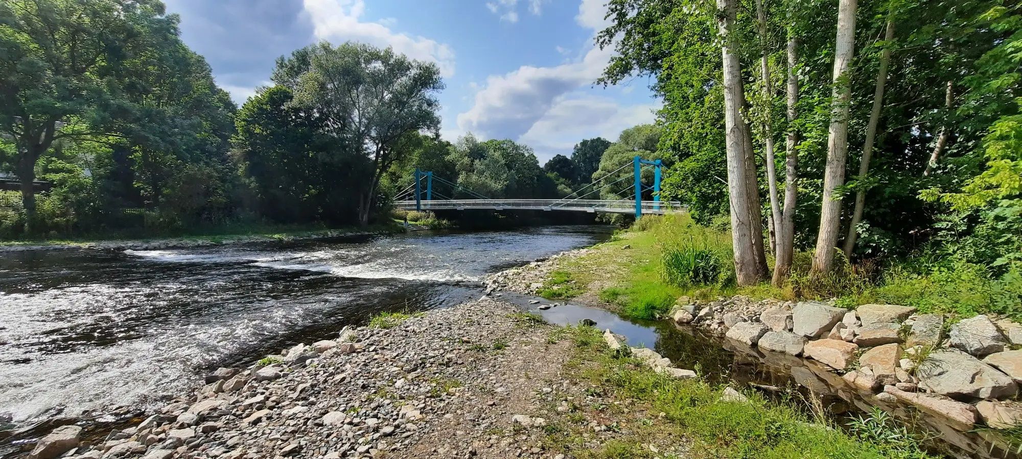
D-Route 11 – Baltic Sea - Upper Bavaria
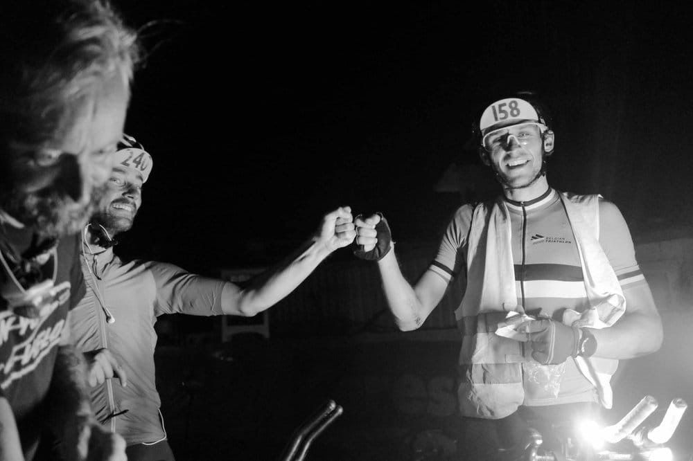
TCR No. 8 — racing across Europe
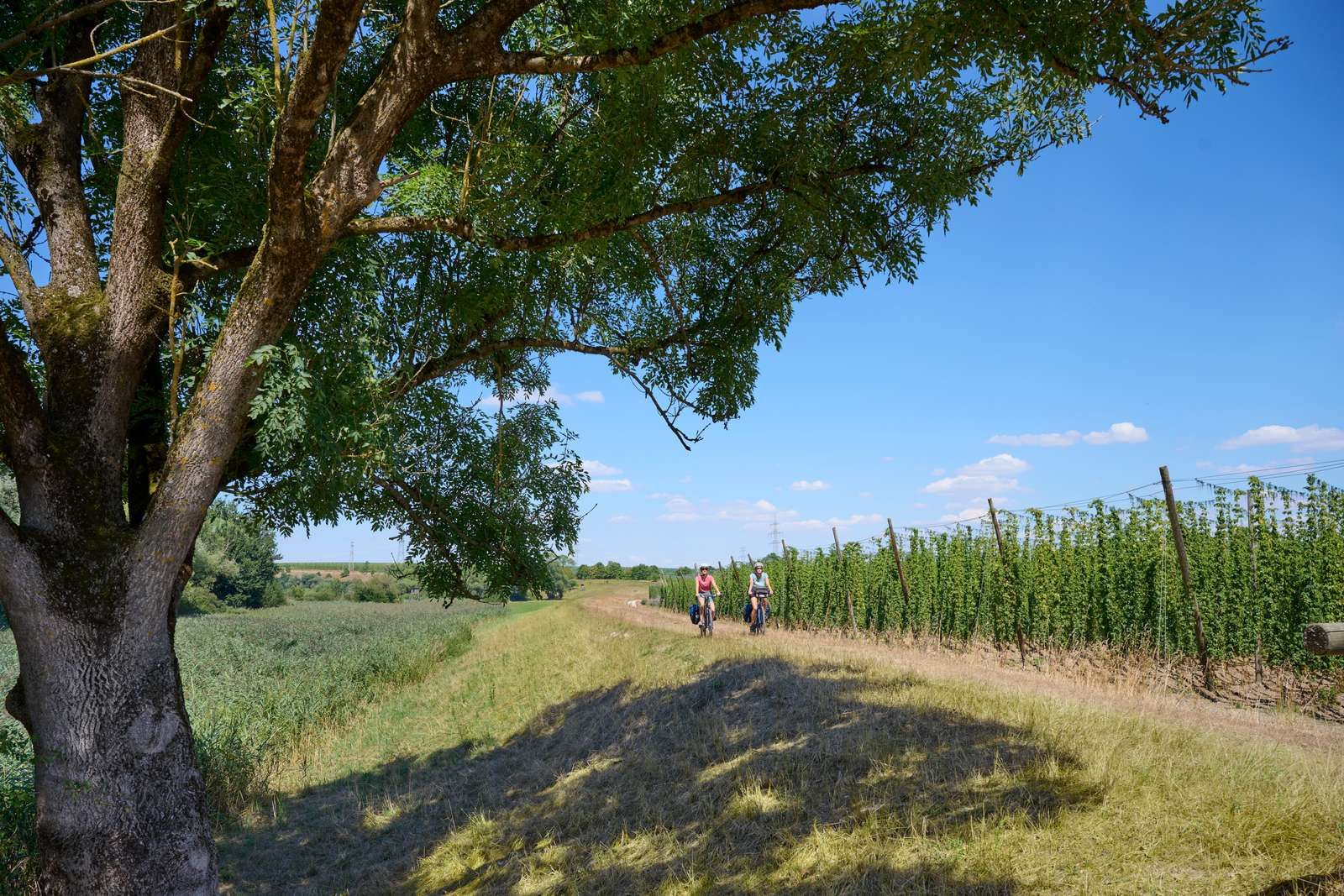
On the Niederbayerntour in 7 stages through the Bayerische Thermenland
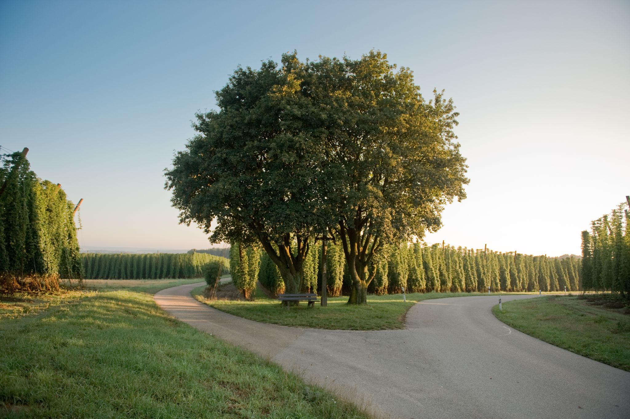
Radeln durchs Grüne Gold – Hallertauer Hopfentour
Tauche in die Geschichte ein! – Stadtrundgänge in Bayern
Other adventures in Landkreis Landshut


Tips from the Community

Very beautiful church on the mountain surrounded by fields... Beautiful... currently (Oct 2025) scaffolded
0
0

Col de Landshut!
0
0

The southern Isar valley slope (Carossahöhe) in Landshut > a geotope (extract from the environmental atlas) There are no remains of cold-era terraces on the southern erosional escarpment of the Isar in the urban area of Landshut. The slope is largely made of northern gravel from the Upper Freshwater Molasse. The gravel is partly caked into conglomerate and promotes the formation of steep slopes (261R003). Layer springs emerge from marl layers. Side valleys cut up the slope as notched valleys (e.g. Bernlocher Schluchtweg), outcrops e.g. B. on the eastern edge of the city (Äuß. Münchner Str. 99). https://www.umweltatlas.bayern.de/standortauskunft/rest/reporting/sb_geotope/generate?additionallayerfieldvalue=261R005
1
0

Great view of Landshut. Nice place to settle down.
1
0

Beautiful view over Landshut, including Trausnitz Castle, St. Martin's Church and Jodoks Church.
2
0
It is thanks to the construction of a new beer cellar in 1823 that an interesting archaeological ensemble of finds was discovered. The later mayor of Landshut, Carl Lorber, personally lent a hand, recovered the finds and made a few notes about them. This led to the first Landshut archaeological publication published by today's Landshuter Zeitung. At that time, the author Anton von Braunmühl dated the finds as "Old German", but today they are classified as belonging to the Urnfield period (1,300 -800 BC). Ceramic dishes, loom weights, bronze arrowheads, a sewing needle, fragmented molds - the context in which these objects come from is still controversial today. Were they grave goods from urn graves or did they come from a castle-like complex high up near the Carossahöhe? Finds from there are already known from the early Bronze Age (2,200 - 1,600 BC). A wall that can be traced back to this “castle” can still be seen in the area today. Otherwise it was well protected by the steep slopes of the Isarhangleite. *From the existing sign from the city of Landshut.
3
1

From here you have a 👍🏻 view of Landshut 😊
1
0

A great view of the whole city
2
1
Frequently Asked Questions
What are some notable elevated points or 'peaks' in Landkreis Landshut?
While not Alpine peaks, Landkreis Landshut features several elevated points offering scenic views. The highest elevation is the Highest Point in the Landshut District, located near Wurmsham at approximately 520 meters above sea level. Another significant spot is St. Salvator Church (Waltensburger Church), situated on a quiet hill with expansive views. You can also find the View of the Alps from the highest point in Landkreis Landshut, which offers great vistas on clear days.
What kind of views can I expect from the elevated areas in Landkreis Landshut?
From the higher points in Landkreis Landshut, you can enjoy beautiful panoramic views of the diverse landscape. This includes the picturesque Isar River Valley and the Vilstal. On clear days, especially from the View of the Alps from the highest point in Landkreis Landshut, you might even catch a glimpse of the distant Alps.
Are there family-friendly elevated areas or walks in Landkreis Landshut?
Yes, several elevated points in Landkreis Landshut are suitable for families. Both the Highest Point in the Landshut District and St. Salvator Church (Waltensburger Church) are categorized as family-friendly. These locations offer accessible paths and pleasant surroundings for a leisurely outing.
What outdoor activities can I do near the elevated points in Landkreis Landshut?
The rolling hills and forests of Landkreis Landshut are ideal for various outdoor activities. You'll find numerous opportunities for hiking and cycling. For hiking, consider exploring routes like the 'Time Trails Hike – Bruckberg Museum loop' or the 'Landshut Ridge Trail'. If you're interested in running, there are trails such as 'The Isar Near Landshut – Ländsteg Bridge (Landshut) loop'. You can find more details on these activities in the Hiking in Landkreis Landshut and Running Trails in Landkreis Landshut guides.
Are there historical or cultural sites located on or near the elevated points in the region?
Yes, the region combines natural beauty with cultural charm. St. Salvator Church (Waltensburger Church) is a notable religious building and historical site situated on a hill, offering a quiet location and expansive views. Additionally, while not directly on a peak, Trausnitz Castle in the city of Landshut provides historical context and offers great views of the city and surroundings from its elevated position.
What is the best time of year to visit the elevated areas in Landkreis Landshut?
The elevated areas of Landkreis Landshut are enjoyable throughout much of the year. Spring and autumn offer pleasant temperatures and vibrant natural colors, making them ideal for hiking and cycling. Summer is also great for outdoor activities, though it can be warmer. Even in winter, some trails are suitable for hiking, offering a tranquil experience in a snow-dusted landscape.
Are there specific hiking trails near the highest points in Landkreis Landshut?
Yes, the area around the highest points, such as the Highest Point in the Landshut District, is crisscrossed with trails. For example, a beautiful forest path leads from St. Salvator Church (Waltensburger Church) to Treidlkofen. The area around the View of the Alps from the highest point in Landkreis Landshut also features many small paths off the beaten track, perfect for exploration. You can find more hiking options in the Hiking in Landkreis Landshut guide.
What makes the elevated areas of Landkreis Landshut unique compared to other mountain regions?
Unlike the dramatic ascents of the Alps, the elevated areas of Landkreis Landshut are characterized by rolling hills, dense forests, and river valleys. This offers a serene and engaging experience for nature lovers and outdoor enthusiasts seeking scenic views and tranquil exploration rather than challenging alpine climbs. The focus here is on picturesque vistas, diverse flora, and peaceful natural environments.
What do visitors particularly enjoy about the elevated points in Landkreis Landshut?
Visitors frequently appreciate the beautiful panoramic views of the surroundings, especially from spots like the Highest Point in the Landshut District. The quiet and peaceful locations, such as St. Salvator Church (Waltensburger Church), are also highly valued. Many enjoy discovering the numerous small paths and chapels, particularly around the View of the Alps from the highest point in Landkreis Landshut, which offer a sense of exploration off the main routes.
Are there any easy hiking trails suitable for beginners near the elevated points?
Yes, Landkreis Landshut offers several easy hiking trails. For beginners, routes like the 'Time Trails Hike – Bruckberg Museum loop' or the 'Wooden Bridge Over Stream – Isar Floodplains, Landshut loop' are good starting points. These trails typically feature gentle paths and are suitable for those new to hiking. More options can be found in the Easy hikes in Landkreis Landshut guide.
Can I find circular hiking routes around the elevated areas?
Yes, the region offers various circular hiking routes that allow you to explore the elevated areas and return to your starting point. Many trails are designed as loops, traversing varied terrain from river valleys to elevated forests. For example, the 'Landshuter Höhenwanderweg' (Landshut High-Altitude Trail) offers a route along the heights south of the Isar, featuring scenic viewpoints and picturesque churches.
Most popular routes in Landkreis Landshut
Most popular attractions in Landkreis Landshut

Get inspired with the komoot mobile app


Didn’t find what you were looking for?
Discover Landkreis Landshut’s best peaks and summits by region:
Explore more
See even more amazing summits in Landkreis Landshut with these guides:
