The best walks and hikes around Eberhardzell
4.5
(5043)
24,123
hikers
52
hikes
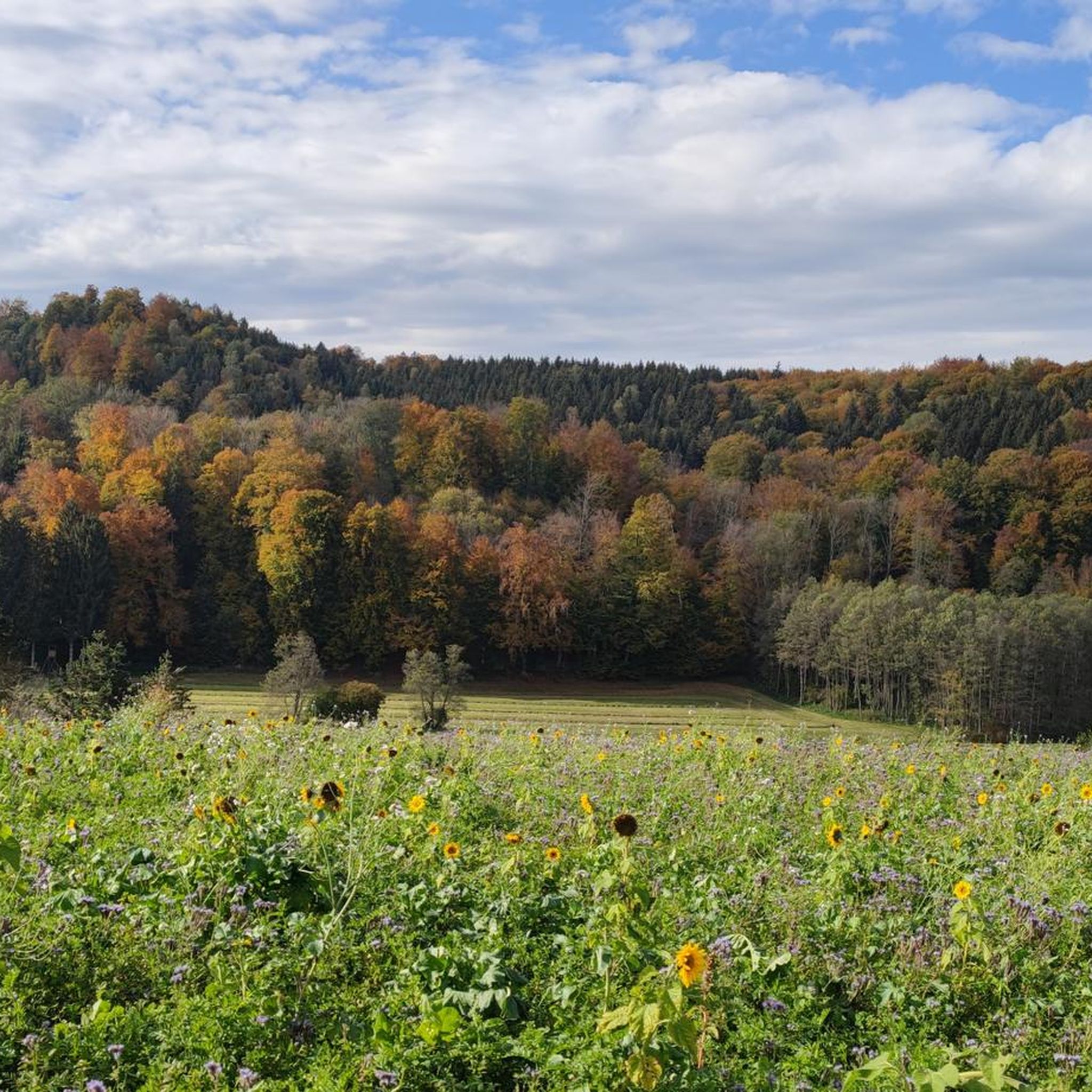
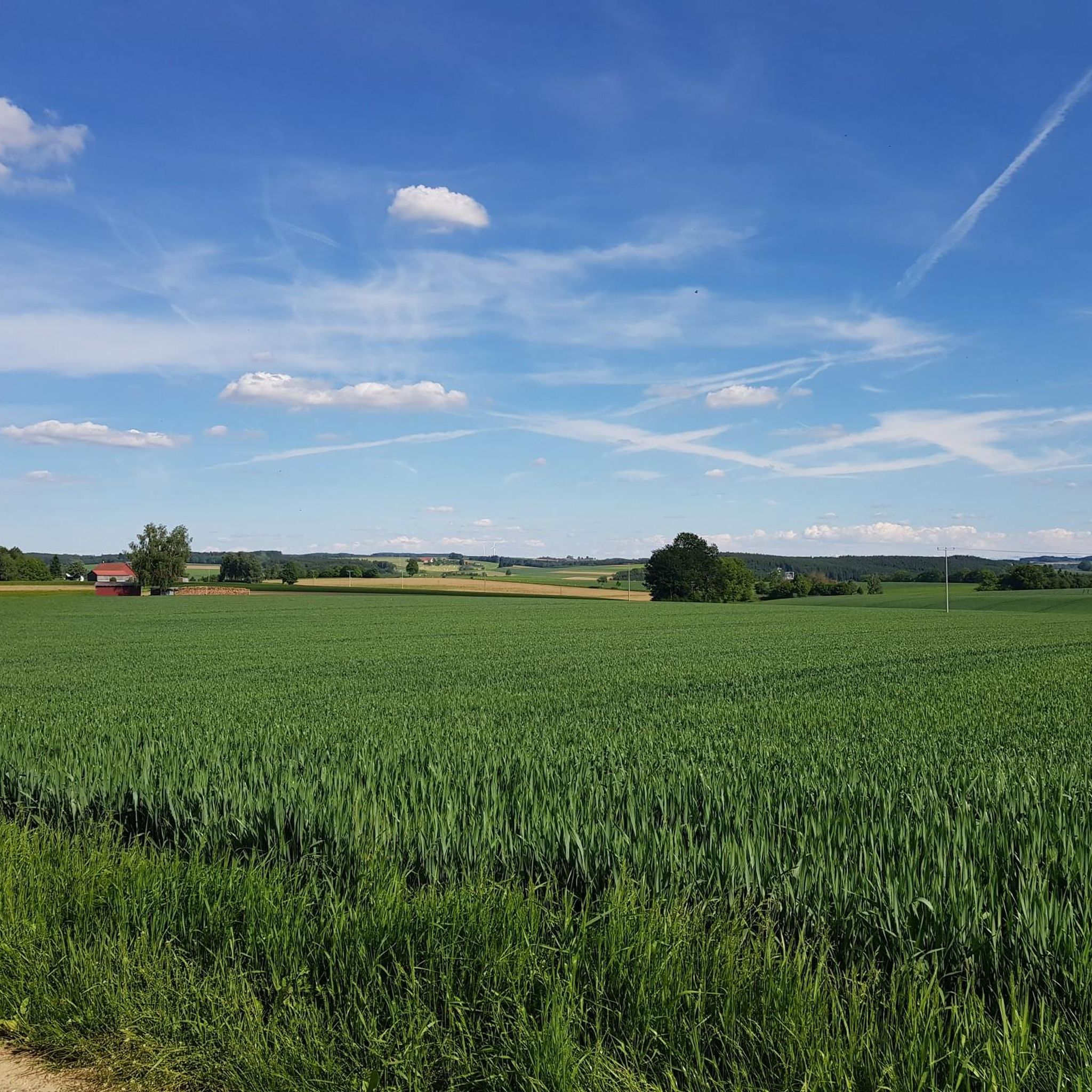
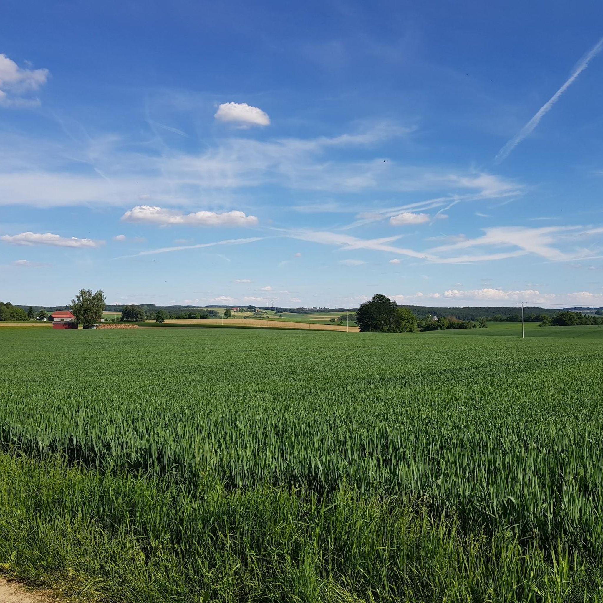
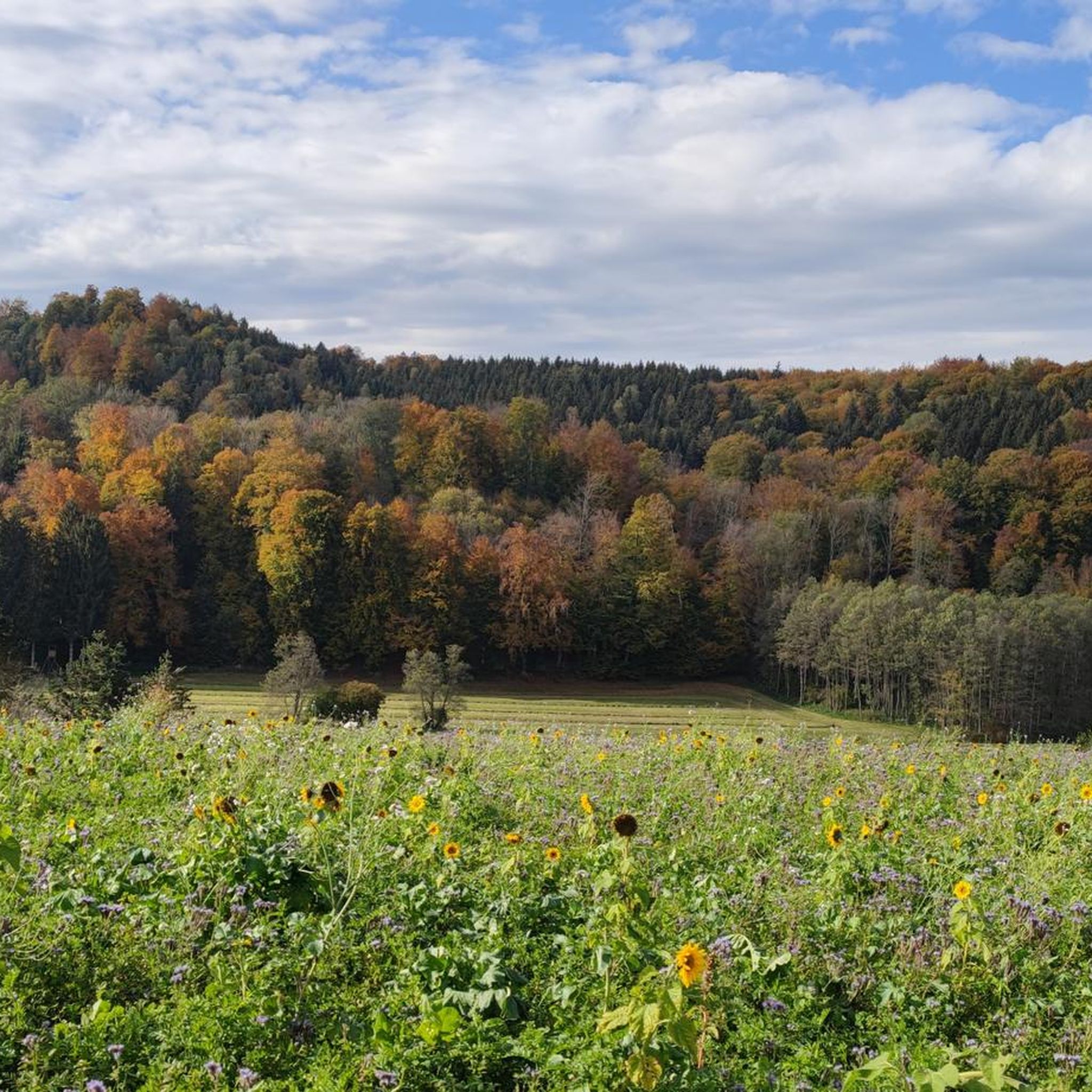
Hiking around Eberhardzell offers diverse landscapes, including rolling hills, expansive meadows, and serene forests. The region is characterized by the unique moorland of the Wettenberger Ried and the picturesque Umlachtal valley. Hikers can also encounter the Längenmooser Weiher pond and the Fockenwald forest, with clear days providing views of the distant Alpine panorama.
Best hiking trails around Eberhardzell
- The most popular hiking route is Wettenberger Ried Moor Trail – Forest Trail through the Wettenberger Ried loop from Eberhardzell, a 3.7 miles (5.9 km) trail that takes about 1 hour 58 minutes to complete. This route provides an immersive experience in the moorland landscape.
- Another top favourite among local hikers is Holzweiher – View from Tristolzer Mountain loop from Füramoos, an easy 4.5 miles (7.3 km) path. This trail offers views from Tristolzer Mountain and passes by the Holzweiher.
- Local hikers also love the Narrenbrunnen Eberhardzell – St. Maria Church, Eberhardzell loop from Eberhardzell, a 3.8 miles (6.1 km) trail leading through the local area, often completed in about 1 hour 35 minutes.
- Hiking around Eberhardzell is defined by rolling hills, expansive meadows, and serene forests, including the unique Wettenberger Ried moorland. The network offers options for different ability levels, from easy strolls to moderate excursions.
- The routes in Eberhardzell are highly rated by the komoot community with an average score of 4.5 stars from over 4000 reviews. More than 22,000 hikers have used komoot to explore Eberhardzell's varied terrain.
Last updated: October 7, 2026
4.6
(19)
49
hikers
9.94km
02:43
150m
150m
Moderate hike. Good fitness required. Easily-accessible paths. Suitable for all skill levels.
4.1
(9)
28
hikers
7.27km
01:56
70m
70m
Easy hike. Great for any fitness level. Easily-accessible paths. Suitable for all skill levels.

5.0
(1)
6
hikers
Easy hike. Great for any fitness level. Easily-accessible paths. Suitable for all skill levels.
4.4
(7)
23
hikers
Easy hike. Great for any fitness level. Easily-accessible paths. Suitable for all skill levels.
4.2
(5)
9
hikers
Easy hike. Great for any fitness level. Easily-accessible paths. Suitable for all skill levels.
Get access to more routes and recommendations from other explorers.
Already have an account?
Our route recommendations are based on thousands of hikes, rides, and runs completed by other people on komoot.
Start today with a free account
Your next adventure awaits.
Tips from the Community

I live in Kempten and putting up a sign about the mountains here is very brave. The mountains are far away and probably only visible for a few days a year, during Föhn wind and in winter.
0
0


Along the terminal moraine north of the Wurzacher Ried in the Umlachtal with cute little hamlets, to the mouth of the Riß near Biberach
2
0


A bit difficult to see as it is not visible from the street. Just be brave...
2
0

Nice view in clear weather 😀😅
0
0

Frequently Asked Questions
How many hiking trails are available around Eberhardzell?
There are over 50 hiking trails around Eberhardzell, offering a variety of experiences from easy strolls to more moderate excursions through the diverse landscapes of the region.
What is the best time of year to go hiking in Eberhardzell?
The best times for hiking in Eberhardzell are typically spring, when meadows are in bloom and the landscape is vibrant, and autumn, when the forests display their rich, warm colors.
Are there any easy hiking trails suitable for beginners or a relaxed walk?
Yes, Eberhardzell offers many easy trails. For example, the Holzweiher – View from Tristolzer Mountain loop from Füramoos is an easy 4.5-mile (7.3 km) path that takes about 1 hour 55 minutes to complete, offering pleasant views.
What kind of landscapes can I expect to see on the trails around Eberhardzell?
Hikers in Eberhardzell can expect a varied topography, including expansive meadows, agricultural fields, and serene forests. Key natural features include the unique Wettenberger Ried Moor, the picturesque Umlachtal valley with the Umlach river, and the Längenmooser Weiher pond. On clear days, you might even catch a glimpse of the majestic Alpine panorama.
Are there any family-friendly hiking routes in the area?
Yes, the region offers routes suitable for families. The 'Weiler Wiesen' is described as a family-friendly circular route, taking hikers along the idyllic Umlach river and through the Fockenwald forest. Another easy option is the Narrenbrunnen Eberhardzell – St. Maria Church, Eberhardzell loop from Eberhardzell, which is 3.8 miles (6.1 km) long and takes about 1 hour 35 minutes.
Can I bring my dog on the hiking trails in Eberhardzell?
Most hiking trails in Eberhardzell are generally dog-friendly, allowing you to enjoy the natural surroundings with your canine companion. However, it's always recommended to keep dogs on a leash, especially in nature reserves like the Wettenberger Ried Moor, and to be mindful of local regulations and other hikers.
What are some notable natural features or landmarks to look out for on the hikes?
While hiking, you can explore the unique Wettenberger Ried Moor, walk along the Umlach river in the Umlachtal valley, or pass by the Längenmooser Weiher pond. For cultural landmarks, consider visiting the baroque parish church of St. Martin in Eberhardzell or the historic market square. You can also find highlights like the Bad Waldsee Old Town and the Town Lake or the Pilgrimage Church of Steinhausen nearby.
Are there any circular hiking routes in Eberhardzell?
Yes, many routes in Eberhardzell are circular, allowing you to start and end at the same point. A prominent example is the Wettenberger Ried Moor Trail – Forest Trail through the Wettenberger Ried loop from Eberhardzell, which is a 6.7-mile (10.8 km) moderate route through the moorland.
What do other hikers say about the trails in Eberhardzell?
The routes in Eberhardzell are highly rated by the komoot community, with an average score of 4.5 stars from over 180 reviews. Hikers often praise the diverse landscapes, including the quiet moorlands and scenic views, and the well-maintained paths.
Is there public transport access to the hiking starting points?
Eberhardzell is integrated into broader hiking networks, suggesting some connectivity. While specific public transport details for individual trailheads are not provided, local bus services typically connect the main village with surrounding areas. It's advisable to check local transport schedules for the most up-to-date information on reaching specific starting points.
Are there any long-distance hiking trails that pass through Eberhardzell?
Yes, Eberhardzell is part of larger hiking networks. Sections of the Schwarzwald-Swabian Alb-Allgäu Trail (HW5) and the Main-Danube-Lake Constance Trail (HW4) pass through the area, offering extensive trekking opportunities. Additionally, parts of the historic Upper Swabian Way of St. James pilgrimage route can be found here.
Most popular routes around Eberhardzell
Most popular attractions around Eberhardzell

Get inspired with the komoot mobile app


Explore more
Browse the best Hikes in other regions.
