The best road cycling routes around Wakefield
4.6
(83)
2,850
riders
12
rides
If you have ever tried to plan road cycling around Wakefield, you know how overwhelming the options can be. It's tough to tell which routes are genuinely worth the effort, and which are just filler. That's where we come in. Our komoot community has mapped, ridden, and reviewed these routes, so we've curated a shortlist of the ones that are truly worth your legs, saving you the guesswork.
Road cycling in Wakefield is defined by its scenic lake loops and…
Last updated: June 4, 2026
5.0
(3)
12
riders
33.0km
01:21
160m
160m
Easy road ride. Great for any fitness level. Mostly well-paved surfaces and easy to ride.
15
riders
51.3km
02:10
260m
260m
Moderate road ride. Good fitness required. Some segments of this route may be unpaved and difficult to ride.

Sign up for free
6
riders
61.4km
02:33
360m
360m
The Harold Parker State Forest – Lake Quannapowitt loop from Wakefield offers a fantastic mixed-surface road cycling adventure, blending the tranquil, paved shores of Lake Quannapowitt with the rugged, rolling…
5.0
(1)
5
riders
41.7km
01:47
160m
160m
Easy road ride. Great for any fitness level. Mostly well-paved surfaces and easy to ride.
6
riders
163km
07:07
1,160m
1,160m
Hard road ride. Very good fitness required. Some segments of this route may be unpaved and difficult to ride.
Get access to more routes and recommendations from other explorers.
Sign up for free
Already have an account?
Our route recommendations are based on thousands of hikes, rides, and runs completed by other people on komoot.
Start today with a free account
Your next adventure awaits.
Login or Signup
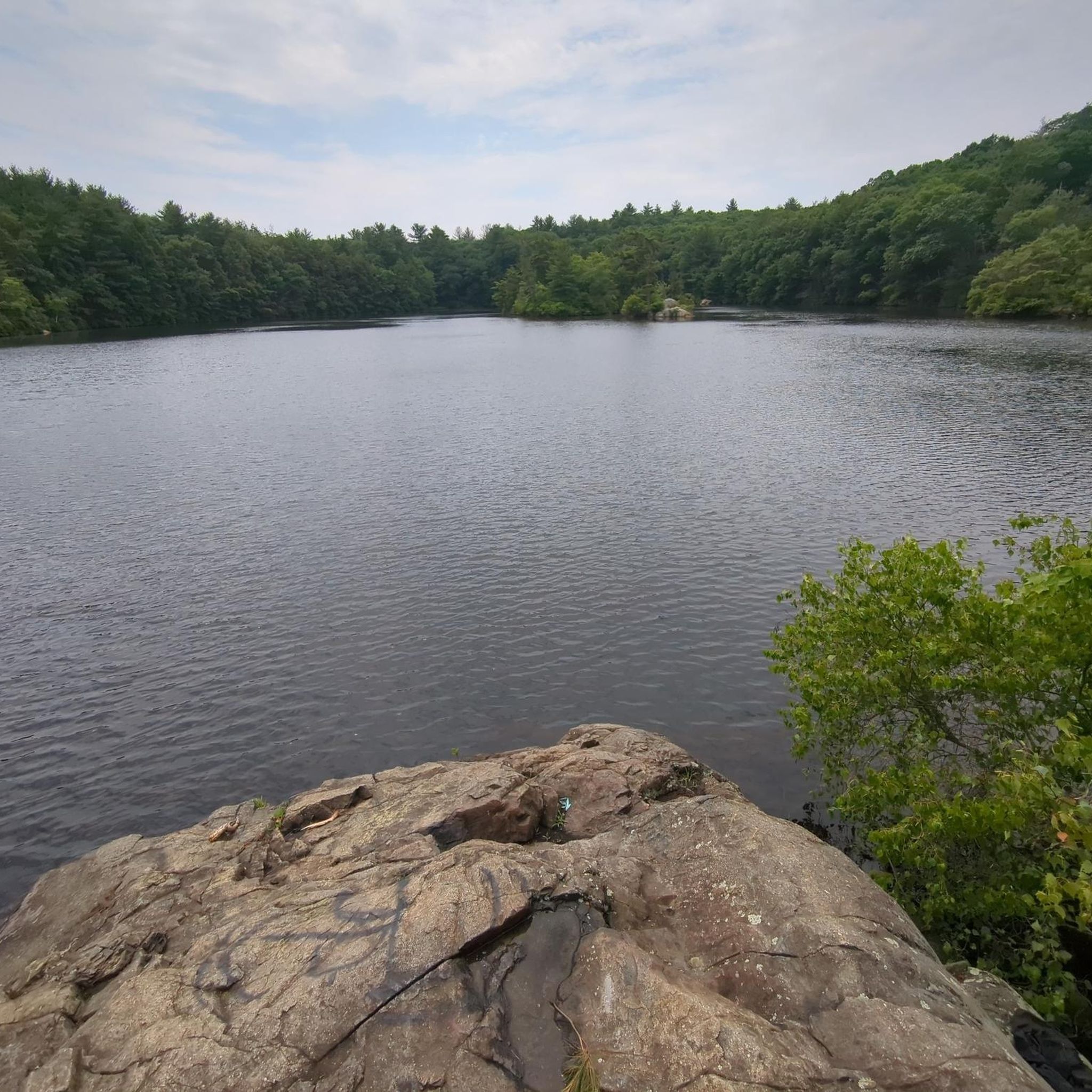
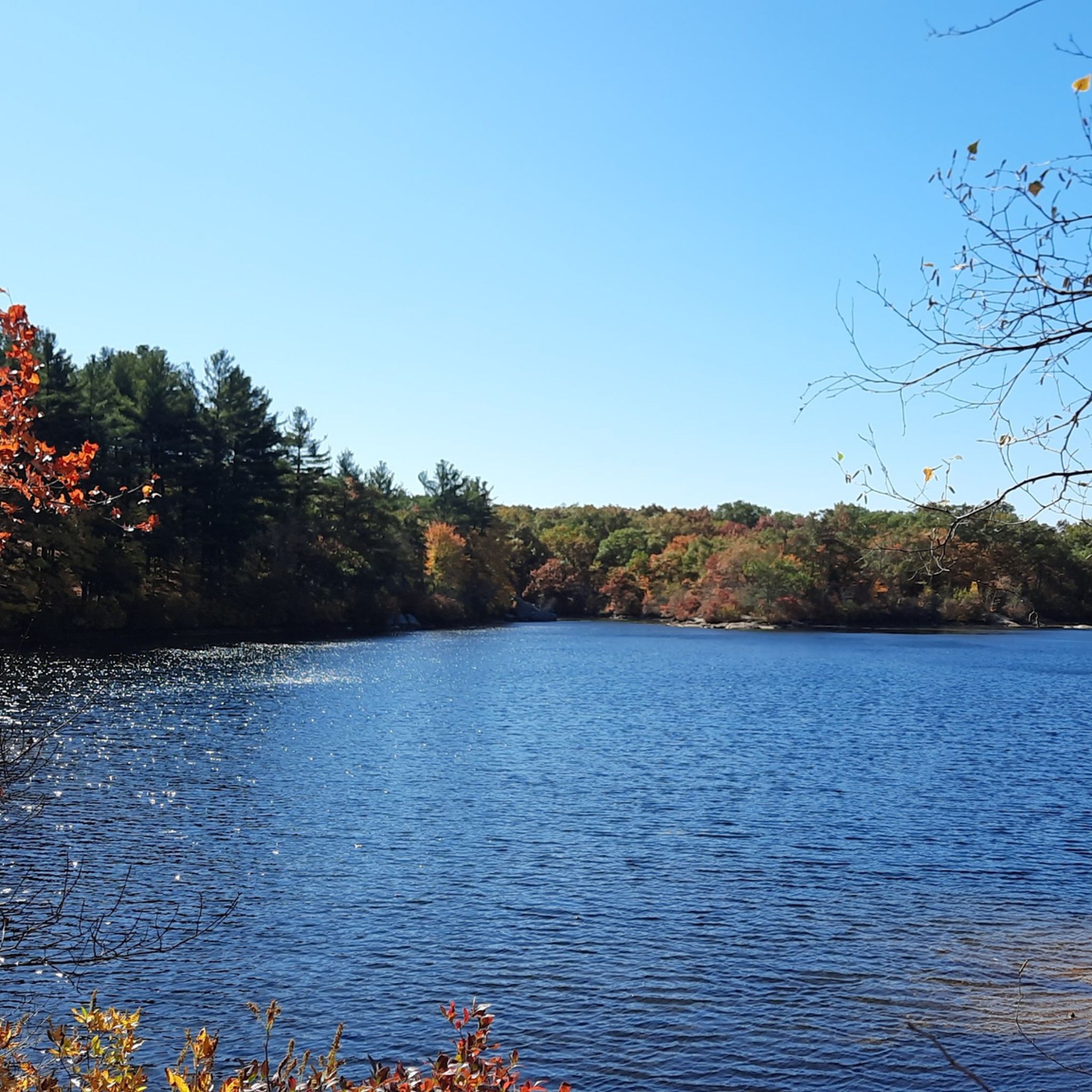
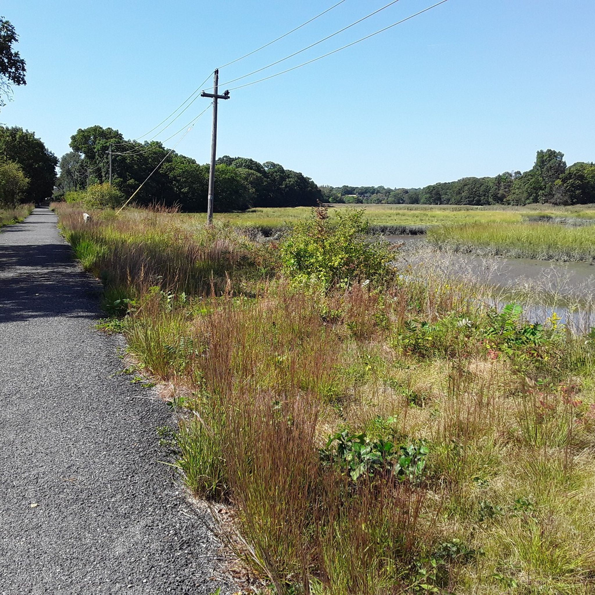
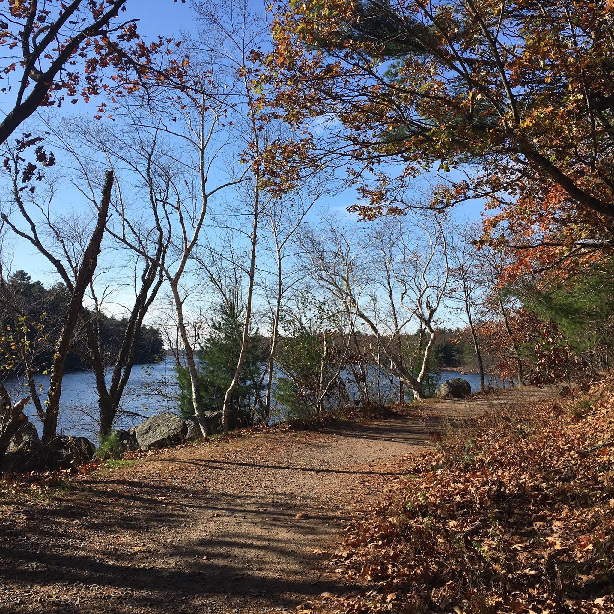

Tips from the Community


Lorraine Park Campground is the campground in Harold Parker State Park. The campground has tent camping spots, restrooms, and potable water. It is advisable to make a reservation in advance.
0
0

Lake Quannapowitt is a large, shallow lake at the north end of the town of Wakefield. It covers 254 acres and is about 3.6 miles around. This lake is emptied by the Saugus River.
0
0

Good technical single track trails. Bring a GPS of some sort with you.
0
0
Ponds, swamps, rolling hills, and rocky outcroppings can be found in this state forest, which features more than 35 miles of roads and trails as well as remnants of 18th-century farming and milling operations.
0
0

Chain Bridge is the first bridge built over the Merrimack River, connecting Deer Island, a small island located in the middle of the river. The bridge has been open to travel since 1792, was rebuilt as a suspension bridge in 1810, and has been maintained as a toll bridge since 1828.
2
0
Bates Bridge spans the Merrimack River, connecting the neighborhood of Groveland. This large bridge links well-connected areas of Haverhill, traversing both urban zones and parks with river views, making it a good route for a smooth ride around the city.
0
0

Maudslay State Park features 19th-century gardens, rolling meadows, towering pines, and one of the largest naturally occurring stands of mountain laurel in the state. It’s an ideal spot for walking, biking, or picnicking - the trails, however, within the park are mostly for hiking. The park also features educational programs during the summer months. It is open from sunrise to sunset, with daily year-round.
0
0
Frequently Asked Questions
How many road cycling routes are available around Wakefield?
There are over 180 road cycling routes around Wakefield, offering a wide variety of options for different skill levels and preferences. The komoot community has explored these routes over 1,500 times.
What types of terrain can I expect on road cycling routes in Wakefield?
Road cycling around Wakefield is characterized by scenic lake loops and varied terrain. You'll find paths ranging from gentle, flat sections to routes with moderate elevation changes, allowing for diverse riding experiences.
Are there any easy road cycling routes suitable for beginners or families in Wakefield?
Yes, Wakefield offers several easy road cycling routes. A popular choice is the Harts Hill – Lake Quannapowitt loop from Greenwood, an easy 20.6-mile (33.1 km) path that provides a scenic ride around Lake Quannapowitt with gentle elevation changes. Another easy option is the Berry Pond – Skug River Reservation loop from Wakefield.
What are some longer road cycling routes around Wakefield?
For a longer ride, consider the Lake Quannapowitt – Pond Pasture at Baldpate Pond loop from Melrose Highlands. This route spans 53.2 miles (85.6 km) and takes approximately 3 hours 28 minutes to complete, connecting multiple natural water bodies with moderate difficulty.
Can I find circular road cycling routes in Wakefield?
Many of the road cycling routes in Wakefield are designed as loops, providing convenient circular journeys. Examples include the Field Pond – Berry Pond loop from Wakefield, which is 24.2 miles (39.0 km), and the shorter Lake Quannapowitt loop from Wakefield, at 17.8 miles (28.7 km).
What natural attractions can I see along the road cycling routes in Wakefield?
The routes often feature beautiful natural areas. You can cycle past various lakes such as Lake Quannapowitt, Spy Pond, and North Reservoir. These natural water bodies are central to many of the scenic loops in the area.
Are there any interesting landmarks or points of interest near the cycling routes?
Beyond the natural beauty, you might encounter landmarks like the Stone Tower. Some routes also pass by the Border to Boston Trail - Trailhead, offering connections to other regional pathways.
What do other road cyclists enjoy most about road cycling in Wakefield?
The komoot community highly rates the road cycling experience in Wakefield, with an average score of 4.5 stars from over 65 reviews. Cyclists often praise the varied terrain, the scenic lake loops, and the network of routes that cater to different ability levels.
What is the best time of year for road biking in Wakefield?
While specific seasonal recommendations aren't detailed, the diverse landscapes and lake-centric routes suggest that spring, summer, and fall would offer pleasant conditions for road cycling, with vibrant foliage in autumn and lush greenery in warmer months.
Are there routes with moderate difficulty for more experienced cyclists?
Yes, many routes in Wakefield offer moderate difficulty. The Lake Quannapowitt – Pond Pasture at Baldpate Pond loop from Melrose Highlands is a prime example, providing a good challenge with its length and elevation changes.
Are there any routes that connect to other trails or areas?
Some routes, like those passing near the Border to Boston Trail - Trailhead, can offer connections to a broader network of trails, allowing for extended rides and exploration beyond the immediate Wakefield area.
Most popular attractions around Wakefield

Get inspired with the komoot mobile app


Explore more
Browse the best Road cycling routes in other regions.
