The best cycling routes around Saugus
4.4
(201)
1,842
riders
87
rides
Touring cycling around Saugus, Massachusetts, features diverse landscapes including scenic wetlands, expansive reservations, and accessible multi-use trails. The area is characterized by mostly flat terrain, particularly along former railroad lines, making it suitable for various fitness levels. The Saugus River and Rumney Marsh Reservation provide picturesque natural settings for cycling. Breakheart Reservation offers more varied terrain with some elevation changes for those seeking a greater challenge.
Best touring cycling routes around Saugus
- The most popular touring cycling route is Saugus…
Last updated: October 2, 2026
4.8
(4)
19
riders
38.9km
02:15
150m
150m
Moderate bike ride. Good fitness required. Mostly paved surfaces. Suitable for all skill levels.
4.6
(5)
18
riders
73.8km
04:19
320m
320m
Moderate bike ride. Good fitness required. Mostly paved surfaces. Suitable for all skill levels.

11
riders
58.2km
03:22
210m
210m
Moderate bike ride. Good fitness required. Mostly paved surfaces. Suitable for all skill levels.
5.0
(1)
16
riders
15.4km
00:54
20m
20m
Easy bike ride. Great for any fitness level. Mostly paved surfaces. Suitable for all skill levels.
5.0
(1)
12
riders
Easy bike ride. Great for any fitness level. Mostly paved surfaces. Suitable for all skill levels.
Get access to more routes and recommendations from other explorers.
Already have an account?
Our route recommendations are based on thousands of hikes, rides, and runs completed by other people on komoot.
Start today with a free account
Your next adventure awaits.

Tips from the Community

The rail trail is longer than just this highlight shows but the highlight is probably the best part. Due to the unique geography of trying to get a train to Marblehead and Salem this former rail right of way goes in, then backs out of downtown Marblehead in two branches. The southern branch has a small section in Swampscott and mainly goes through suburbs. A small section abuts conservation land and recently (August 2025) 650 feet was paved. The northern section is mostly in conservation land. Almost the entire route is dirt and often in very tough shape. For as wealthy as Marblehead is they don't show it off on this trail. It's in really unusually bad shape compared to other trails around the state
0
0

Fort dating back to 1644 that is open for exploring outside as well as a few of the interior rooms. Great view of Marblehead Harbor, the Marblehead Light, and Gerry Island.
0
0

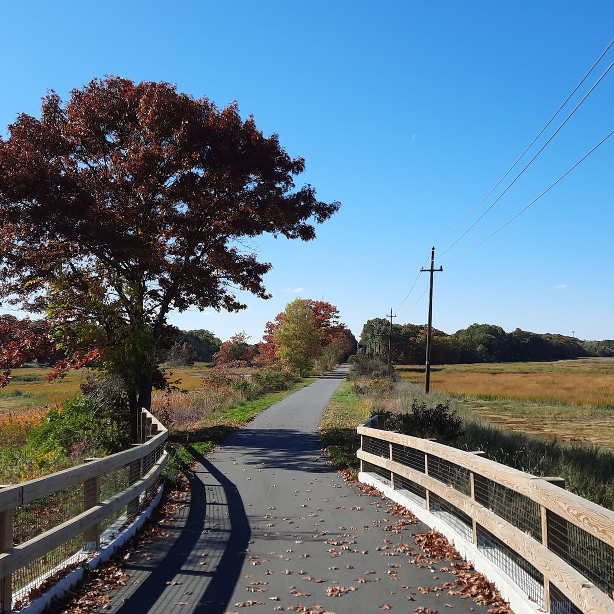
This bridge is a fairly new structure, having been put in place in 2021. This crossing is crucial because the trail follows an old railroad line, and the bridge takes the place of the former train bridge.
0
0
There is no non-residential parking on the island. So, special treat for the bicyclists.
0
0


Lynn Beach is quite expansive and encircles much of Nahant Bay leading out to the Atlantic. A paved trail runs along the length of the beach, and you can spend a lot of time riding right next to the water.
0
0

Castle Rock Park spans 1.2 acres of coastal landscape and is named after a nearby castle-like private home. From the granite ledges, there are great Atlantic views. This park is a popular spot for photography, storm watching, and observing sailing races. Take the steps on the left side of the rock down to the tide pools.
1
0
Frequently Asked Questions
How many touring cycling routes are available in Saugus?
Saugus offers a wide selection of touring cycling routes, with over 85 routes available for exploration. These routes cater to various preferences, including 52 easy rides and 33 moderate options, ensuring there's something for every skill level.
What types of terrain can I expect on touring cycling routes in Saugus?
Touring cycling in Saugus features diverse terrain. You'll find many routes along former railroad lines, such as the Northern Strand Community Trail, which are mostly flat and paved. For those seeking more varied terrain, areas like Breakheart Reservation offer trails with some elevation changes, providing a moderate challenge.
Are there any family-friendly touring cycling routes in Saugus?
Yes, Saugus has several family-friendly options, particularly along its multi-use trails. The Northern Strand Community Trail is an excellent choice, offering a mostly flat and paved surface suitable for all ages. Routes like the Gateway Park loop from Bryant Terrace Apartments are also generally easy and enjoyable for families.
What natural features and scenic viewpoints can I see while cycling in Saugus?
Saugus's touring cycling routes are rich with natural beauty. You can enjoy picturesque views of wetlands and river scenery along the Saugus River Reservation – Rumney Marsh Reservation loop from Wyoming Hill. The Rumney Marsh Reservation itself is an expansive coastal wetland offering unique ecosystems. Breakheart Reservation also provides stunning views and two picturesque lakes.
Are there any loop trails for touring cyclists in Saugus?
Yes, Saugus offers several convenient loop trails for touring cyclists. Popular options include the Saugus River Reservation – Rumney Marsh Reservation loop from Wyoming Hill, which connects two significant natural areas, and the Paul Revere Park – Bunker Hill Monument loop from Wyoming Hill, which extends into urban areas with historical landmarks.
What historical landmarks or attractions can I visit along touring routes?
Many touring routes in and around Saugus offer access to historical sites. The Paul Revere Park – Bunker Hill Monument loop from Wyoming Hill, for instance, takes you past significant landmarks like the Bunker Hill Monument. Other nearby attractions include the Old State House and Boston Massacre Site and the Old South Meeting House.
How can I access touring cycling trails in Saugus using public transport?
Many of Saugus's cycling trails, particularly the Northern Strand Community Trail, are designed for accessibility. While specific public transport connections vary, the trail connects Saugus with several communities like Everett, Malden, Revere, and Lynn, which often have public transport options. Planning your route with local transit maps is recommended to find the most convenient access points.
Where can I park my car when cycling in Saugus?
Parking availability for Saugus's cycling trails can vary by trailhead. For trails like the Northern Strand Community Trail, look for designated parking areas in the communities it passes through, such as Saugus, Revere, or Lynn. Reservations like Breakheart and Rumney Marsh typically have their own parking facilities for visitors.
What do other touring cyclists enjoy most about cycling in Saugus?
The touring cycling routes in Saugus are highly rated by the komoot community, with an average score of 4.4 stars from over 170 reviews. Cyclists often praise the diverse landscapes, from scenic wetlands to accessible multi-use trails, and the variety of options for different ability levels, from easy, flat rides to routes with moderate elevation changes.
Are there any long-distance touring cycling routes that connect Saugus to other areas?
Yes, Saugus is part of a larger cycling network. The Northern Strand Community Trail, which runs through Saugus, is a segment of the East Coast Greenway. This ambitious project aims to create a nearly 3,000-mile trail system from Maine to Florida, offering opportunities for significantly longer touring rides that connect Saugus to numerous other communities and regions.
What is the best time of year to go touring cycling in Saugus?
The best time for touring cycling in Saugus is typically during the spring, summer, and fall months. Spring offers pleasant temperatures and blooming scenery, while summer is ideal for longer days. Fall provides beautiful foliage and cooler, comfortable riding conditions. Winters can be cold and snowy, making cycling less appealing on many trails.
Are there any coastal or waterfront touring routes in Saugus?
While Saugus itself is not directly on the ocean, its proximity to the coast means you can find routes that offer waterfront views. The Lewis Cove – Forty Steps Beach loop from Lynn Heritage State Park, for example, provides coastal scenery and beach access. The Saugus River Reservation and Rumney Marsh Reservation also offer scenic wetland and riverfront cycling experiences.
Most popular attractions around Saugus

Get inspired with the komoot mobile app


Explore more
Browse the best Cycling routes in other regions.
