The best road cycling routes around Bridgewater
4.7
(9)
281
riders
61
rides
Road cycling routes around Bridgewater offer a diverse range of terrain, from flat canal paths to routes with rolling hills. The region features scenic landscapes, including woodlands, rivers, and open fields, providing varied backdrops for rides. Many areas around Bridgewater are characterized by well-maintained parks and a network of roads suitable for cycling. This blend of natural scenery and varied elevation caters to different fitness levels and preferences.
Best road cycling routes around Bridgewater
- The most popular road cycling route…
Last updated: August 11, 2026
5
riders
38.5km
01:33
150m
150m
Easy road ride. Great for any fitness level. Mostly well-paved surfaces and easy to ride.
3
riders
67.6km
02:46
290m
290m
Moderate road ride. Good fitness required. Mostly well-paved surfaces and easy to ride.

Sign up for free
4.0
(1)
1
riders
94.9km
04:01
370m
370m
Moderate road ride. Good fitness required. Mostly well-paved surfaces and easy to ride.
5.0
(3)
73
riders
238km
10:14
1,320m
1,320m
Hard road ride. Very good fitness required. Some segments of this route may be unpaved and difficult to ride.
32
riders
205km
08:50
1,180m
1,180m
Hard road ride. Very good fitness required. Some segments of this route may be unpaved and difficult to ride.
Get access to more routes and recommendations from other explorers.
Sign up for free
Already have an account?
Our route recommendations are based on thousands of hikes, rides, and runs completed by other people on komoot.
Start today with a free account
Your next adventure awaits.
Login or Signup


Tips from the Community

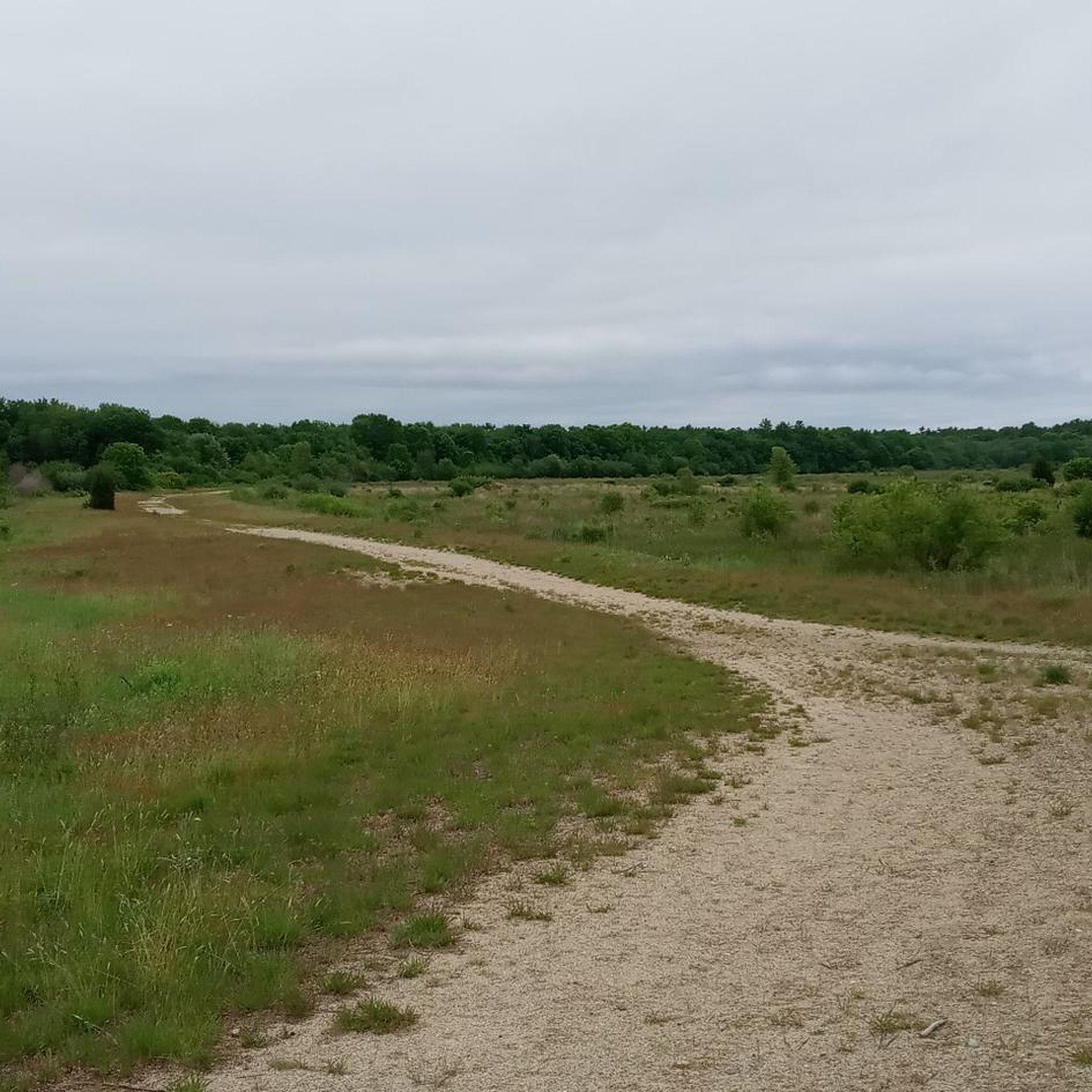
Rocky Pond is one of several ponds in Myles Standish State Forest. This is a great pond for a break during a ride, as you can access it from Bare Hill Road.
1
0

Myles Standish State Forest is covering over 12,400 acres, and is one of the state’s largest and most important protected areas. It is home to many rare habitats and species, including the globally rare Pine Barrens ecosystem, sensitive frost pocket habitats, scores of coastal plain kettle ponds, and 42 rare and endangered plants and animals.
0
0

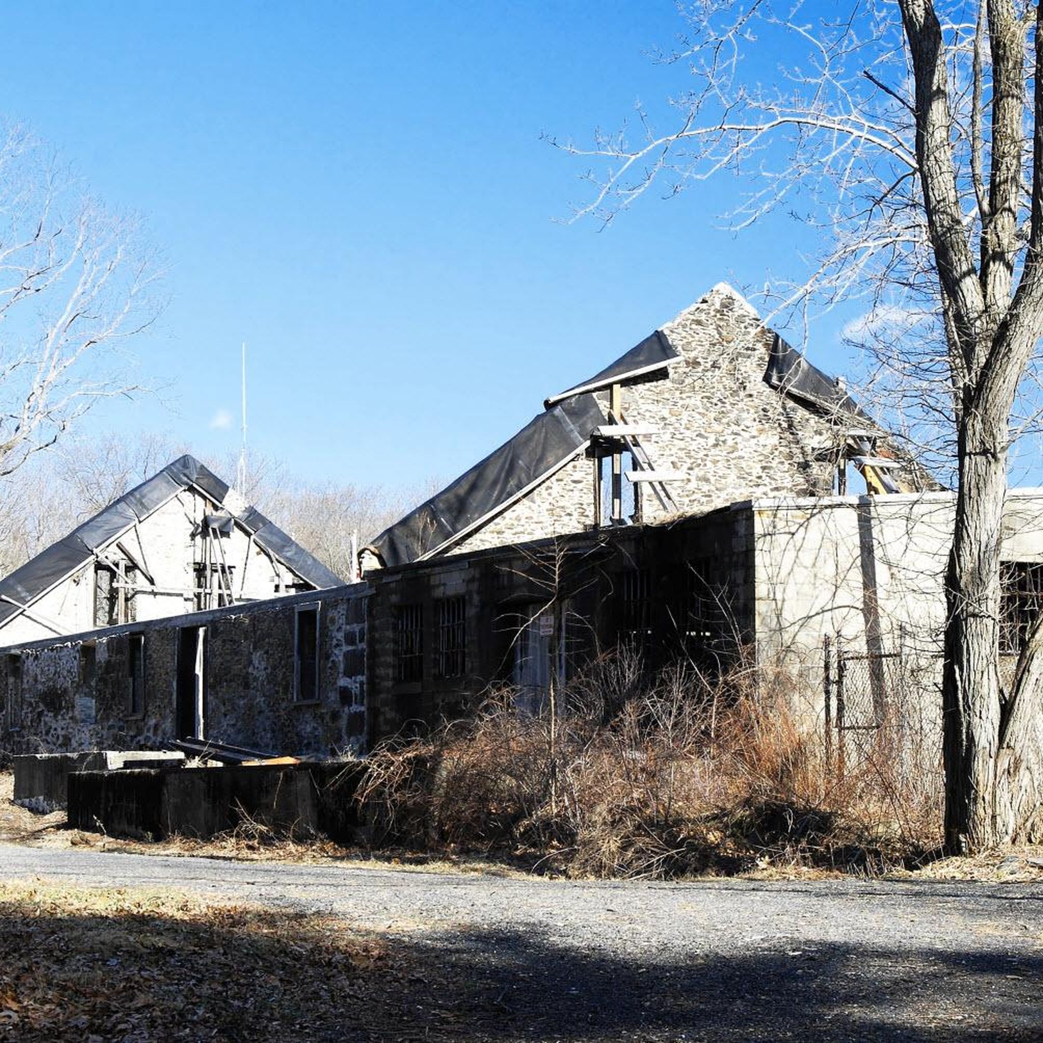
This 107-acre sanctuary, located adjacent to Bristol Blake State Reservation, features a one-mile trail that circles Stony Brook Pond and ends up at the site of a former mill, where there is a beautiful waterfall. A long boardwalk along the trail allows visitors to observe birds and wildlife, including turtles, ducks, blue herons, and the wetland habitat over Teal Marsh and Kingfisher Pond. The refuge also features natural history exhibits, a picnic area, and a butterfly garden
0
0

The view of North River from the bridge is expansive and beautiful with many boats and bird species to see.
0
0
This 107-acre sanctuary, located adjacent to Bristol Blake State Reservation, features a one-mile trail that circles Stony Brook Pond and ends up at the site of a former mill, where there is a beautiful waterfall. A long boardwalk along the trail allows visitors to observe birds and wildlife, including turtles, ducks, blue herons, and the wetland habitat over Teal Marsh and Kingfisher Pond. The refuge also features natural history exhibits, a picnic area, and a butterfly garden.
0
0
New Long Pond, a 23-acre pond within Myles Standish State Forest in Plymouth, Massachusetts, lies northeast of East Head Reservoir and southwest of College Pond and Three Cornered Pond. Its water quality is compromised by the presence of non-native aquatic plants. With the road running right next to the pond, you get the chance to take a good look of it whilst cycling past.
0
0

Wompatuck State Park is a little paradise for outdoor lovers. The mountain bike trail network is extremely varied. Beginners and intermediate riders have plenty of trail options. If you plan an extended stay, you can reserve a campsite within the park here: reserveamerica.com/explore/wompatuck-state-park/MA/32628/overview
0
0

Lower Sampson Pond sits adjacent to the much larger Sampson Pond. A small brook runs between the two. Unlike its large cousin, Lower Sampson Pond gets limited water flow and is a lot more still. The result is a pond covered in lily pads and particularly appreciated by birds, dragonflies and other insects.
0
0
Frequently Asked Questions
How many road cycling routes are available around Bridgewater?
Bridgewater offers a wide selection of road cycling routes, with over 50 options available. These routes cater to various preferences, from shorter, easier rides to more challenging, longer distances.
What kind of terrain can I expect on road cycling routes in Bridgewater?
Road cycling routes around Bridgewater feature diverse terrain. You'll find everything from relatively flat canal paths, such as those along the Bridgewater Canal, to routes with rolling hills through farmlands and wooded areas. The region's natural scenery includes rivers, woodlands, and open fields, providing varied backdrops for your rides.
Are there road cycling routes for all skill levels in Bridgewater?
Yes, Bridgewater provides road cycling routes suitable for all skill levels. Approximately 20 routes are classified as easy, 32 as moderate, and 4 as difficult, ensuring options for beginners, intermediate riders, and experienced cyclists seeking a challenge.
What natural features or landmarks can I see while road cycling around Bridgewater?
Many routes offer scenic views of natural features. You can cycle past Massasoit State Park, enjoy views of Middle Pond, or explore areas near Burrage Pond Wildlife Management Area. The region is also characterized by picturesque rivers and woodlands, offering a beautiful natural backdrop for your ride.
Is there convenient parking available near road cycling routes in Bridgewater?
Many areas around Bridgewater feature well-maintained parks, which often provide parking facilities. For specific routes, it's advisable to check the route details on komoot for information on starting points and potential parking options.
What do other road cyclists enjoy the most about road cycling in Bridgewater?
The komoot community highly rates road cycling in Bridgewater, with an average score of 4.5 stars from over 7 reviews. Cyclists often praise the varied terrain, scenic riverfronts, and woodlands, as well as the network of roads that cater to different ability levels.
Are there any family-friendly road cycling routes in Bridgewater?
While specific family-friendly routes are not explicitly detailed, the presence of easy-grade routes and flat canal paths, as mentioned in the region's characteristics, suggests there are suitable options for families. These routes often provide a safer and more relaxed cycling experience.
What are some challenging long-distance road cycling options in Bridgewater?
For experienced cyclists seeking a challenge, the Claybrook Road – Charles River Dam and Weir loop from Bridgewater is a notable option. This difficult 145.4-mile (233.9 km) trail leads through diverse landscapes and typically takes around 10 hours to complete.
Can I find circular road cycling routes in Bridgewater?
Yes, many of the road cycling routes around Bridgewater are designed as loops, allowing you to start and finish at the same point. Examples include the Massasoit State Park & Lakeville loop via Assawompset Pond and the Middleborough to Snipatuit Pond loop via Lakeville.
Are there any moderate-difficulty road cycling routes for intermediate riders?
Absolutely. A popular moderate route is the Middleborough to Snipatuit Pond loop via Lakeville, which covers 42.0 miles (67.6 km) and traverses varied terrain with scenic landscapes. Another option is the Holmes Knoll – Town Forest loop from Bridgewater, a 55.7 km route.
What is the best time of year for road cycling in Bridgewater?
The region offers beautiful seasonal views, with autumn being particularly vibrant. While specific recommendations depend on personal preference, spring and fall generally provide pleasant temperatures and scenic beauty for road cycling. Some areas, like the Bridgewater Canal, offer year-round cycling opportunities on their towpaths.
Are there any road cycling routes that pass by lakes or ponds?
Yes, several routes offer views of local water bodies. For instance, the Massasoit State Park & Lakeville loop via Assawompset Pond provides scenic views of Assawompset Pond. You might also encounter Lake Rico or Middle Pond on other routes.
Most popular routes around Bridgewater
Most popular attractions around Bridgewater

Get inspired with the komoot mobile app


Explore more
Browse the best Road cycling routes in other regions.
