The best road cycling routes around Wheaton
4.3
(116)
4,103
riders
118
rides
Road cycling around Wheaton, Illinois, is characterized by an extensive network of trails, including significant rail-to-trail conversions. The region features diverse landscapes, from residential areas to natural preserves with forests, meadows, and wetlands. While many trails are crushed limestone, some sections are paved, accommodating road bikes with thicker tires.
Best road cycling routes around Wheaton
- The most popular road cycling route is Anacostia Riverwalk Trail – Rock Creek Trail loop from Wheaton, a 39.0 miles (62.8 km) trail that…
Last updated: November 6, 2026
4.4
(8)
129
riders
Moderate road ride. Good fitness required. Mostly well-paved surfaces and easy to ride.
54
riders
45.6km
01:49
190m
190m
Easy road ride. Mostly well-paved surfaces and easy to ride.

41
riders
19.6km
00:48
120m
110m
Easy road ride. Mostly well-paved surfaces and easy to ride.
4.5
(8)
352
riders
73.2km
03:11
470m
470m
Moderate road ride. Good fitness required. Some segments of this route may be unpaved and difficult to ride.
22
riders
20.6km
00:50
100m
100m
Easy road ride. Mostly well-paved surfaces and easy to ride.
Get access to more routes and recommendations from other explorers.
Already have an account?
Our route recommendations are based on thousands of hikes, rides, and runs completed by other people on komoot.
Start today with a free account
Your next adventure awaits.


Tips from the Community

You should not miss this if you are visiting or living in the area
0
0

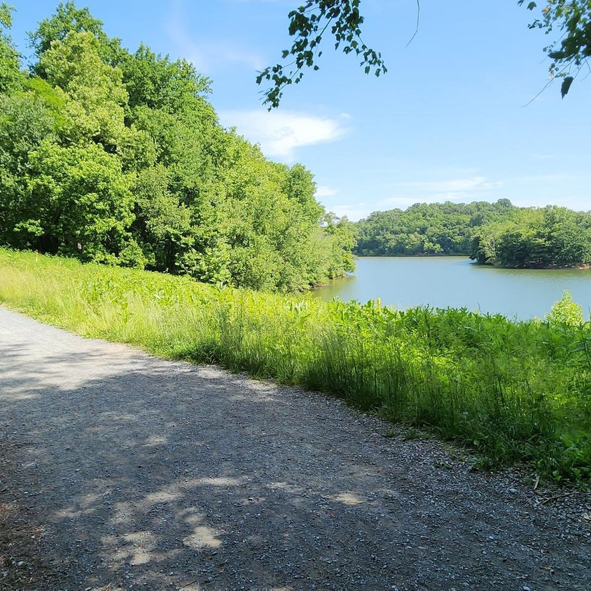
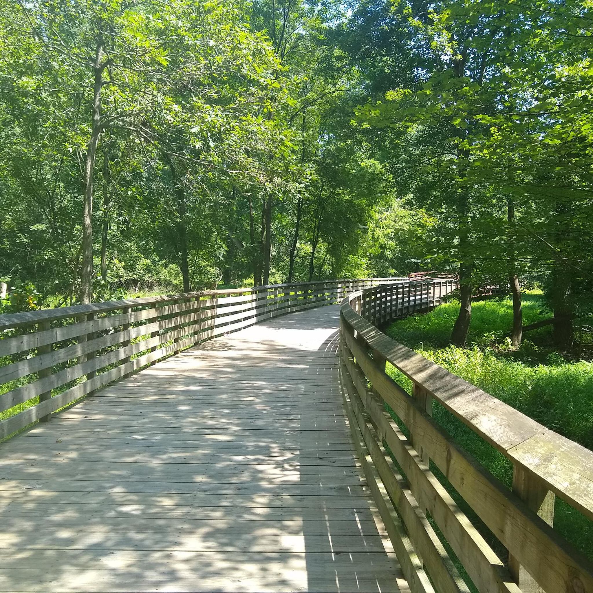
Sligo Creek Trail is a 10.2-mile paved, multi-use path that meanders alongside Sligo Creek through Montgomery and Prince George’s counties in Maryland. Stretching from Wheaton Regional Park to the Northwest Branch Trail in Hyattsville, the trail offers a scenic and accessible route for walking, jogging, biking, and rollerblading. The trail is predominantly flat and shaded, making it suitable for users of all ages and abilities.
0
0
Sligo Creek Trail is a 10.2-mile paved, multi-use path that meanders alongside Sligo Creek through Montgomery and Prince George’s counties in Maryland. Stretching from Wheaton Regional Park to the Northwest Branch Trail in Hyattsville, the trail offers a scenic and accessible route for walking, jogging, biking, and rollerblading. The trail is predominantly flat and shaded, making it suitable for users of all ages and abilities.
1
0

The Sligo Creek Golf Course offers nine holes, a putting green, a driving range, a snack bar, and a pro shop and is open to the public. It's a nice place to stop, get a snack, drink, and take a break from riding in this beautiful setting.
0
0
Once a working gristmill in the 1800s, Pierce Mill offers a glimpse into early Washington industry amid the woodland calm of Rock Creek Park. Today, its restored stone walls and waterwheel stand as a quiet counterpoint to the city just beyond the trees.
0
0

The Sligo Creek Trail is a paved multi-use path with numerous parking and access points all through town. You can connect to a bunch of other bike paths including the Rachel Carson Greenway.
1
0
The Capital Crescent Trail follows the north shoreline of the Potomac river downstream into Washington, D.C. Currently the trail is around 7 miles long, but there is an extension planned for the near future.
0
1

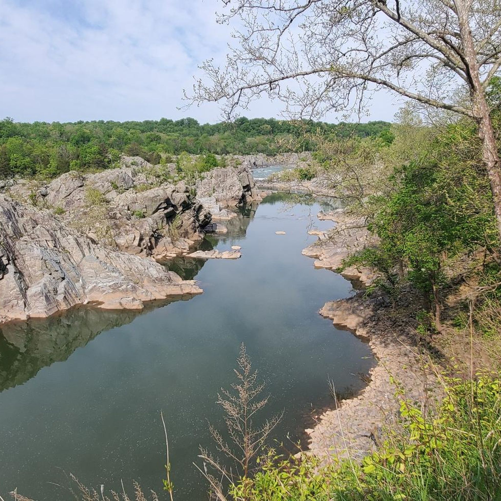
Along this section of the Mount Vernon Trail you have views across the Potomac and can see the Washington Monument rising above its surroundings.
0
0
Frequently Asked Questions
How many road cycling routes are available around Wheaton?
Wheaton offers an extensive network for road cyclists, with over 135 routes available. These routes cater to various skill levels, including 53 easy, 73 moderate, and 9 difficult options.
What types of road cycling trails can I expect in Wheaton?
The region is known for its diverse trail networks, including significant rail-to-trail conversions like the Illinois Prairie Path and the Great Western Trail. While many sections are crushed limestone, some are paved with concrete or asphalt, making them suitable for road bikes, especially those with thicker tires. You'll find routes through residential areas, natural preserves, forests, meadows, and wetlands.
Where can I find parking for road cycling routes in Wheaton?
Parking is generally available at various access points along the major trail systems. For instance, the Illinois Prairie Path has multiple access points throughout DuPage County, and forest preserves like Herrick Lake and Blackwell also offer parking facilities for trail users. It's advisable to check specific trailhead information for the most convenient parking.
Is it possible to access road cycling routes in Wheaton using public transport?
Wheaton's bike route network is designed to facilitate movement to various destinations, including parks and shopping areas. While specific public transport connections to trailheads might vary, the interconnected nature of the trails and the town's focus on cycling infrastructure suggest accessibility. For detailed public transport options, local transit authority websites would be the best resource.
Do I need any permits to cycle on trails around Wheaton?
Generally, permits are not required for cycling on the public trails and paths in and around Wheaton, including the Illinois Prairie Path and the Great Western Trail. However, it's always a good idea to check with specific forest preserve districts if you plan to use their facilities extensively, though cycling on designated trails is typically free.
What is the best season for road cycling in Wheaton, and are trails open in winter?
The best seasons for road cycling in Wheaton are typically spring, summer, and fall, when the weather is mild and the natural scenery is vibrant. Many trails remain open in winter, offering opportunities for snowshoeing or cross-country skiing in some areas, but cycling conditions can be challenging due to snow and ice. Always check local conditions before heading out in colder months.
Are there family-friendly road cycling routes in Wheaton?
Yes, Wheaton offers several family-friendly cycling options. Trails like the Illinois Prairie Path and the Great Western Trail provide long, relatively flat sections with minimal road crossings, making them suitable for families. Routes such as College Park Airport – Sligo Creek Trail loop from Wheaton are rated as easy and provide pleasant rides through green spaces.
Are dogs allowed on the road cycling trails in Wheaton?
Many of the multi-use trails and forest preserves in the Wheaton area, such as Herrick Lake Forest Preserve and Blackwell Forest Preserve, are dog-friendly. Typically, dogs must be kept on a leash. It's always recommended to check the specific rules of each trail or preserve before bringing your dog along.
Are there places to stop for food or refreshments along the road cycling routes?
Given Wheaton's central location and the connectivity of its trail networks, you'll find opportunities for food and refreshments. The Illinois Prairie Path, for example, passes through various towns and residential areas where cafes and shops are accessible. Exploring routes that lead through or near town centers will offer more options for food stops.
What can I see along the road cycling routes in Wheaton?
Road cycling routes in Wheaton offer a mix of natural beauty and local attractions. You can explore areas like Rock Creek Park, which features natural monuments and scenic landscapes. Other points of interest include Peirce Mill and the historic Boulder Bridge. The trails often wind through lush forests, meadows, and along waterways, providing opportunities for wildlife spotting.
Are there any challenging road cycling routes for experienced riders?
While many routes are easy to moderate, Wheaton also offers more challenging options. For instance, the Query Mill & Glen Road – Seneca Schoolhouse loop from Forest Glen is a longer route with significant elevation gain, providing a good test for experienced cyclists. Overall, 9 of the 135 routes are classified as difficult.
What do other road cyclists enjoy the most about road cycling in Wheaton?
The area is highly rated by the komoot community, with an average score of 4.4 stars from over 100 reviews. Cyclists often praise the extensive and interconnected trail networks, the diverse landscapes ranging from urban to natural preserves, and the variety of routes suitable for different skill levels. The presence of well-maintained rail-to-trail paths is also a frequently highlighted positive aspect.
Are there any loop road cycling routes in Wheaton?
Yes, many of the road cycling routes in Wheaton are designed as loops, offering convenient starting and ending points. Examples include the popular Anacostia Riverwalk Trail – Rock Creek Trail loop from Wheaton and the shorter Park Valley Road Bridge – Carroll Avenue Bridge loop from Wheaton. These loops allow cyclists to experience varied scenery without retracing their path.
Most popular attractions around Wheaton

Get inspired with the komoot mobile app


Explore more
Browse the best Road cycling routes in other regions.
