The best cycling routes around Sandy Hook
4.7
(19)
375
riders
13
rides
Touring cycling around Sandy Hook offers a unique experience on a 2,044-acre barrier beach peninsula. The area features extensive paved multi-use paths that wind through a holly forest and along salt marshes, providing diverse views. Terrain is largely flat with mild hills, making it accessible for various fitness levels. The peninsula includes miles of ocean and bayside beaches, maritime forest, and vegetated dune habitats.
Best touring cycling routes around Sandy Hook
- The most popular touring cycling route is Chesapeake and Ohio Canal Towpath, an easy 11.3 miles (18.2 km) trail that takes about 1 hour 25 minutes to complete. This route features minimal elevation gain, suitable for relaxed rides.
- Another top favourite among local touring cyclists is Shepherdstown – Antietam Aqueduct loop from Brunswick, a difficult 38.5 miles (61.9 km) path. This route includes varied terrain with more significant elevation changes, offering a challenging experience.
- Local touring cyclists also love the Catoctin Creek Aqueduct – Bald Eagle campsite loop from Brunswick, a 25.3 miles (40.7 km) trail leading through diverse landscapes, often completed in about 2 hours 55 minutes.
- Touring cycling around Sandy Hook is defined by paved multi-use paths, ocean and bayside beaches, and maritime forests. The network offers options for different ability levels, from easy, flat rides to more challenging routes.
- The routes in Sandy Hook are highly rated by the komoot community with an average score of 5.0 stars from over 19 reviews. More than 400 touring cyclists have used komoot to explore Sandy Hook's varied terrain.
Last updated: August 8, 2026
4.8
(4)
63
riders
18.2km
01:26
30m
30m
Easy bike ride. Great for any fitness level. Mostly paved surfaces. Suitable for all skill levels.
5.0
(4)
76
riders
Moderate bike ride. Good fitness required. Mostly paved surfaces. Suitable for all skill levels.

Sign up for free
5.0
(6)
57
riders
101km
08:27
380m
380m
Hard bike ride. Very good fitness required. Mostly paved surfaces. Suitable for all skill levels.
3.0
(1)
34
riders
19.6km
01:13
40m
40m
Easy bike ride. Great for any fitness level. Mostly paved surfaces. Suitable for all skill levels.
5.0
(1)
31
riders
26.8km
02:07
50m
50m
Moderate bike ride. Good fitness required. Mostly paved surfaces. Suitable for all skill levels.
Get access to more routes and recommendations from other explorers.
Sign up for free
Already have an account?
Our route recommendations are based on thousands of hikes, rides, and runs completed by other people on komoot.
Start today with a free account
Your next adventure awaits.
Login or Signup
Tips from the Community

One of my favorite rides! The trail is well maintained and smooth. So many spots to rest and take breathtaking pics
1
0

28 Sept 2025: staircase closed as they rebuild it
0
0

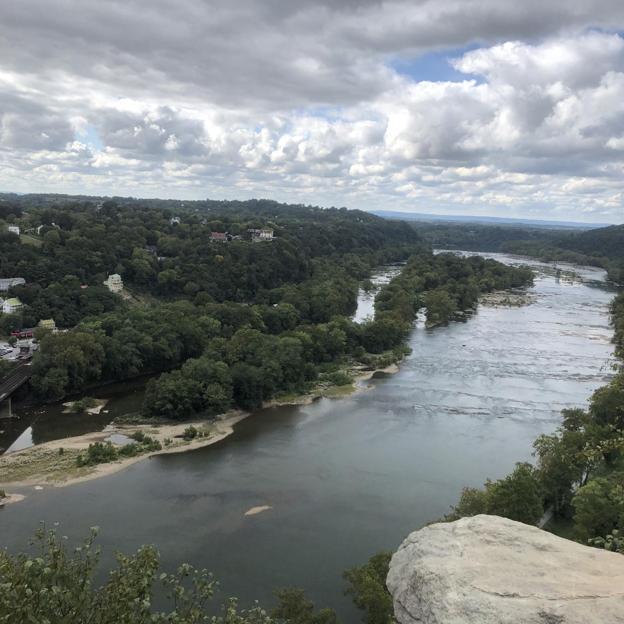
A paved elevated boardwalk stretches out along the water, giving you a fantastic view of the Potomac River. This spot can get pretty popular on summer weekends.
0
0
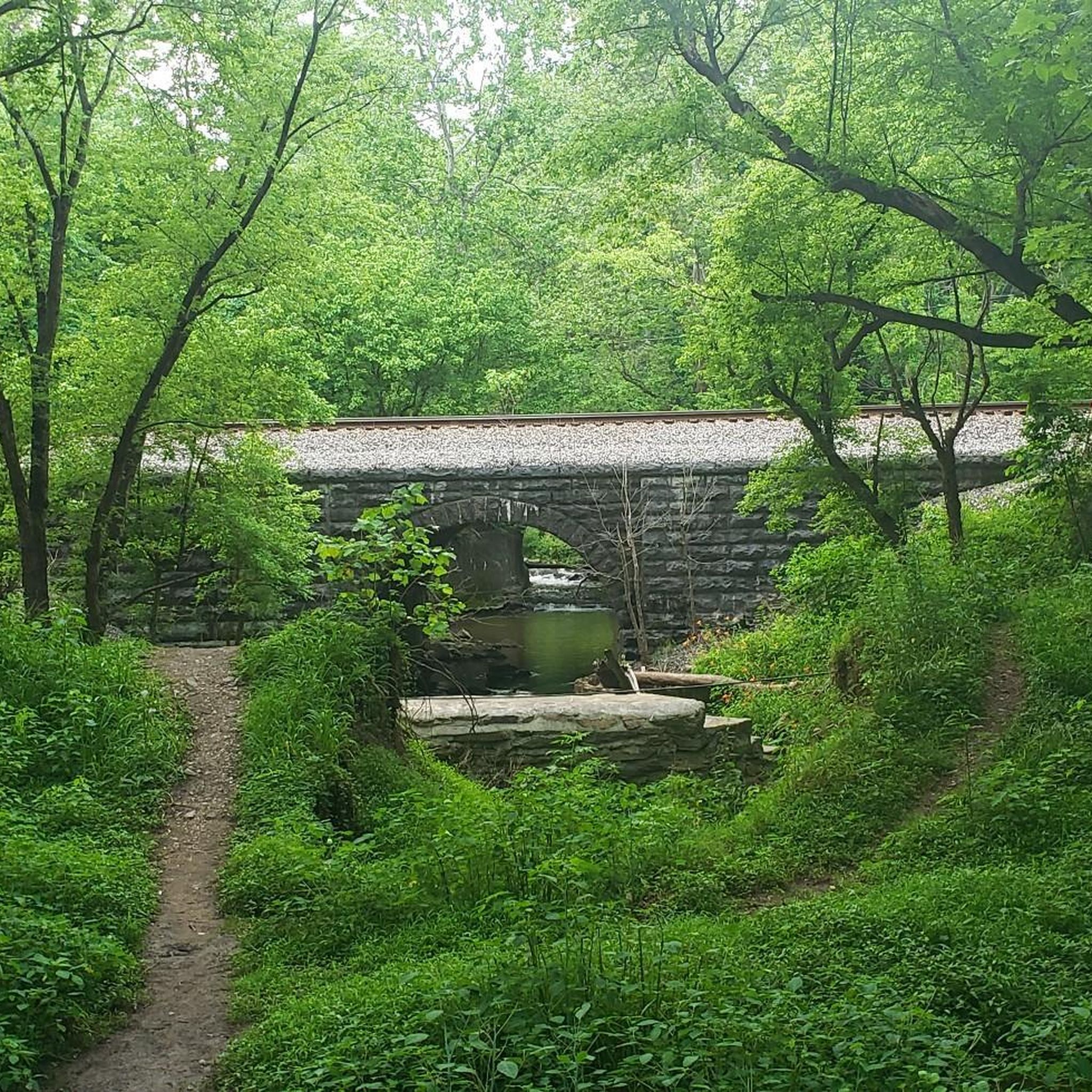
The Antietam Aqueduct was built in 1834 to carry canal boats over Antietam Creek. It is over 140 feet long and is one of many such aqueducts along the C&O Canal.
0
0

The Antietam Aqueduct, located at mile 69.4 of the C&O Canal Towpath, is a three-arch stone aqueduct that once carried the canal over Antietam Creek. Built in 1834, it is constructed from limestone quarried nearby and remains one of the best-preserved aqueducts along the canal. During the Civil War, it was near the site of Confederate troop movements before and after the Battle of Antietam in 1862. Though it suffered some damage over the years, it has been fully restored and now serves as a scenic and historic stop along the towpath, offering great river views and picnic spots.
0
0

steep entrance on east end. there is a better entrance on the west end after the site. The train tracks are visible from the trail. it can get noisy.
0
0
Unique coffee shop, café and bakery. Excellent food and drinks. check online for their hours.
0
0
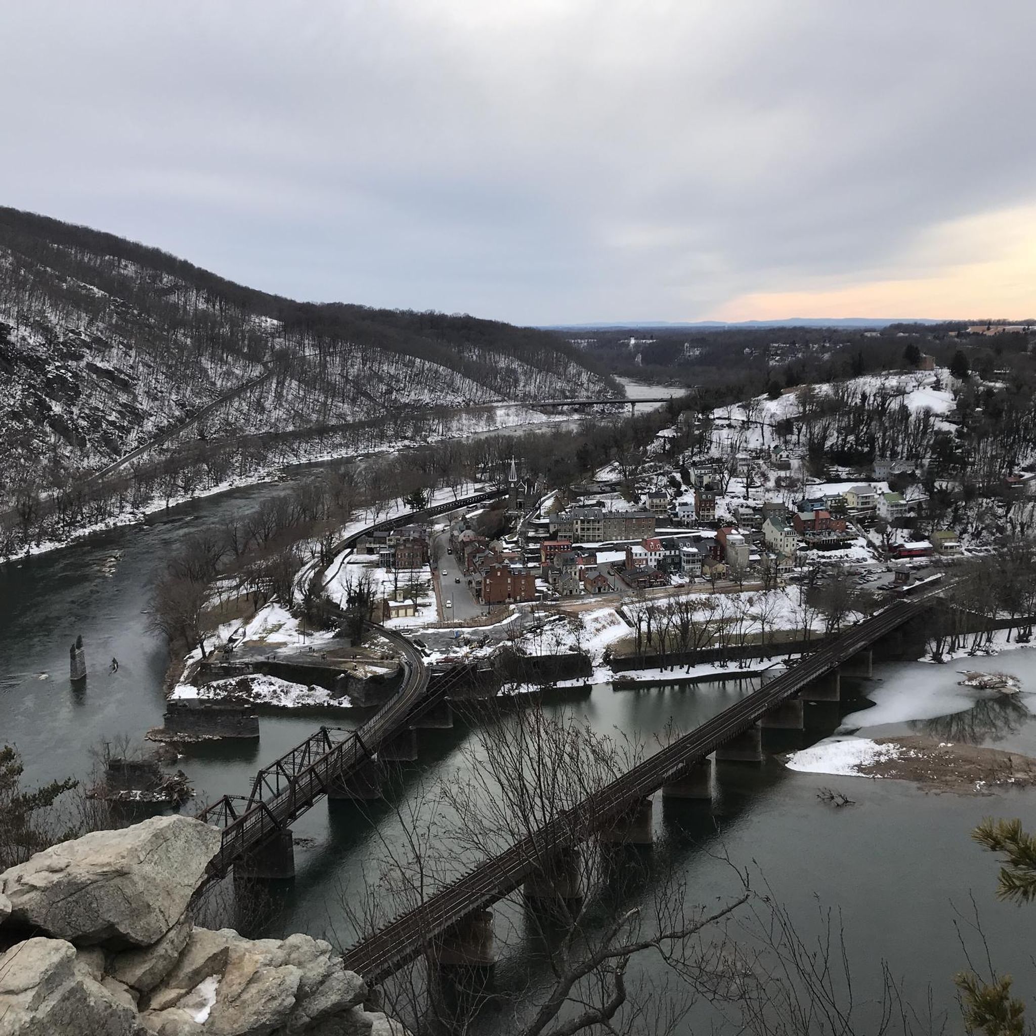
to get from trail to Harper's Ferry, you have to go up these stairs. There are bike racks at the base, or you carry your bike up with you
0
0
Frequently Asked Questions
How many touring cycling routes are available in Sandy Hook?
There are over 15 touring cycling routes available in Sandy Hook, offering a variety of experiences for different skill levels.
What is the typical terrain like for touring cycling in Sandy Hook?
The terrain in Sandy Hook is largely flat with mild hills, making it enjoyable for various fitness levels. You'll find extensive paved multi-use paths that wind through unique landscapes like a holly forest and along salt marshes, offering diverse views of both the bay and ocean beaches.
What are the difficulty levels of touring cycling routes in Sandy Hook?
Sandy Hook offers a range of difficulty levels. There are 7 easy routes, 4 moderate routes, and 5 difficult routes, ensuring options for beginners and experienced cyclists alike. For an easy ride, consider the Chesapeake and Ohio Canal Towpath.
Are there any loop trails for touring cyclists in Sandy Hook?
Yes, Sandy Hook features several loop trails. For a challenging experience, try the Shepherdstown – Antietam Aqueduct loop from Brunswick, which covers 38.5 miles. A moderate option is the Catoctin Creek Aqueduct – Bald Eagle campsite loop from Brunswick, spanning 25.3 miles.
What historical landmarks can I see along the cycling routes in Sandy Hook?
Cycling paths in Sandy Hook provide easy access to significant historical sites. You can visit the Sandy Hook Lighthouse, the oldest operating lighthouse in the United States, and explore Fort Hancock, a National Historic Landmark with military artifacts and batteries.
What natural features can I expect to see while cycling in Sandy Hook?
Sandy Hook is rich in natural beauty. Cyclists can enjoy miles of ocean and bayside beaches, extensive salt and freshwater marshes, and a spectacular holly forest. The area also features vegetated dune habitats and tidal mudflats, making it a haven for nature enthusiasts.
Is Sandy Hook a good place for birdwatching while cycling?
Absolutely. Sandy Hook is recognized as a Natural Heritage Priority Site and is a critical stopover for over 300 species of birds during migration, including endangered species. Excellent birdwatching spots along or near cycling paths include Plum Island, Spermaceti Cove boardwalk, Horseshoe Cove Salt Marsh, and the fields at Fort Hancock.
Are there family-friendly cycling routes in Sandy Hook?
Yes, the largely flat and paved multi-use paths make Sandy Hook ideal for family cycling. The main path from the park entrance to Fort Hancock is approximately 6 to 9 miles and minimizes interaction with vehicle traffic, providing a safe and scenic experience for all ages. An easy route like the Chesapeake and Ohio Canal Towpath is a great option.
What do other touring cyclists enjoy most about Sandy Hook?
The touring cycling routes in Sandy Hook are highly rated by the komoot community, with an average score of 5.0 stars from over 19 reviews. Cyclists frequently praise the scenic views of both the bay and ocean, the well-maintained paved paths, and the unique natural and historical attractions accessible along the way.
When is the best time to go touring cycling in Sandy Hook?
The trails in Sandy Hook are accessible year-round. However, the summer tourist season offers additional amenities like bike rentals near the Fort Hancock ferry dock. Spring and fall provide pleasant temperatures and vibrant natural scenery, while winter can offer a quieter experience, though weather conditions should always be checked.
Are there any challenging routes for experienced touring cyclists?
Yes, for experienced touring cyclists seeking a challenge, Sandy Hook offers difficult routes. The Big Slackwater – Big Slackwater View loop from Dargan is a demanding 115.1 km (71.5 miles) route with significant elevation changes, providing a rigorous and rewarding experience.
Can I rent a bike at Sandy Hook?
During the summer tourist season, bike rentals are available near the Fort Hancock ferry dock, making it convenient for visitors who don't bring their own bikes to explore the peninsula's cycling paths.
Most popular attractions around Sandy Hook

Get inspired with the komoot mobile app


Explore more
Browse the best Cycling routes in other regions.
