The best walks and hikes around Kingsville
4.8
(24)
369
hikers
13
hikes
Hiking trails around Kingsville, Maryland, are primarily located within Gunpowder Falls State Park, a large area characterized by dense woodlands and riverside paths. The terrain features rolling hills with relatively low elevation gain, making it accessible for various skill levels. This region offers diverse forest scenery and river views along the Little Gunpowder Falls River.
Best hiking trails around Kingsville
- The most popular hiking route is Jerusalem Mill & Jericho Covered Bridge from Kingsville Park via Franklintown Area — Gunpowder…
Last updated: July 21, 2026
1
hikers
2.34km
00:36
10m
10m
The Mount Vista Park Loop offers a delightful, easy hike through a blend of grassland and forest, providing a serene escape into nature. You'll discover lush greenery and panoramic viewpoints…
13.3km
03:32
130m
130m
The Little Gunpowder Trail from Harford Road to Jerusalem Mill offers a delightful journey through varied landscapes within Gunpowder Falls State Park. You'll follow the serene Little Gunpowder River, traverse…

Sign up for free
7.60km
02:00
60m
70m
Hike the Lost Pond and Sawmill Trail, a moderate 4.7-mile route in Gunpowder Falls State Park, featuring river views and historical remnants
4.4
(7)
28
hikers
6.65km
01:48
90m
90m
The Sweathouse Area Loop offers a delightful journey through varied forest types, including pleasant pine plantations and diverse hardwood forests. You'll enjoy continuous scenic riverside views as the trail skirts…
4.0
(1)
20
hikers
5.98km
01:37
80m
80m
Jesse's Trail Loop offers a delightful escape into the heavily forested landscape of Gunpowder Falls State Park. You'll wind along singletrack paths, navigating sections that can be rocky, root-filled, and…
Get access to more routes and recommendations from other explorers.
Sign up for free
Already have an account?
Our route recommendations are based on thousands of hikes, rides, and runs completed by other people on komoot.
Start today with a free account
Your next adventure awaits.
Login or Signup


Tips from the Community

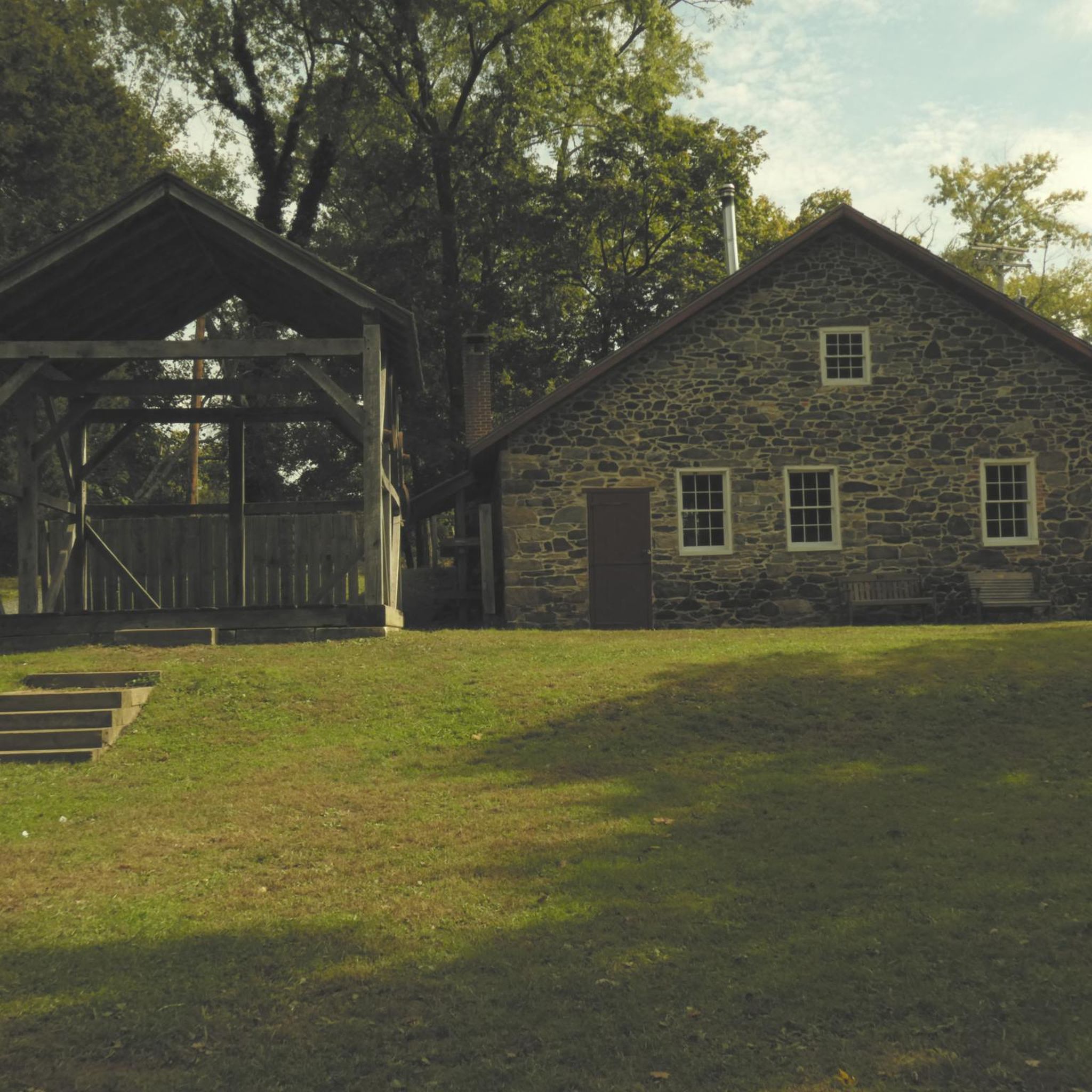
Jerusalem Mill Section is part of the vast Gunpowder Falls State Park. An endless network of trails will lead you to the discovery of this beautiful corner of Maryland.
0
0

As the Little Gunpowder Falls is divided into two parts at this spot, there is a very little island in the middle of the two river sections. After a very short distance, the two parts reunite again to continue flowing through the park.
0
0

There is ample parking at the trailhead and access to the trail system on both sides of the road. From here you can explore a network of peaceful singletrack trails that fork off of Little Gunpowder.
0
0
As the Little Gunpowder Falls is divided into two parts at this spot, there is a very little island in the middle of the two river sections. After a very short distance, the two parts reunite again to continue flowing through the State Park.
0
0
Sweathouse Area is one of many areas of Gunpowder Falls State Park. It contains multiple hiking trails (Sweathouse Trail, Stocksdale Trail, Wildlands Trail), that lead through the forest and along creeks. The area is quite easy to hike and you don't need any special experience.
0
0
Sweathouse Trail is one of the trails leading through the area of the same name in Gunpowder Falls State Park. The trail follows Big Gunpowder Falls through the woods for some time and runs along Sweathouse Branch later.
0
0
Jerusalem Mill Section is part of the vast Gunpowder Falls State Park. An endless network of trails will lead you to the discovery of this beautiful corner of Maryland.
0
0
Frequently Asked Questions
Are the trails around Kingsville suitable for beginners or families?
Yes, the area is very welcoming for beginners and families. Most of the trails in Gunpowder Falls State Park are rated as easy, featuring rolling hills with minimal elevation gain. A great option to start with is the Lost Pond & Sawmill Trails loop, which is a short and gentle walk through the woods.
Can I bring my dog on the trails in Gunpowder Falls State Park?
Yes, dogs are generally permitted on the trails in Gunpowder Falls State Park, but they must be kept on a leash at all times. It's also important to clean up after your pet to help keep the park beautiful for everyone.
What kind of scenery can I expect on hikes around Kingsville?
The hiking experience is defined by serene natural landscapes. You'll primarily walk through dense woodlands and along scenic paths that follow the Little Gunpowder Falls river. The terrain consists of gentle, rolling hills rather than steep climbs.
Are there any difficult hiking trails near Kingsville?
No, the trail network around Kingsville does not include any technically difficult or strenuous hikes. The routes are a mix of easy and moderate, making the area accessible to a wide range of fitness levels. The main challenges are the occasional rolling hills and the length of some of the longer routes.
How many hiking trails are there to choose from?
There are over 25 hiking routes to explore around Kingsville. The majority of these are easy trails, with a good selection of moderate options available as well, offering plenty of choice for a day out.
Are there any circular or loop hikes available?
Yes, many of the popular trails are loops, allowing you to start and end at the same point without retracing your steps. The Little Gunpowder & Jerusalem Mill Trails loop is a great example of a shorter circular walk.
What do other hikers think of the trails around Kingsville?
The trails are highly regarded by the komoot community. Reviewers often praise the peaceful woodland setting, the relaxing sounds of the river, and the well-maintained paths. The mix of nature and local history is a frequently mentioned highlight.
Are there any historical sites on the hiking trails?
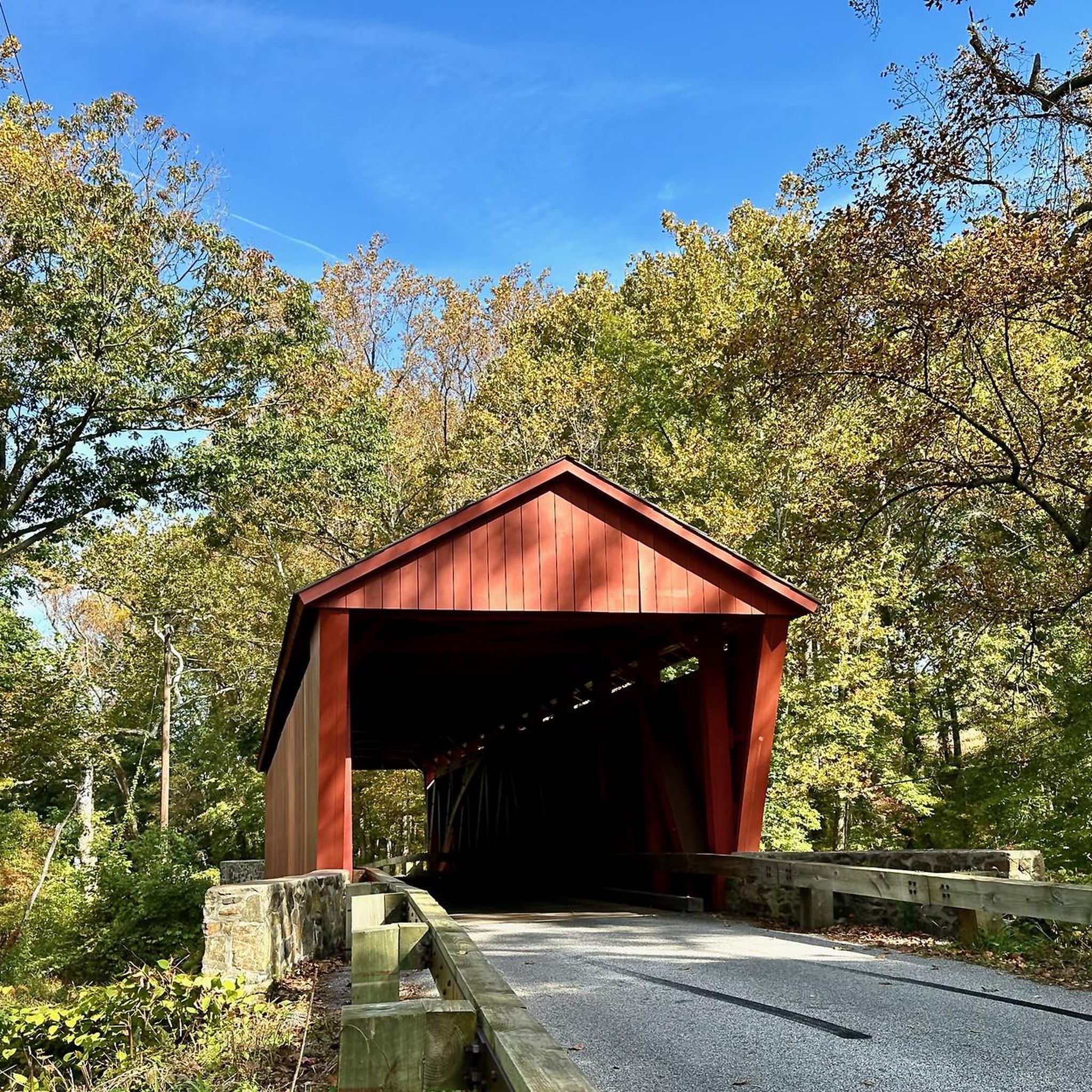
Absolutely. Several trails pass by significant historical landmarks. The area around Jerusalem Mill Village is particularly rich in history, featuring the restored Jerusalem Mill and the scenic Jericho Covered Bridge, one of the last of its kind in Maryland.
What is the best time of year to hike in the Kingsville area?
Hiking here is enjoyable year-round. Spring offers blooming wildflowers, summer provides a lush, shaded canopy, and autumn features spectacular fall foliage along the river. Winter hikes can be peaceful and crisp, but be prepared for potentially icy or muddy trail conditions.
Are there opportunities for bird watching?
Yes, the woodlands and riverside habitats of Gunpowder Falls State Park are excellent for bird watching. Keep an eye out for various songbirds, woodpeckers, and waterfowl along the Little Gunpowder Falls. The quieter sections of the trails offer the best chances to spot wildlife.
What should I pack for a day hike in Kingsville?
For a day hike, you should bring water, snacks, and wear sturdy walking shoes as some paths can be rocky or have tree roots. It's also wise to have insect repellent, especially in the warmer months, and to carry a map of your route, which you can access offline in the komoot app.
Most popular attractions around Kingsville

Get inspired with the komoot mobile app


Explore more
Browse the best Hikes in other regions.
