The best running trails around Columbia
4.6
(11)
693
runners
55
runs
Jogging around Columbia, South Carolina, offers diverse natural landscapes and extensive trail systems. The region is characterized by the convergence of the Saluda, Broad, and Congaree rivers, providing numerous riverfront greenways and parks. Extensive pine and hardwood forests, such as Harbison State Forest, offer varied terrain, while areas like Congaree National Park feature old-growth bottomland hardwood forests. These features create a range of running environments from flat, paved paths to more challenging forest trails.
Best jogging routes around Columbia
- The…
Last updated: October 1, 2026
51
runners
4.10km
00:26
20m
20m
Easy run. Great for any fitness level. Mostly paved surfaces. Suitable for all skill levels.
5.0
(1)
45
runners
9.91km
01:01
30m
30m
Moderate run. Good fitness required. Mostly paved surfaces. Suitable for all skill levels.

32
runners
19.6km
02:02
90m
90m
Hard run. Very good fitness required. Mostly paved surfaces. Suitable for all skill levels.
27
runners
4.76km
00:30
30m
30m
Easy run. Great for any fitness level. Mostly paved surfaces. Suitable for all skill levels.
30
runners
11.7km
01:13
40m
40m
Moderate run. Good fitness required. Mostly paved surfaces. Suitable for all skill levels.
Get access to more routes and recommendations from other explorers.
Already have an account?
Our route recommendations are based on thousands of hikes, rides, and runs completed by other people on komoot.
Start today with a free account
Your next adventure awaits.
Tips from the Community

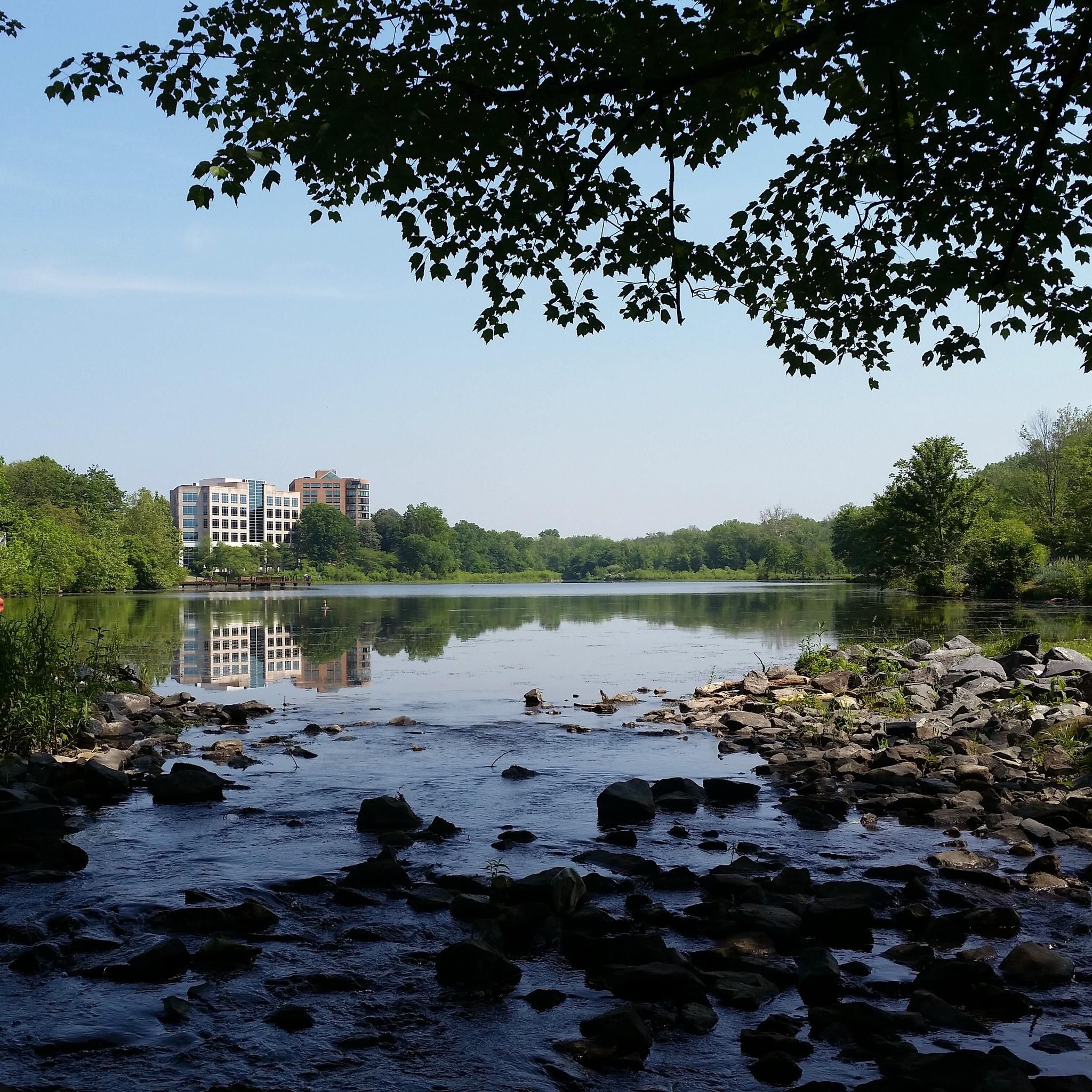
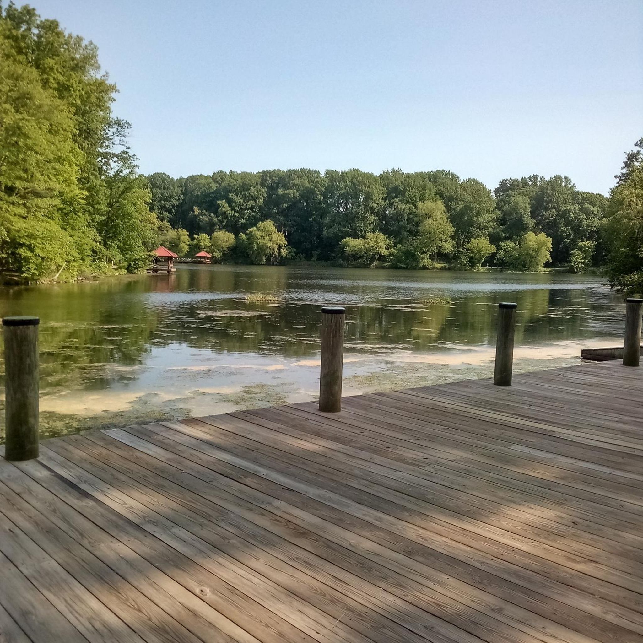
Lake Elkhorn is the third-largest lake in the county. It is surrounded by woodland and has several paved trails that run along the perimeter of the water.
0
0
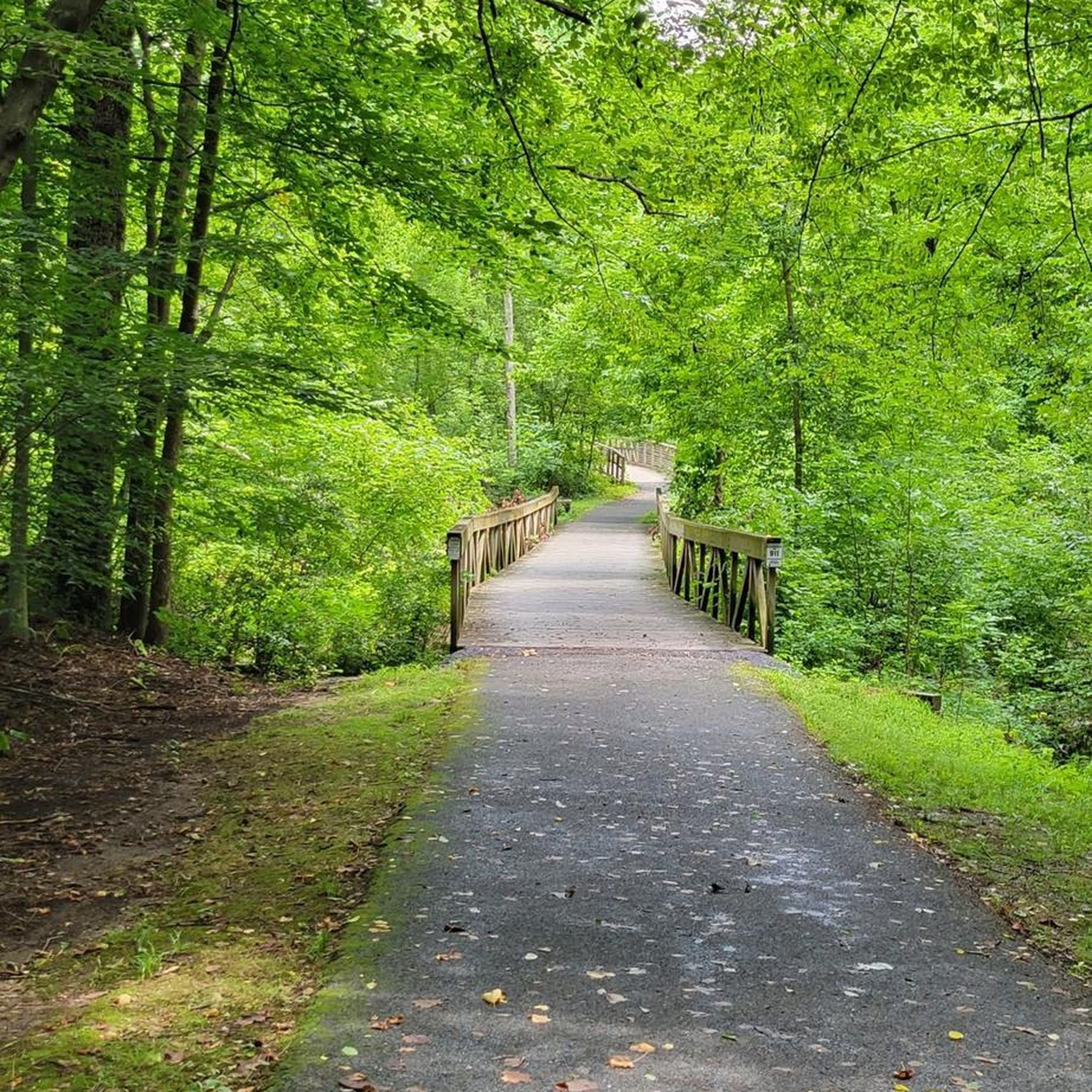
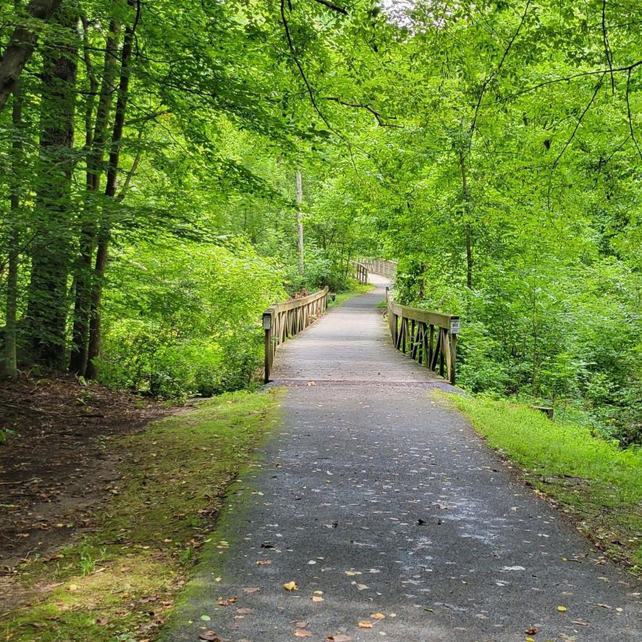
The Lake Elkhorn loop trail is a paved trail that circles the lake with the same name. It is an easy trail and traffic free, so it is a great place for a recovery ride.
0
0

The Patuxent Branch Trail is a multi-use, paved 10.4-mile trail that follows the Little Patuxent River.
0
0
The Patuxent Branch Trail is a multi-use, paved 10.4-mile trail that follows the Little Patuxent River.
0
0

The Patuxent Branch Trail is a multi-use paved path of 10.4 miles, that follows the Little Patuxent River, running all the way from Savage Park in the south to Lake Elkhorn in the north. The path offers a pleasant run alongside the river, and is shared with bike touring riders as well.
0
0
The Little Patuxent River is a 45-mile river that begins in Howard County and flows south to meet the Middle Patuxent River in Savage and then eventually meets the Patuxent River near Crofton.
0
0
Lake Elkhorn is a 37-acre reservoir and is Columbia, Maryland's largest lake. There is a paved two-mile path around the lake that was built in 1982.
1
0

At 37 acres in size, Lake Elkhorn is the 3rd largest lake in Columbia and features a number of paths and trails near its banks. The main loop around the water is completely paved, but there are a bunch of other trails and paths that intersect it, too.
0
0
Frequently Asked Questions
How many running routes are available in Columbia, South Carolina?
Columbia offers a wide variety of running experiences, with over 45 routes available on komoot. These range from easy strolls to challenging runs, ensuring there's something for every fitness level. You'll find 6 easy routes, 33 moderate routes, and 8 difficult routes to explore.
Are there any easy or beginner-friendly jogging paths in Columbia?
Yes, Columbia has several excellent options for beginners or those looking for an easy run. The Lake Elkhorn – Lake Elkhorn loop from Lake Elkhorn is an easy 2.8-mile (4.4 km) route. Additionally, the Lake Elkhorn area generally offers gentle terrain. The Three Rivers Greenway also features ADA-accessible and lighted paths, perfect for a relaxed jog.
What are some popular loop running routes in Columbia?
Many runners enjoy loop routes for their convenience. The Lake Elkhorn loop from Lake Elkhorn is a popular moderate 6.2-mile (9.9 km) option. For a shorter loop, consider the Running loop from Lake Elkhorn, which is 3.3 miles (5.3 km). The Three Rivers Greenway also offers a scenic 5.3-mile loop with river views.
Are there any dog-friendly jogging routes in Columbia?
Many of Columbia's outdoor spaces are dog-friendly, making it easy to bring your canine companion along. The extensive Three Rivers Greenway system, including sections like the Saluda Riverwalk, is generally welcoming to leashed dogs. Harbison State Forest also allows dogs on its trails. Always ensure your dog is on a leash and check specific park regulations before you go.
Which running trails are suitable for families with children?
For families, the Three Rivers Greenway offers ADA-accessible and lighted paths, providing a safe and enjoyable experience for all ages. The Saluda Riverwalk is another great choice with its shaded paths and minimal elevation gain. A short drive away, Congaree National Park features a popular 2.4-mile Boardwalk Loop that is perfect for families, winding over the swamp on an elevated path.
Where can I find trails with good parking facilities?
Most major parks and greenways in Columbia offer convenient parking. The Three Rivers Greenway, Saluda Riverwalk, Harbison State Forest, and Congaree National Park all have designated parking areas to access their trail systems. For specific details, it's always a good idea to check the park's official website or local government resources like Columbia Parks and Recreation.
What kind of natural landscapes can I expect to see while running in Columbia?
Columbia's running routes showcase a diverse range of natural beauty. You'll find extensive riverfront greenways along the Broad, Saluda, and Congaree rivers, offering scenic water views. Areas like Harbison State Forest feature dense pine and hardwood forests, while Congaree National Park boasts old-growth bottomland hardwood forests and unique swamp ecosystems. Many trails also pass through picturesque parks and meadows.
Are there any running routes that offer views of lakes or rivers?
Absolutely! Columbia is defined by its rivers and nearby lakes. The Three Rivers Greenway provides continuous river views along the Broad, Saluda, and Congaree. The Saluda Riverwalk offers scenic views towards the Millrace Rapids. You can also enjoy breathtaking views of Centennial Lake and Lake Kittamaqundi on routes like the View of Centennial Lake – Lake Kittamaqundi loop from Columbia. The Lake Murray Dam also offers stunning lake vistas.
What are some notable landmarks or attractions I might see along the running trails?
Beyond the natural beauty, you can encounter several interesting spots. Along the riverfront, you might see historic canal stonework in Granby Park or the historic Columbia Canal at Riverfront Park. In nearby areas, highlights include the Swinging Bridge and Patapsco Riverbank, or the Brighton Dam and Triadelphia Reservoir. Congaree National Park itself is a landmark, home to some of the tallest trees in Eastern North America.
What do other runners enjoy most about jogging in Columbia?
The running community highly rates Columbia's trails, with an average score of 5.0 stars from over 6 reviews on komoot. Runners often praise the diverse terrain, from flat paved paths to more challenging forest trails, and the beautiful riverfront greenways. The well-marked paths and accessibility for various fitness levels are also frequently highlighted.
Are there any longer, more challenging running routes for experienced runners?
Yes, for those seeking a greater challenge, Columbia offers several options. The Lake Elkhorn – Patuxent Branch Trail loop from Long Reach is a difficult 12.5-mile (20.1 km) route. Harbison State Forest provides over 31 miles of trails, with options ranging from easy to difficult, including a moderate 7.2-mile (11.5 km) jogging loop that can be extended for a longer run.
Can I find trails with varied terrain, including hills or forest paths?
Absolutely. While many riverfront paths are relatively flat, areas like Harbison State Forest offer extensive trails weaving through pine and hardwood landscapes, crossing streams and providing varied elevation. Congaree National Park also features 25 miles of marked trails through swamps and forests, offering a unique and diverse running experience beyond just paved surfaces.
Most popular routes around Columbia
Most popular attractions around Columbia

Get inspired with the komoot mobile app


Explore more
Browse the best Running Trails & Routes in other regions.
