The best road cycling routes around Cockeysville
4.0
(1)
138
riders
18
rides
Road cycling around Cockeysville, Maryland, features diverse landscapes, including the extensive Torrey C. Brown Rail Trail (NCR Trail) and the picturesque Loch Raven Reservoir. The region offers a mix of terrain, from the mostly flat crushed gravel surfaces of the NCR Trail to routes around the reservoir with varying elevation changes. Cyclists can explore routes that traverse river valleys, open countryside, and areas characterized by rolling hills and dense woodlands.
Best road cycling routes around Cockeysville
- The most popular road cycling route is Western Run Bridge – Prettyboy Reservoir loop from McCormick Road, a 43.0 miles (69.3 km) trail that takes 3 hours 24 minutes to complete. This route offers challenging climbs and scenic views around the Prettyboy Reservoir.
- Another top favourite among local road cyclists is Nice view of Bosley Church loop from McCormick Road, a moderate 25.9 miles (41.7 km) path. This route provides views of the local countryside and historic landmarks.
- Local road cyclists also love the Western Run Bridge – Prettyboy Reservoir loop from Gilroy Road, a 41.0 miles (66.0 km) trail leading through varied landscapes near the Prettyboy Reservoir, often completed in about 3 hours 21 minutes.
- Road cycling around Cockeysville is defined by rail trails like the NCR Trail, reservoir-side paths, and rolling hills. The network offers options for different ability levels, from moderate to difficult routes.
- The routes in Cockeysville are highly rated by the komoot community with an average score of 4.0 stars from over 1 review. More than 150 road cyclists have used komoot to explore Cockeysville's varied terrain.
Last updated: May 16, 2026
25
riders
69.3km
03:24
930m
930m
Hard road ride. Very good fitness required. Mostly well-paved surfaces and easy to ride.
4.0
(1)
23
riders
41.7km
01:53
440m
440m
Moderate road ride. Good fitness required. Mostly well-paved surfaces and easy to ride.

Sign up for free
8
riders
36.3km
01:41
380m
380m
Moderate road ride. Good fitness required. Mostly well-paved surfaces and easy to ride.
9
riders
108km
05:01
1,200m
1,200m
Hard road ride. Very good fitness required. Some segments of this route may be unpaved and difficult to ride.
8
riders
37.1km
01:47
460m
460m
Moderate road ride. Good fitness required. Mostly well-paved surfaces and easy to ride.
Get access to more routes and recommendations from other explorers.
Sign up for free
Already have an account?
Our route recommendations are based on thousands of hikes, rides, and runs completed by other people on komoot.
Start today with a free account
Your next adventure awaits.
Login or Signup
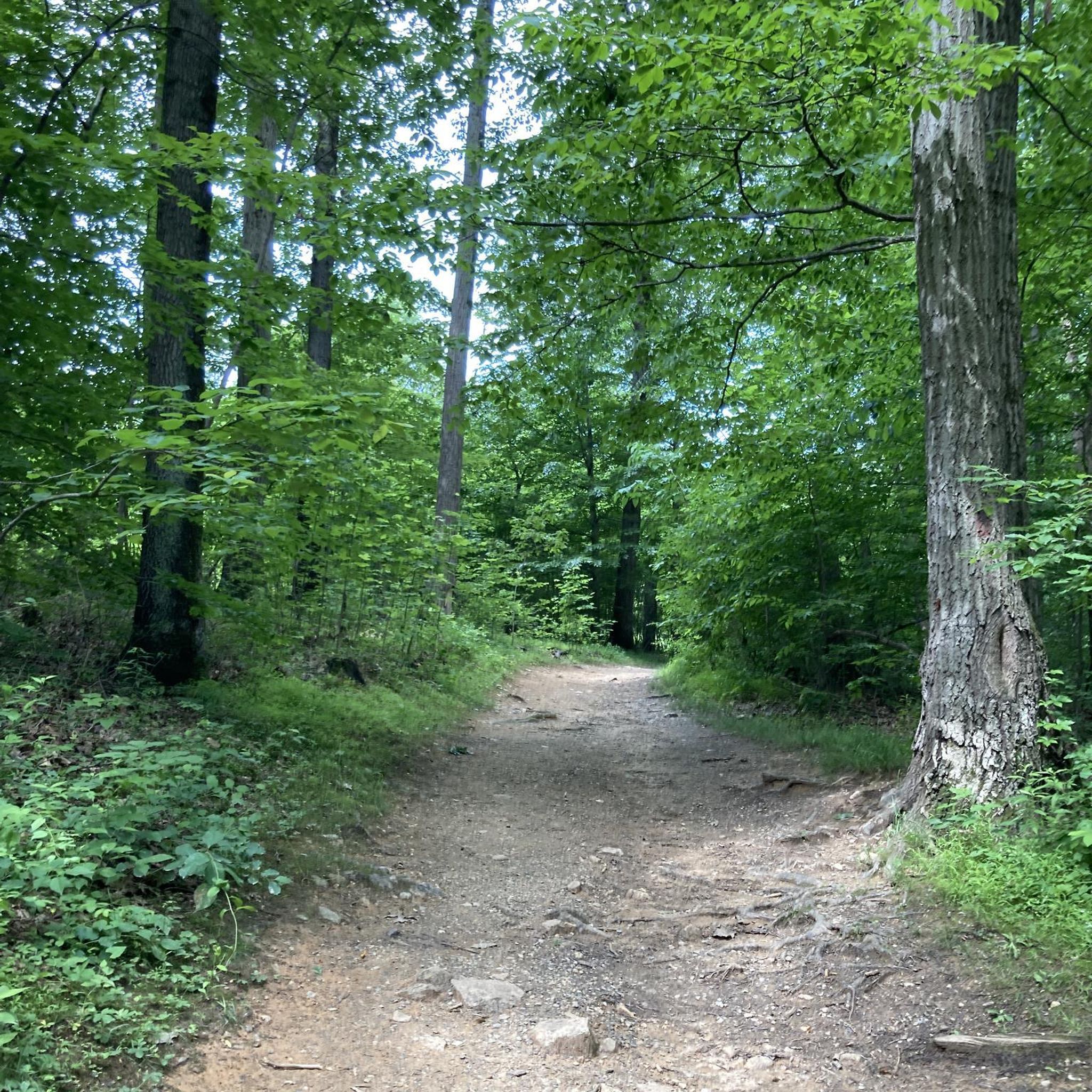
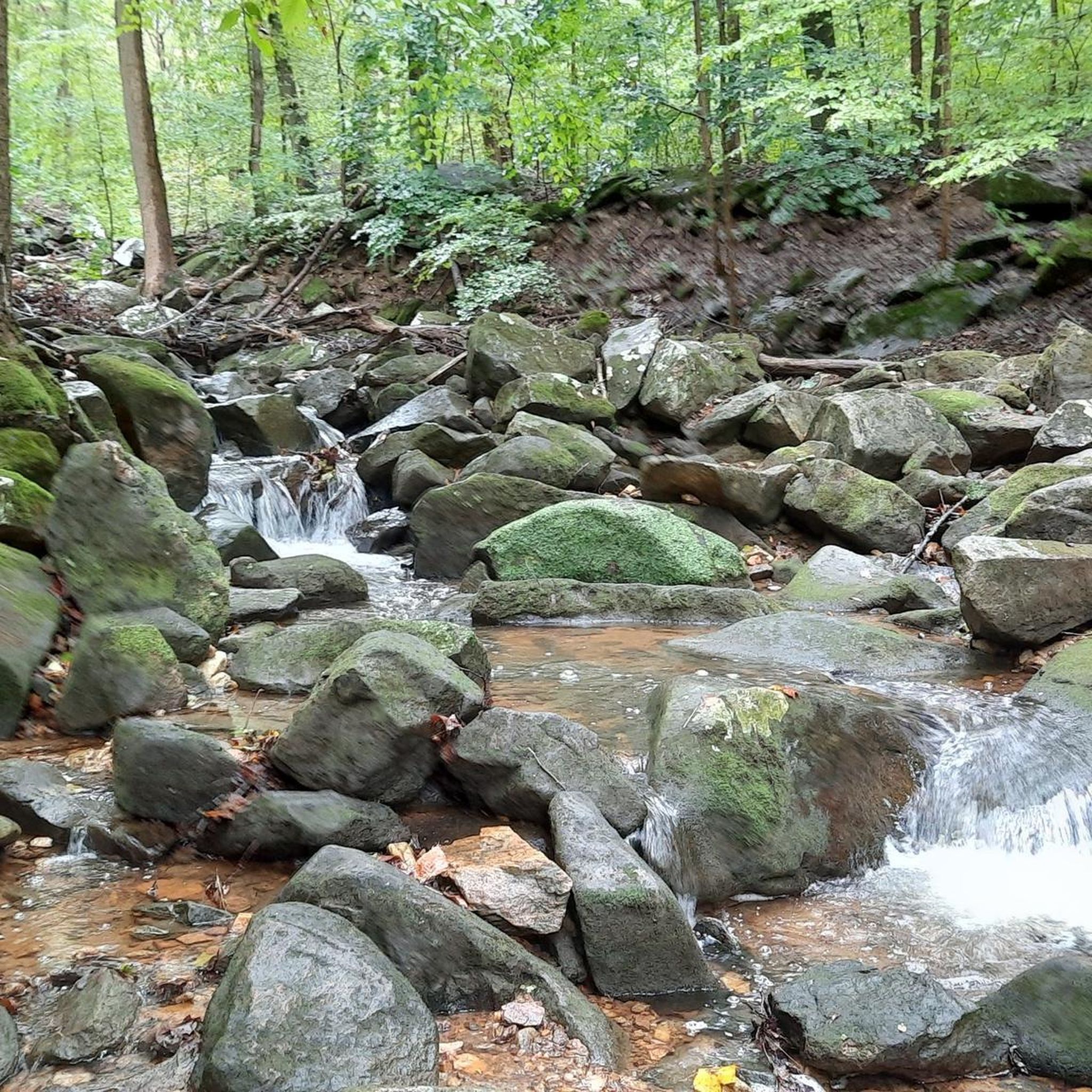
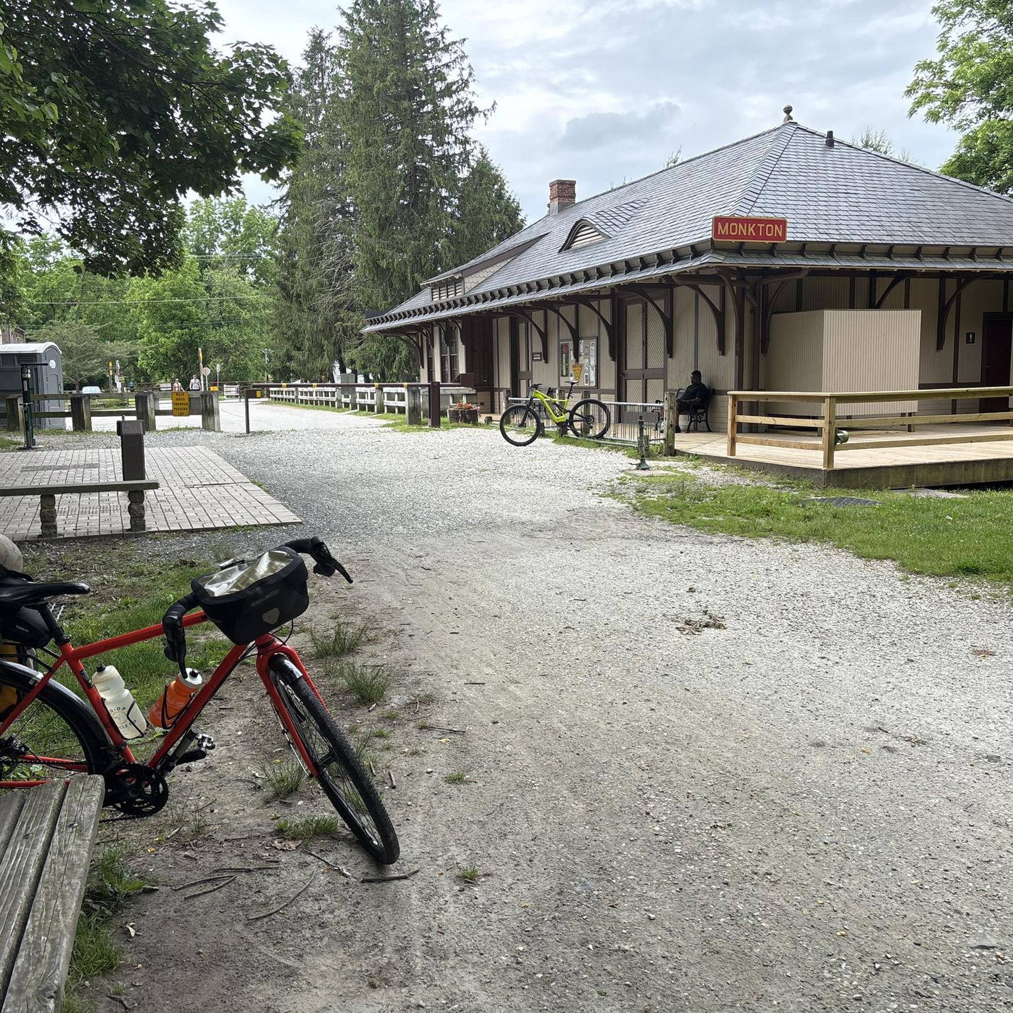
Tips from the Community

Convenient parking area with access to the rail trail. Water fountains, tube rentals and other river oriented recreation is available here.
0
0

The East Coast Greenway is a 3,000-mile biking and walking trail stretching from Maine to Florida. In Maryland, it covers 163 miles, with 61 miles dedicated to bike paths and the rest on roads shared with vehicles. Highlights include the Jones Falls Trail into Baltimore, the Torrey C. Brown Trail, and the B&A Trail leading to Annapolis. The route traverses historic towns along the Chesapeake Bay. Notably, there is no pedestrian access over the Hatem Bridge for the Susquehanna River crossing, requiring careful planning for bikers.
0
0
Rocks State Park spans 855 acres in northern Harford County, offering rocky forest landscapes. Highlights include the King and Queen Seat, a natural rock outcrop, and Kilgore Falls, Maryland’s second-highest vertical waterfall. The park features three picnic areas and 3.5 miles of hiking trails, with Deer Creek providing opportunities for fishing, wading, and tubing. While biking isn't allowed on the trails, the park's picnic spots make it a pleasant rest area for bikers.
0
0

While riding past this spot along Thornton Mill Road, make sure to keep your eyes peeled for Bosley Church. The farmland and old homesteads add to the authenticity of the area.
0
0

If you're cycling in the area or on the Torrey C. Brown Trail, you'll likely pass by this spot where there's a metal deck bridge over the Gunpowder Falls. Although it's not possible to stop in the middle to enjoy the views over the river as cars are passing and it's a single-lane bridge, on one side, there's a small area with grass where you can take a short break.
0
0
At 1,500 acres, Prettyboy Reservoir is a huge lake in Maryland. The WMA it's a part of totals 7,380 acres and is home to tons of species of fish, birds, and plants. There are a number of bridges that you can bike across and get views of the water.
0
0

The trailhead here leads to a couple of different easy blazed trails with great views of the reservoir from the end. If you drive a little further east along the road you also get great views of the water via iconic Dunning Bridge. The trail system is closed during hunting season. You can find more information here: https://dnr.maryland.gov/wildlife/Pages/publiclands/central/prettyboy.aspx.
0
0
Next to the parking area at Sparks Road and the Torrey C. Brown Rail Trail, you will find this building, open on summer weekends, featuring interpretive displays and family activities.
0
0
Frequently Asked Questions
How many road cycling routes are available in Cockeysville?
There are over 20 road cycling routes around Cockeysville, offering a variety of distances and challenges. The komoot community has explored more than 150 of these routes, with options ranging from moderate to difficult.
What kind of terrain can I expect on road cycling routes around Cockeysville?
Cockeysville offers diverse terrain for road cyclists. You'll find routes with rolling hills and significant elevation changes, particularly around areas like the Prettyboy Reservoir. While some routes are on paved roads, the region also features the Torrey C. Brown Rail Trail (NCR Trail), which has a crushed gravel and dirt surface and is almost flat, making it suitable for various bike types.
Are there any easy road cycling routes for beginners or families in Cockeysville?
While the guide primarily features moderate to difficult road cycling routes, the Torrey C. Brown Rail Trail (NCR Trail) is known for its almost flat elevation and crushed gravel surface, making it highly accessible for cyclists of all ability levels, including families. It's a great option for a less strenuous ride.
What landmarks or points of interest can I see along road cycling routes in Cockeysville?
Many routes offer scenic views and pass by notable landmarks. You can cycle near the picturesque Loch Raven Reservoir, which is surrounded by trails. The Torrey C. Brown Rail Trail features historical markers, including the Monkton Train Station, which now serves as a museum. You might also encounter the Gunpowder Falls Bridge along the way.
Can I cycle near the Loch Raven Reservoir?
Yes, the Loch Raven Reservoir is a significant natural feature in the Cockeysville area, offering a network of trails suitable for biking. While some routes around the reservoir are easy and mostly paved, others require good to very good fitness due to elevation changes and unpaved segments. The area is rich in wildlife, providing a scenic cycling experience.
Where can I find parking for road cycling routes in Cockeysville?
Parking is generally available at trailheads for popular routes. For instance, the southern end of the Torrey C. Brown Rail Trail in Cockeysville typically has convenient parking options. Specific parking details can often be found on individual route pages on komoot.
Are there challenging road cycling routes with significant elevation gain?
Yes, Cockeysville offers several challenging road cycling routes with substantial elevation gain. For example, the Western Run Bridge – Prettyboy Reservoir loop from McCormick Road is a difficult 43-mile route with over 900 meters of ascent, offering challenging climbs and scenic views around the Prettyboy Reservoir.
What do other road cyclists enjoy about cycling in Cockeysville?
The komoot community highly rates the road cycling experience in Cockeysville, with an average score of 4.0 stars. Cyclists often praise the diverse landscapes, from the flat rail trails to the rolling hills around reservoirs, and the variety of routes catering to different fitness levels. The scenic views and natural beauty are frequently highlighted.
Are there any loop road cycling routes in Cockeysville?
Yes, many road cycling routes in Cockeysville are designed as loops, allowing you to start and end at the same point. An example is the View of Bosley Church loop from McCormick Road, a moderate 25.9-mile path that provides views of the local countryside and historic landmarks.
What is the best time of year for road cycling in Cockeysville?
The spring and fall months generally offer the most pleasant conditions for road cycling in Cockeysville, with mild temperatures and beautiful scenery. Summer can be warm and humid, while winter may bring colder temperatures and potential for snow or ice, especially on unpaved sections or less-trafficked roads.
Are there cafes or places to stop for refreshments along the road cycling routes?
While specific cafes directly on every route may vary, popular cycling areas like the Torrey C. Brown Rail Trail often have amenities nearby. The Monkton Train Station along the NCR Trail, for instance, includes a gift shop which may offer refreshments. Exploring towns like Hereford, Parkton, and White Hall, which are popular cycling destinations, will also provide opportunities for stops.
How can I reach the cycling areas in Cockeysville using public transport?
While direct public transport access to all trailheads might be limited, some areas, particularly the southern end of the Torrey C. Brown Rail Trail in Cockeysville, may be accessible via local bus routes. It's advisable to check the Maryland Transit Administration (MTA) schedules for the most current information on routes serving Cockeysville.
Are there scenic road cycling routes in the Cockeysville area?
Absolutely. The region is known for its natural beauty. Routes around the Prettyboy Reservoir, such as the Western Run Bridge – Prettyboy Reservoir loop from Gilroy Road, offer varied landscapes and picturesque views. The Loch Raven Reservoir area and the Torrey C. Brown Rail Trail, running parallel to the Gunpowder River, also provide highly scenic cycling experiences.
Most popular routes around Cockeysville
Most popular attractions around Cockeysville

Get inspired with the komoot mobile app


Explore more
Browse the best Road cycling routes in other regions.
