The best walks and hikes around Bethesda
4.6
(377)
5,824
hikers
312
hikes
Hiking around Bethesda offers a network of trails through expansive parks and preserved green spaces. The terrain is characterized by paved multi-use paths, such as the Capital Crescent Trail, alongside natural surface trails that follow stream valleys and wind through woodlands. The region provides a mix of relatively flat routes and gentle rolling hills, making it accessible for various activities.
Best hiking trails around Bethesda
- The most popular hiking route is Bethesda to Chesapeake and Ohio Canal loop via Capital Crescent Trail, a 7.9 mile (12.6 km) trail that takes about 3 hours 20 minutes to complete. This route combines the paved Capital Crescent Trail with paths along the historic canal.
- Another top favourite among local hiking enthusiasts is Rock Creek Trail — Bethesda, a moderate 5.2 mile (8.3 km) path. The trail follows the creek through a wooded corridor, offering a quiet escape within the suburban landscape.
- Local hiking enthusiasts also love the Cabin John Trail — Cabin John Regional Park, a 2.7 mile (4.3 km) trail leading through a forested stream valley, often completed in about 1 hour 10 minutes.
- Hiking around Bethesda is defined by its mix of paved greenways, forested stream valleys, and riverside towpaths. The trail network provides options suitable for different ability levels, from short, easy walks to longer, more moderate hikes.
- The routes in Bethesda are highly rated by the komoot community with an average score of 4.7 stars from over 270 reviews. More than 4,200 hikers have used komoot to explore Bethesda's varied terrain.
Last updated: May 12, 2026
1
hikers
3.91km
01:02
40m
30m
Hike the easy 2.4-mile Cabin John Trail through lush woods, spotting wildlife and a Frank Lloyd Wright house along the way.
5.95km
01:31
10m
40m
This easy 3.7-mile hike along the C&O Canal towpath offers picturesque views of the canal, Potomac River, and historic locks.

Sign up for free
4.71km
01:14
40m
20m
Embark on an easy urban hike along the Bethesda Trolley Trail, a paved route that follows an old streetcar line. This 2.9-mile (4.7 km) path offers a smooth surface as you journey through Montgomery County, Maryland. You will gain 142 feet (43 metres) in elevation, making it a gentle outing that takes about 1 hour and 13 minutes to complete. As you go, you will pass by the National Institutes of Health (NIH) Campus, experiencing a pleasant escape within the city.
The Bethesda Trolley Trail is an excellent choice if you are looking for an accessible route suitable for families. It functions as both a recreational path and a vital commuter link, connecting the communities of Bethesda and Rockville. The paved surface ensures a comfortable experience for a wide range of users. Consider this trail for a convenient and enjoyable outing close to urban amenities.
This trail holds a unique place in the region, largely tracing the path of an old streetcar line. A notable feature is the series of pedestrian and cyclist-only bridges that span major highways, offering unique viewpoints and seamlessly connecting neighborhoods. You can also link up with other regional trails, such as the Capital Crescent Trail, if you wish to extend your adventure.
Enjoy an easy 0.8-mile urban and historical walk through Norwood Park, featuring historic architecture and scenic streets.
2.08km
00:34
40m
30m
Hike the easy Cabin John Trail from Cabin John Local Park to Seven Locks Road, enjoying creek views and a unique bamboo grove.
Get access to more routes and recommendations from other explorers.
Sign up for free
Already have an account?
Our route recommendations are based on thousands of hikes, rides, and runs completed by other people on komoot.
Start today with a free account
Your next adventure awaits.
Login or Signup
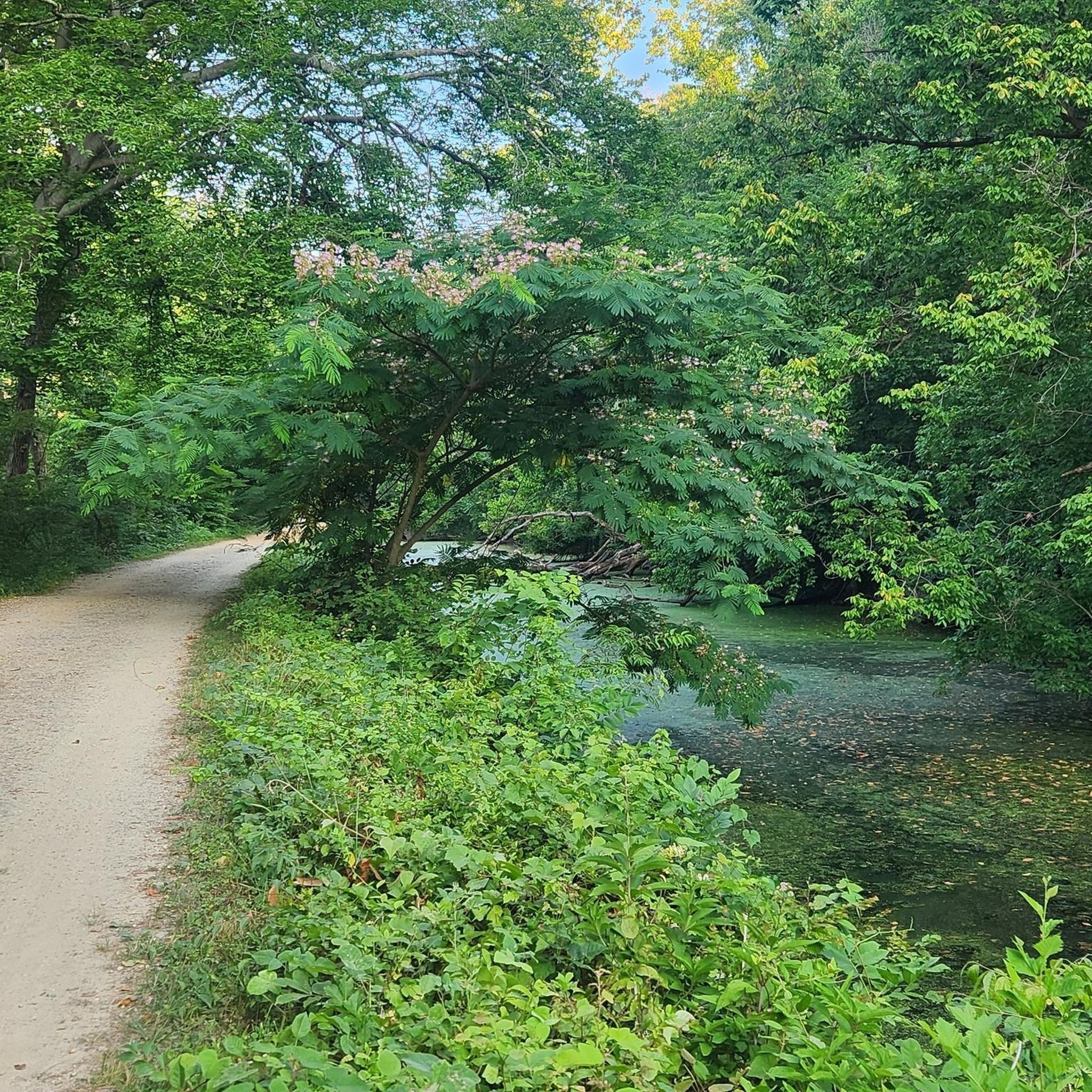
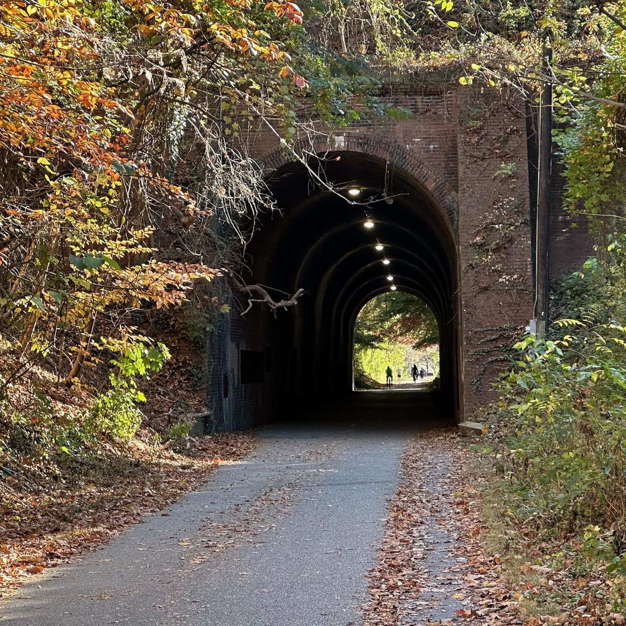
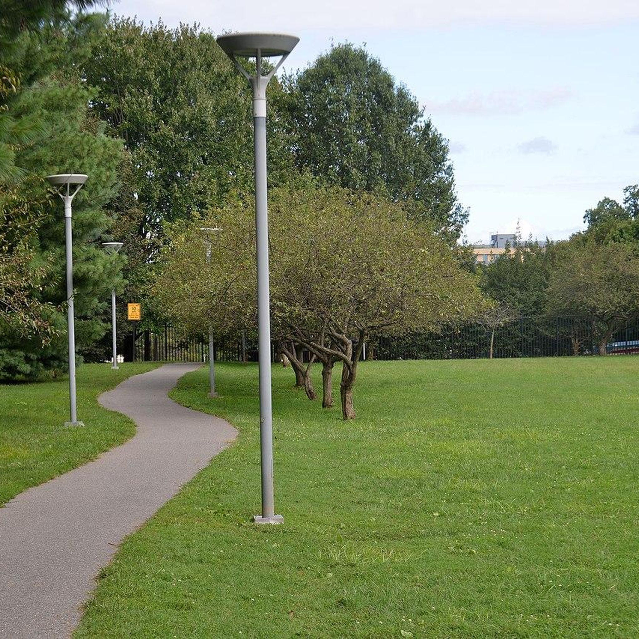
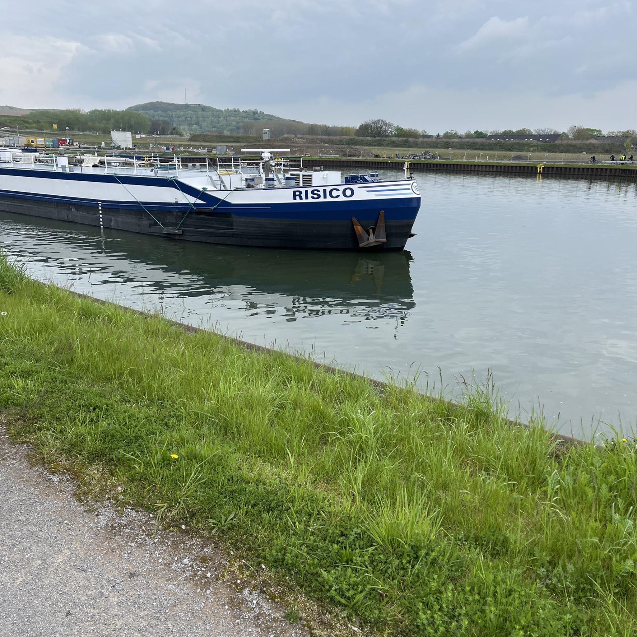
Tips from the Community

With its shady trails, playgrounds, and gentle creek, Cabin John Park is a local favourite for everything from peaceful walks to family picnics—where nature and community come together just outside the city.
0
0

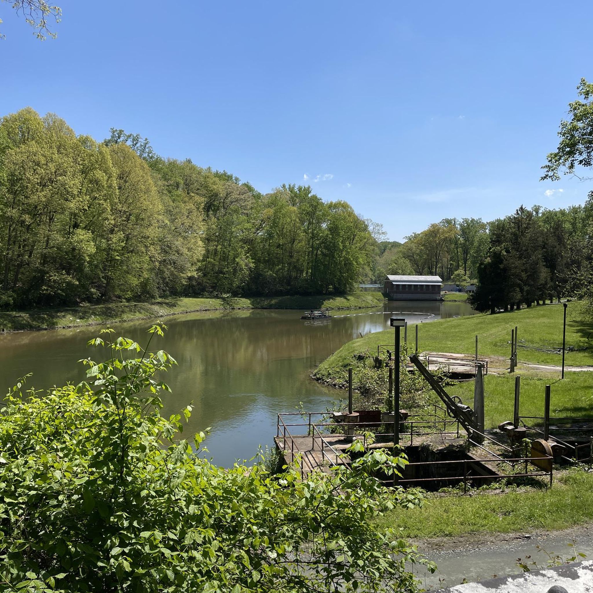
The Little Falls Dam is the spot that separates the Upper Potomac River and Lower Potomac River. It was constructed in 1959.
0
0

Just off the C & O Canal towpath there are two islands (Sycamore Island & Ruppert Island), they are owned by the Sycamore Island Club. This private club maintains the island (Sycamore Island mainly, Ruppert Island is home to beavers, cormorants, geese and other wildlife) and uses it for recreational and social purposes. The Club was founded in 1885 and uses a small ferry to access the island. More information on www.sycamoreisland.clubexpress.com.
0
0

The Little Falls Dam is a low dam built in the Potomac in 1959. It now separates the Upper Potomac River and Lower Potomac River, forming the Little Falls Reservoir. Due to the undercurrent of the Potomac created by the dam's design, it is very dangerous for swimmers and boaters.
3
0
One of the locks (#6 of 75) on the Chesapeake and Ohio Canal. These should ensure the shipping traffic between Cumberland and Washington to transport coal. The lock keeper's houses next to the lock have been restored and can be used as overnight accommodation.
3
0
Frequently Asked Questions
Are there many hiking trails to choose from around Bethesda?
Yes, there's a wide variety of options. You can explore over 250 different routes in the area, ranging from easy strolls to more challenging hikes. The majority of these are rated as easy or moderate, making the region very accessible.
What do other hikers think of the trails in Bethesda?
The trails around Bethesda are highly regarded by the komoot community, with an average rating of 4.7 out of 5 stars. Hikers often praise the mix of well-maintained paved paths and the serene natural trails that wind through the area's woodlands and stream valleys.
Are there any good hikes for families with children?
Absolutely. The Turkey Run Loop & Potomac Heritage Trail is a great choice. It's a relatively short and easy walk through Turkey Run Park. Another popular spot is Little Falls Stream Valley Park, which offers scenic, flat trails along the stream, plus picnic areas and a playground.
Can I bring my dog on the trails?
Many trails in and around Bethesda are dog-friendly, provided your dog is on a leash. Parks like Rock Creek Regional Park and Cabin John Regional Park are popular choices for dog walkers. Always check the specific regulations for the park you plan to visit before you go.
Are there any paved trails suitable for walking or strollers?
Yes, Bethesda is known for its excellent paved trails. The Bethesda Trolley Trail is a well-regarded, shaded path perfect for a leisurely walk. The Capital Crescent Trail is another major paved route, offering a longer journey through beautiful scenery all the way to Georgetown, D.C.
What is the best time of year to go hiking in Bethesda?
You can hike in Bethesda year-round, but spring and fall are particularly pleasant. Spring brings blooming wildflowers, while fall offers spectacular foliage, especially in forested areas like Rock Creek Regional Park. The summer can be hot and humid, so early morning hikes are recommended, and many trails like the Capital Crescent Trail offer good shade.
Are there any circular or loop hikes available?
Yes, there are several loop trails that allow you to start and end in the same place without retracing your steps. For a scenic, easy loop, consider the Dead Run Trail & Potomac Heritage Trail loop in Turkey Run Park, which offers lovely views along the Potomac.
Where can I find hikes with water features like streams or rivers?
Many of the area's best trails follow waterways. The Little Falls Stream Valley Trail runs alongside a peaceful stream, and the C&O Canal Towpath, easily accessible from Bethesda, provides extensive hiking opportunities right along the Potomac River.
How can I get to the hiking trails using public transport?
Several trails are accessible via public transportation. The Capital Crescent Trail and the Bethesda Trolley Trail have trailheads located right in downtown Bethesda, within walking distance of the Bethesda Metro station (Red Line) and numerous bus stops.
What should I pack for a day hike in the Bethesda area?
For most hikes, comfortable walking shoes are sufficient. Always bring water, especially during warmer months. It's also wise to pack sunscreen and insect repellent. While many trails are well-marked, having a map or the komoot app on your phone is recommended.
Where can I find information on local heritage and parks?
For more detailed information on the historical significance of local trails and parks in Montgomery County, you can visit the Heritage Montgomery website. They provide resources on the region's cultural and natural sites. You can find them at heritagemontgomery.org.
Most popular attractions around Bethesda

Get inspired with the komoot mobile app


Explore more
Browse the best Hikes in other regions.
