The best MTB trails around Mount Rainier
4.8
(3)
68
riders
4
rides
Mountain biking around Mount Rainier offers diverse terrain, centered on an active stratovolcano that ascends over 14,000 feet. The region features temperate rainforests at lower elevations, ancient forests, and subalpine wildflower meadows. Glacial meltwaters carve numerous rivers and create waterfalls, contributing to a varied landscape for cycling.
Best mountain bike trails around Mount Rainier
- The most popular mountain bike trail is Fishing Shore Beach – Chesapeake & Ohio Canal Trail loop from Dupont Circle, a 19.2 miles (30.9 km)…
Last updated: October 1, 2026
19
riders
39.2km
02:29
140m
140m
Moderate mountain bike ride. Good fitness required. Suitable for all skill levels.
4.5
(2)
9
riders
33.8km
01:52
170m
170m
Easy mountain bike ride. Great for any fitness level. Suitable for all skill levels.

8
riders
20.5km
01:19
50m
50m
Easy mountain bike ride. Great for any fitness level. Suitable for all skill levels.
6
riders
29.0km
01:41
250m
250m
Easy mountain bike ride. Great for any fitness level. Suitable for all skill levels.
6
riders
12.6km
00:50
40m
40m
Easy mountain bike ride. Great for any fitness level. Suitable for all skill levels.
Our route recommendations are based on thousands of hikes, rides, and runs completed by other people on komoot.
Start today with a free account
Your next adventure awaits.
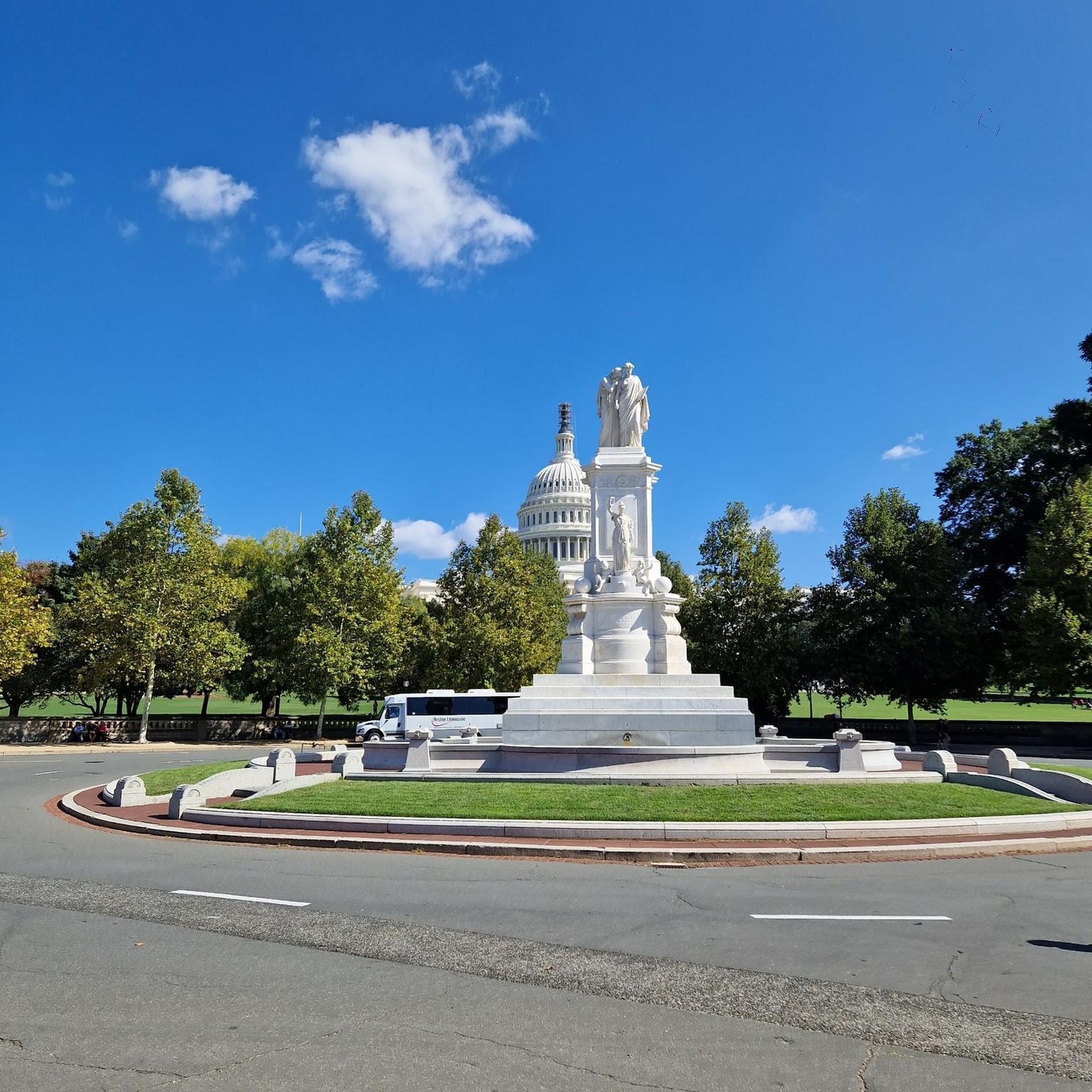
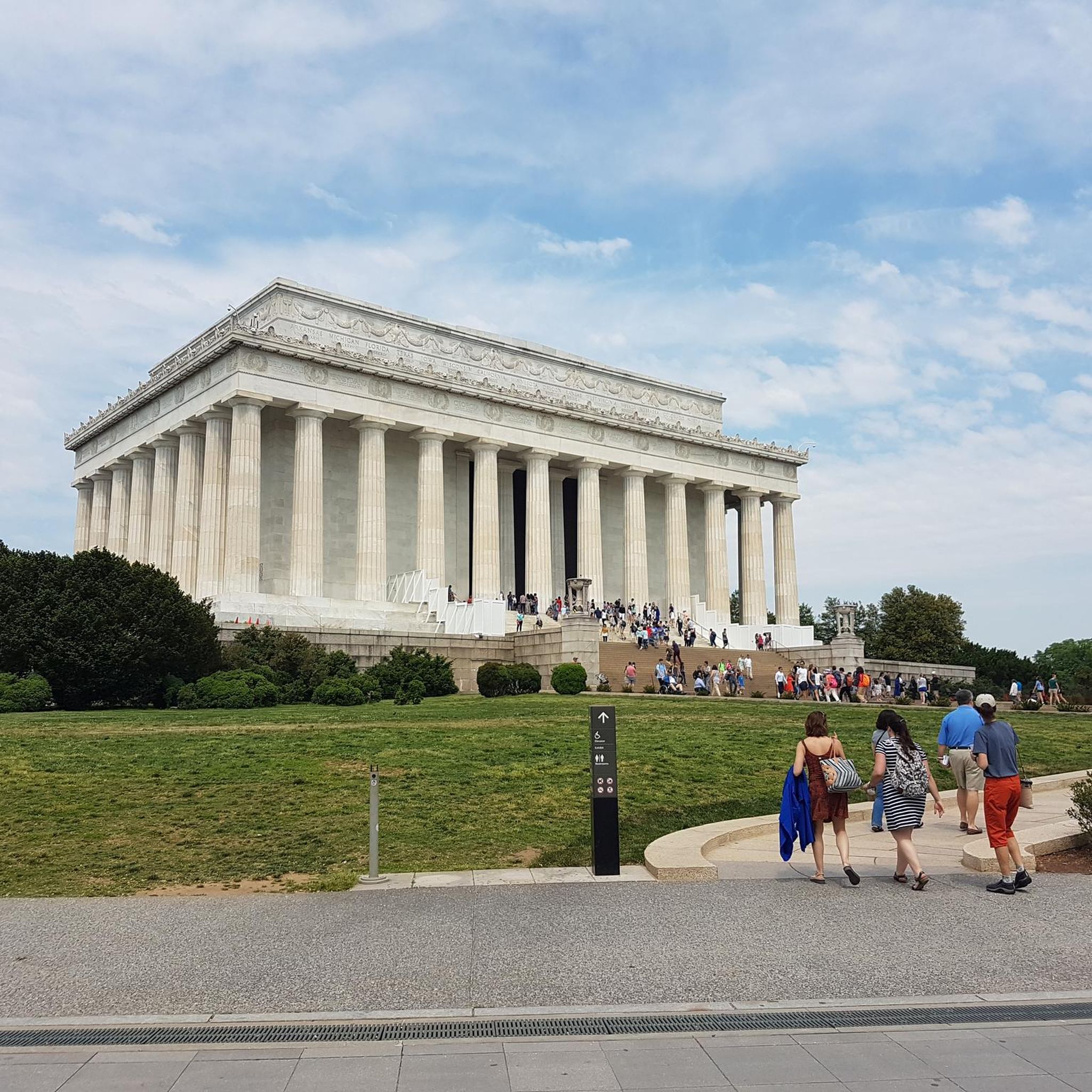

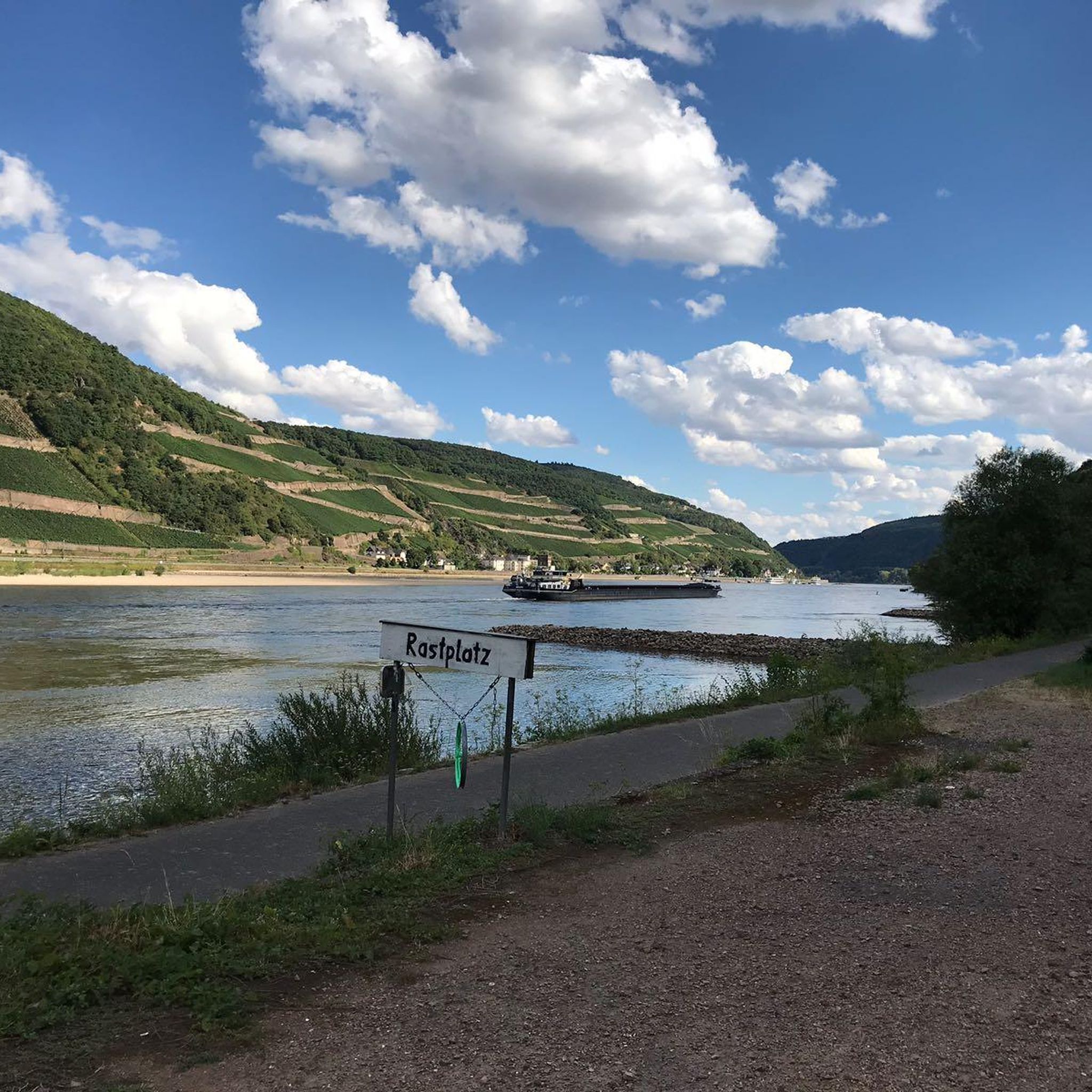
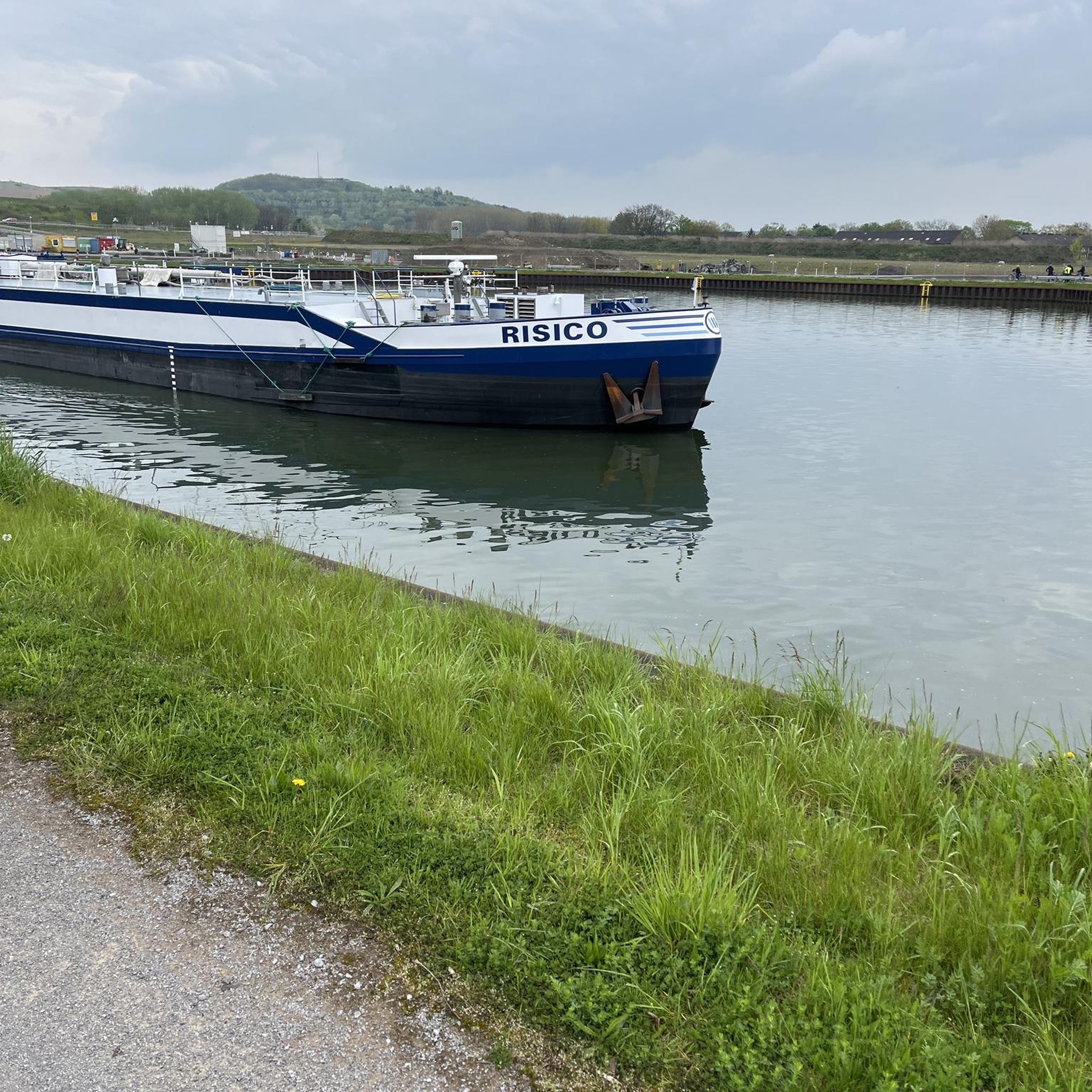
Tips from the Community


Although it is free, you need to reserve tickets online to be able to visit, due to a high demand. You will need several hours for the museum.
0
0

Remains of the former harbor / waterfront of Washington
1
0

Planet Word Museum in Washington, D.C., is a unique and engaging institution dedicated to the power and wonder of language. Housed in the historic Franklin School, this voice-activated museum brings words to life through interactive exhibits spanning three floors. Visitors can explore the origins of language, delve into global dialects, experiment with wordplay, and even try their hand at public speaking. With its innovative approach, Planet Word aims to inspire a love of language and literacy in people of all ages, making it a captivating and educational experience in the heart of the nation's capital.
1
0

Once a working gristmill in the 1800s, Pierce Mill offers a glimpse into early Washington industry amid the woodland calm of Rock Creek Park. Today, its restored stone walls and waterwheel stand as a quiet counterpoint to the city just beyond the trees.
0
0

The Little Falls Dam is the spot that separates the Upper Potomac River and Lower Potomac River. It was constructed in 1959.
0
0

Peirce Mill, built in 1829 by Isaac Peirce on Rock Creek, once used water to power this mill that processed corn, wheat, and rye until its turbine shaft broke in 1897. Situated on a 960-acre plantation operated with slave labor, the mill became part of Rock Creek Park in 1890 through an Act of Congress. By the early 1900s, park managers enhanced the site with roads, bridges, and a dam. The New Deal legislation gave Rock Creek Park to the National Park Service in 1933, and the mill was restored. Today, visitors can explore the site, which includes parking, a visitor center, bathrooms, and a picnic area, as part of Rock Creek Park’s year-round attractions.
1
0
Rock Creek Park, spanning 1,754 acres, is a natural escape from city life, offering trails, wildlife, and historic landmarks. Founded by Congress in 1890, this national park features not only natural beauty but also family-friendly activities. Visitors can explore its flat paved trails, visit the Smithsonian National Zoo, or learn about history at the 19th-century Peirce Mill. Families can enjoy the Nature Center, and Discovery Room. The park also hosts stargazing at its planetarium, guided ranger walks, picnic spots, and opportunities to visit historic sites like Fort Stevens, where Lincoln stood during the Civil War.
0
0
Frequently Asked Questions
How many mountain bike trails are available around Mount Rainier?
There are over 8 mountain bike routes around Mount Rainier available on komoot, offering a variety of experiences for different skill levels. These include routes within the national park on designated roads and more extensive singletrack trails in the surrounding areas.
Are there easy mountain bike trails suitable for beginners or families?
Yes, there are 4 easy mountain bike trails around Mount Rainier. For a pleasant ride through parkland, consider the Rock Creek Park – Rock Creek Trail loop from Silver Spring, which is 21.5 miles (34.6 km) long. Within Mount Rainier National Park, the Carbon River Trail, a former roadway, is also suitable for beginner to intermediate riders and families.
What kind of terrain can I expect on mountain bike trails near Mount Rainier?
Mountain biking around Mount Rainier offers varied terrain. Within the national park, you'll find paved park roads and designated multi-use roads like the Carbon River Trail. In the surrounding areas, you can expect cross-country trails, wide singletrack, dirt roads, and some technical sections, particularly in areas like the 410 Trails near Greenwater or around Crystal Mountain.
Are there any challenging mountain bike routes for experienced riders?
Yes, there is 1 difficult mountain bike route available. The Pennyfield Lock – Dalecarlia Tunnel loop from Travilah is a challenging 49.1 miles (79.0 km) trail with significant elevation gain, taking approximately 6 hours 18 minutes to complete. Additionally, the Westside Road within the national park, mostly closed to motor vehicles, offers a challenging climb of approximately 2,100 feet over 9.25 miles.
What is the best time of year for mountain biking around Mount Rainier?
The optimal time for cycling around Mount Rainier is often September and early October, offering fewer vehicles and beautiful fall foliage. While lower elevation areas in the Nisqually Watershed can be snow-free year-round, many trails are best enjoyed from late spring through early autumn when snow has melted and conditions are drier. Always check current weather and trail conditions before heading out.
Are there any circular mountain bike routes in the area?
Yes, many of the routes are designed as loops. For example, the Dalecarlia Tunnel – Key Bridge Boathouse loop from Tenleytown–AU is a 16.8 miles (27.1 km) trail that takes you through urban and natural landscapes, typically completed in about 1 hour 38 minutes.
What natural features or landmarks can I see while mountain biking near Mount Rainier?
While mountain biking, you can experience the majestic presence of Mount Rainier itself, an active stratovolcano with numerous glaciers. The region is also known for its dense temperate rainforests with ancient trees, subalpine wildflower meadows (especially vibrant in July and August), and scenic vistas. Although the provided routes are not directly within the park's main scenic areas, the surrounding region offers stunning natural beauty. You can also explore highlights like Rock Creek Park, a beautiful forest area.
What do other mountain bikers enjoy most about mountain biking around Mount Rainier?
The mountain biking routes around Mount Rainier are highly rated by the komoot community, with an average score of 5.0 stars from over 3 reviews. Riders often praise the varied terrain, which includes both accessible park roads and more challenging cross-country trails, catering to different skill levels. The opportunity to explore the diverse landscapes surrounding the iconic Mount Rainier is also a significant draw.
Is mountain biking permitted within Mount Rainier National Park, and are there any specific rules?
Within Mount Rainier National Park, traditional mountain biking on singletrack trails is restricted. Bicycles are generally limited to paved park roads and designated multi-use roads, such as the Carbon River Trail and Westside Road. E-bikes are permitted wherever traditional bicycles are allowed. Park roads can be steep and winding, so caution is advised. For detailed regulations, it's recommended to check the official National Park Service website: nps.gov.
Are there any places to stop for food or accommodation near the mountain bike trails?
While specific cafes or accommodation directly on the trails are not listed in the provided data, the towns and communities surrounding Mount Rainier National Park, such as Greenwater and Packwood, offer various services including cafes, pubs, and lodging options for visitors. It's advisable to plan your stops in advance, especially when venturing into more remote areas.
How long do mountain bike trails typically take to complete in this area?
The duration of mountain bike trails around Mount Rainier varies significantly based on distance and difficulty. For instance, an easy trail like the Dalecarlia Tunnel – Key Bridge Boathouse loop from Tenleytown–AU, at 16.8 miles (27.1 km), can be completed in about 1 hour 38 minutes. A more difficult and longer route, such as the Pennyfield Lock – Dalecarlia Tunnel loop from Travilah (49.1 miles / 79.0 km), can take approximately 6 hours 18 minutes.
Are there any specific parking or public transport options for accessing mountain bike trails?
Parking is generally available at trailheads and visitor centers within and around Mount Rainier National Park. For trails within the park, designated parking areas are provided. For trails in surrounding areas, specific parking details would depend on the individual trailhead. Public transport options directly to many mountain bike trailheads are limited, so personal vehicles are often the most practical way to access these routes. Always check specific access information for your chosen trail.
Most popular attractions around Mount Rainier

Get inspired with the komoot mobile app


Explore more
Browse the best MTB trails in other regions.
