The 20 Most Amazing Peaks in Franconian Switzerland
Best mountain peaks in Franconian Switzerland are characterized by a distinctive karst topography, featuring impressive rock formations and dense forests. This upland region in Upper Franconia, Bavaria, Germany, offers numerous elevated points with historical significance and opportunities for outdoor activities. The area is known for its dramatic landscapes, including river valleys and medieval castles often situated on rocky outcrops. Visitors can explore a variety of peaks, from table hills to prominent rock spires.
Best mountain peaks in Franconian Switzerland
- The most popular mountain peaks is View of the Wiesent Valley from the Walberla, a viewpoint that offers a phenomenal 360-degree all-round view. This location is a popular hiking destination in Franconian Switzerland.
- Another must-see spot is Wallerwarte Watchtower, a man-made monument offering panoramic views. The listed stone tower, built in 1930, provides a view over the town of Ebermannstadt and into the Wiesent valley.
- Visitors also love Hohes Kreuz Observation Tower, a viewpoint near the Oswaldhöhle. This approximately 12-meter high tower offers a good all-round view from the Hohlen Berg.
- Franconian Switzerland is known for its table hills, rock formations, and elevated viewpoints. The region offers a variety of mountain peaks to see and explore, including natural summits and locations with man-made observation structures.
- The mountain peaks in Franconian Switzerland are appreciated by the komoot community, with over 2000 upvotes and 1199 photos shared across 66 highlights.
Last updated: July 19, 2026
Hohes Kreuz Observation Tower
Highlight • Viewpoint
Translated by Google •
Tip by

Rodenstein
Highlight • Summit
Translated by Google •
Tip by

Sign up now to discover places like this
Get recommendations on the best single tracks, peaks, & plenty of other exciting outdoor places.
Sign up for free
View of the Wiesent Valley from the Walberla
Highlight • Viewpoint
Translated by Google •
Tip by

View of Kirchehrenbach from the Pre-Summit Cross
Highlight • Viewpoint
Translated by Google •
Tip by
Rock formations on the Ehrenbürg (Walberla)
Highlight • Natural Monument
Translated by Google •
Tip by

Nice view of the "Steinerne Frau"
Highlight • Natural Monument
Translated by Google •
Tip by

Sugarloaf
Highlight • Summit
Translated by Google •
Tip by

Wallerwarte Watchtower
Highlight • Monument
Translated by Google •
Tip by

View of Walberla (Ehrenbürg)
Highlight • Viewpoint
Location and further information: de.m.wikipedia.org/wiki/Ehrenbürg
Translated by Google •
Tip by

Predigtstuhl Rock (Paradiestal)
Highlight • Natural Monument
Translated by Google •
Tip by

Sign up for free to discover even more peaks in Franconian Switzerland.
Sign up for free
Already have an account?
Start today with a free account
Your next adventure awaits.
Login or Signup
Popular around Franconian Switzerland
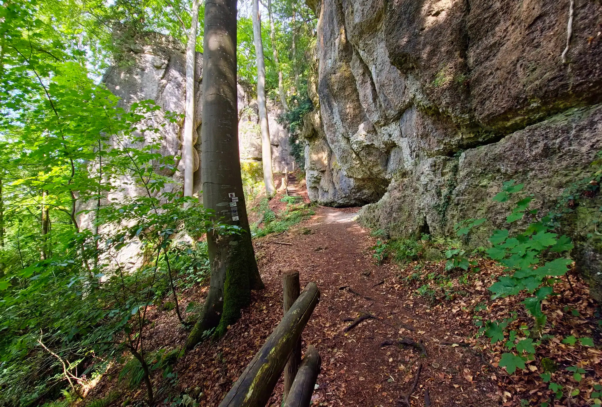
Ultratrail Fränkische Schweiz – 2 Days Burgen, Wälder, Trails
Nuremberg to Erfurt – Discover the German countryside by bike
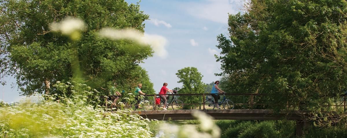
The most beautiful long-distance cycle paths in Franconia
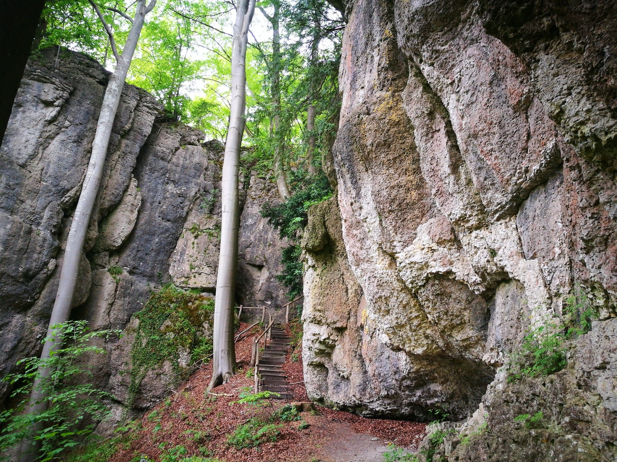
Forests, rocks and castles – 5-day circular through Franconian Switzerland
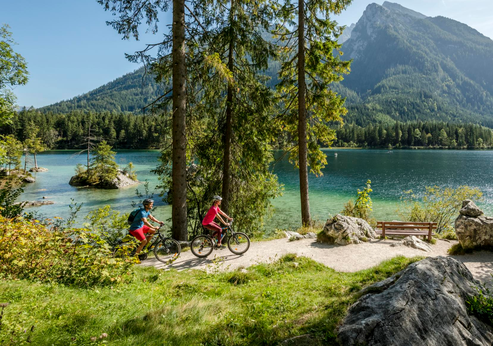
Discover Germany's diversity on enchanting cycling routes

The National Natural Landscapes in Bavaria
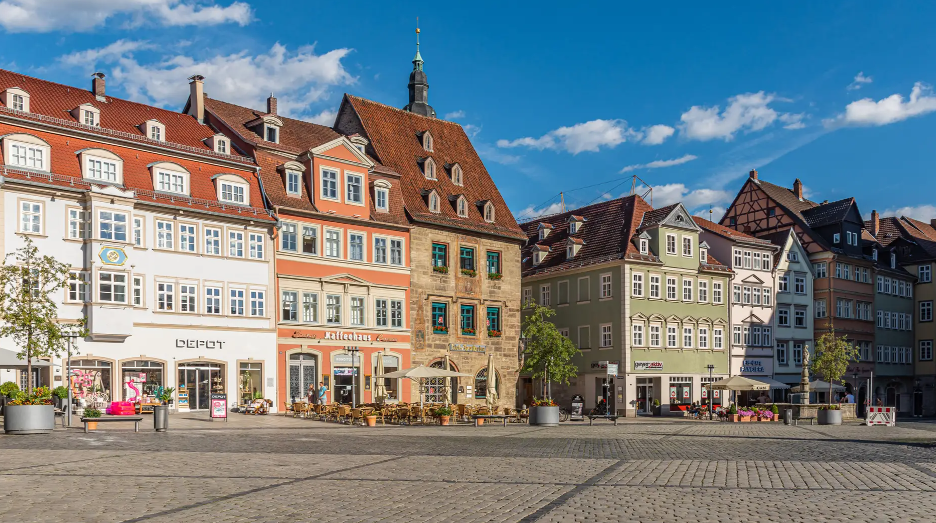
From the metropolis to enjoyment – city hiking on the VGN
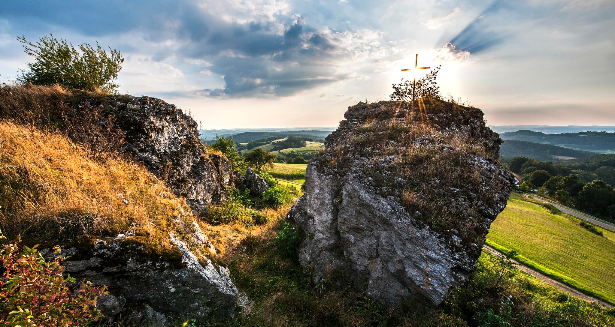
Fun hiking and wonderful views in Franconian Switzerland
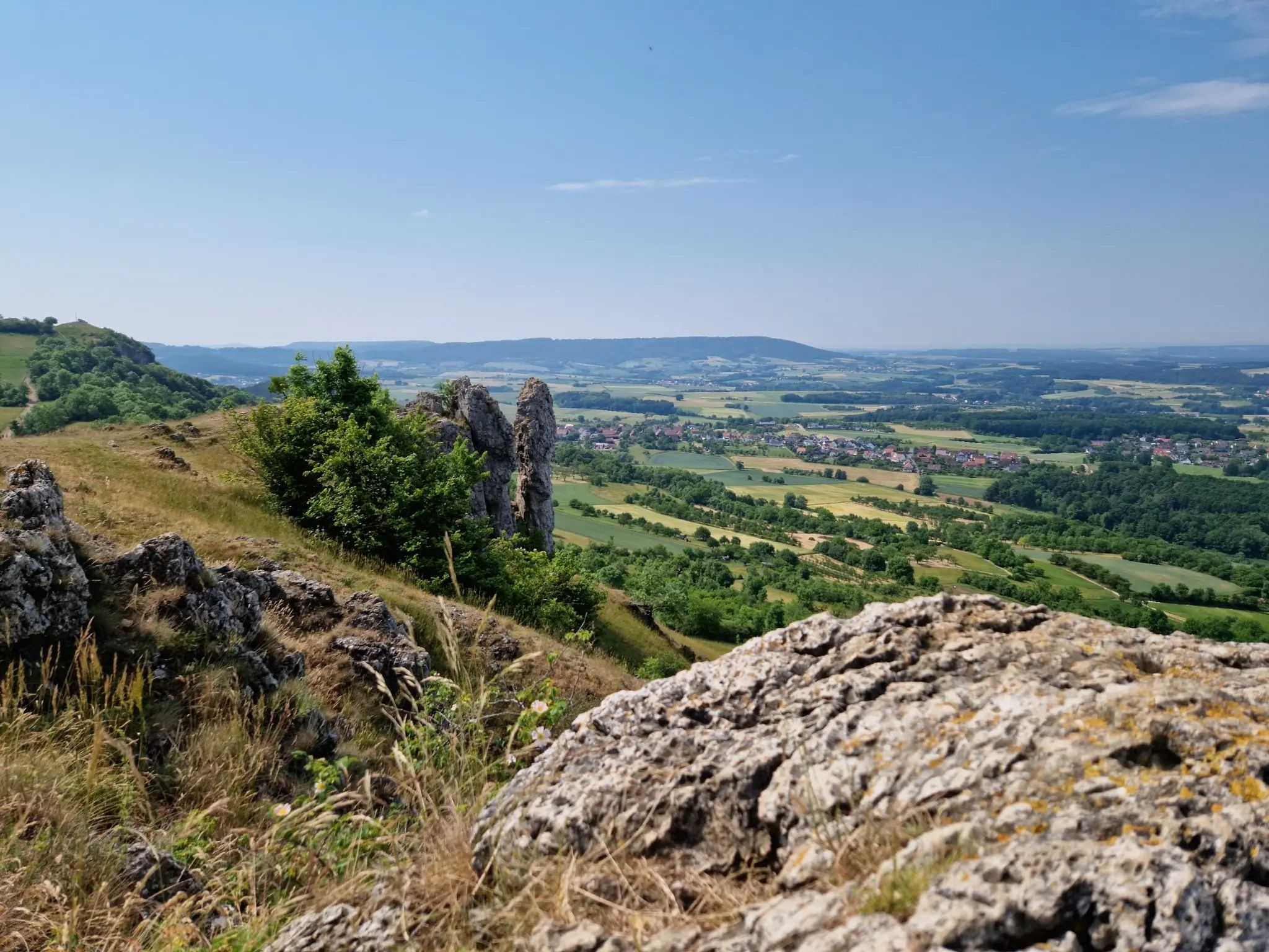
Ten fantastic hikes throughout Germany
Transbavaria – north to south across Bavaria
Other adventures in Franconian Switzerland


Tips from the Community

Fascinating rock formations at the Franconian landmark Walberla.
1
0

Well… if you called it a stool, it would be sufficient…😉
15
0

At almost any time of the year you have a beautiful view of Kirchenehrenbach and the surrounding region from here
5
0

Nice perspective from here.
1
0

Stone woman, well I would say it's a fat sleeping witch 😂
6
4

The Sugarloaf Mountain lies at an altitude of 515 meters. The beautiful view goes on three sides: into the Wiesenttal to the west to the Walberla and almost to Forchheim, to the east the view ends in the narrow and winding valley to Streitberg, opposite the imposing Hummerstein with the Leinleitertal running north with Greifenstein Castle in the background. The summit cross was erected in 1947 as a “sign of thanks and memorial of peace” by those returning from the war.
9
0
The Wallerwarte, a stone tower built in the 1930s, rises above Ebermannstadt. There is a great view of the Hetzleser Berg, the towns in the lower Wiesenttal and the Leinleitertal to Greifenstein Castle near Heiligenstadt.
9
1

There is a bench just below the tower. Ideal for snacks.
15
0
Frequently Asked Questions
What are some of the most popular viewpoints among the mountain peaks in Franconian Switzerland?
Visitors particularly enjoy the View of the Wiesent Valley from the Walberla, which offers a phenomenal 360-degree all-round view. Other popular spots include the Wallerwarte Watchtower, providing panoramic views over Ebermannstadt, and the Hohes Kreuz Observation Tower near the Oswaldhöhle, known for its good all-round views from the Hohlen Berg.
What natural landmarks and rock formations can I explore in Franconian Switzerland's peaks?
The region is famous for its distinctive karst topography. You can explore impressive rock formations like those on the Ehrenbürg (Walberla), including the prominent 'Steinerne Frau'. The Predigtstuhl Rock (Paradiestal) is another notable natural monument offering great views and climbing opportunities.
Are there historical landmarks or structures on or near the mountain peaks?
Yes, many peaks offer historical significance. The Walberla, for instance, hosts the small Walburgis Chapel, first mentioned in 1360. The Vexier Chapel of St. Nicholas, Reifenberg, is another historical religious building on an elevated point, offering great views. Additionally, the Wallerwarte Watchtower is a listed stone tower built in 1930, providing historical context alongside its panoramic views.
What is the typical terrain and difficulty of hikes around the mountain peaks in Franconian Switzerland?
The terrain in Franconian Switzerland is characterized by mountain chains, steep slopes, and impressive dolomite rock formations. Hikes can range from moderate to difficult, often involving ascents to elevated viewpoints or summits. Many trails offer rewarding panoramic vistas and lead through dense forests and picturesque river valleys.
What is the best time of year to visit the mountain peaks in Franconian Switzerland?
Franconian Switzerland is beautiful year-round. Spring and autumn offer pleasant temperatures for hiking and vibrant natural scenery. The annual Walberla festival, a significant event, takes place on April 30th. Summer is also popular for outdoor activities, while winter can offer unique, serene landscapes, though some trails might require appropriate gear.
Are there family-friendly or dog-friendly trails around the peaks in Franconian Switzerland?
Yes, Franconian Switzerland offers various trails suitable for families and dogs. Many paths are well-maintained and lead to viewpoints or natural attractions. For example, the View of Kirchehrenbach from the Pre-Summit Cross is noted as family-friendly. When planning, look for trails marked as 'easy' or 'intermediate' and always ensure your dog is on a leash where required.
What outdoor activities can I do near these mountain peaks?
Beyond hiking to the peaks, Franconian Switzerland is a paradise for various outdoor activities. The region is renowned for rock climbing, with over 6,500 routes. You can also find numerous cycling routes, including options for touring bicycles like those detailed in the Cycling in Franconian Switzerland guide. For runners, there are dedicated Running Trails in Franconian Switzerland, and of course, many more Mountain Hikes.
Are there easy mountain hikes suitable for beginners in Franconian Switzerland?
Yes, there are several easy and moderate mountain hikes that are suitable for beginners. While some peaks involve steeper ascents, many circular routes and trails to viewpoints are accessible. It's advisable to check the difficulty ratings of specific routes on komoot, but generally, paths around popular areas like Walberla offer options for less experienced hikers.
How can I access the mountain peaks by public transport, and is parking available?
Public transport options to Franconian Switzerland exist, often involving regional trains and buses to towns like Forchheim or Ebermannstadt, from where you can connect to trailheads. For those traveling by car, parking is generally available at or near popular trailheads and villages. It's recommended to check specific access points for your chosen peak or trail in advance.
What do visitors enjoy most about the mountain peaks in Franconian Switzerland?
Visitors consistently praise the phenomenal 360-degree views from the summits and observation towers. The unique rock formations, the blend of natural beauty with historical sites like chapels and castles, and the extensive network of hiking and climbing routes are also highly appreciated. The region's distinctive landscape and the sense of discovery make it a popular destination for outdoor enthusiasts.
Are there cafes or places to eat near the mountain peaks in Franconian Switzerland?
Yes, the villages and towns nestled within Franconian Switzerland, such as Pottenstein, Gössweinstein, and those around Walberla, offer various cafes, restaurants, and traditional Franconian inns. These provide opportunities to enjoy local cuisine and refreshments before or after your hike. It's always a good idea to check opening hours, especially in smaller villages.
Most popular routes in Franconian Switzerland
Most popular attractions in Franconian Switzerland

Get inspired with the komoot mobile app


Didn’t find what you were looking for?
Discover Franconian Switzerland’s best peaks and summits by region:
Explore more
See even more amazing summits in Franconian Switzerland with these guides:
