The best walks and hikes around Vester Krat
4.6
(109)
646
hikers
43
hikes
Hiking around Vester Krat reveals a landscape characterized by forests, rivers, and lakes in Central Denmark. The region features gentle elevations, making it accessible for various hiking abilities. Trails often follow the courses of rivers like the Skjern and Gudenå, connecting natural water sources and scenic viewpoints. This area provides a natural setting for outdoor activities, with a focus on woodland and waterside paths.
Best hiking trails around Vester Krat
- The most popular hiking route is Hærvejen – Source of…
Last updated: November 8, 2026
5.0
(3)
14
hikers
10.3km
02:45
110m
100m
Moderate hike. Good fitness required. Easily walkable paths.
5.0
(1)
6
hikers
5.70km
01:30
50m
50m
Easy hike. Easily walkable paths.

4.3
(3)
18
hikers
Easy hike. Easily walkable paths.
4.5
(2)
10
hikers
Easy hike. Easily walkable paths.
5.0
(1)
13
hikers
Moderate hike. Good fitness required. Easily walkable paths.
Get access to more routes and recommendations from other explorers.
Already have an account?
Our route recommendations are based on thousands of hikes, rides, and runs completed by other people on komoot.
Start today with a free account
Your next adventure awaits.

Tips from the Community

Located in a deep ice-age tunnel valley, Rørbæk Sø is surrounded by protected oak forests and heathland. Just south-east of the lake at Tinnet Krat, the spring sources of Gudenåen and Skjern Å, which flows directly into Rørbæk Sø, originate less than 100 metres apart before winding in opposite directions across Jutland.
0
0
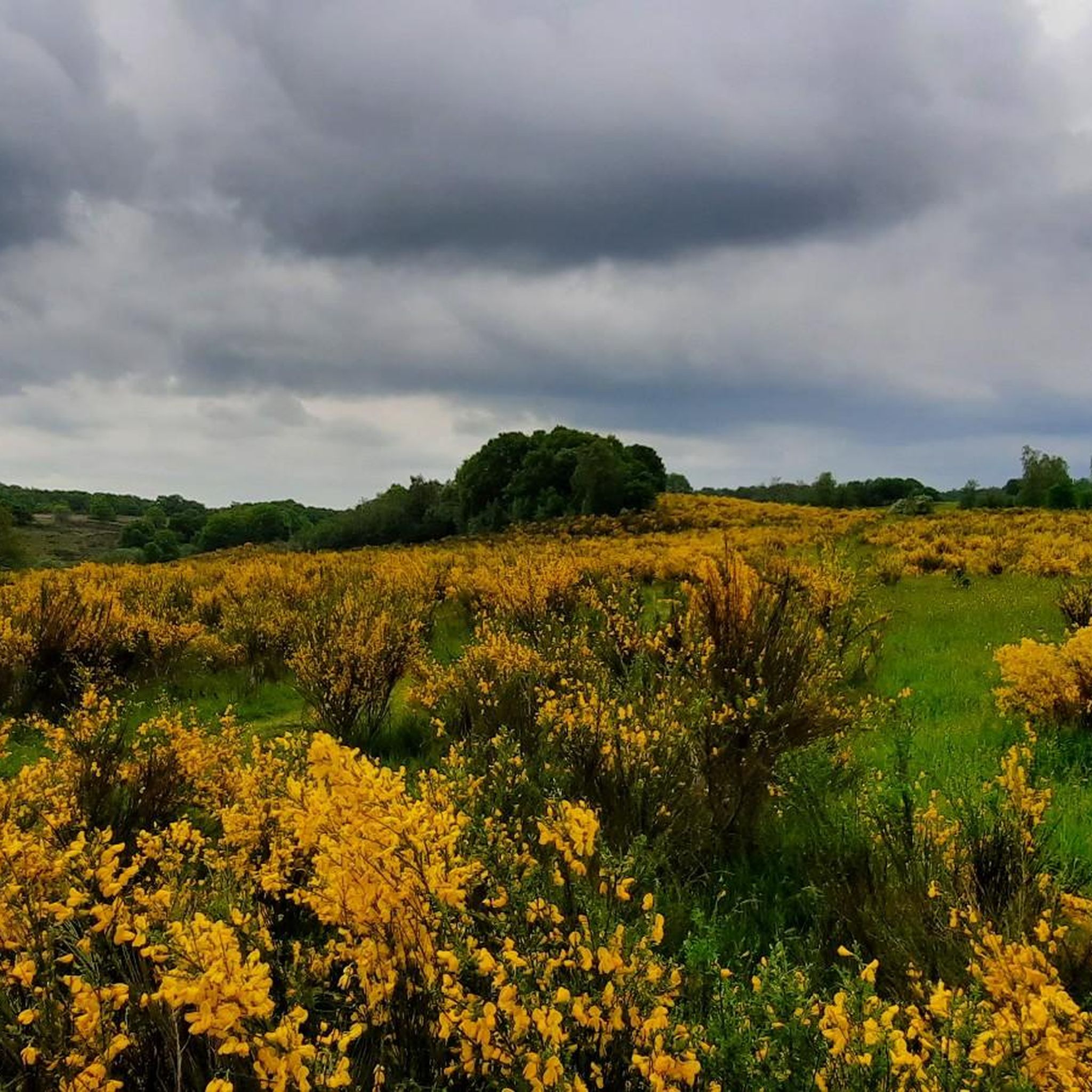
From here, you have views over the protected oak forests, heather-clad hills, and Rørbæk Sø, which was carved out during the last ice age.
1
0
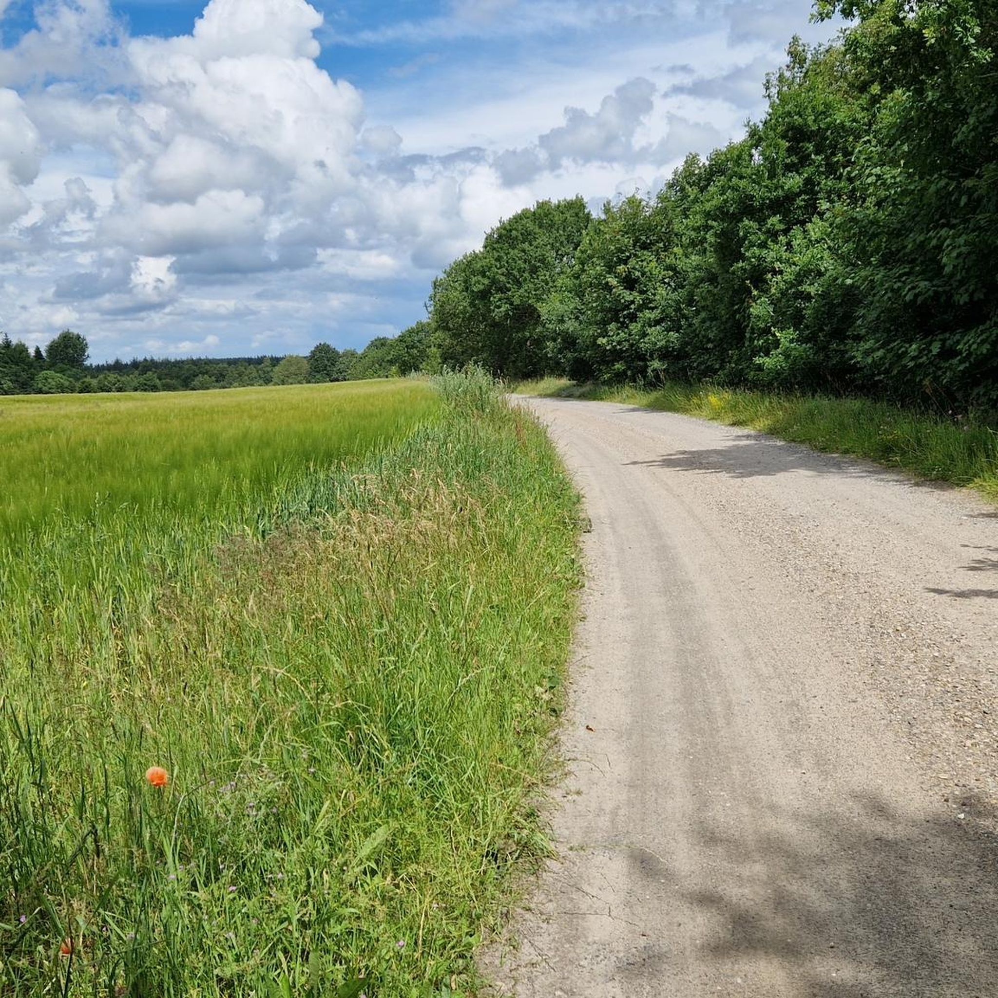
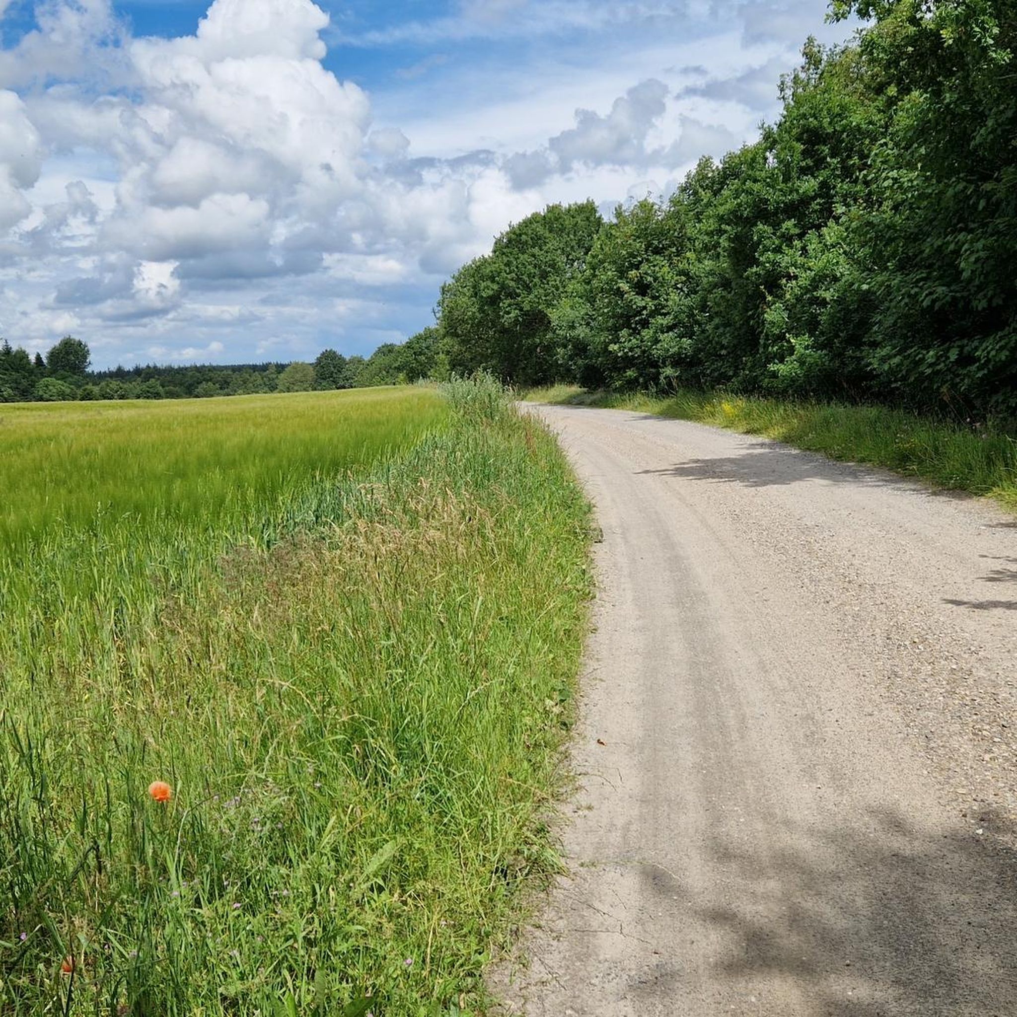
Hærvejen, also known as the Ancient Road, is a historic pilgrimage and trade route running down the spine of the Jutland peninsula. The route is highly popular with both hikers and cyclists, offering a well-signposted mix of quiet asphalt lanes, gravel tracks, and scenic countryside.
0
0

Rørbæk Sø is traversed by the river Skjern, which originates 2½ km southeast of the lake. Kulsø is located somewhat west of Rørbæk Sø. The Rørbæk lake was formed in a dead ice hollow in the tunnel valley. Deposited sand and gravel in the dead ice formed several small islands, most of which are merely elevations on the lake shore. [ 2 ] On the eastern part of the Kælderbanke rampart, south of the lake, there is a 15 × 6 m and 1.5 m deep cellar made of boulders. [ 3 ] It is the remains of the Gammel Rørbæk farm, which was burned down by Swedish troops in 1657 during the First Karl Gustav War and not rebuilt. [ 1 ] A few hundred meters south of Kælderbanke lies Ballesbækgård, where a small museum is located. [ 1 ] The lake forms the border between the municipalities Ikast-Brande and Vejle.
0
0

The source of the Gudenå, Denmark's longest river, is what you'll find here at this spring. What makes this spot truly unique is that the source is located in the same area as the source of the Skjern River, the country's largest river by water volume. It's a fascinating experience to see two of Denmark's most important rivers begin their journeys just a few hundred meters apart.
1
0
Make a stop at the humble source of the Skjern River, Denmark's largest river by volume. Here, in the quiet area of Tinnet Krat, you'll find the small spring that gives rise to this powerful waterway. It's a truly fascinating experience to see the beginning of such a major river, and it's a key highlight for anyone hiking the Hærvejen route. The area is a fantastic spot to reflect on the immense natural forces that shape the landscape.
1
0
Rørbæk Lake is a stunningly beautiful spot along the Hærvejen hiking route. The clear water and quiet atmosphere make it a perfect place to pause for a break and enjoy the natural beauty of the area. On a warm day, you can even take a refreshing swim in the lake. It is a fantastic highlight for those seeking a moment of tranquillity on their journey.
2
1

Frequently Asked Questions
How many hiking trails are available in Vester Krat?
Vester Krat offers a diverse network of over 40 hiking trails. These routes cater to various preferences, ranging from easy strolls to more challenging excursions through forests, along rivers, and past lakes.
Are there easy hiking trails suitable for beginners in Vester Krat?
Yes, Vester Krat is very accessible for beginners, with 20 easy trails available. A great option is the Hærvejen – Source of the Skjern River loop from Gudenåens udspring, which is 2.2 miles (3.5 km) and takes about 55 minutes to complete. Another easy choice is the Source of the Skjern River – Source of the Gudenå River loop from Gudenåens udspring, a 4.0-mile (6.4 km) path connecting two significant river sources.
What kind of terrain can I expect on hikes in Vester Krat?
Hiking in Vester Krat primarily involves forest paths, riverside trails, and routes offering lake views. The region is characterized by gentle elevations, making most paths relatively easy to navigate. You'll often find yourself following the courses of rivers like the Skjern and Gudenå.
Are there any circular walks in Vester Krat?
Yes, many of the trails in Vester Krat are designed as circular routes, allowing you to start and end at the same point. For example, the Source of the Gudenå River – Source of the Skjern River loop from Gudenåens udspring is a popular 11.1-mile (17.8 km) circular trail.
Are the hiking trails in Vester Krat suitable for families with children?
Absolutely. With 20 easy trails and gentle terrain, Vester Krat offers many family-friendly options. The paths are generally well-suited for shorter walks with children, focusing on natural exploration without steep climbs.
Can I bring my dog on the trails in Vester Krat?
Many trails in Vester Krat are dog-friendly, allowing you to enjoy the natural surroundings with your canine companion. However, it's always recommended to keep dogs on a leash, especially in areas with wildlife or near livestock, and to check local signage for any specific restrictions.
What is the best time of year to go hiking in Vester Krat?
Vester Krat offers pleasant hiking conditions throughout much of the year. Spring and autumn provide beautiful scenery with blooming flora or vibrant fall colors, while summer is ideal for longer days outdoors. Even in winter, the trails can be enjoyed, though conditions may vary.
Are there options for longer, more challenging hikes in Vester Krat?
Yes, for those seeking a longer challenge, Vester Krat has 20 moderate and 2 difficult trails. The Source of the Gudenå River – Source of the Skjern River loop from Gudenåens udspring is a moderate 11.1-mile (17.8 km) route that takes approximately 4 hours 40 minutes, offering varied terrain.
What do other hikers enjoy the most about hiking in Vester Krat?
The area is highly rated by the komoot community, with an average score of 4.6 stars from over 80 reviews. Hikers often praise the peaceful woodland and waterside paths, the well-maintained trails, and the opportunity to explore the sources of significant rivers like the Skjern and Gudenå.
Is there public transport available to reach Vester Krat hiking areas?
While specific public transport options can vary, the region around Vester Krat is generally accessible. It's advisable to check local bus schedules or regional transport services for the most up-to-date information on reaching trailheads, as some areas might be more easily accessed by car.
Are there any cafes or places to eat near the Vester Krat hiking trails?
While the immediate trailheads might be more focused on natural landscapes, the surrounding towns and villages near Vester Krat offer various dining options, from local cafes to restaurants. It's a good idea to plan your refreshment stops before or after your hike.
What should I wear for hiking in Vester Krat?
Given the varied terrain and potential for changing weather, it's best to wear comfortable hiking shoes suitable for woodland and riverside paths. Layered clothing is recommended, allowing you to adjust to temperature changes. A waterproof jacket is always a good idea, especially in Denmark.
Are there any viewpoints or scenic spots along the Vester Krat trails?
Many trails in Vester Krat offer scenic views, particularly along the river courses and near the lakes. The region's gentle elevations provide natural vantage points to appreciate the surrounding forests and water features, such as those found on the Lake View – Rørbæk Lake loop from Gudenåens udspring.
Most popular routes around Vester Krat

Get inspired with the komoot mobile app


Explore more
Browse the best Hikes in other regions.
