The best walks and hikes around Neigembos
4.4
(4109)
22,372
hikers
11
hikes
Hiking around Neigembos features a varied topography with elevation changes from 65 to 295 feet (20 to 90 meters) above sea level, creating dynamic hiking environments. The forest is characterized by deep "hollow ways," ancient erosion channels formed by meltwater, some featuring a 720-foot (220-meter) corduroy road. This protected Natura 2000 area is a remnant of the ancient "Coal Forest," dominated by mature beech, oak, and ash trees. The diverse habitats support rich biodiversity, including various plant species and wildlife.
Best hiking trails around Neigembos
- The most popular hiking route is Hollow Way in Neigembos – Highest point of Neigembos loop from Neigembos, a 3.3 miles (5.4 km) trail that takes 1 hour 31 minutes to complete, featuring the distinctive hollow ways and reaching the highest points of the forest.
- Another top favourite among local hikers is Hollow Way in Neigembos – Berchembos loop from Neigem, an easy 4.4 miles (7.1 km) path that explores both the unique hollow ways and the adjacent Berchembos.
- Local hikers also love the Berchembos – Hollow Way in Neigembos loop from Neigembos, a 4.0 miles (6.4 km) trail leading through mature forest and erosion channels, often completed in about 1 hour 45 minutes.
- Hiking around Neigembos is defined by its ancient hollow ways, mature forests, and varied topography. The network of trails offers options for different ability levels, from easy walks to routes with more significant elevation changes.
- The routes in Neigembos are highly rated by the komoot community with an average score of 4.5 stars from more than 3,300 reviews. More than 19,900 hikers have used komoot to explore Neigembos's varied terrain.
Last updated: October 7, 2026
4.7
(112)
557
hikers
5.35km
01:31
120m
120m
Easy hike. Great for any fitness level. Easily-accessible paths. Suitable for all skill levels.
4.6
(8)
94
hikers
Easy hike. Great for any fitness level. Easily-accessible paths. Suitable for all skill levels.

4.6
(13)
82
hikers
5.68km
01:35
110m
110m
Easy hike. Great for any fitness level. Easily-accessible paths. Suitable for all skill levels.
4.8
(6)
32
hikers
6.25km
01:43
100m
100m
Easy hike. Great for any fitness level. Easily-accessible paths. Suitable for all skill levels.
4.5
(4)
17
hikers
Easy hike. Great for any fitness level. Easily-accessible paths. Suitable for all skill levels.
Get access to more routes and recommendations from other explorers.
Already have an account?
Our route recommendations are based on thousands of hikes, rides, and runs completed by other people on komoot.
Start today with a free account
Your next adventure awaits.
Tips from the Community

Hollow ways are typical small landscape elements in hilly areas with a loess subsoil. Most hollow ways presumably originated in the Middle Ages. Centuries of use of the same path, on foot or by horse and cart, led to a natural erosion process. Hollow ways therefore carry a piece of history with them and are thus part of our cultural heritage. (Information board on site)
8
0
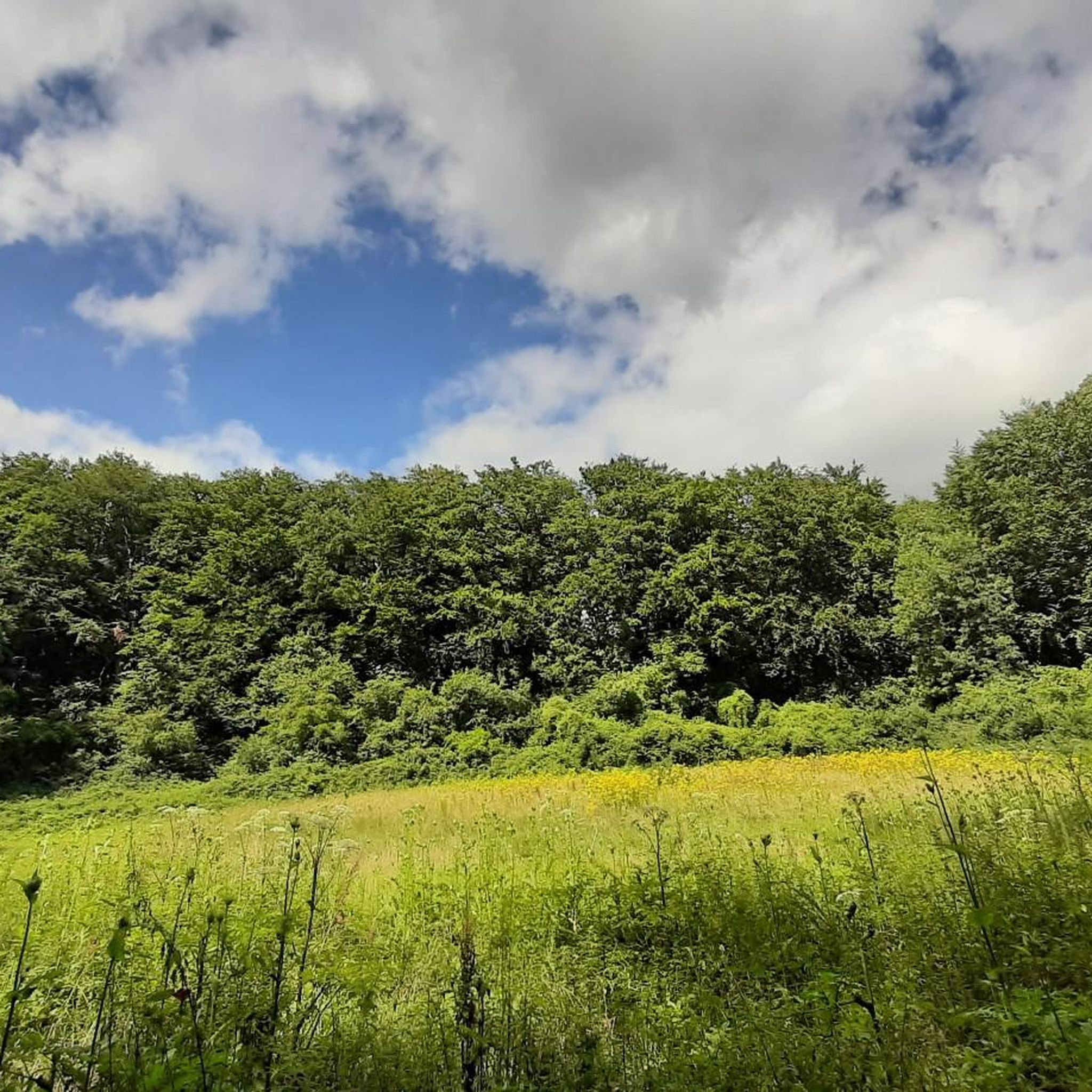
In the Neigembos, nature is allowed to evolve almost spontaneously. The trees can grow old and there is a lot of dead wood. Due to the danger of falling branches, it is important to stay on the paths. There is a rich plant growth: on the more acidic soils you will find mainly bracken, lily of the valley and woodruff. On the more loamy soils, you can enjoy wild hyacinth, wood anemone, wild garlic and yellow dead-nettle in the spring. The western part of the forest reserve, also known as the Vriezenbos, consists of, among other things, a spring forest with typical species such as black alder, common ash, marsh marigold, giant horsetail, bitter cress and the two species of lesser celandine. Enjoy the natural beauty with the help of the three mapped-out walks: the Dikke Beukenwandeling, the Bevingenwandeling and the Groebenwandeling. (Agentschap Natuur en Bos)
9
0

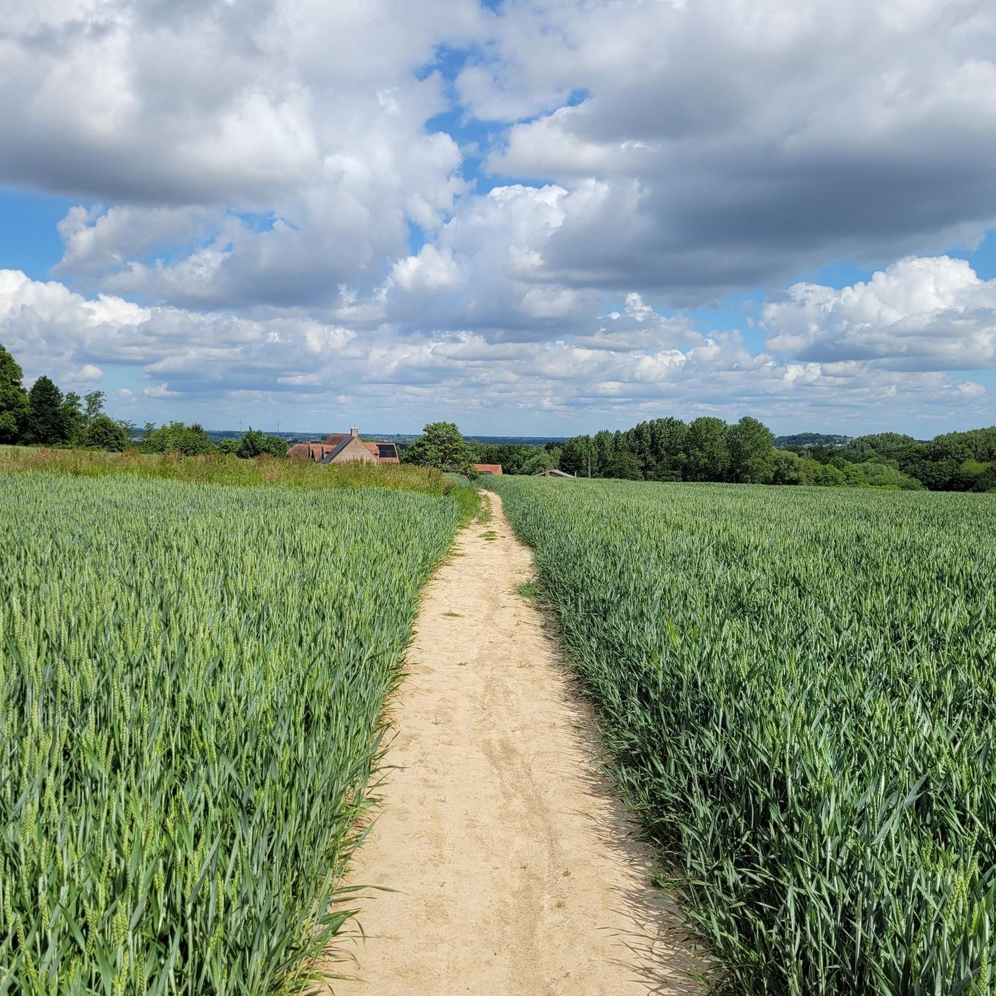
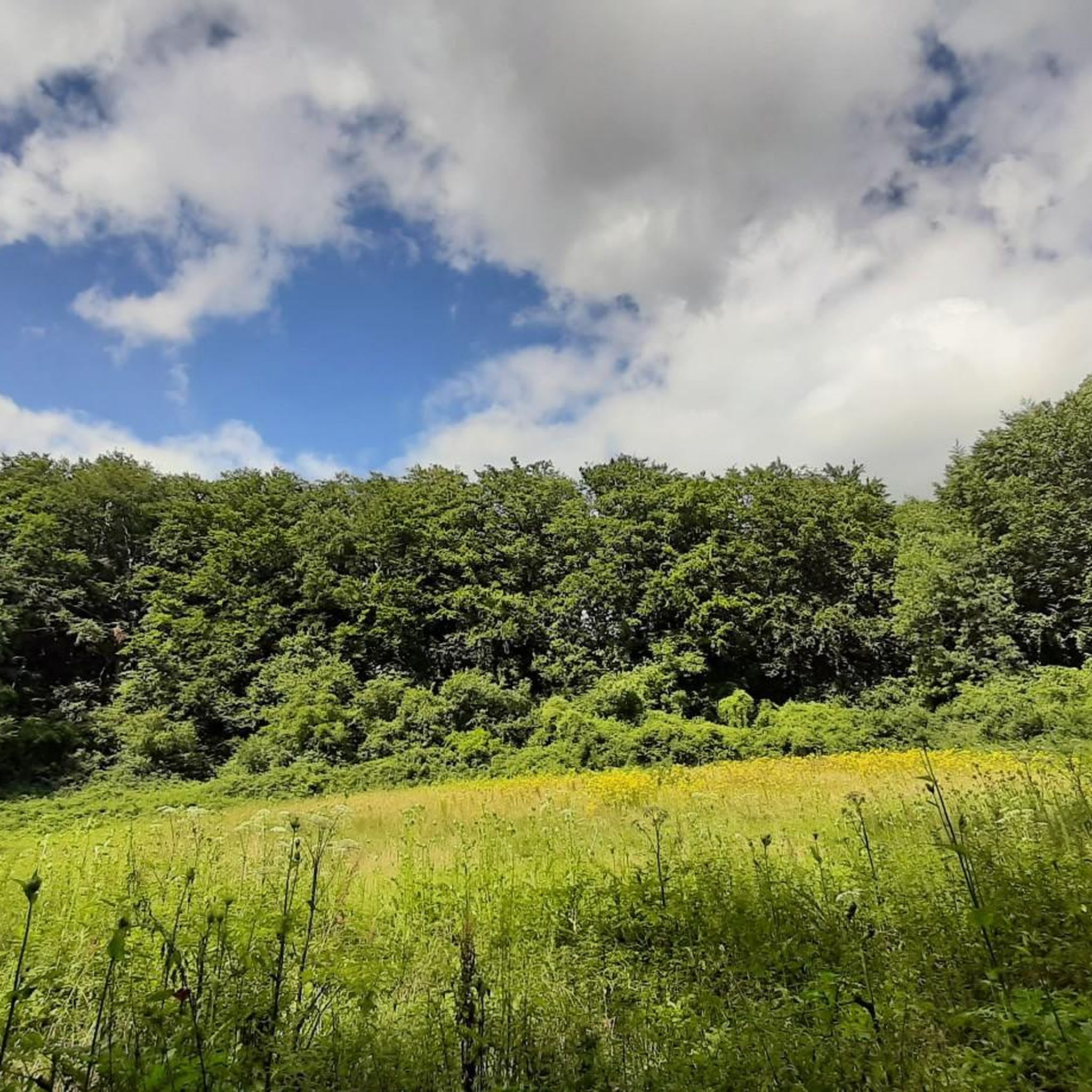
In the beautiful landscape of the Pajottenland you sometimes feel like you're in the paintings of Bruegel. Just enjoy.
4
0
The Woestijnkapel or Chapel of the Holy Cross is located on the Woestijnstraat in Strijland, a hamlet of Gooik. A chapel was built on this site in the 13th century, when a shepherd's dogs found a yellow copper crucifix while digging in the ground. The cross, which must have been made around 1280, quickly became the subject of veneration as a pilgrimage site for pilgrims who came to the Woestijn. The current chapel, however, was only built in 1600, and the unvaulted portal was added in 1713. Inside is a baroque portico altar from 1635 with two Corinthian columns. The chapel has been protected as a monument since 1942. Source: https://www.flickr.com/photos/erfgoed/4952793498
4
0


A sunken road is a road that is so deeply worn that it lies between two slopes. It is the result of centuries of use and erosion. The most beautiful sunken roads can be found especially in hilly areas with a subsoil that easily forms steep walls, such as in Haspengouw and Hageland.
1
1

The Holy Cross Chapel, better known as the Desert Chapel, is located in the Woestijnstraat in Gooik in Flemish Brabant. The chapel was founded in the 13th century, when a shepherd's dogs found a brass crucifix while digging up the ground. This cross, which must have been made around 1280, quickly became the subject of veneration. The current construction of the chapel dates from the 15th and 16th centuries, but was modified in 1758 and recently restored. The chapel consists of a single nave of three bays, preceded by a lower entrance portal with a gable. The Desert Chapel, together with the immediate surroundings, has been listed for more than fifty years. It has been designated as a protected monument since 1942 and as an established architectural heritage in 2021.
13
0
Frequently Asked Questions
How many hiking trails are there in Neigembos?
Neigembos offers a wide variety of hiking experiences, with over 900 routes available on komoot. These range from easy strolls to more challenging paths, ensuring options for all fitness levels.
What is the terrain like in Neigembos?
Neigembos features a varied topography with elevation changes from 20 to 90 meters (65 to 295 feet) above sea level. A distinctive feature is its network of deep "hollow ways" or erosion channels, some of which include a 220-meter-long corduroy road. The forest is dominated by mature beech, oak, and ash trees, with some paths featuring picturesque boardwalks.
What makes Neigembos unique for hiking?
Neigembos is unique for its ancient "hollow ways" formed by meltwater, its status as a protected Natura 2000 area, and its rich biodiversity. It's a remnant of the ancient "Coal Forest," offering a dynamic hiking environment with varied landscapes and unique microclimates.
What is the best time to visit Neigembos for hiking?
While accessible year-round, spring is particularly recommended for the vibrant display of woodland hyacinths, wood anemones, wild garlic, and other wildflowers. The diverse flora changes with the seasons, offering different natural beauty throughout the year.
Are there circular walks available in Neigembos?
Yes, many of the trails in Neigembos are circular, allowing you to start and end at the same point. For example, the Wooden staircase in Neigembos – Hollow Way in Neigembos loop from Neigem is a moderate 13.8 km circular route.
Are there any interesting landmarks or attractions to see while hiking in Neigembos?
Yes, while hiking, you can explore natural features like the Hollow Way in Neigembos and reach the Highest point of Neigembos. Nearby cultural attractions include the historic St. Rita's Chapel and the moated Castle of Neigem.
What kind of wildlife or plants can I expect to see?
Neigembos boasts rich biodiversity. Depending on the season and soil type, you might see wild hyacinths, wood anemones, and wild garlic. Wildlife includes common buzzards, kingfishers, roe deer, brown long-eared bats, common frogs, and various butterflies like the orange-tip and speckled wood.
What do other hikers enjoy most about hiking in Neigembos?
The area is highly rated by the komoot community, with an average score of 4.5 stars from over 3,300 reviews. Hikers often praise the unique hollow ways, the mature ancient forest, and the well-structured trails that cater to different fitness levels.
Are the hiking trails in Neigembos suitable for families with children?
Yes, Neigembos offers many family-friendly options. Over 550 of the available routes are rated as easy, making them suitable for families. The varied landscape and unique features like the corduroy road can make for an engaging experience for children.
Can I bring my dog on the hiking trails in Neigembos?
Neigembos is generally dog-friendly, allowing you to enjoy the trails with your canine companion. However, it's always recommended to keep dogs on a leash to protect the local wildlife and ensure a pleasant experience for all visitors.
Where can I park when visiting Neigembos?
Parking facilities are available near the entrances to Neigembos. Specific parking areas are often indicated on local signage or can be found by checking maps for the main access points to the forest.
How can I reach Neigembos using public transport?
While Neigembos is primarily accessed by car, public transport options to nearby towns like Ninove are available. From there, local buses or a short taxi ride may be necessary to reach the forest entrances. It's advisable to check local bus schedules for the most up-to-date information.
What is the difficulty level of hikes in Neigembos?
Neigembos offers a range of difficulties. Over 550 routes are easy, 337 are moderate, and 38 are considered difficult. This variety ensures that both casual walkers and more experienced hikers can find suitable trails, with some featuring 'tough slopes' and elevation changes.
Most popular routes around Neigembos
Most popular attractions around Neigembos

Get inspired with the komoot mobile app


Explore more
Browse the best Hikes in other regions.
