The best walks and hikes around Drackenstein
4.5
(15301)
56,180
hikers
978
hikes
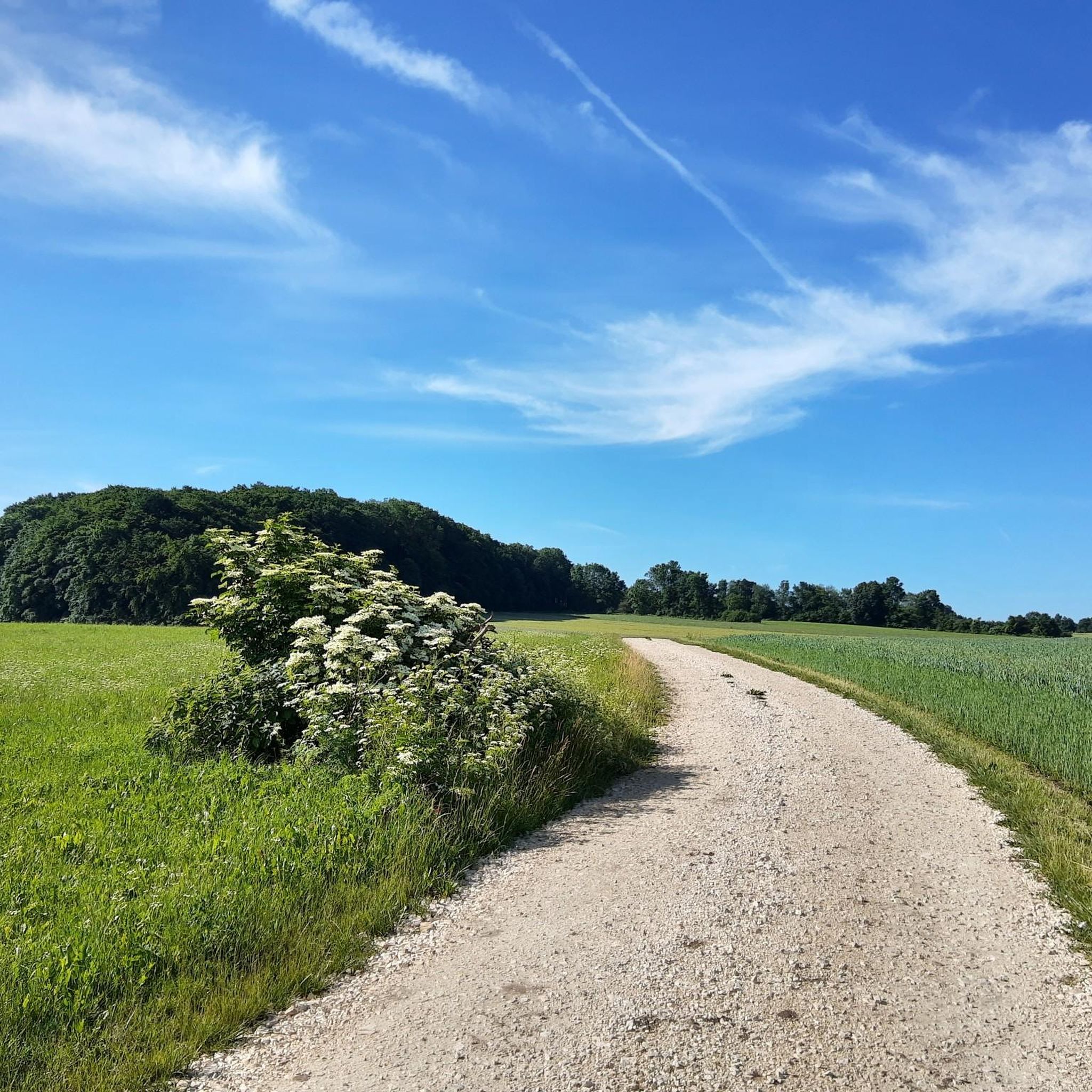
Hiking around Drackenstein is defined by its location on the high plateau of the Swabian Jura, featuring dramatic escarpments and varied terrain. The region offers extensive forests, serene streams, and expansive views over the Fils Valley. Hikers can explore paths along the Lauter River and discover unique moor environments, such as the Schopfloch peat bog. This landscape provides a range of trails suitable for various fitness levels.
Best hiking trails around Drackenstein
- The most popular hiking route is Hiltenburg Castle…
Last updated: November 11, 2026
4.6
(89)
281
hikers
11.4km
03:17
260m
260m
Moderate hike. Good fitness required. Easily walkable paths.
4.8
(80)
231
hikers
Hard hike. Very good fitness required. Easily walkable paths.

4.3
(18)
77
hikers
7.19km
02:01
140m
140m
Moderate hike. Good fitness required. Mostly walkable paths. Sure-footedness required.
4.7
(7)
20
hikers
5.57km
01:30
70m
70m
Easy hike. Easily walkable paths.
4.5
(11)
44
hikers
2.96km
00:50
60m
60m
Easy hike. Easily walkable paths.
Get access to more routes and recommendations from other explorers.
Already have an account?
Our route recommendations are based on thousands of hikes, rides, and runs completed by other people on komoot.
Start today with a free account
Your next adventure awaits.

Tips from the Community

Much more asphalt than stated. Longer section along the road. Often very noisy due to the motorway. Not recommended.
0
0

Sit on the rocks and watch the train traffic on the ICE line.
1
0
Information about the shaft, including interior shots, can be found here: https://www.68erclimbers.de/Hoehlenbefahrung/TodsburgerSchacht/TodsburgerSchacht.html
1
0
Information about the cave including interior shots can be found here: https://www.68erclimbers.de/Hoehlenbefahrung/TodsburgerSchacht/TodsburgerSchacht.html
1
0


The route goes under the A8 motorway viaduct.
0
0
An impressive feat of modern engineering. The bridge spans the Fils Valley at a dizzying height and is one of the most famous railway viaducts in the Swabian Alps. Spectacular views can be enjoyed from the surrounding cliffs.
2
0
Old inn. Unfortunately, I couldn't see if they still serve food and drinks.
0
0
Frequently Asked Questions
How many hiking trails are available in Drackenstein?
Drackenstein offers a vast network of hiking opportunities, with nearly 900 trails to explore. These routes cater to various preferences, from leisurely strolls to more challenging ascents across the diverse landscape of the Swabian Jura.
Are there easy hiking options suitable for beginners or families?
Yes, Drackenstein has over 450 easy hiking routes perfect for beginners or families. A great example is the Tierstein loop from Drackenstein, which is a gentle 3.5-mile path through varied terrain. The region also features the 'Fairytale Forest Trail,' a popular option for children to discover various characters playfully.
Can I find challenging hikes in the Drackenstein area?
Absolutely. For those seeking a more strenuous adventure, Drackenstein offers nearly 40 difficult routes. One such challenging path is the View of the Upper Filstal Valley – View of Bad Ditzenbach loop from Drackenstein, an 11.3-mile route providing extensive views and requiring a good level of fitness.
What natural features or landmarks can I expect to see while hiking?
Hiking in Drackenstein allows you to experience the impressive Alb plateau, dramatic escarpments of the Albtrauf, and serene forest trails. You can discover the picturesque Drackensteiner Steige, explore the Kahlenstein Viewpoint for panoramic vistas, or visit the historic Drachenstein Castle Ruin perched majestically on a rock. The area also features unique moor environments and natural springs, such as the Source of the Fils.
Are there any waterfalls to visit in the Drackenstein region?
Yes, the Neidlingen Waterfall is a notable natural attraction in the region. It offers a rewarding ascent, though the path can be steep and rooted, especially after rain, providing a picturesque natural spectacle.
Are there any circular hiking routes available?
Many of Drackenstein's trails are designed as circular routes, allowing you to start and end at the same point. An excellent option is the Hiltenburg Castle Ruins – View of Bad Ditzenbach loop from Drackenstein, which is a moderate 7.1-mile trail leading to historic ruins with valley views.
What is the best time of year to go hiking in Drackenstein?
The best seasons for hiking in Drackenstein are spring, when nature awakens with vibrant greenery, and autumn, which offers picturesque colorful foliage across the landscape. Both seasons provide pleasant temperatures and stunning scenery.
Where can I find parking for hiking trails in Drackenstein?
Parking is generally available at the starting points of many popular trails around Drackenstein. Look for designated 'Wanderparkplatz' (hiking parking) signs in and around the villages, which often provide convenient access to the trailheads.
Is public transport available to reach hiking starting points?
While specific routes may vary, public transport options like local buses connect Drackenstein with surrounding towns. It's advisable to check local bus schedules to plan your journey to specific trailheads, as direct access to all starting points might require a short walk or a combination of transport.
Are there places to stop for a rest or food along the trails?
Yes, hikers can find places to rest and refuel. The Wasserberghaus, located at the eastern end of the Wasserberg, serves as a great rest stop with wide views, offering dining and even overnight stays. Additionally, the Source of the Fils provides an idyllic spot for picnics.
What do other hikers say about the trails in Drackenstein?
The hiking trails in Drackenstein are highly rated by the komoot community, with an average score of 4.6 stars from over 13,000 reviews. Hikers often praise the diverse terrain, the expansive views over the Fils Valley, and the well-maintained paths that lead through dense forests and past historical sites like castle ruins.
Are there any viewpoints offering panoramic vistas?
Drackenstein is renowned for its numerous viewpoints. From vantage points like the Wasserberghaus, you can take in wide views of the Filstal (Fils Valley) and the 'Drei Kaiserberge' (Three Emperor Mountains). The View of the Alb Plateau – Tierstein Viewpoint loop from Drackenstein also offers stunning panoramas.
Can I explore historical sites while hiking in Drackenstein?
Yes, the region is rich in historical sites that can be incorporated into your hikes. The Drachenstein Castle Ruin and Reußenstein Castle are prominent examples, offering not only historical interest but also breathtaking views over the valleys. Many trails lead directly to or past these impressive ruins.
Most popular routes around Drackenstein
Most popular attractions around Drackenstein

Get inspired with the komoot mobile app


Explore more
Browse the best Hikes in other regions.
