The best running trails around Bluntautal
4.6
(60)
2,114
runners
125
runs
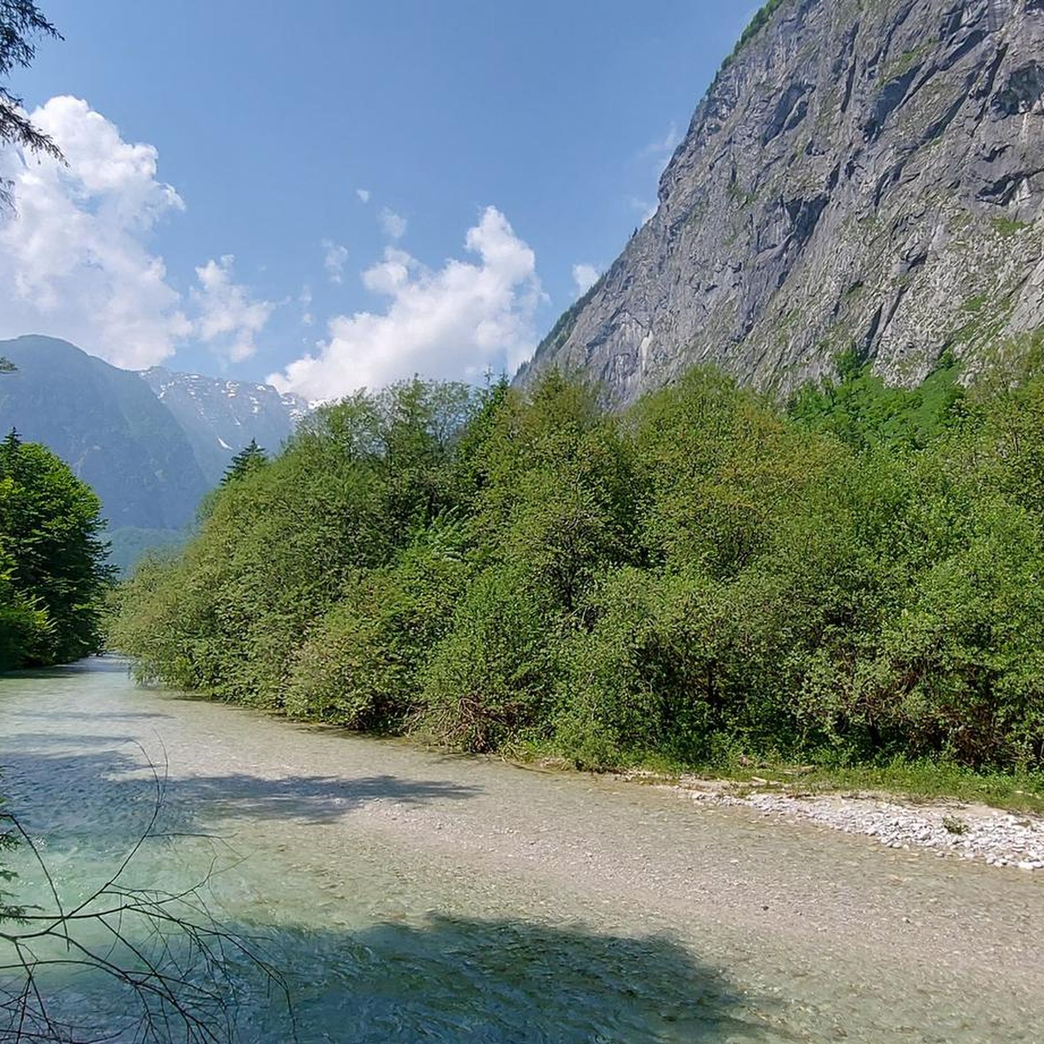
Jogging around Bluntautal offers an immersive experience through a protected nature reserve characterized by its emerald-green lakes and the crystal-clear Torrener Ache river. The valley floor presents a relatively flat terrain with minor elevation changes, making it suitable for sustained running. Majestic mountain ranges, including the Göllstock and Hagen Mountains, frame the valley, providing a scenic backdrop to the routes. This blend of gentle paths and impressive natural features creates an ideal environment for outdoor activity.
Best jogging routes around Bluntautal
- The most popular jogging route is Oberer Bluntausee – Lakes Bluntau loop from Golling an der Salzach, a 5.6 miles (9.0 km) trail that takes about 55 minutes to complete. This moderate route circles the pristine Bluntausee lakes, offering views of the clear waters.
- Another top favourite among local runners is Snowy Wooden Bridge – Arm Bath at Homad loop from Golling an der Salzach, a moderate 4.6 miles (7.3 km) path. This route follows the Torrener Ache river through forest trails, providing a tranquil running experience.
- Local runners also love the View of Golling loop from Golling an der Salzach, a 2.7 miles (4.3 km) trail leading through the scenic area around Golling, often completed in about 27 minutes.
- Jogging around Bluntautal is defined by emerald-green lakes, crystal-clear rivers, and gentle valley terrain. The network offers options for different ability levels, from easy loops to more challenging routes with greater elevation.
- The routes in Bluntautal are highly rated by the komoot community with an average score of 4.6 stars from over 50 reviews. More than 1,800 runners have used komoot to explore Bluntautal's varied terrain.
Last updated: October 5, 2026
5.0
(4)
114
runners
Moderate run. Good fitness required. Mostly paved surfaces. Suitable for all skill levels.
5.0
(1)
21
runners
27.0km
03:47
1,260m
1,260m
Hard run. Very good fitness required. Sure-footedness, sturdy shoes and alpine experience required.

3.0
(2)
54
runners
Moderate run. Good fitness required. Mostly paved surfaces. Suitable for all skill levels.
22
runners
Moderate run. Good fitness required. Mostly paved surfaces. Suitable for all skill levels.
12
runners
7.88km
00:50
70m
70m
Moderate run. Good fitness required. Mostly paved surfaces. Suitable for all skill levels.
Get access to more routes and recommendations from other explorers.
Already have an account?
Our route recommendations are based on thousands of hikes, rides, and runs completed by other people on komoot.
Start today with a free account
Your next adventure awaits.
Tips from the Community

Look, enjoy and admire the idyllic natural beauty.
1
0

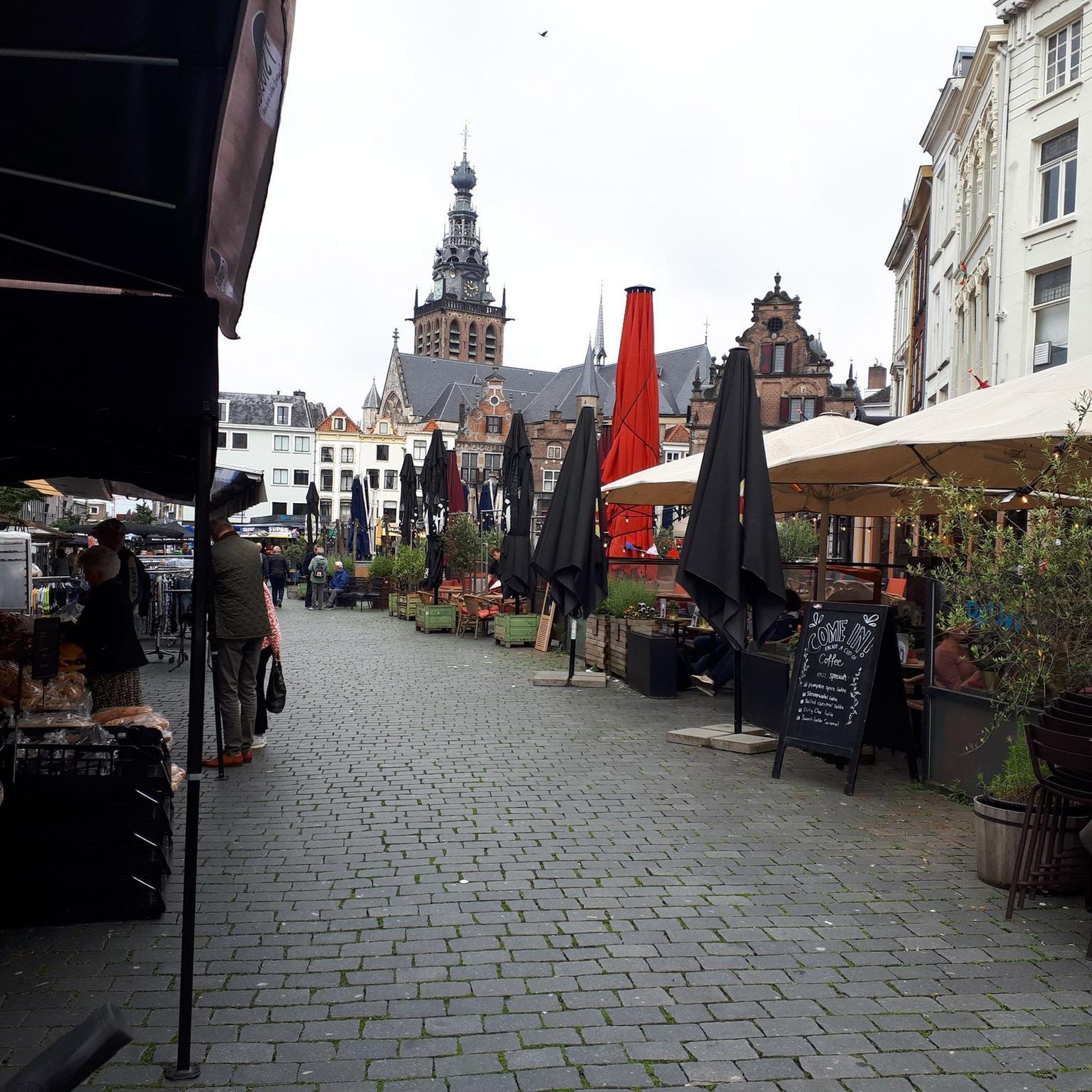
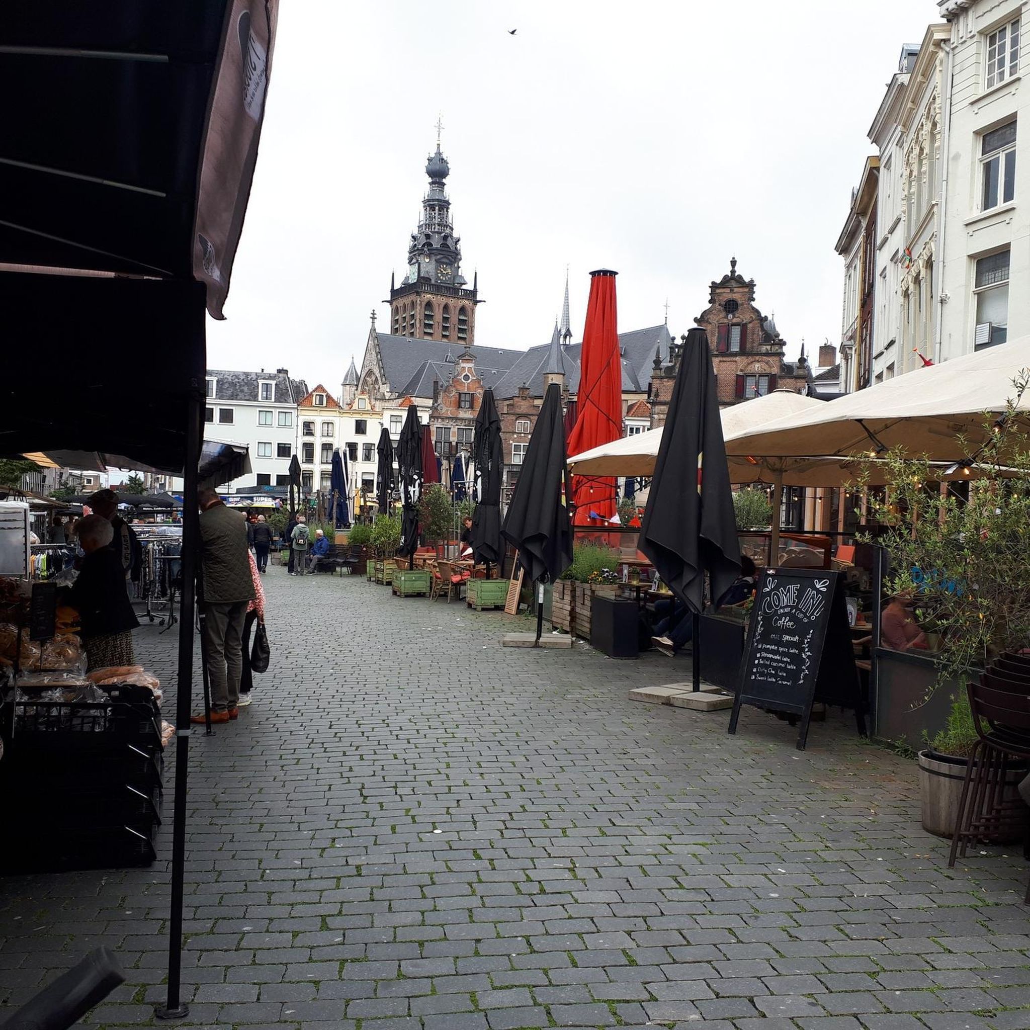
Cyclists approaching the town of Golling are greeted by the imposing Golling Castle, perched high above the town on a rock. The ascent to the town center leads through a picturesque valley of green meadows, orchards, and quiet roads, along which the Salzach River winds its way. The town is surrounded by the majestic peaks of the Tennengebirge and the Berchtesgaden Alps, which impressively frame the valley. From a relaxed bike ride, you can enjoy the diverse landscape before taking a break in the town or at the foot of the castle. From here, impressive views of the medieval fortress and the valley open up, making the visit a special experience for cyclists.
0
0

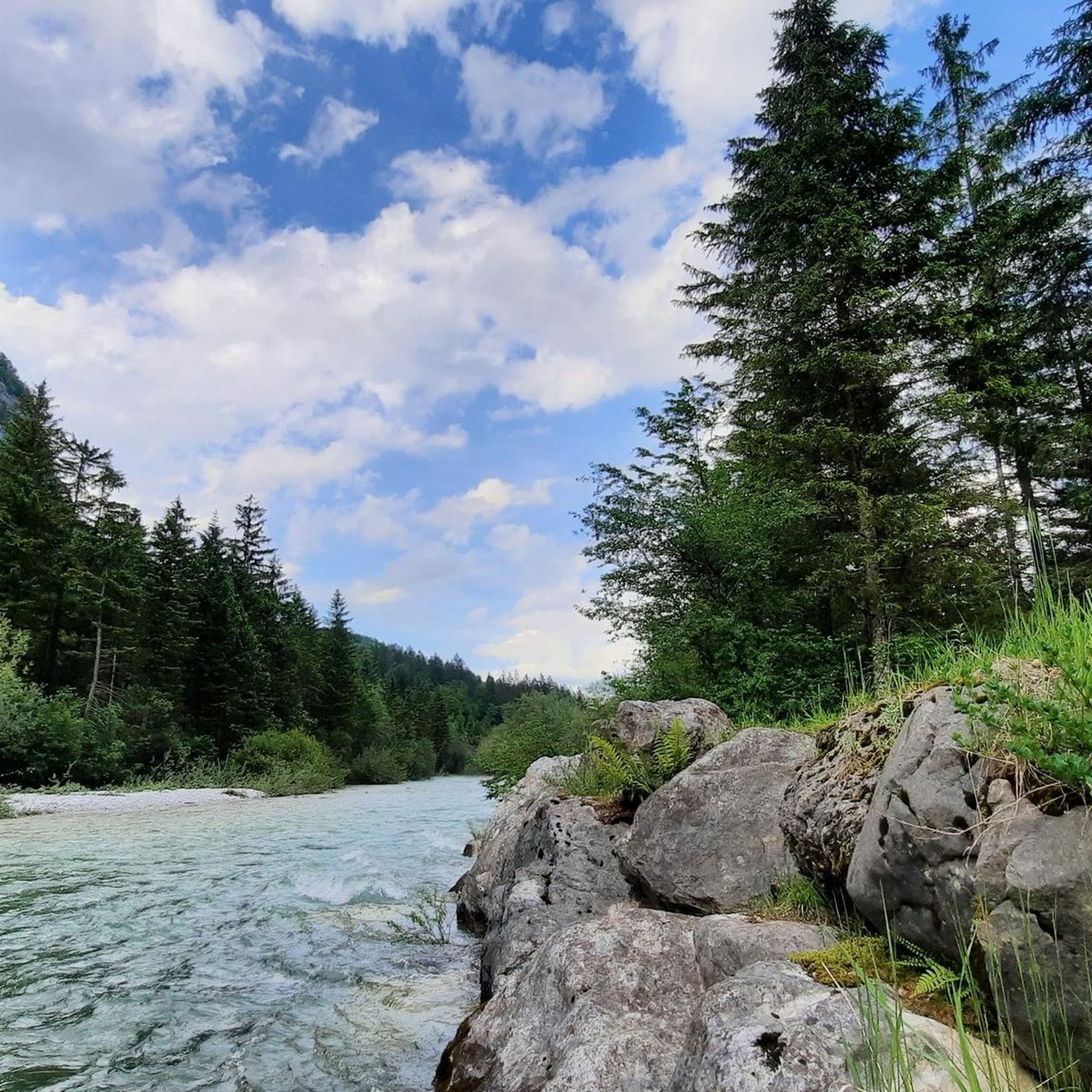
An insider tip for relaxation. Crystal-clear water at the lake
0
0
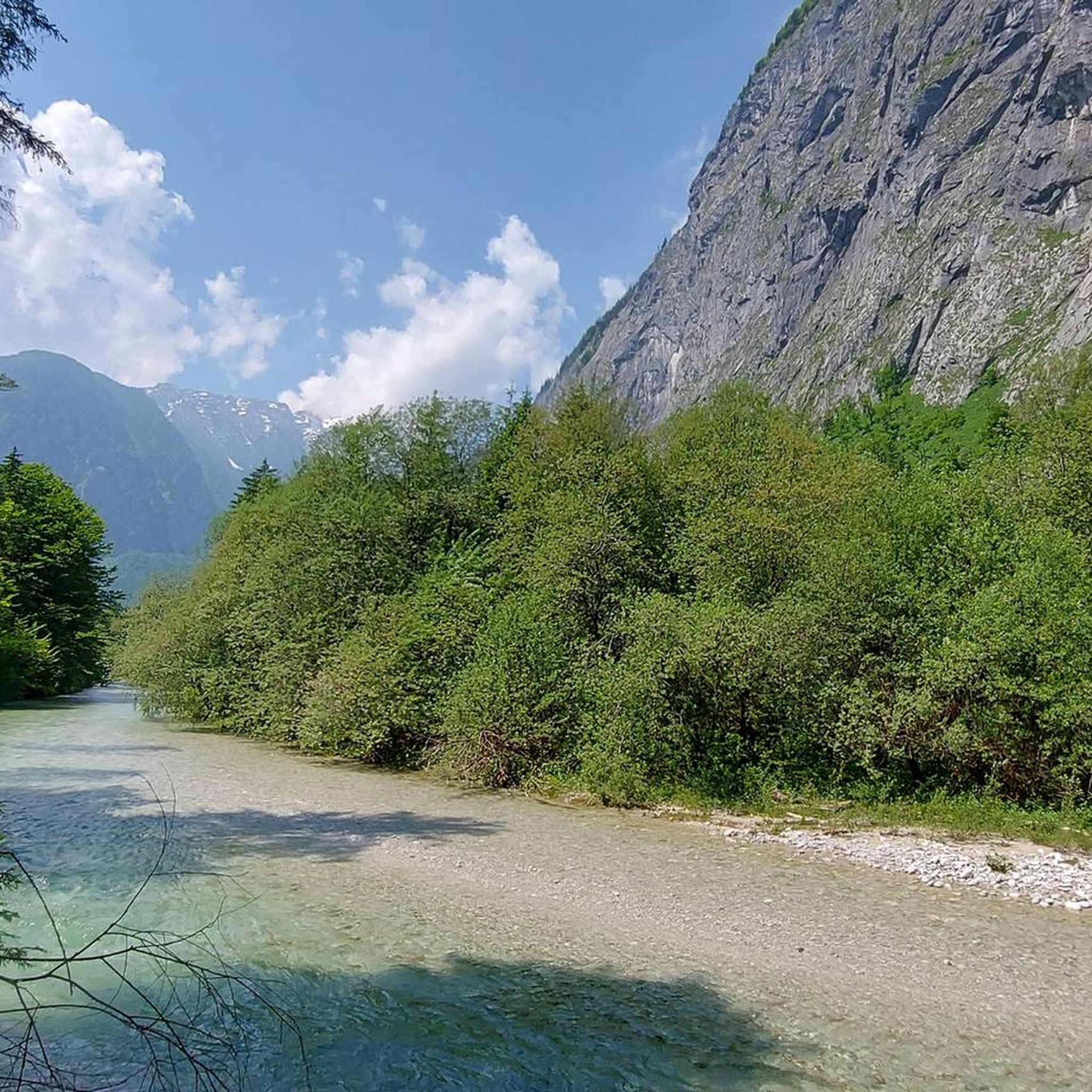
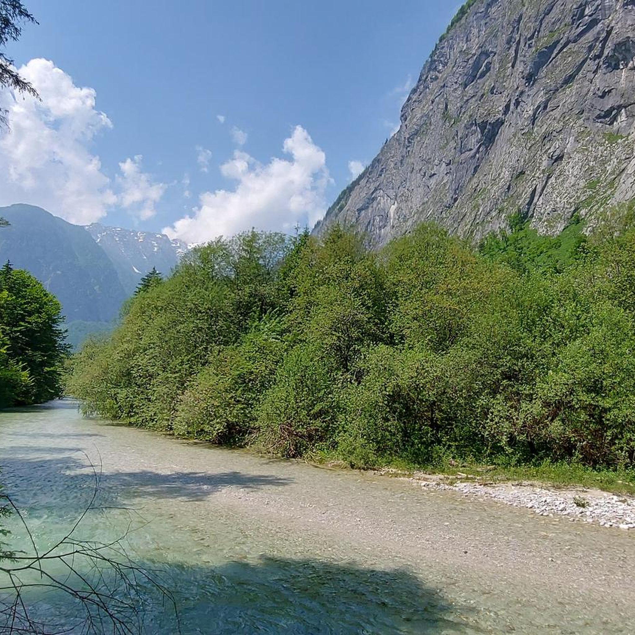
A beautiful, idyllic valley in Salzburger Land, near Golling an der Salzach, is characterized by its impressive natural beauty and soothing tranquility. Nestled in the majestic mountains, it delights with crystal-clear water, lush green meadows, dense forests, and a virtually untouched landscape. Its exceptionally peaceful atmosphere is ideal for nature lovers and those seeking relaxation. Trails lead through the valley and further into the surrounding mountains – from leisurely tours to more challenging routes.
2
0


A true pleasure in nature - a feast for the eyes and the soul.
2
0

Golling is 82.18 km² in size, located at 476 m above sea level in the Salzach Valley
6
0

Frequently Asked Questions
What is the general terrain like for running in Bluntautal?
Bluntautal is characterized by a relatively flat valley floor with only minor elevation changes, especially in its lower sections. This makes the trails accessible and enjoyable for a wide range of fitness levels, ideal for sustained running without strenuous climbs. You'll find gentle walking paths and forest trails, often following the crystal-clear Torrener Ache river.
Are there running routes suitable for beginners or those looking for an easy jog?
Yes, Bluntautal offers several easy running routes. For instance, the Bluntauseen – Snowy Wooden Bridge loop from Torren is an easy 2.5-mile (4.0 km) trail that leads through the scenic lake area, perfect for a relaxed run. Overall, there are 14 easy routes available in the region.
What natural features or landmarks can I see while running in Bluntautal?
The Bluntautal is rich in natural beauty. You'll encounter the stunning emerald-green Lakes Bluntau and the crystal-clear Torrener Ache river. The valley is cradled by majestic mountain ranges like the Göllstock and Hagen Mountains, providing a breathtaking backdrop. You might also spot the Bluntau waterfall within the valley.
Are there any longer or more challenging running trails for experienced runners?
Yes, for those seeking a greater challenge, Bluntautal also offers more demanding routes. An example is the Snowy Wooden Bridge – Arm Bath at Homad loop from Torren, a difficult 14.3-mile (22.9 km) route with significant elevation changes. In total, there are 26 difficult routes in the area for experienced runners.
Can I bring my dog on the running trails in Bluntautal?
Bluntautal is a protected nature reserve, and generally, dogs are welcome on trails, but it's crucial to keep them on a leash to protect the local wildlife and ensure a pleasant experience for all visitors. Always check local signage for specific rules on individual paths.
Is Bluntautal suitable for family runs or runs with a stroller?
Yes, the gentle and relatively flat valley terrain, especially in the lower sections, makes Bluntautal very family-friendly. Many trails are suitable for leisurely walks or jogs with children, and some are even stroller-friendly, allowing families to enjoy the natural beauty together.
What do other runners say about the running routes in Bluntautal?
The running routes in Bluntautal are highly rated by the komoot community, with an average score of 4.6 stars from over 40 reviews. Runners often praise the pristine environment, the clear waters of the lakes and river, and the serene, picturesque landscapes that make for an immersive outdoor experience.
Are there circular running routes available in Bluntautal?
Yes, many of the running routes in Bluntautal are designed as loops, offering varied scenery without retracing your steps. A popular example is the Oberer Bluntausee – Lakes Bluntau loop from Golling an der Salzach, which circles the pristine Bluntausee lakes.
How can I get to Bluntautal using public transport?
Bluntautal is easily accessible from Golling an der Salzach. You can take a bus from Golling-Abtenau train station directly towards Bluntautal. Alternatively, it's also possible to walk from the station to the valley, offering a scenic approach to the running trails.
Are there parking facilities available near the running trails?
Yes, there are parking facilities available at the entrance to Bluntautal, making it convenient for those who prefer to drive. From the parking areas, you can easily access the network of trails that lead into the valley and around the lakes.
When is the best time of year to go running in Bluntautal?
Bluntautal offers a beautiful running experience throughout much of the year. Spring and autumn provide pleasant temperatures and vibrant scenery, while summer allows for refreshing runs by the clear waters. Even in winter, the snow-covered landscape can be magical, though some trails might require appropriate gear or be less accessible.
Are there any places to eat or drink near the running routes in Bluntautal?
Yes, within the Bluntautal valley and in the direct vicinity, you can find options for refreshments. There are traditional inns and cafes where you can enjoy local cuisine and drinks after your run, particularly in the nearby town of Golling an der Salzach.
Most popular routes around Bluntautal
Most popular attractions around Bluntautal

Get inspired with the komoot mobile app


Explore more
Browse the best Running Trails & Routes in other regions.
