The best mountain hikes around Finonchio
4.8
(71)
582
hikers
6
hikes
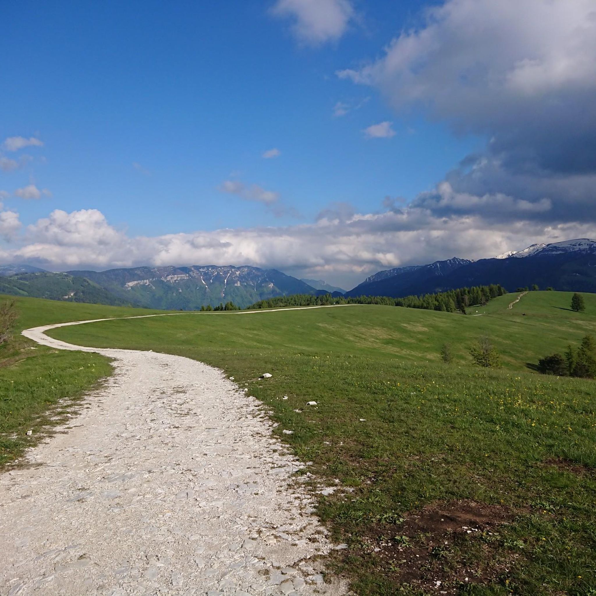
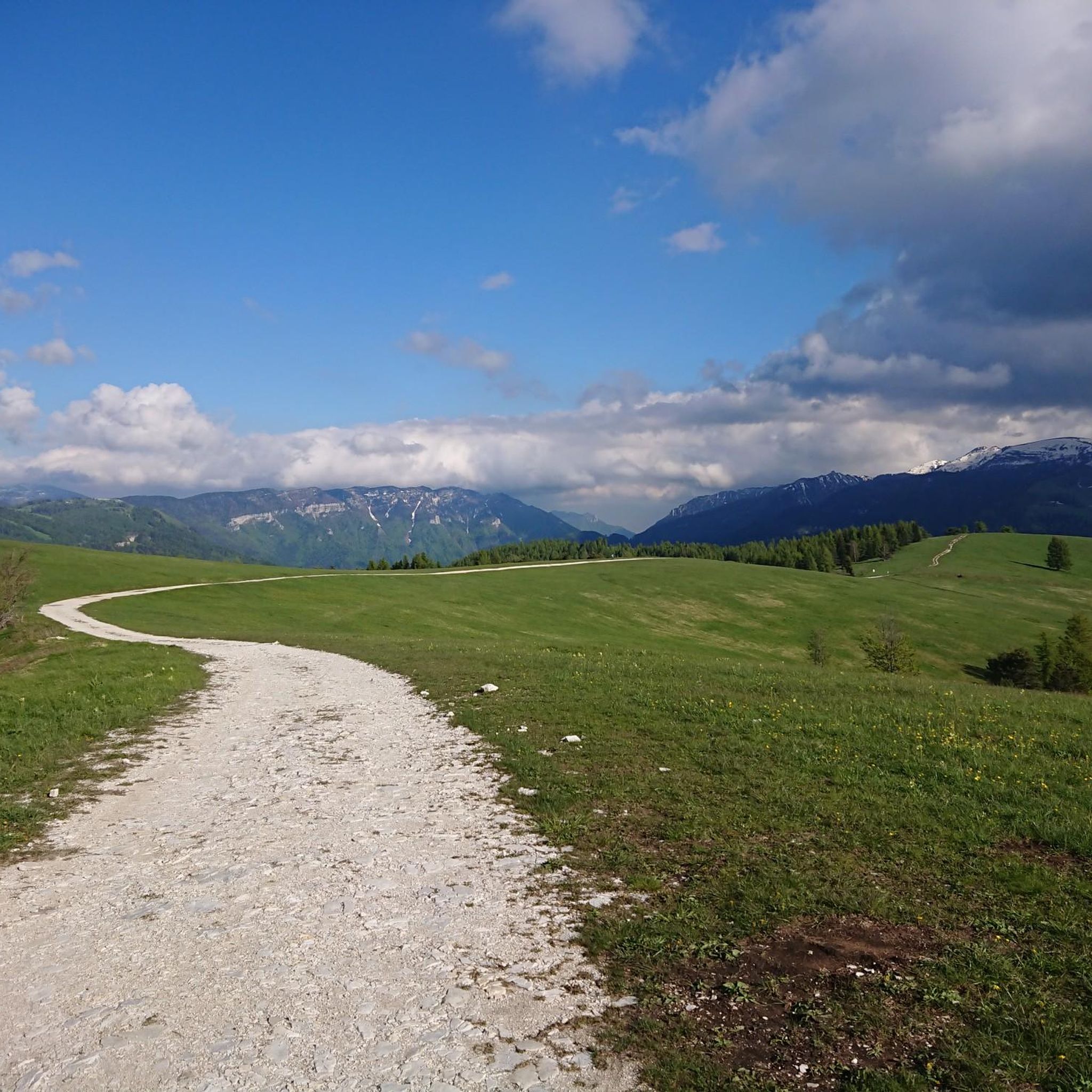
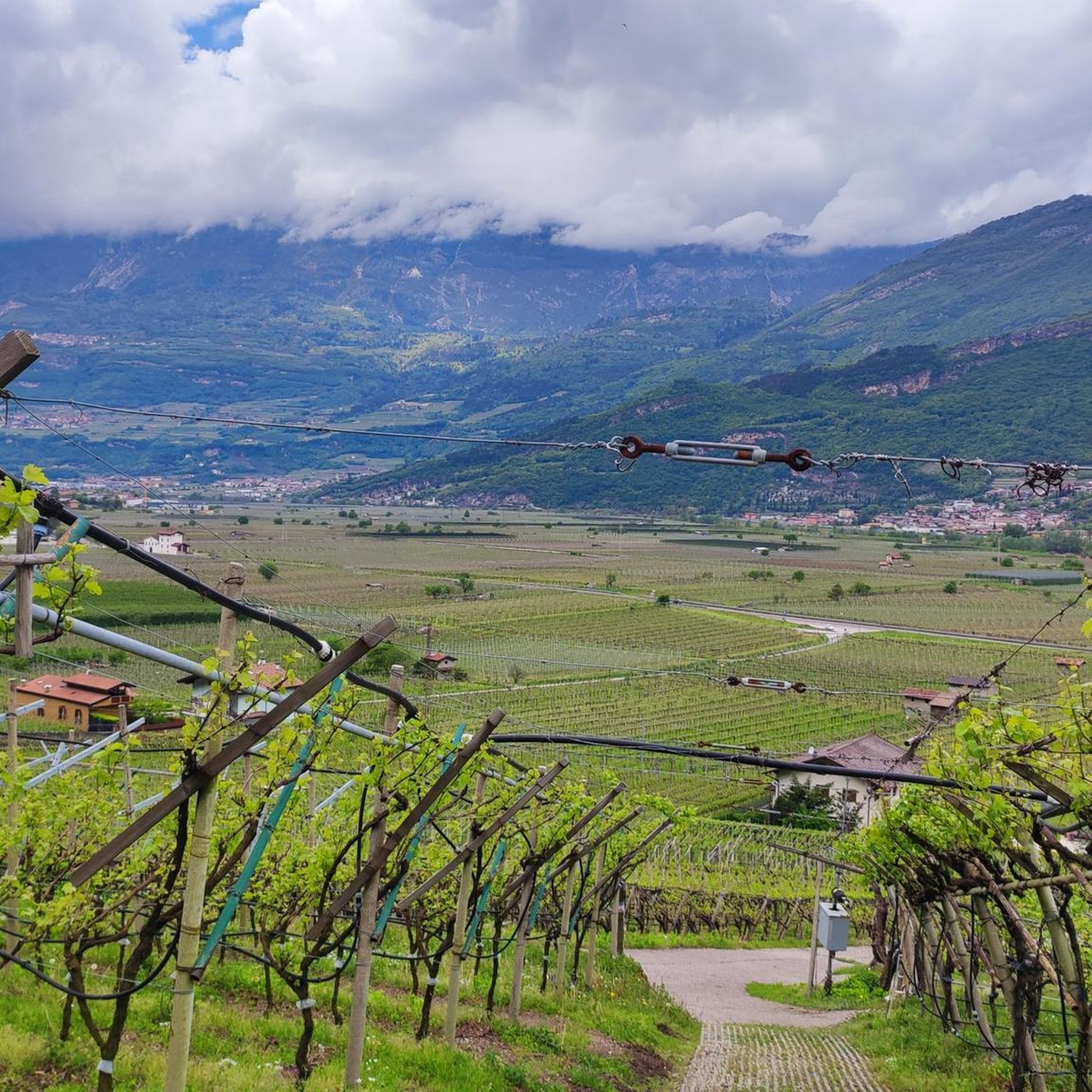
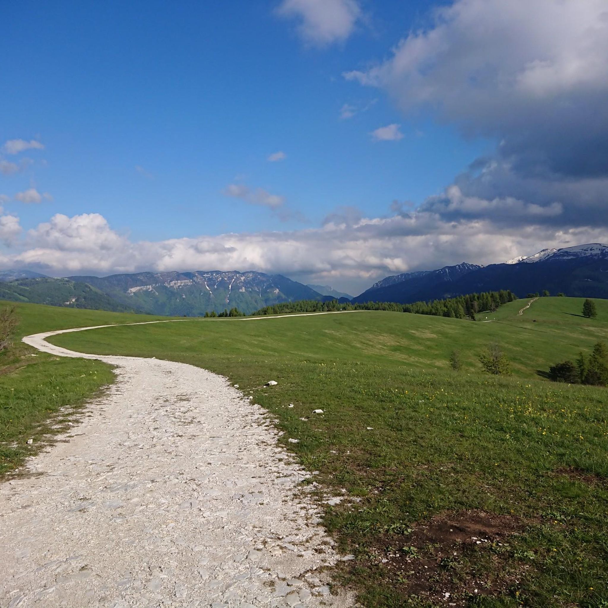
Mountaineering routes around Finonchio, located at 1,608 meters above sea level in Trentino, Italy, offer diverse terrain for outdoor enthusiasts. The region is characterized by refreshing forests that transition into vast, peaceful summit meadows. From its peak, Monte Finonchio provides 360-degree panoramic views encompassing prominent mountains like Monte Pasubio and the expansive Adige Valley. This varied landscape includes both challenging ascents and more accessible paths.
Best mountaineering routes around Finonchio
- The most popular mountaineering route is Trail in the Gorge…
Last updated: July 19, 2026
6
hikers
12.6km
04:39
660m
660m
Moderate mountaineering route. Good fitness required. Mostly accessible paths. Sure-footedness required.
4.9
(31)
300
hikers
4.91km
02:27
430m
430m
Hard mountaineering route. Good fitness required. Sure-footedness, sturdy shoes and alpine experience required.

Sign up for free
5.0
(1)
5
hikers
5.28km
02:41
440m
440m
Hard mountaineering route. Good fitness required. Sure-footedness, sturdy shoes and alpine experience required.
4.3
(4)
7
hikers
10.9km
05:12
770m
770m
Hard mountaineering route. Very good fitness required. Mostly accessible paths. Sure-footedness required.
5.0
(1)
3
hikers
11.2km
04:36
680m
680m
Hard mountaineering route. Good fitness required. Sure-footedness, sturdy shoes and alpine experience required.
Our route recommendations are based on thousands of hikes, rides, and runs completed by other people on komoot.
Start today with a free account
Your next adventure awaits.
Login or Signup
Tips from the Community

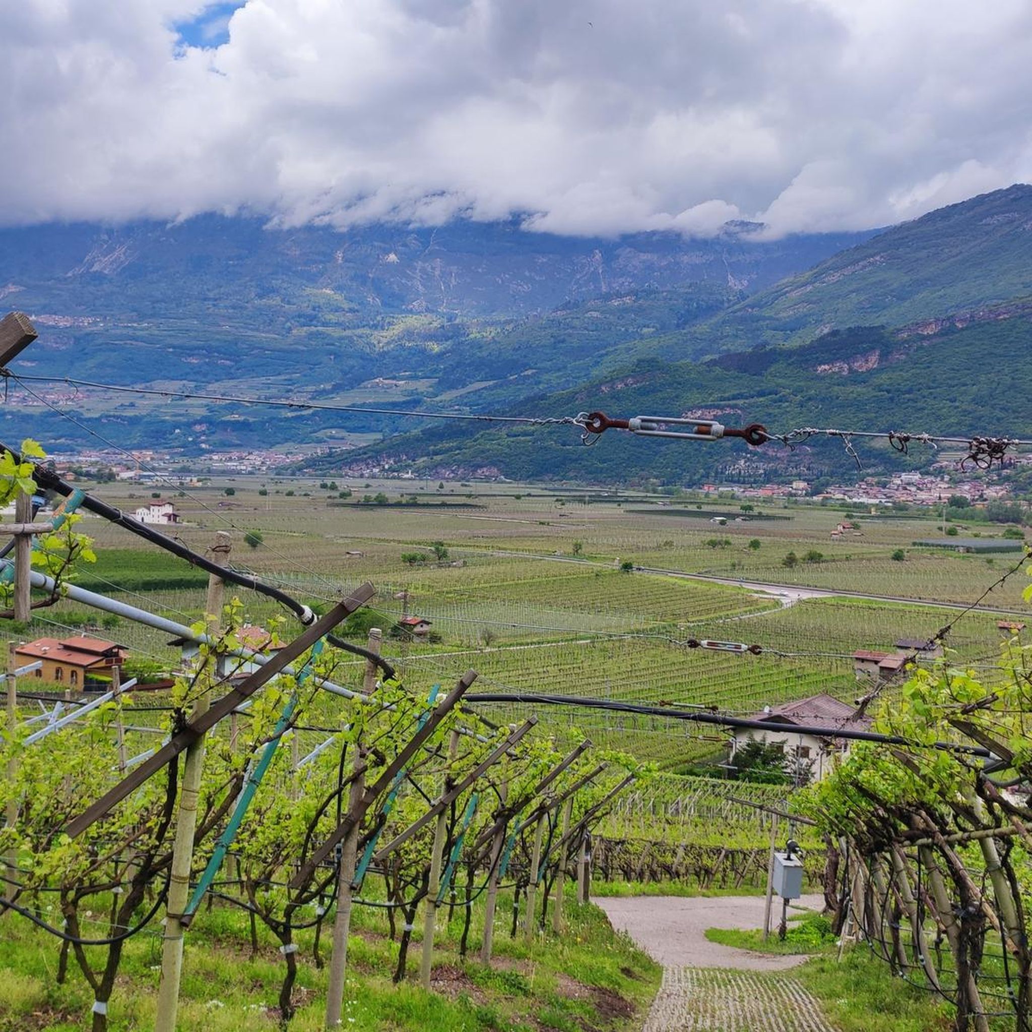
Cozy refuge for a stop to regain energy. Located in a beautifully sized alpine meadow. Starting point for hikes and e-bike tours.
0
0

Kiosk with WC available. Drinking fountain also present. The local bouldering community obviously meets here.
0
0
Please be sure to read a via ferrata description beforehand. You are also welcome to read my Komoot tour description. Not for beginners (C/D) and without an emergency exit. Otherwise, it is extremely beautiful and recommended. Including ascent and descent, the adventure takes about 4 hours.
0
0

Beautiful trail for returning from the via ferrata, always in the woods. In the sections free of vegetation, the view over the valley is magnificent. It is constantly kept in order and clean by deserving volunteers. Well done!
0
0

Beautiful and unique night view.
0
0

Beautiful sanctuary with a view of the Mori plain. In the surrounding area there are large grassy spaces, equipped with picnic benches. The boulders present are widely used by enthusiasts for short climbs.
0
0
Beautiful panoramic point at the arrival of the via ferrata.
0
0
Frequently Asked Questions
Are there mountaineering routes suitable for beginners around Finonchio?
While Finonchio offers a range of routes, the guide primarily features moderate to difficult mountaineering trails. For those new to mountaineering, routes like the Trail in the Gorge loop from Piazza are rated moderate and provide a good introduction to the varied terrain, including refreshing forests and natural gorges.
What are some more challenging mountaineering routes in the Finonchio area?
For experienced mountaineers seeking a challenge, Finonchio has several difficult routes. One such option is the Montalbano Sanctuary – Via Ferrata Monte Albano loop from Mori, which includes a via ferrata section. Another demanding route is the Rifugio Stivo "P. Marchetti" – Cima Valdritta Summit Cross loop from Patone, offering significant elevation gain and panoramic views.
How long do mountaineering routes around Finonchio typically take?
The duration of mountaineering routes in Finonchio varies depending on the length and difficulty. For example, the moderate Scenic balcony – Montalbano Sanctuary loop from Mori can be completed in about 2 hours 28 minutes, while longer routes like the Case di Pietra – Rifugio Vincenzo Lancia loop from Pozza typically take around 4 hours 38 minutes.
Are there family-friendly mountaineering options around Finonchio?
Yes, Monte Finonchio is known for offering easy and panoramic excursions that are ideal for families with children and casual walkers. These routes often traverse cool forests and open up to alpine meadows, providing opportunities to observe local wildlife. While specific 'easy' mountaineering routes are not detailed in this guide, the region's overall character supports family-friendly outdoor activities.
Can I bring my dog on mountaineering routes in Finonchio?
Generally, dogs are welcome on many trails in the Trentino region, including those around Finonchio. However, it's always advisable to keep dogs on a leash, especially in areas with livestock or protected wildlife. Ensure your dog is fit enough for the chosen route and carry enough water for both of you.
What scenic views can I expect on mountaineering routes around Finonchio?
Mountaineering routes around Finonchio offer spectacular 360-degree panoramic views from its 1,608-meter summit. You can expect to see prominent peaks such as Monte Pasubio, Monte Altissimo, Monte Stivo, Bondone, and the expansive Adige Valley. The routes often transition from refreshing forests to vast, peaceful summit meadows, providing diverse and beautiful vistas.
Are there any historical sites or landmarks to explore while mountaineering?
Yes, the Finonchio area has significant historical value. A notable attraction is the Sentiero della Forra del Lupo (Wolf's Gorge Trail), which winds through WWI trenches carved into the rock. The eerie, wolf-like howling sounds created by the wind in the narrow gorges add to the unique experience.
Are there any waterfalls along the mountaineering routes?
While the primary focus of mountaineering routes is the summit and panoramic views, the broader Finonchio area is home to several beautiful waterfalls. You might consider visiting the Zambèl Waterfall, Hofentol Waterfall, or the Rio Mous Waterfalls, which are nearby attractions.
Is there a mountain hut for refreshments on the routes?
Yes, the Finonchio Fratelli Filzi Mountain Hut (Rifugio Finonchio Fratelli Filzi) is situated at an altitude of 1581 meters. It offers refreshments and a place to rest, making it a popular destination or stopover on many trails. You can find more information about the hut on Visit Trentino.
Are there circular mountaineering routes available in Finonchio?
Yes, many of the mountaineering routes around Finonchio are designed as loops, allowing you to start and end at the same point. Examples include the Trail in the Gorge loop from Piazza and the Case di Pietra – Rifugio Vincenzo Lancia loop from Pozza, offering varied terrain and scenic views.
What is the best time of year for mountaineering in Finonchio?
The best time for mountaineering in Finonchio is typically from late spring through early autumn (May to October), when the weather is generally mild and the trails are clear of snow. During these months, you can fully enjoy the refreshing forests and vast summit meadows. Always check local weather conditions before heading out.
How can I reach the trailheads using public transport?
While specific public transport details for each trailhead are not provided in this guide, the Finonchio area is accessible. Towns like Rovereto, Folgaria, and Serrada serve as good starting points, and local bus services often connect these towns to various trailheads. It's recommended to check local bus schedules from these towns to plan your access.
Most popular routes around Finonchio
Most popular attractions around Finonchio

Get inspired with the komoot mobile app


Explore more
Browse the best Mountain Hikes & Routes in other regions.
