The best road cycling routes around Oxwich Wood
4.5
(20)
1,011
riders
28
rides
Road cycling routes around Oxwich Wood feature a diverse landscape within the Gower National Nature Reserve, offering a mix of coastal and woodland environments. The area provides varied terrain with paved surfaces and significant elevation gains. The Gower Peninsula's plateau topography, ranging from 150 to 450 feet in height, ensures numerous steep climbs and descents. Cyclists can experience scenic views of Oxwich Bay and the wider Gower coastline.
Best road cycling routes around Oxwich Wood
- The most popular road cycling…
Last updated: October 10, 2026
46
riders
32.1km
01:35
430m
430m
Moderate road ride. Good fitness required. Mostly well-paved surfaces and easy to ride.
20
riders
98.3km
04:26
830m
830m
Moderate road ride. Good fitness required. Mostly well-paved surfaces and easy to ride.

5.0
(1)
7
riders
111km
05:06
1,070m
1,070m
Hard road ride. Very good fitness required. Mostly well-paved surfaces and easy to ride.
11
riders
15.6km
00:48
210m
200m
Easy road ride. Great for any fitness level. Mostly well-paved surfaces and easy to ride.
106
riders
41.1km
01:57
380m
380m
Moderate road ride. Good fitness required. Mostly well-paved surfaces and easy to ride.
Get access to more routes and recommendations from other explorers.
Already have an account?
Our route recommendations are based on thousands of hikes, rides, and runs completed by other people on komoot.
Start today with a free account
Your next adventure awaits.
Tips from the Community

Beautifully old church located in Penrice dedicated to St Andrew, and was begun in the early 12th century. Later in that century, it was gifted by the de Penrice family, who had gained lands in Gower during the Norman invasion of Wales
0
0
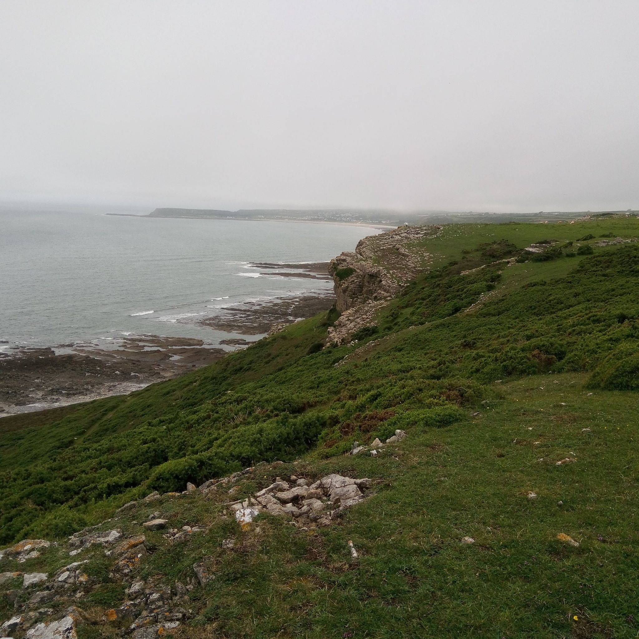
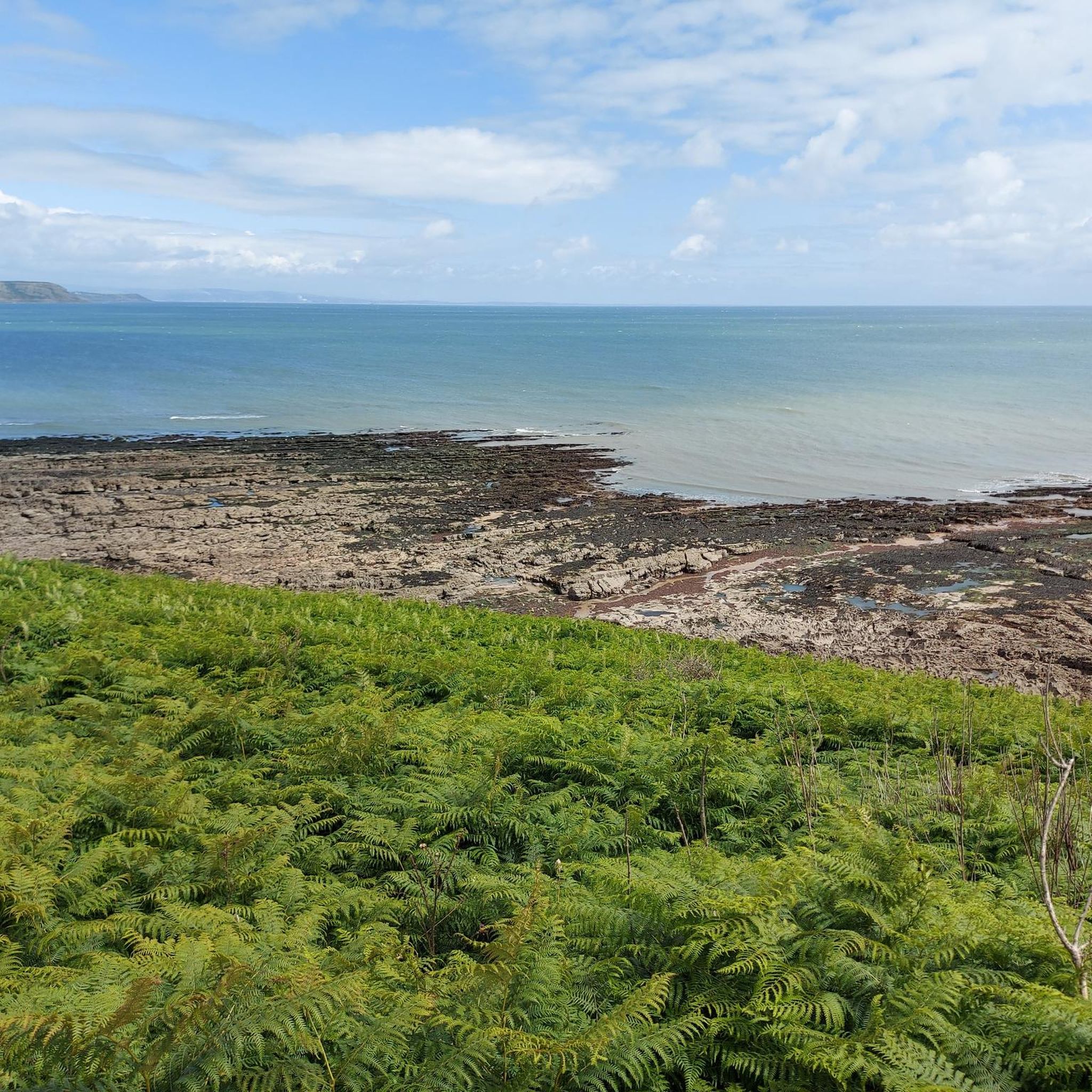
Views go on for miles, some of the best in the world!
2
0


not the best gravel section. would gk on the road next time
0
0

There is work on the sea wall at Oystermouth and you will need to ride on the main road on certain sections,should be finished by the Summer.
0
0

The Marina is a great place to run. It is really flat and you can run past all the boats along the paths. The beach is close by and there are cafes and pubs that you can start or finish it. There's also public toilets there and there is a nice 5k loop or more
0
0
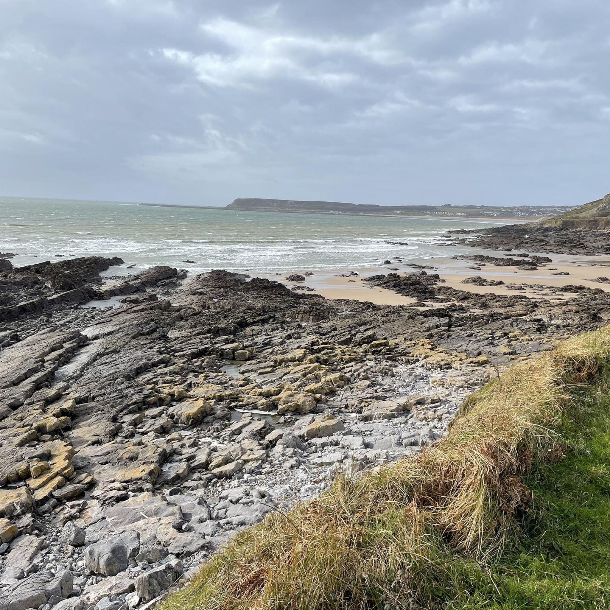
Amazing view across Rhossilli Bay and on to Llangenith Beach
1
0
Frequently Asked Questions
How challenging are the road cycling routes around Oxwich Wood?
The road cycling routes around Oxwich Wood offer a range of difficulties. You'll find 9 easy routes, 17 moderate routes, and 3 difficult routes. The Gower Peninsula's plateau topography means routes often feature numerous steep climbs and descents, with elevation gains ranging from 150 to 450 feet. Some routes, like the Three Cliffs Bay – Cefn Bryn loop from Oxwich, are considered difficult due to their length and elevation.
What natural features and landmarks can I expect to see while road cycling around Oxwich Wood?
Road cycling in this area offers diverse scenery, from coastal views of Oxwich Bay and the wider Gower coastline to dense woodlands. You'll pass through the Gower National Nature Reserve, a Site of Special Scientific Interest (SSSI), known for its ecological diversity. Routes often ascend to viewpoints offering expansive panoramas, potentially stretching to Exmoor on clear days. You might also encounter landmarks such as Oxwich Trig Point or the Oxwich National Nature Reserve itself.
Are there any historic sites or cultural attractions accessible from the cycling routes?
Yes, the area around Oxwich Wood is rich in history. You can explore historic landmarks such as Oxwich Castle and the medieval St. Illtyd's Church, Oxwich, which has a history of Christian worship dating back to the 6th century. Penrice Castle is also part of a hiking loop in the wider area, combining historical castles with beaches and woodlands.
When is the best time of year for road cycling in Oxwich Wood?
The varied landscapes of Oxwich Wood can be enjoyed throughout much of the year. Clear days offer superb vistas across Oxwich Bay and the southern coast of Gower. During late May and June, wild orchids are a seasonal highlight in the dunes, adding to the natural beauty. While some routes may merge with busier roads during peak seasons, the natural beauty is consistently present.
Are there family-friendly road cycling options in the area?
Yes, there are several easier routes suitable for families or those looking for a less strenuous ride. The guide features 9 easy routes. An example is the View of Oxwich Estate – Oxwich Bay loop from Penrice, which is 16.1 km long and has a moderate elevation gain, making it a good option for a more relaxed outing.
What do other road cyclists enjoy the most about road cycling in Oxwich Wood?
The area is highly rated by the komoot community, with an average score of 4.6 stars from more than 10 reviews. Cyclists often praise the diverse landscape, which combines coastal views with dense woodlands, and the varied terrain that offers options for different ability levels. The scenic views over places like Rhossili Bay are also frequently highlighted.
How can I access the road cycling routes around Oxwich Wood by public transport or car?
While many routes utilize quiet country roads, some sections may merge with busier routes like the A4118 and B4247, especially during peak seasons, so careful navigation is advised if driving to a starting point. For public transport, local bus services connect to villages around the Gower Peninsula, but specific routes to trailheads may require planning. It's advisable to check local transport schedules for the most up-to-date information.
Are there places to stop for refreshments or food along the routes?
The Gower Peninsula, including the area around Oxwich Wood, has various villages and coastal spots that offer opportunities for refreshments. While specific cafes or pubs directly on every route are not detailed, planning your ride to pass through or near villages will likely provide options for food and drink. Oxwich Bay itself is a popular destination, often having facilities available.
Can I find circular road cycling routes around Oxwich Wood?
Yes, many of the road cycling routes around Oxwich Wood are designed as loops, allowing you to start and finish at the same point. For example, the popular Rhossili Sunflower Field – View over Rhossili Bay loop from Oxwich is a circular route. You'll find a variety of circular options ranging in distance and difficulty.
What options are available for experienced road cyclists seeking a challenge?
Experienced road cyclists will find challenging routes around Oxwich Wood, with 3 routes specifically rated as difficult. These routes often feature significant elevation gains and longer distances. An example is the Three Cliffs Bay – Cefn Bryn loop from Oxwich, which covers 109.3 km and includes over 1000 meters of elevation gain, traversing varied Gower landscapes.
Are there any specific viewpoints or scenic spots recommended for road cyclists?
Absolutely. The Gower Peninsula's topography means many routes ascend to viewpoints offering expansive panoramas. For instance, the Rhossili Sunflower Field – View over Rhossili Bay loop from Oxwich offers stunning views over Rhossili Bay. Similarly, Nicholaston Woods, part of the wider reserve, provides breathtaking views of Oxwich Bay. Clear days can even offer views stretching to Exmoor.
How long are the road cycling routes near Oxwich Wood?
The road cycling routes near Oxwich Wood vary significantly in length to suit different preferences and fitness levels. You can find shorter routes, such as the View of Oxwich Estate – Oxwich Bay loop from Penrice at 16.1 km, up to much longer and more challenging rides like the Cefn Bryn – Millennium Coastal Path loop from Oxwich, which spans 97.6 km.
Most popular routes around Oxwich Wood
Most popular attractions around Oxwich Wood

Get inspired with the komoot mobile app


Explore more
Browse the best Road cycling routes in other regions.
