The best mountain hikes around Aletschwald
4.9
(53)
322
hikers
27
hikes
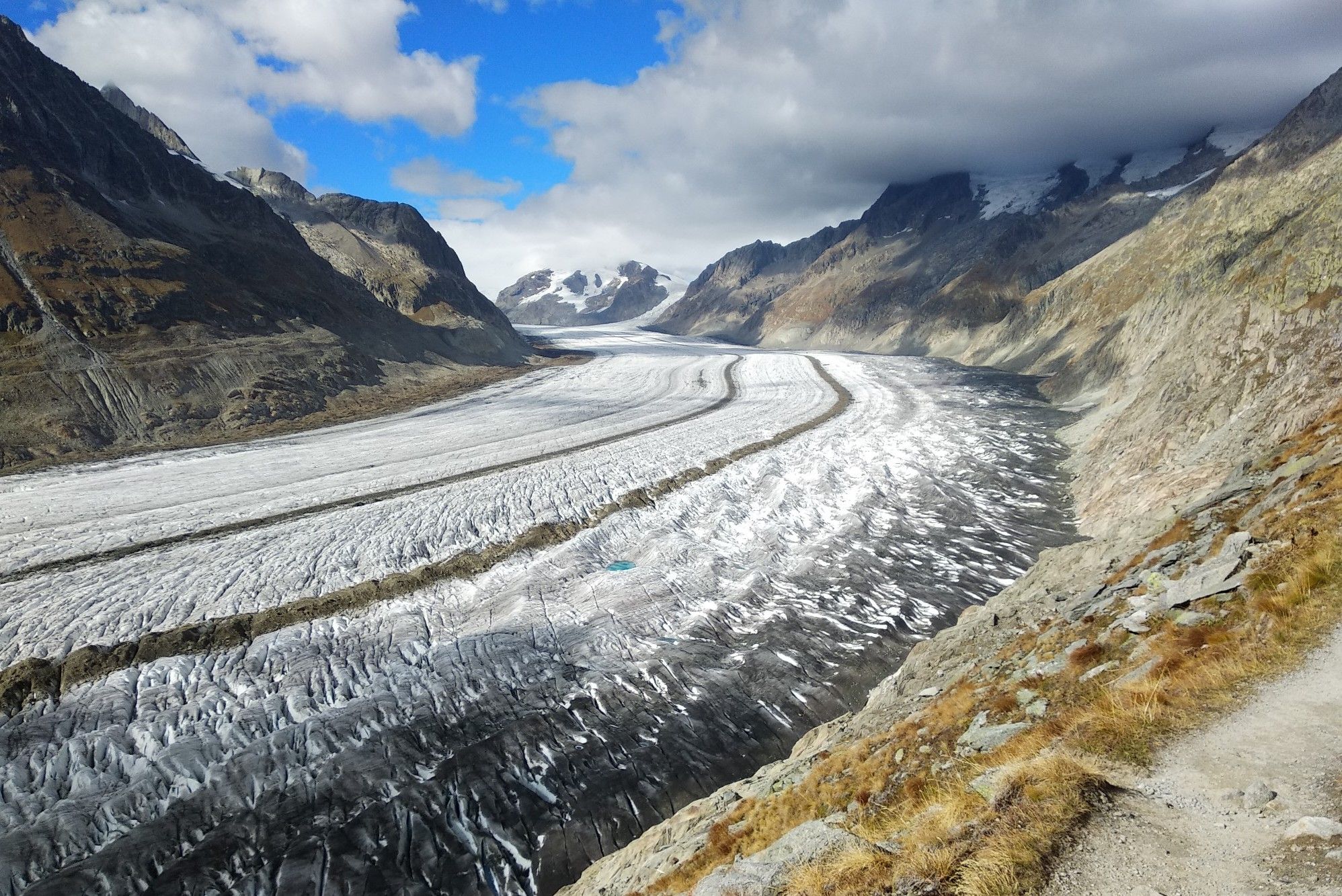
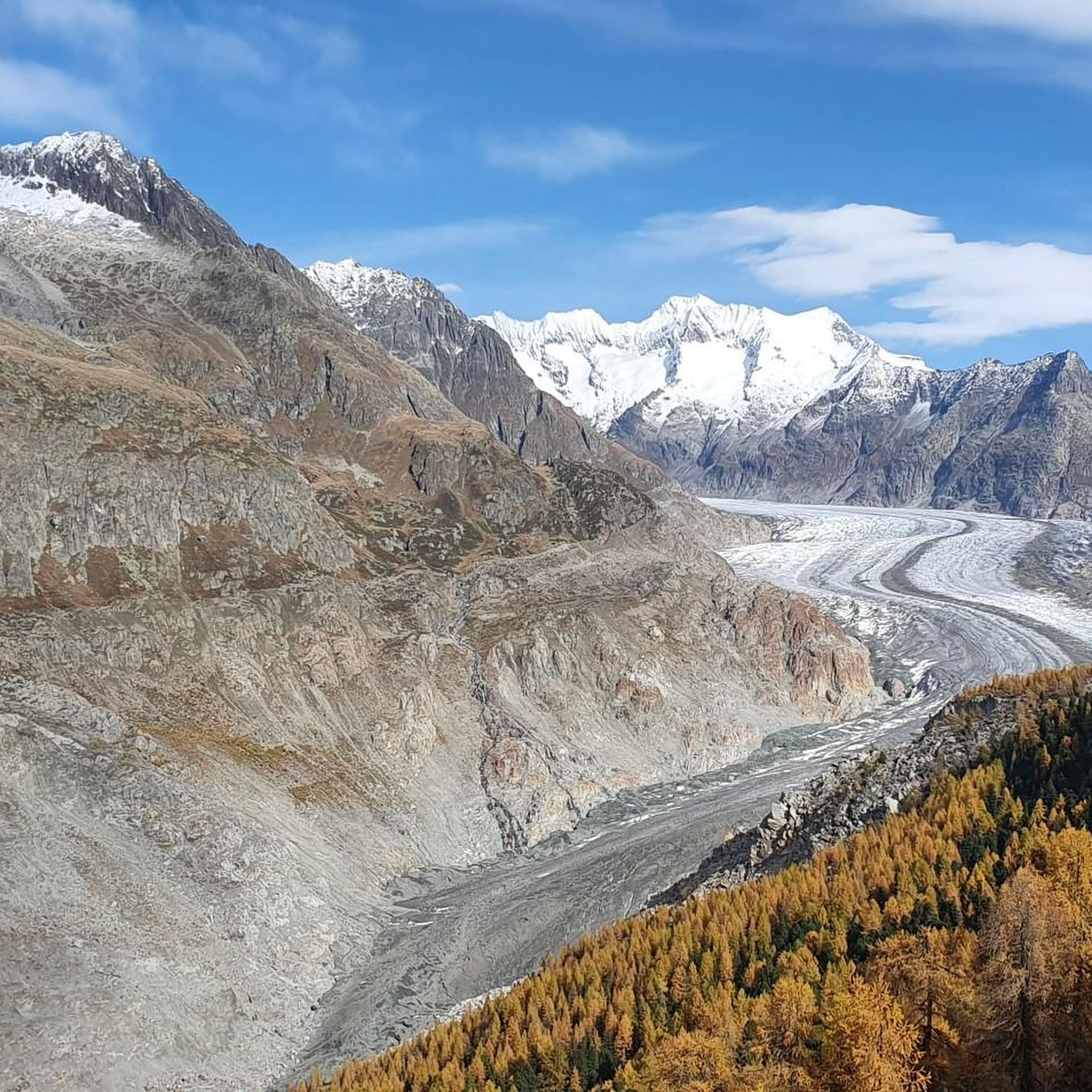
Mountaineering routes around Aletschwald are set within a UNESCO World Natural Heritage site, dominated by the Great Aletsch Glacier, the longest and largest glacier in the Alps. The region features a high-Alpine landscape with dramatic ice and rock formations, complemented by ancient stone pine and larch forests. Numerous three- and four-thousand-meter peaks, including the Jungfrau and Aletschhorn, define the challenging terrain.
Best mountaineering routes around Aletschwald
- The most popular mountaineering route is Märjelensee – Tälligrat Tunnel loop from Östlich Raron…
Last updated: October 1, 2026
5.0
(9)
41
hikers
19.3km
07:14
930m
930m
Hard mountaineering route. Very good fitness required. Sure-footedness, sturdy shoes and alpine experience required.
5.0
(2)
26
hikers
3.45km
02:24
140m
150m
Hard mountaineering route. Good fitness required. Sure-footedness, sturdy shoes and alpine experience required.

5.0
(1)
4
hikers
7.62km
02:37
400m
400m
Moderate mountaineering route. Good fitness required. Mostly accessible paths. Sure-footedness required.
4.0
(1)
8
hikers
9.55km
04:10
630m
630m
Moderate mountaineering route. Good fitness required. Mostly accessible paths. Sure-footedness required.
5.0
(1)
7
hikers
Hard mountaineering route. Very good fitness required. Sure-footedness, sturdy shoes and alpine experience required.
Get access to more routes and recommendations from other explorers.
Already have an account?
Our route recommendations are based on thousands of hikes, rides, and runs completed by other people on komoot.
Start today with a free account
Your next adventure awaits.
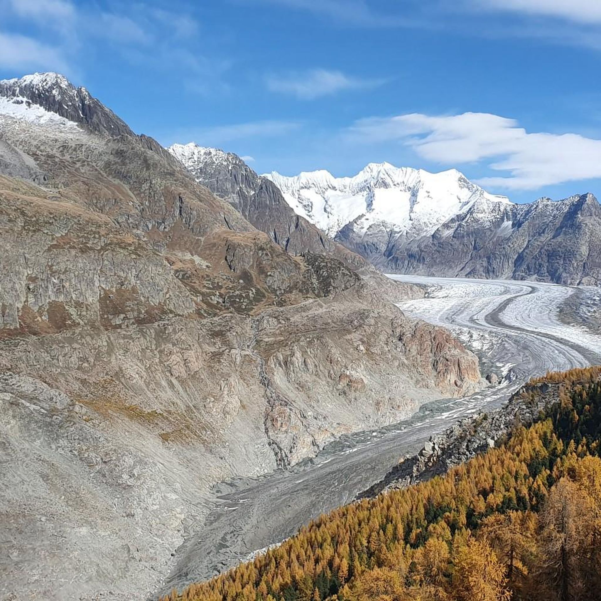
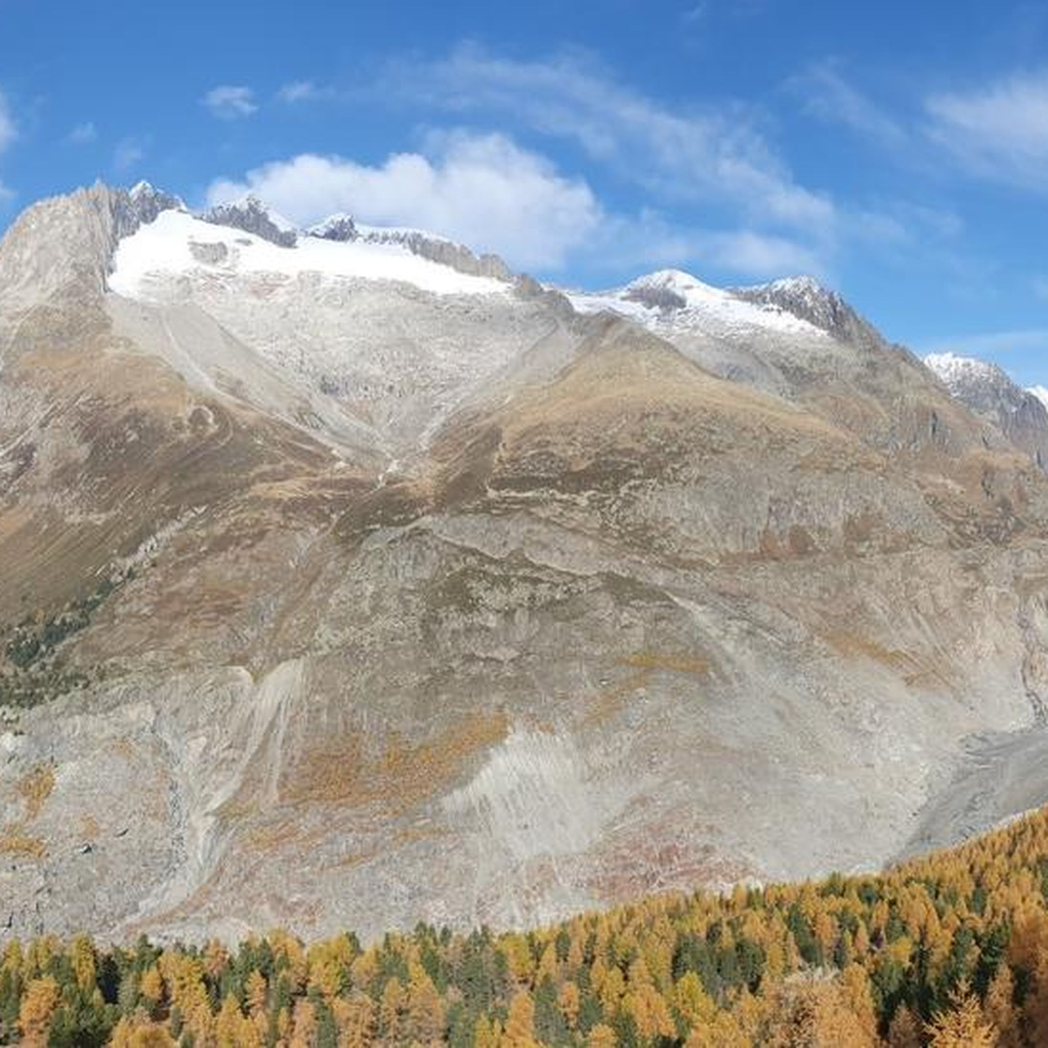
Other adventures around Aletschwald

Tips from the Community

the Bettmerhorn summit at 2,858 m offers an impressive panorama of the high-alpine landscape of the Aletsch Arena 😍🏔️. From the summit, the view sweeps over the mighty Great Aletsch Glacier ❄️💙 and numerous snow-covered peaks of the Bernese and Valais Alps. The ascent from the mountain station leads through rocky, alpine terrain 🥾🪨 and requires sure-footedness and a head for heights. Once at the top, you are rewarded with a magnificent view and a true summit feeling ⛰️✨. 📸 Rocks, glaciers, and mountains as far as the eye can see – a beautiful viewpoint high above the Aletsch Glacier! 😍❄️🏔️
0
0

Idyllic lake amidst the rocks.
0
0

On the Riederfurka, you will find a vast high-altitude plateau with a view of the Great Aletsch Glacier. At the same time, it is a special place for nature and history: here stands the striking Villa Cassel with the Pro Natura Centre.
0
0
The drive up alone is worth it: at the mountain station, an impressive view of the Aletsch Glacier awaits you. Take some time before you start for the free interactive exhibition "Gletscherwelt Bettmerhorn" – an exciting introduction to the landscape that awaits you outside.
2
0

Anyone hoping for glacier views from the name "Aletsch Via Ferrata" ❄️ will be disappointed – because the route runs several kilometers below the Aletsch Glacier in the Massa Gorge. Instead, it offers a completely different experience: a circular route directly around the Gibidum Reservoir (1,436 m) 🌊, often extremely airy directly above the water! The approximately 3 km long tour leads through varied forest paths 🌲, walking terrain, and steep rock faces. Particularly impressive are the passages directly on the cliff edge above the water's surface – exposed, but well secured with footholds 🔗. The highlight is the approximately 80 m long Nepal Bridge 🌉, which crosses the lake at a height of almost 50 m – pure adrenaline! 😮 The route is mostly easy to moderately difficult (A-B, in places B/C) and is therefore also doable for motivated beginners if you don't suffer from vertigo. The loop ends back at the starting point at the reservoir. ⚠️ Please note: The via ferrata may be closed at short notice depending on the lake's water level!
1
0
Anyone hoping for glacier views from the name "Aletsch Via Ferrata" ❄️ will be disappointed – because the route runs several kilometers below the Aletsch Glacier in the Massa Gorge. Instead, it offers a completely different experience: a circular route directly around the Gibidum Reservoir (1,436 m) 🌊, often extremely airy directly above the water! The approximately 3 km long tour leads through varied forest paths 🌲, walking terrain, and steep rock faces. Particularly impressive are the passages directly on the cliff edge above the water's surface – exposed, but well secured with footholds 🔗. The highlight is the approximately 80 m long Nepal Bridge 🌉, which crosses the lake at a height of almost 50 m – pure adrenaline! 😮 The route is mostly easy to moderately difficult (A-B, in places B/C) and is therefore also doable for motivated beginners if you don't suffer from vertigo. The loop ends back at the starting point at the reservoir. ⚠️ Please note: The via ferrata may be closed at short notice depending on the lake's water level!
0
0

A wonderful viewpoint even in winter
10
0
Frequently Asked Questions
How many mountaineering routes are available around Aletschwald?
There are nearly 30 mountaineering routes around Aletschwald listed on komoot, offering a wide range of experiences for different skill levels. These routes are set within a UNESCO World Natural Heritage site, providing stunning views of the Great Aletsch Glacier and the surrounding high-Alpine landscape.
What are the typical difficulty levels for mountaineering routes in Aletschwald?
The routes around Aletschwald cater to various abilities. You'll find a mix of moderate ascents and more challenging, difficult multi-day expeditions. For instance, routes like Märjelensee – Tälligrat Tunnel loop from Östlich Raron are considered difficult, while the Blausee (Riederalp) – Bettmersee loop from Östlich Raron is a moderate option.
Are there any family-friendly mountaineering routes in Aletschwald?
While many mountaineering routes in Aletschwald are challenging, some moderate trails can be suitable for families with older children who have some hiking experience. The Blausee (Riederalp) – Bettmersee loop from Östlich Raron, for example, is a moderate 5-mile trail that leads through alpine forests and past tranquil lakes, offering a less strenuous option.
What kind of natural landmarks or viewpoints can I expect to see along the routes?
Aletschwald is rich in natural beauty. You can explore the ancient Aletsch Forest Nature Reserve, walk the Aletschwald Nature Trail, and discover the unique Silbersand Stone Labyrinth. For breathtaking glacier views, consider visiting the View of the Aletsch Glacier between Moosfluh and Bettmerhorn or the Hohfluh View Point.
What do other mountaineers enjoy most about the Aletschwald area?
The Aletschwald area is highly rated by the komoot community, with an average score of 4.8 stars from over 50 reviews. Mountaineers often praise the dramatic scenery, extensive views of the Great Aletsch Glacier, and the diverse terrain that ranges from ancient forests to high-alpine peaks. The region's status as a UNESCO World Natural Heritage site also adds to its appeal.
Are there any routes that include a via ferrata experience?
Yes, for those seeking an extra thrill, the Aletsch Reservoir Via Ferrata – Gibidum Dam loop from Stausee Gibidum offers a challenging via ferrata experience around the Gibidum reservoir. This route features significant elevation changes and is considered difficult.
What is the best time of year for mountaineering in Aletschwald?
The best time for mountaineering in Aletschwald is typically during the warmer months, from late spring to early autumn (June to September), when trails are generally clear of snow and weather conditions are more stable. This period allows for optimal access to high-alpine routes and glacier treks.
Are there any circular routes available for mountaineering?
Yes, many routes in Aletschwald are designed as loops, allowing you to start and end at the same point. Examples include the Märjelensee – Tälligrat Tunnel loop from Östlich Raron and the Villa Cassel – Lime Kiln in Teife Wald loop from Riederalp, which is a moderate 6.2-mile trail.
Can I reach the mountaineering routes using public transport?
The Aletsch Arena region, which encompasses Aletschwald, is well-served by public transport. Many starting points for trails are accessible via cable cars and trains from valley stations like Mörel, Betten Talstation, and Fiesch, which connect to the broader Swiss public transport network. It's advisable to check local timetables for specific route access.
Are there any permits required for mountaineering in Aletschwald?
Generally, no specific permits are required for hiking or mountaineering on marked trails within the Aletschwald and Aletsch Arena region. However, if you plan to undertake guided glacier treks or more technical alpine climbs, it's recommended to consult local mountain guides or authorities for any specific requirements or safety precautions.
Are there any routes that offer views of the Bettmerhorn summit?
Yes, for those looking to experience panoramic views from a significant peak, the Blausee (Riederalp) – Bettmerhorn Summit Cross loop from Östlich Raron is a challenging 7.5-mile route that leads to the Bettmerhorn summit, offering extensive vistas of the surrounding Alps and the Great Aletsch Glacier.
Most popular routes around Aletschwald
Most popular attractions around Aletschwald

Get inspired with the komoot mobile app


Explore more
Browse the best Mountain Hikes & Routes in other regions.
