The best road cycling routes around Stadtwald Ettlingen
4.5
(3271)
44,408
riders
672
rides
Road cycling around Stadtwald Ettlingen is characterized by its location at the transition from the Black Forest to the Rhine plain. The region features varied forest terrain with gentle ascents and descents, providing a dynamic experience for road cyclists. Routes often follow the scenic Alb river and offer diverse elevations, with some points reaching approximately 357 meters. Paved paths are common, making them suitable for road bikes.
Best road cycling routes around Stadtwald Ettlingen
- The most popular road cycling route…
Last updated: August 8, 2026
4.1
(19)
159
riders
Easy road ride. Great for any fitness level. Mostly well-paved surfaces and easy to ride.
4.6
(5)
75
riders
47.7km
02:06
480m
480m
Moderate road ride. Good fitness required. Some segments of this route may be unpaved and difficult to ride.

Sign up for free
5.0
(2)
73
riders
17.4km
00:45
120m
120m
Easy road ride. Great for any fitness level. Mostly well-paved surfaces and easy to ride.
5.0
(2)
57
riders
Moderate road ride. Good fitness required. Mostly well-paved surfaces and easy to ride.
5.0
(1)
58
riders
Moderate road ride. Good fitness required. Some segments of this route may be unpaved and difficult to ride.
Get access to more routes and recommendations from other explorers.
Sign up for free
Already have an account?
Our route recommendations are based on thousands of hikes, rides, and runs completed by other people on komoot.
Start today with a free account
Your next adventure awaits.
Login or Signup
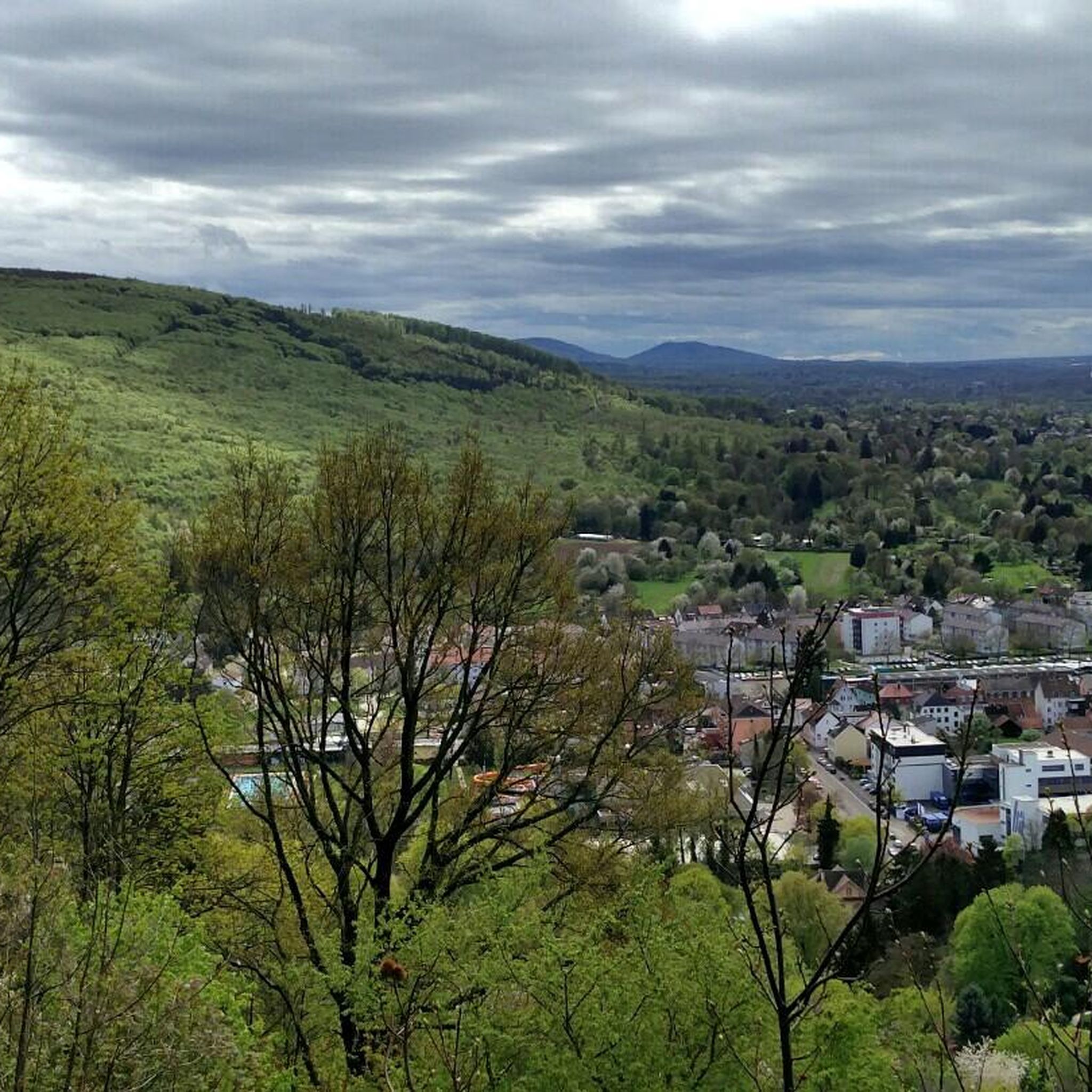
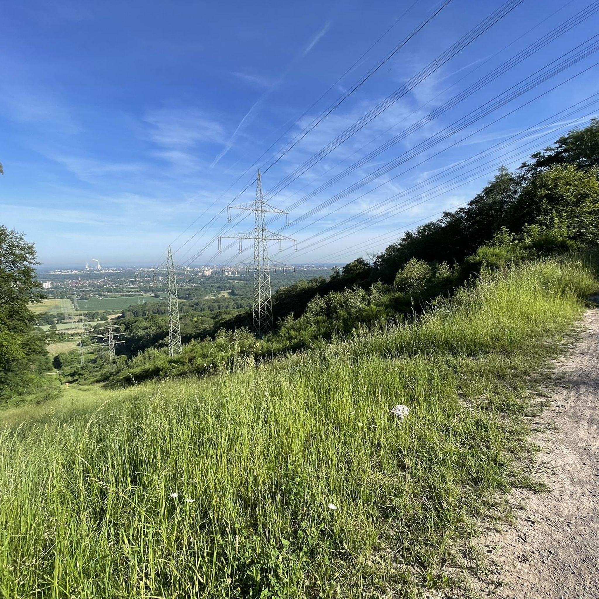
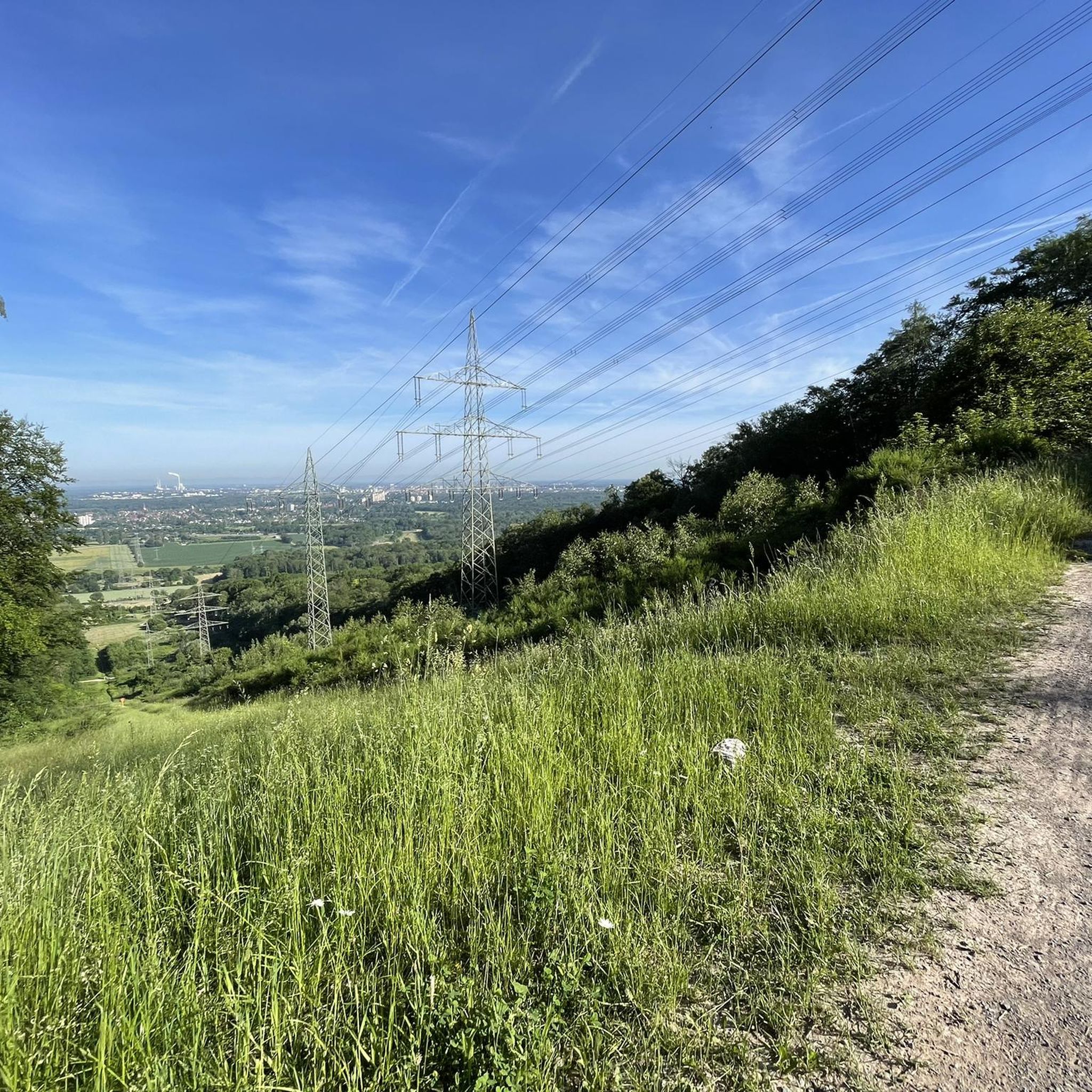
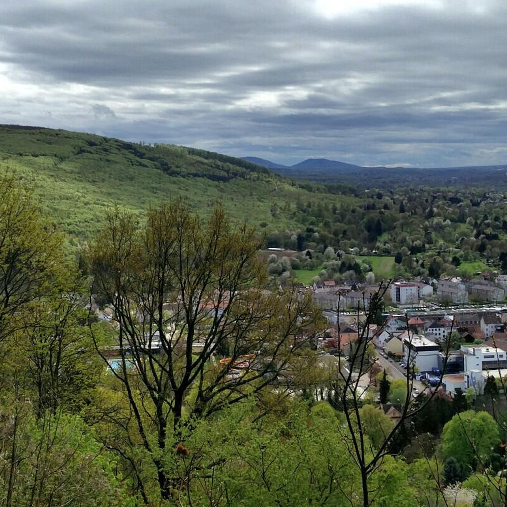

Tips from the Community

mighty Rhine bridge for railway and truck car
0
0

runs well, is great for road bikes
0
0

the cross is located in the immediate vicinity of the federal highway. A path and a parking lot connect to it in between, but directly in front.
0
0

Very well-developed and newly asphalted cycle path, mostly off the L-road and with hardly any steep climbs
1
0

Great view of the bends
1
1

Historic fountain, beautifully encased in stone, with the year 1892 inscribed on the trough. Unfortunately, it does not provide drinking water, as indicated on the water feature.
6
1

Newly paved cycle path from Busenbach to Bad Herrenalb. It's going really well.
0
0

Beautiful historic old town of Ettlingen with floral decorations.
0
0
Frequently Asked Questions
What kind of terrain can I expect when road cycling in Stadtwald Ettlingen?
Road cycling in Stadtwald Ettlingen offers a diverse experience, situated at the transition from the Black Forest to the Rhine plain. You'll find varied forest terrain with gentle ascents and descents, as well as flatter, more open sections towards the Rhine plain. Many routes follow the scenic Alb river, and the area features well-maintained, mostly paved surfaces ideal for road bikes. Elevations can reach around 357 meters, providing opportunities for panoramic views.
Are there road cycling routes suitable for beginners in Stadtwald Ettlingen?
Yes, Stadtwald Ettlingen offers several easy road cycling routes with minimal elevation gain, perfect for beginners or relaxed rides. An excellent option is the Mörsch–Neuburgweier cycle path – Ettlingen Old Town loop from Busenbach, which is 43.3 km long and features very little climbing.
Are there challenging road cycling routes for experienced cyclists?
Absolutely. For more experienced cyclists seeking a challenge, Stadtwald Ettlingen and its surroundings offer routes with significant elevation changes. For instance, the Albtal Cycle Path to Marxzell – Ettlingen Old Town and Castle loop from Wolfartsweier is a moderate 46.6 km route with notable climbs through the Alb Valley. The region also connects to longer tours, such as a 106 km loop with 1,060 meters of elevation gain, providing a demanding experience.
What landmarks or points of interest can I see along road cycling routes in Stadtwald Ettlingen?
Road cycling routes in Stadtwald Ettlingen often pass by interesting landmarks and natural features. You can explore the historic Ettlingen Old Town with its castle, or stop at the Bismarck Tower for great views over Ettlingen and the surrounding landscape. The region also features unique geological formations like canyons, such as the Kreuzenacker Gorge, and scenic river sections along the Alb. For a different perspective, the View of Waldbronn from Wattkopf Rest Hut offers another excellent viewpoint.
Are there any loop routes for road cycling in Stadtwald Ettlingen?
Yes, many road cycling routes in Stadtwald Ettlingen are designed as loops, allowing you to start and end at the same point. Popular loop options include the Ettlingen Old Town and Castle – Grötzingen Market Square loop from Langensteinbach, an easy 40.2 km ride, and the moderate Ettlingen Old Town – Rhine Cycle Path near Maximiliansau loop from Busenbach, which covers 57 km.
What is the best time of year to go road cycling in Stadtwald Ettlingen?
The best time for road cycling in Stadtwald Ettlingen is generally from spring through autumn. During these seasons, the weather is typically mild, and the natural landscapes are at their most vibrant. While some routes may be accessible in winter, it's advisable to check weather conditions for ice or snow, especially on higher elevation sections or shaded forest paths.
How many road cycling routes are available in Stadtwald Ettlingen?
There are over 630 road cycling routes available in and around Stadtwald Ettlingen, catering to various skill levels. This includes approximately 145 easy routes, 376 moderate routes, and 113 difficult routes, ensuring there's something for every cyclist.
What do other road cyclists enjoy most about road cycling in Stadtwald Ettlingen?
The road cycling experience in Stadtwald Ettlingen is highly rated by the komoot community, with an average score of 4.5 stars from over 2900 reviews. Cyclists often praise the varied forest terrain, the scenic sections along the Alb river, and the well-maintained, mostly paved routes that offer a mix of gentle and challenging sections. The transition between the Black Forest and the Rhine plain also provides unique and engaging landscapes.
Are there any family-friendly road cycling routes in the area?
Yes, Stadtwald Ettlingen offers several family-friendly road cycling routes, particularly those with minimal elevation gain and mostly paved surfaces. The easy routes are generally suitable for families, allowing for a relaxed and enjoyable ride through the picturesque landscape. The Mörsch–Neuburgweier cycle path – Ettlingen Old Town loop from Busenbach is a good example of an easy route that families can enjoy.
Where can I find parking for road cycling routes in Stadtwald Ettlingen?
Ettlingen and its surrounding areas, being a popular outdoor destination, offer various parking options. Many routes start from or pass through towns like Ettlingen, Busenbach, or Langensteinbach, where public parking facilities are typically available. It's recommended to check specific starting points for designated parking areas or public transport connections.
Can I access road cycling routes in Stadtwald Ettlingen using public transport?
Yes, Ettlingen is well-connected by public transport, making it a convenient starting point for many road cycling routes. Its location serves as a gateway to the Alb Valley and the Black Forest, with public transport options allowing access to various points from which to begin your ride. Many routes are designed to be accessible from towns and villages with public transport links.
Are there cafes or places to stop for refreshments along the road cycling routes?
The charming town of Ettlingen itself offers numerous cafes, restaurants, and amenities, making it an excellent base or stop-off point. Many routes connect to or pass through other villages and towns in the region where you can find places for refreshments. Additionally, there are shelters and huts like the Friedrichshöhe Shelter or the Rusthütte Shelter, which can serve as rest stops.
Most popular routes around Stadtwald Ettlingen
Most popular attractions around Stadtwald Ettlingen

Get inspired with the komoot mobile app


Explore more
Browse the best Road cycling routes in other regions.
