The best road cycling routes around Langenberge
4.5
(882)
11,200
riders
306
rides
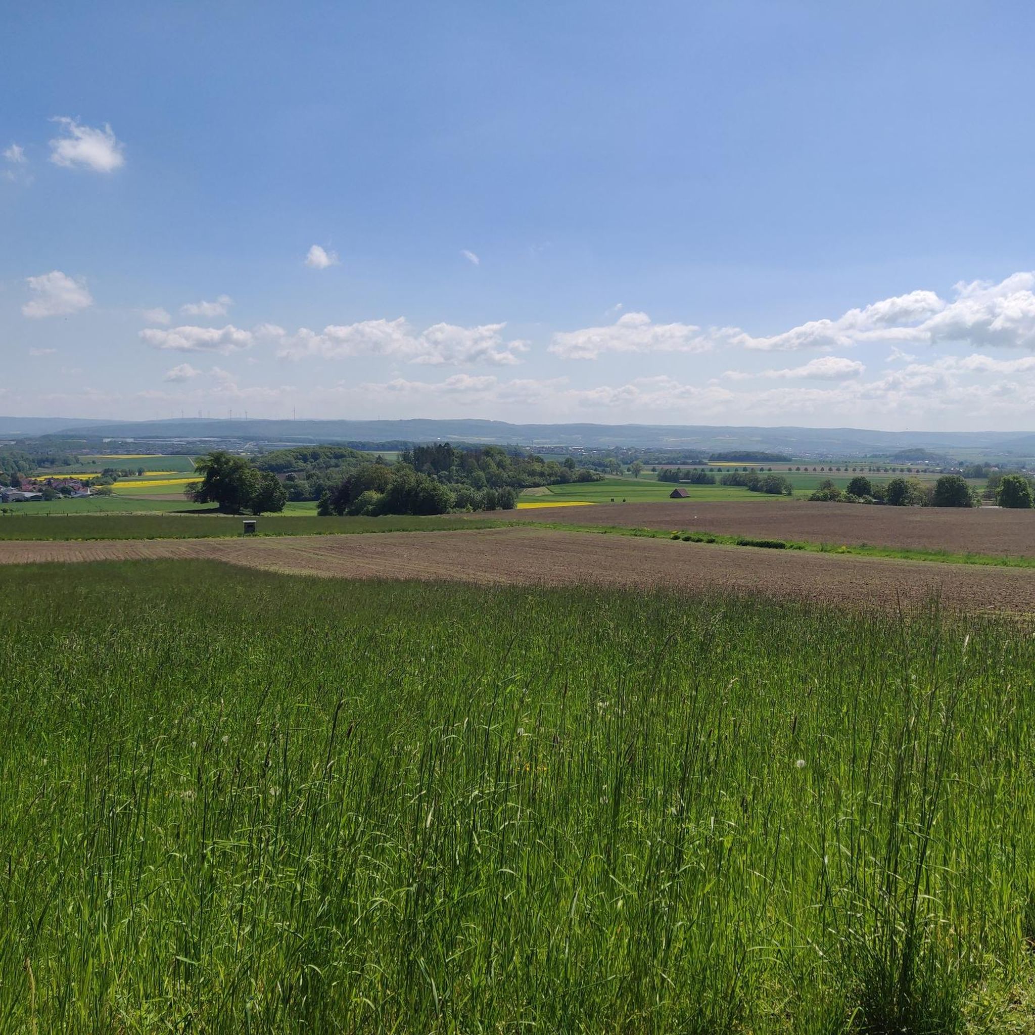
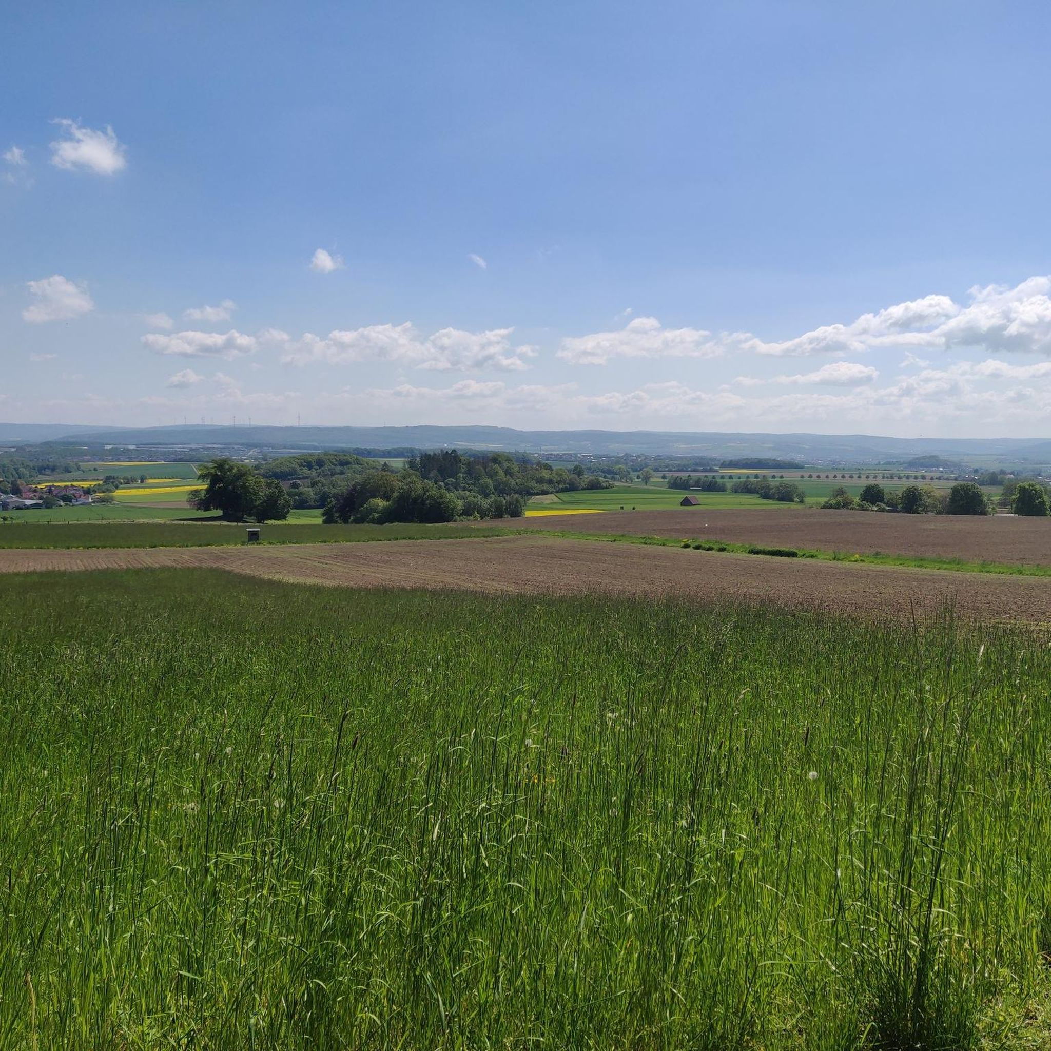
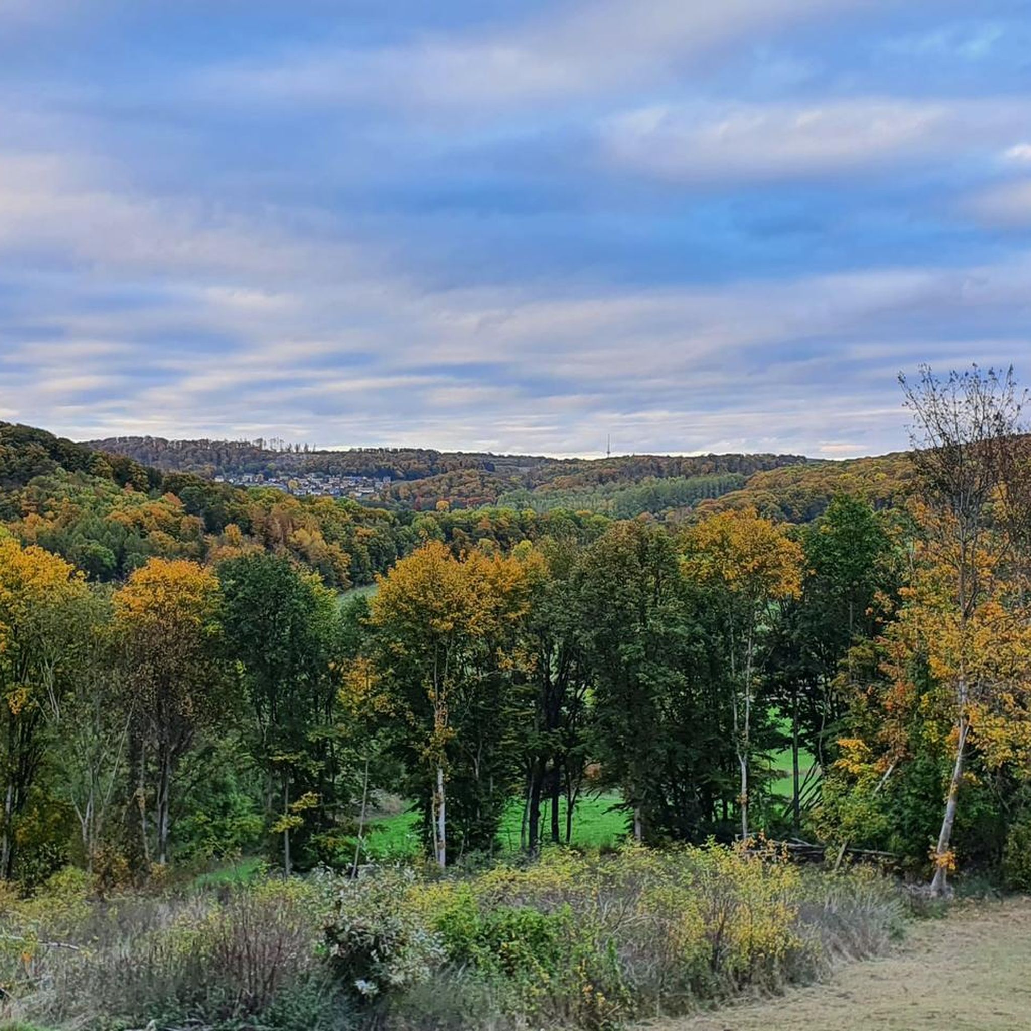
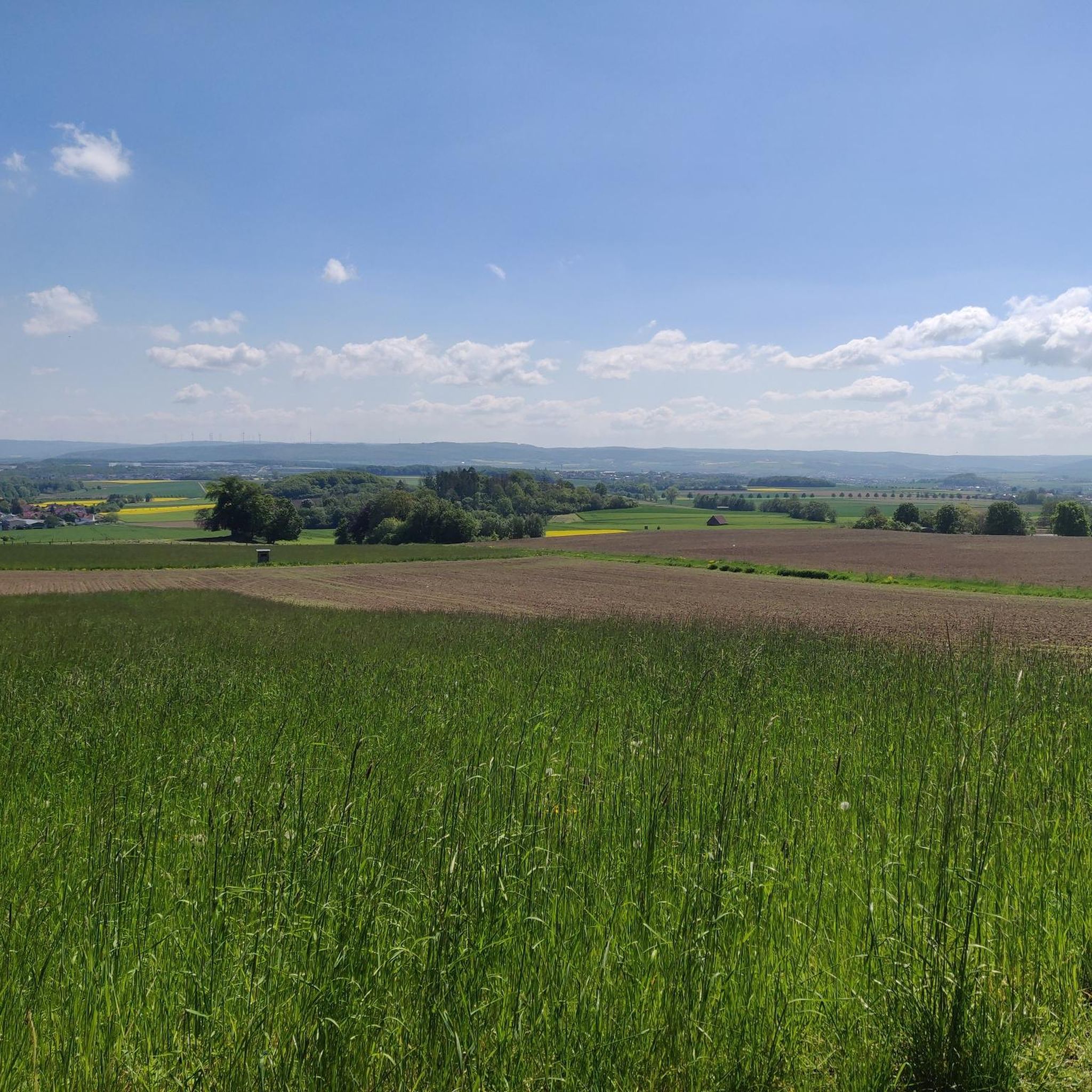
Road cycling routes around Langenberge traverse a region characterized by its forested hills and varied topography within the Schwalm-Eder-Kreis. The landscape features a mix of rolling terrain and some notable climbs, providing diverse conditions for road cyclists. Routes often pass through rural areas, connecting small villages and offering views over the surrounding countryside. The area's elevation changes contribute to routes with both gradual ascents and descents.
Best road cycling routes around Langenberge
- The most popular road cycling route is Climb…
Last updated: October 8, 2026
4.8
(4)
37
riders
36.1km
01:51
650m
650m
Moderate road ride. Good fitness required. Mostly well-paved surfaces and easy to ride.
13
riders
Moderate road ride. Good fitness required. Some segments of this route may be unpaved and difficult to ride.

4.5
(2)
11
riders
Moderate road ride. Good fitness required. Mostly well-paved surfaces and easy to ride.
6
riders
56.0km
02:42
790m
790m
Moderate road ride. Good fitness required. Some segments of this route may be unpaved and difficult to ride.
4.0
(2)
8
riders
22.2km
01:06
330m
330m
Moderate road ride. Good fitness required. Mostly well-paved surfaces and easy to ride.
Get access to more routes and recommendations from other explorers.
Already have an account?
Our route recommendations are based on thousands of hikes, rides, and runs completed by other people on komoot.
Start today with a free account
Your next adventure awaits.

Tips from the Community

Fast connection from Gudensberg to Fritzlar
0
0

Beautiful hiking parking lot in the Habichtswald Nature Park
0
0

The new cycle path between Werkel (Fritzlar) and Dorla (Gudensberg) along the state road L 3150 is a central project for improving cycle path infrastructure in the Schwalm-Eder district.
0
0

The Protestant church is located in the middle of the old town of Niedenstein and is a hall building erected in 1777 with a recessed tower. Since 2018, difficult foundation work has been necessary because the slope at the church is moving. During my visit today, the church was open, but still a large construction site.
8
0
The mountain gate is the entrance gate to the impressive manor in Kirchberg. The Eco Path leads through it.
8
0
The Church of the Cross is the Protestant church of Großenritte. This late Gothic building was completed in 1512 and likely replaced an older Romanesque church, about which no precise information exists. The year can be seen above the now-walled-up south portal. Inside, there is a late Gothic baptismal font and a pulpit from 1644. Paintings from before 1600 still adorn the walls. Unfortunately, I found the church closed.
10
0

Beautiful cycling highway, shortens the route from Fritzlar to Gudensberg
0
0

Beautiful route, but watch out for cars. Even though there aren't many, a cyclist was recently run over and killed.
0
0
Frequently Asked Questions
How many road cycling routes are available in the Langenberge region?
The Langenberge region offers a wide variety of road cycling routes, with over 300 tours available on komoot. These routes cater to different skill levels, from easy rides to more challenging ascents.
Are there easy road cycling routes suitable for beginners in Langenberge?
Yes, Langenberge has 54 easy road cycling routes perfect for beginners or those looking for a relaxed ride. An example is the Church of Hoof – Katzenmühle Tinkerhof loop from Langenberger Hute bei Breitenbach, which is 22.0 km long with moderate elevation gain.
What are the typical distances and durations for road cycling routes in Langenberge?
Route distances vary significantly, from shorter rides around 20 km to longer tours exceeding 50 km. For instance, the Chattengau Oil Mill Dorla loop from Langenberger Hute bei Breitenbach is 42.4 km and typically takes around 2 hours, while the Twiste Reservoir – Twiste Lake loop from Großer Schönberg bei Breitenbach covers 56.0 km and can take over 2.5 hours.
Are there challenging road cycling routes for experienced riders in Langenberge?
Absolutely. For experienced road cyclists seeking a challenge, there are 38 difficult routes in Langenberge. These often feature significant elevation gains, such as the Climb to Erlebach bei Ehlen – View of Schweinsberg loop from Niedenstein, which includes over 640 meters of ascent over 36.1 km.
What kind of terrain can I expect on road cycling routes in Langenberge?
The Langenberge region is characterized by forested hills and varied topography. You can expect a mix of rolling terrain, some notable climbs, and descents. Routes often pass through rural areas, connecting small villages and offering views over the surrounding countryside and agricultural landscapes.
Are there any circular road cycling routes in Langenberge?
Many of the road cycling routes in Langenberge are designed as loops, allowing you to start and finish at the same point. Examples include the Kreuzkirche Großenritte – Church of Hoof loop from Großer Schönberg bei Breitenbach and the Twiste Reservoir – Twiste Lake loop from Großer Schönberg bei Breitenbach.
What attractions or viewpoints can I find along road cycling routes in Langenberge?
Road cycling routes in Langenberge often pass by interesting landmarks and offer scenic viewpoints. You might encounter natural monuments like the Landgrafenborn Spring or the Süßloquelle. For panoramic views, consider routes near the Hessenturm Observation Tower or the Bilstein Cliffs.
What do other road cyclists say about the routes in Langenberge?
The road cycling routes in Langenberge are highly rated by the komoot community, with an average score of 4.5 stars from over 600 reviews. Cyclists often praise the varied terrain, the quiet rural roads, and the beautiful forested landscapes.
Is public transport accessible for reaching road cycling routes in Langenberge?
While specific public transport options vary by starting point, the Langenberge region is generally accessible by regional bus services. It's advisable to check local transport schedules and bike carriage policies for your chosen starting location.
Are there good parking options available at the start of road cycling routes?
Many villages and towns within the Langenberge region offer public parking facilities, often near popular trailheads or local amenities. It's recommended to check specific parking availability for your chosen route's starting point in advance.
What is the best time of year for road cycling in Langenberge?
The spring, summer, and early autumn months (typically April to October) offer the most favorable conditions for road cycling in Langenberge. During these periods, the weather is generally milder, and the natural scenery is at its best. Always check the local weather forecast before heading out.
Most popular routes around Langenberge
Most popular attractions around Langenberge

Get inspired with the komoot mobile app


Explore more
Browse the best Road cycling routes in other regions.
