The best road cycling routes around Dohma
4.6
(693)
11,226
riders
256
rides
Road cycling routes around Dohma are situated in the Sächsische Schweiz-Osterzgebirge district of Germany, offering a diverse landscape for exploration. The region features the Gottleuba Valley, providing panoramic views and varied terrain. Proximity to Saxon Switzerland introduces dramatic sandstone formations and lush forests, while the Eastern Ore Mountains contribute to an interesting mix of nature and geology. This area provides a suitable backdrop for road cycling, with routes that navigate through valleys and offer elevation changes.
Best road cycling routes…
Last updated: May 16, 2026
5.0
(7)
55
riders
48.8km
02:25
720m
720m
Moderate road ride. Good fitness required. Mostly well-paved surfaces and easy to ride.
5.0
(3)
41
riders
26.7km
01:14
280m
290m
Easy road ride. Great for any fitness level. Mostly well-paved surfaces and easy to ride.

Sign up for free
4.0
(1)
27
riders
75.4km
03:48
1,180m
1,180m
Hard road ride. Very good fitness required. Mostly well-paved surfaces and easy to ride.
3.0
(1)
32
riders
Easy road ride. Great for any fitness level. Mostly well-paved surfaces and easy to ride.
5.0
(1)
21
riders
Moderate road ride. Good fitness required. Some segments of this route may be unpaved and difficult to ride.
Get access to more routes and recommendations from other explorers.
Sign up for free
Already have an account?
Our route recommendations are based on thousands of hikes, rides, and runs completed by other people on komoot.
Start today with a free account
Your next adventure awaits.
Login or Signup
Tips from the Community

Asphalt has just been renewed. The finest 👍
0
0

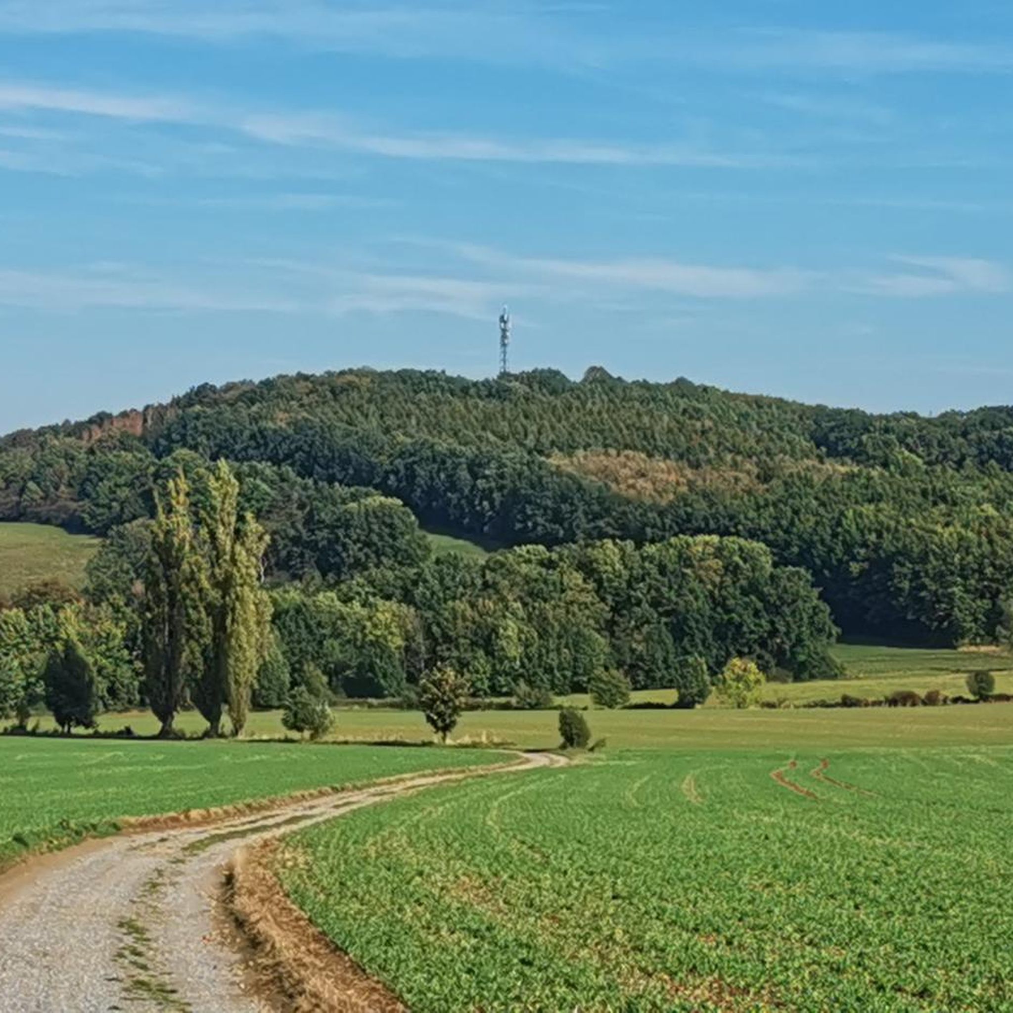
Wonderful panoramic road as a reward after completing the climb.
0
0

It's simply breathtakingly beautiful here 😊.
1
0
The bike path is nice and wide. And the view makes you want to go hiking.
0
0

A beautifully renovated castle, but not open to the public. The castle grounds are freely accessible.
0
1
Beautiful route. Rolling asphalt, moderate and steady incline, making every vertical meter enjoyable. =)
0
0

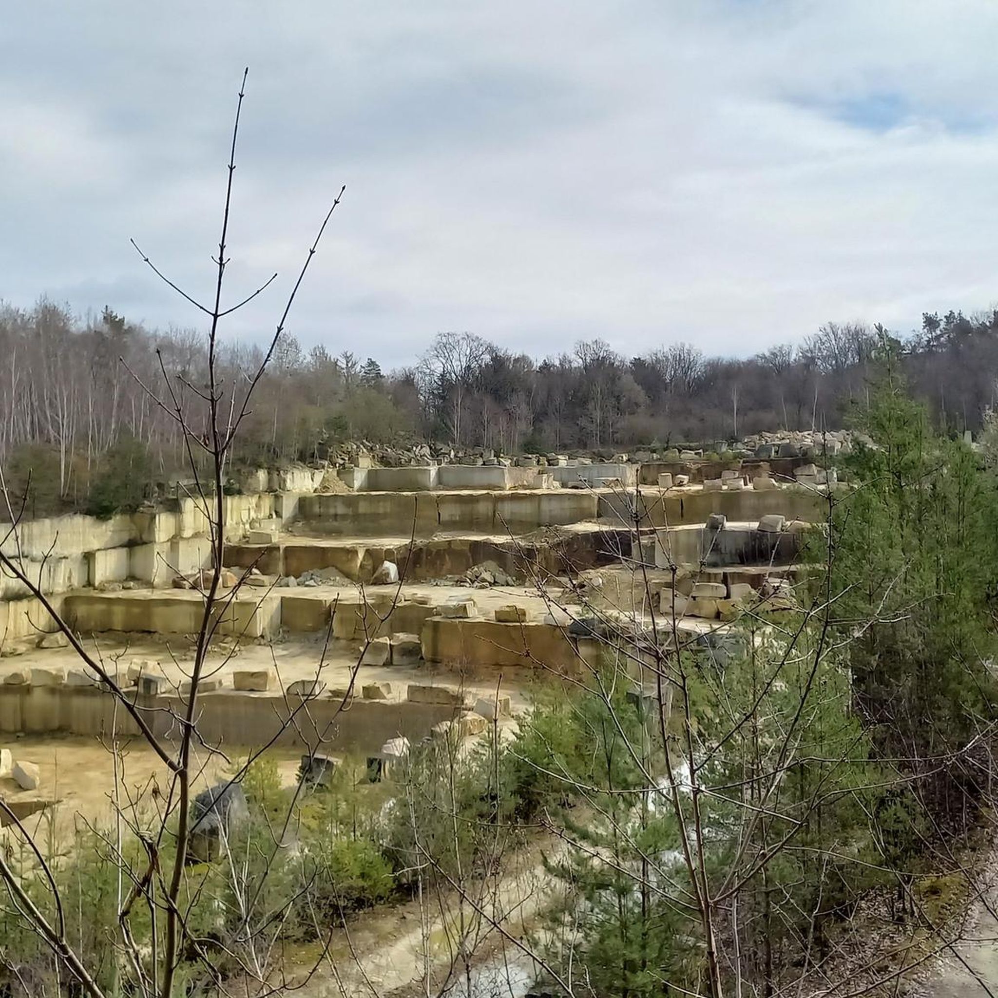
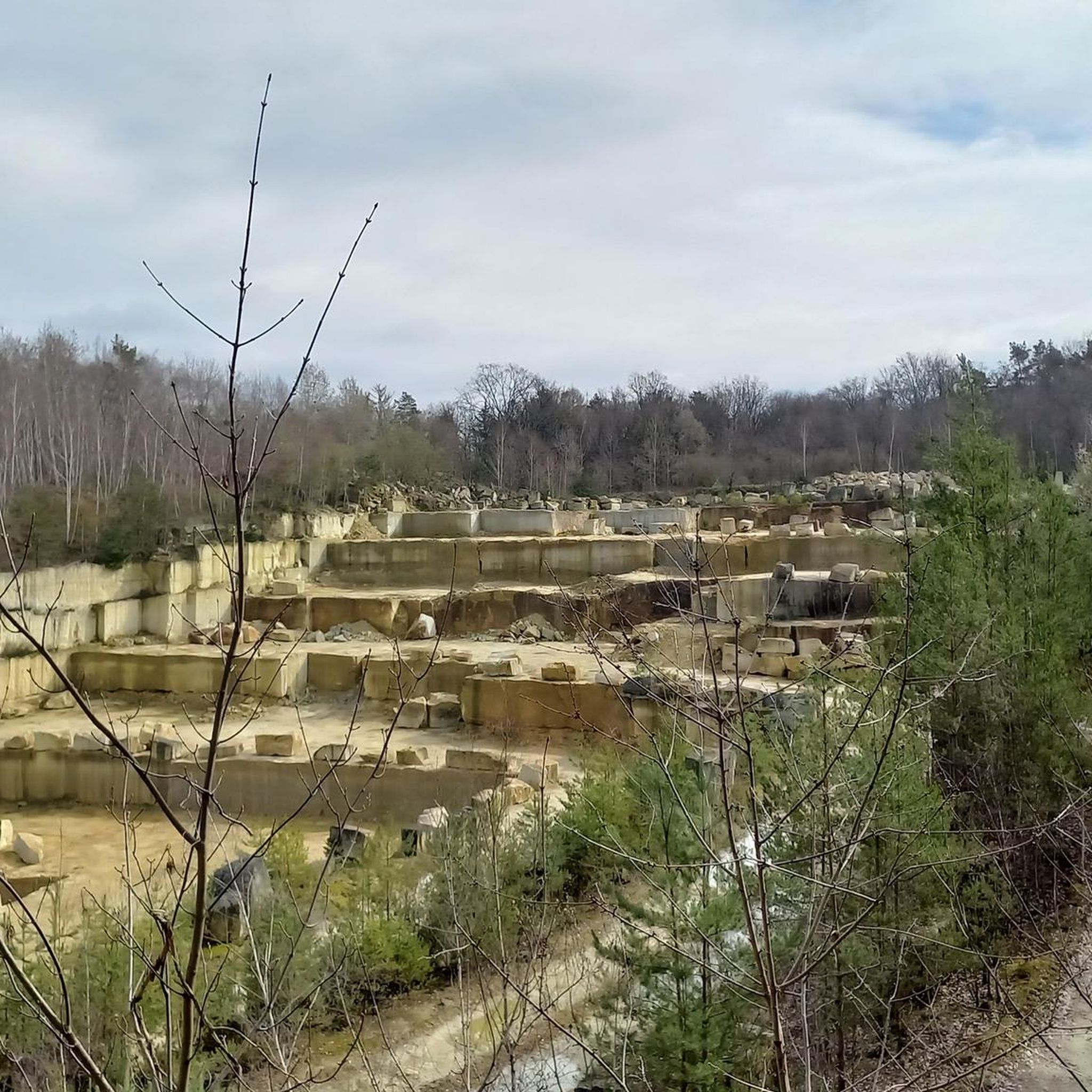
View of the white quarries.
0
0

Frequently Asked Questions
How many road cycling routes are available around Dohma?
Dohma offers a wide selection of road cycling routes, with over 260 options available. These routes cater to various skill levels, including 35 easy, 147 moderate, and 81 difficult trails, ensuring there's something for every road cyclist.
What kind of terrain can I expect on road cycling routes in Dohma?
The region around Dohma, situated in the Sächsische Schweiz-Osterzgebirge district, features a diverse landscape. You can expect routes that navigate through scenic valleys like the Gottleuba Valley, offering panoramic views, as well as areas with dramatic sandstone formations and lush forests. Some routes include significant elevation changes, while others provide more relaxed rides.
Are there any easy road cycling routes suitable for beginners or a relaxed ride?
Yes, Dohma has 35 easy road cycling routes. A great option for a more relaxed ride is the Langenhennersdorf Waterfall – Jagdstein Traverse loop from Cotta, an easy 16.6-mile (26.7 km) path that traverses scenic areas.
What are some challenging road cycling routes for experienced riders?
For experienced riders seeking a challenge, Dohma offers 81 difficult routes. One such route is the Lauenstein Reservoir – Picturesque forest road loop from Cotta, a 46.8-mile (75.3 km) trail with significant elevation gain, often completed in about 3 hours 48 minutes.
Are there any circular road cycling routes around Dohma?
Yes, many of the road cycling routes around Dohma are designed as loops, allowing you to start and end at the same point. Examples include the Langenhennersdorf Waterfall – Between Bahra and space loop from Cotta and the Pirnaer Rowing Club 1872 e.V. – Obervogelgesang Beer Garden loop from Dohma.
What can I see along the road cycling routes in Dohma?
Road cycling routes around Dohma offer access to various natural and man-made attractions. You might pass by beautiful lakes such as Amselsee or the Gottleuba Dam. The region is also known for dramatic natural monuments like the Bastei Bridge and the Schwedenlöcher gorge, as well as scenic viewpoints like the Bastei Viewpoint.
What do other road cyclists enjoy most about road cycling in Dohma?
The road cycling routes in Dohma are highly rated by the komoot community, with an average score of 4.6 stars from over 600 reviews. More than 9,000 road cyclists have explored the area using komoot, often praising the diverse terrain, scenic valleys, and dramatic natural formations that make for an engaging ride.
Are there any routes that offer views of notable landmarks?
Yes, some routes provide excellent views of significant landmarks. For instance, the View of Königstein – View of Königstein Fortress loop from Langenhennersdorf offers impressive vistas of the famous Königstein Fortress.
What is the best time of year for road cycling in Dohma?
Dohma's diverse landscape and robust cycling infrastructure make it suitable for road cycling through much of the year. While specific seasonal recommendations depend on personal preference for weather and scenery, the region's natural beauty, including its lush forests and valleys, is particularly appealing during spring, summer, and autumn.
Are there any road cycling routes that pass by places to eat or rest?
While specific cafes are not detailed for every route, the broader region, including the Gottleuba valley, is known to have amenities like museums and restaurants along its paths. It's common for routes in Germany to pass through or near villages where you can find places to refuel and rest.
How long do road cycling routes in Dohma typically take to complete?
Route durations vary significantly based on distance and difficulty. For example, an easy route like the Langenhennersdorf Waterfall – Jagdstein Traverse loop from Cotta (16.6 miles) takes approximately 1 hour 14 minutes, while a moderate route such as the Langenhennersdorf Waterfall – Between Bahra and space loop from Cotta (30.4 miles) typically takes 2 hours 27 minutes. More difficult routes can take much longer.
Most popular attractions around Dohma

Get inspired with the komoot mobile app


Explore more
Browse the best Road cycling routes in other regions.
