The best running trails around The Wiehen Hills
4.4
(232)
4,174
runners
416
runs
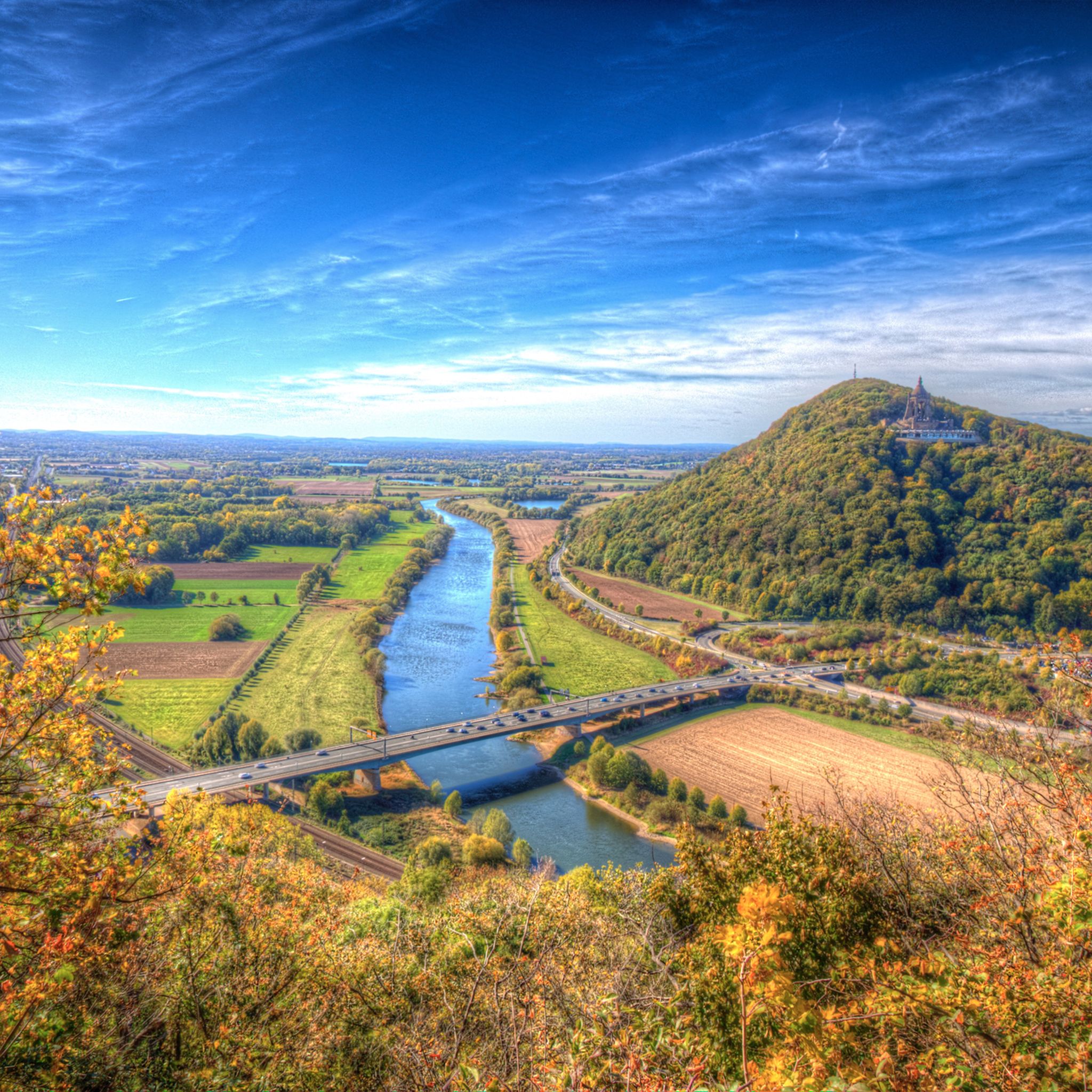
Jogging routes around The Wiehen Hills traverse a picturesque hill range characterized by lush forests and rolling hills, offering diverse terrain for runners. The region features well-maintained forest paths with gentle ups and downs, alongside steeper ascents for more challenging workouts. Part of the German Central Uplands, the landscape provides a dynamic environment for running, with routes suitable for various fitness levels. The highest point, Heidbrink, reaches 320 meters (1,050 ft), contributing to varied elevation changes.
Best jogging routes around The Wiehen Hills
- The most popular jogging route is Waldwinkel Bathing Lake – Neu Barenaue Castle loop from Varusschlacht im Osnabrücker Land - Museum und Park Kalkriese, a 4.3 miles (6.9 km) trail that takes about 46 minutes to complete. This route offers well-maintained forest paths with gentle gradients.
- Another top favourite among local runners is Venner Berg Observation Tower – Venne Observation Tower loop from Varusschlacht im Osnabrücker Land - Museum und Park Kalkriese, a moderate 4.1 miles (6.5 km) path. It leads through rolling hills and lush forests, providing scenic views.
- Local runners also love the Süntelstein Standing Stone – Süntelstein Rock Formation loop from Landkreis Osnabrück, a 5.5 miles (8.8 km) trail leading through varied forest terrain, often completed in about 1 hour 0 minutes.
- Jogging around The Wiehen Hills is defined by lush forests, rolling hills, and well-maintained forest paths. The network offers options for different ability levels, from leisurely runs to more intense uphill challenges.
- The routes in The Wiehen Hills are highly rated by the komoot community with an average score of 4.3 stars from more than 200 reviews. More than 3900 runners have used komoot to explore The Wiehen Hills's varied terrain.
Last updated: May 8, 2026
3.7
(3)
7
runners
Moderate run. Good fitness required. Mostly paved surfaces. Suitable for all skill levels.
5
runners
Moderate run. Good fitness required. Mostly paved surfaces. Suitable for all skill levels.

Sign up for free
5.0
(2)
7
runners
Moderate run. Good fitness required. Mostly paved surfaces. Suitable for all skill levels.
5.0
(1)
17
runners
Hard run. Very good fitness required. Mostly paved surfaces. Suitable for all skill levels.
5.0
(1)
5
runners
Hard run. Very good fitness required. Mostly accessible paths. Some sure footedness required.
Get access to more routes and recommendations from other explorers.
Sign up for free
Already have an account?
Our route recommendations are based on thousands of hikes, rides, and runs completed by other people on komoot.
Start today with a free account
Your next adventure awaits.
Login or Signup
Tips from the Community

I still know the lake by the name of rainwater retention basin.
0
0

A beautiful church, both inside and out, with a long tradition of pilgrimage. According to legend, a Blood Host miracle occurred here, where stolen hosts turned blood red. In the Chapel of Grace, you can still see the monstrance and an oil painting depicting the miracle.
1
0
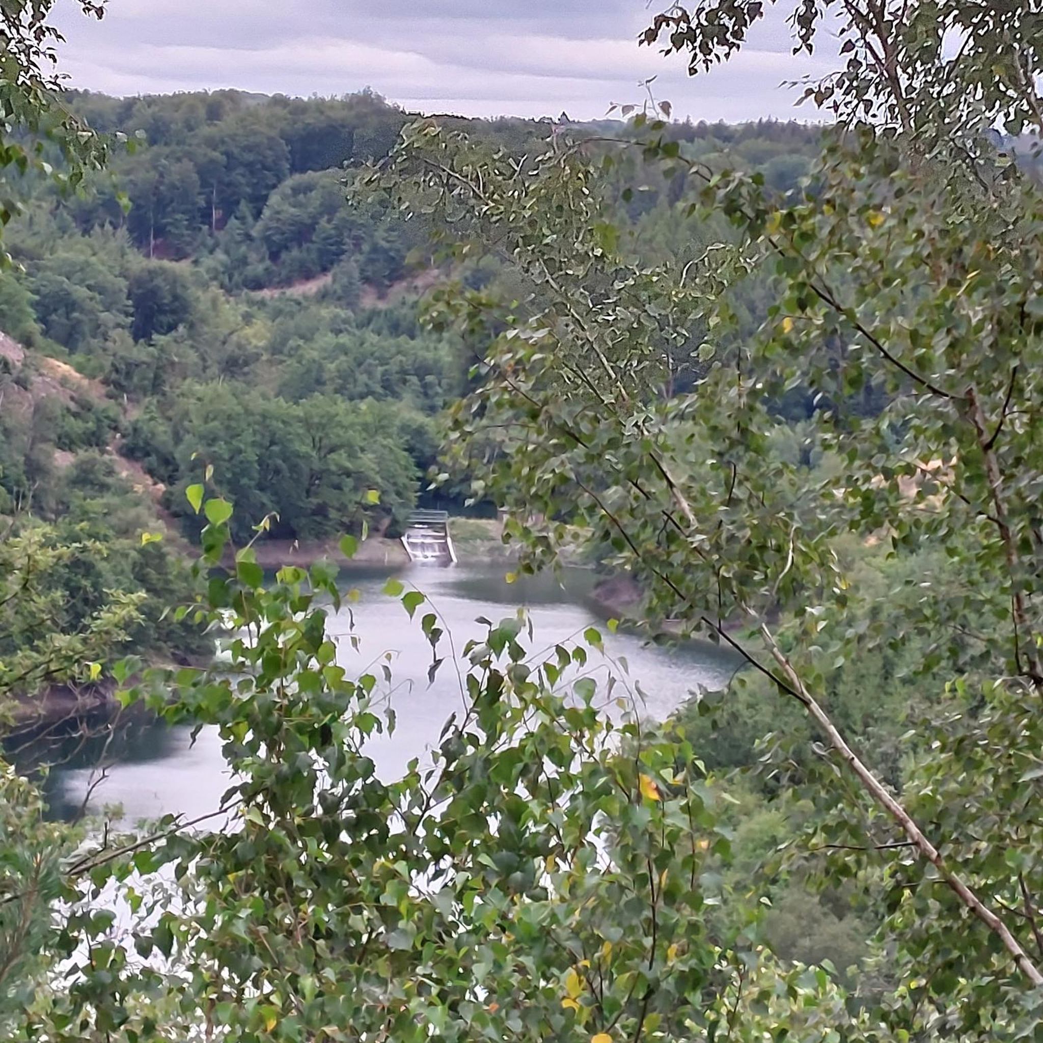
The swimming lake is fed by clear spring water, which is said to ensure good water quality.
1
0

In the water mill built in 1725 on the Venner Mühlenbach, you can admire the milling technology of past times at its original location. Interesting information about grinding, different types of grain, and their processing complement the presentation. The interesting history of the village of Venne and its inhabitants can also be discovered in the vividly designed exhibition. Numerous historical objects, models, and audio installations offer different approaches to the topics. In the outdoor area of the museum, on the mill island, you can find historical buildings from the Venner region. A blacksmith's shop, a bakehouse, a small farm, a bleaching hut, and the lovingly maintained farmhouse garden give an impression of life in past times. Some very important residents of the museum can also be found in the museum and its outdoor area: the Venner mill cats. Those who want to listen to their exciting stories should bring a smartphone.
0
0
It is a quiet place to take a break.
0
0

It is obviously not accessible to the public. Jan 26
0
0

Schnippenburg Archaeological Site In this unassuming wooded area lies a significant Iron Age archaeological site, of which hardly anything remains today. Hidden between two main ridges of the Wiehen Hills, there once stood a roughly 1.5-hectare rampart fortified with a stone, timber, and earth wall. Constructed around 270 BC, it was burned down and abandoned barely 150 years later. Much evidence suggests that this site was not permanently inhabited.
2
0

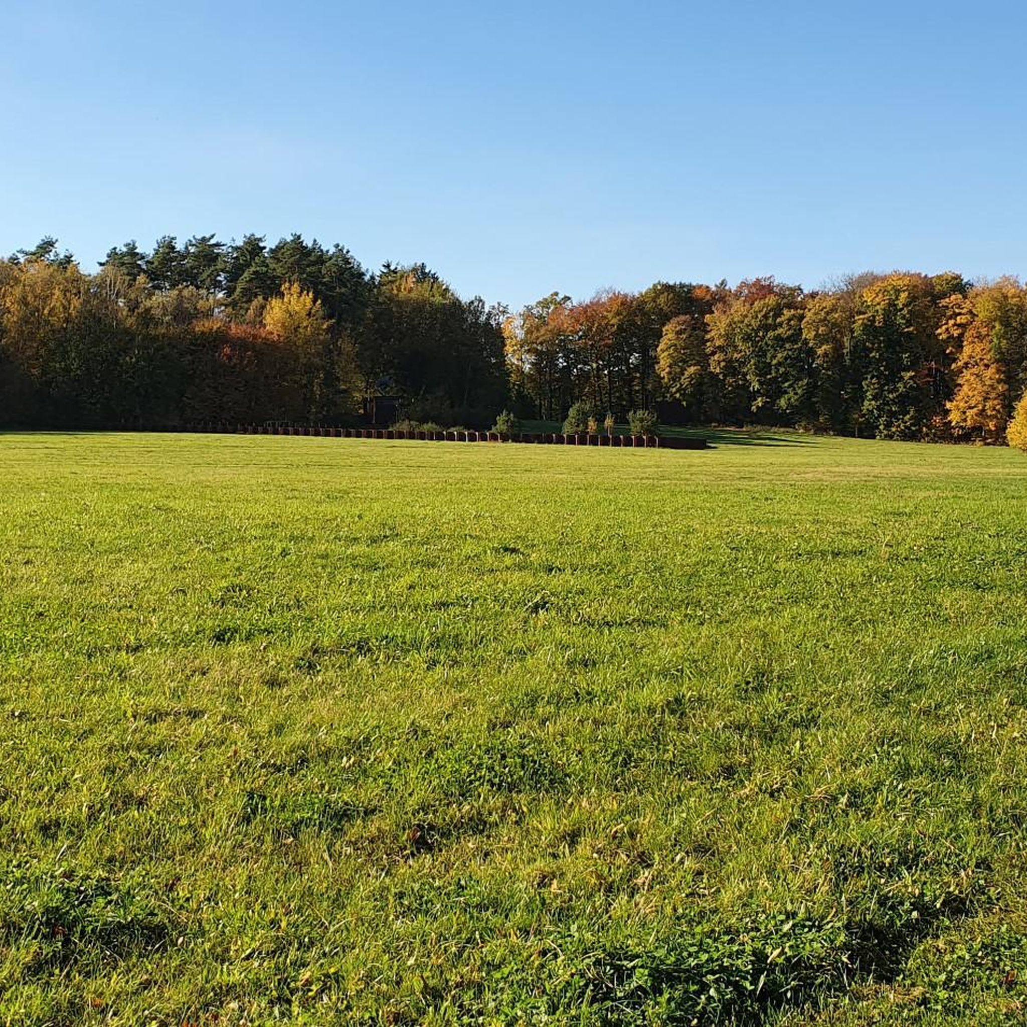
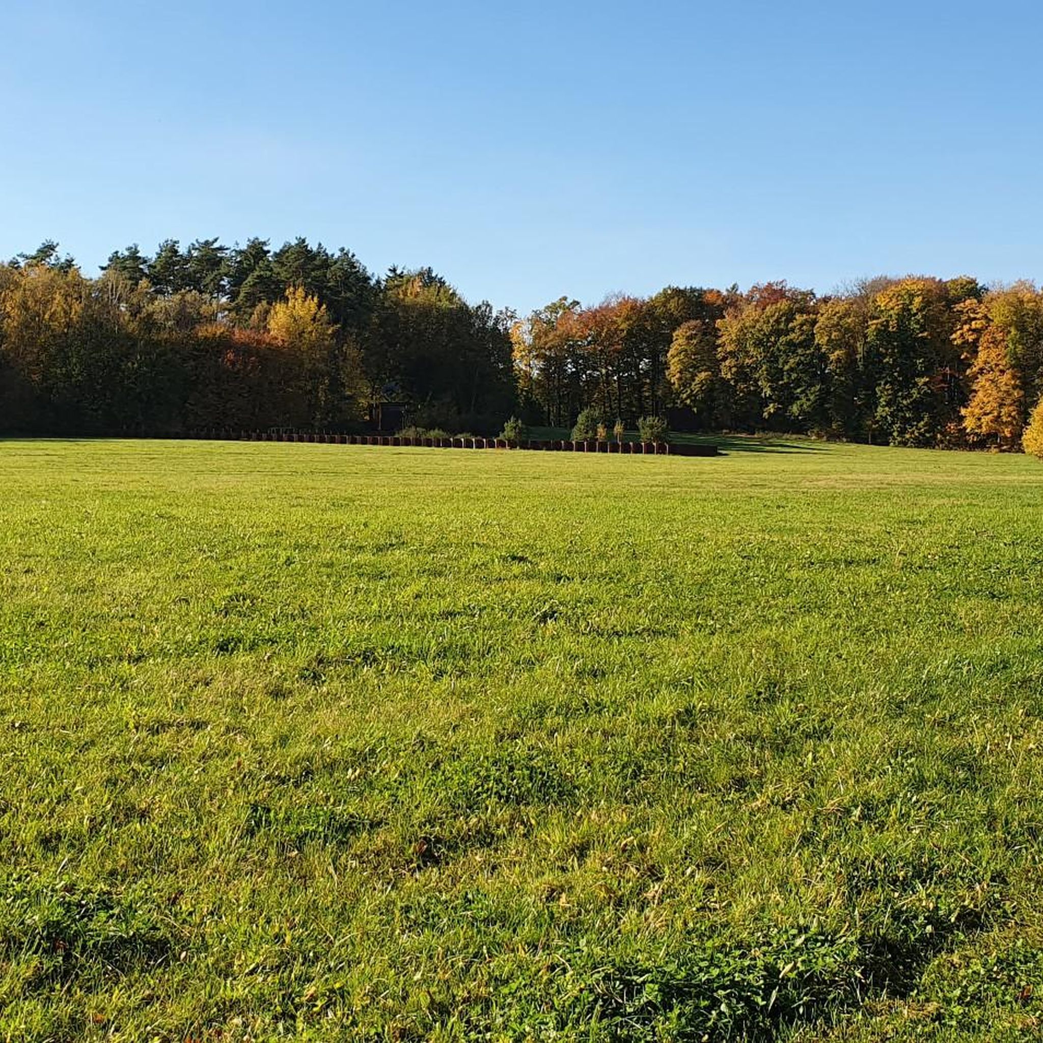
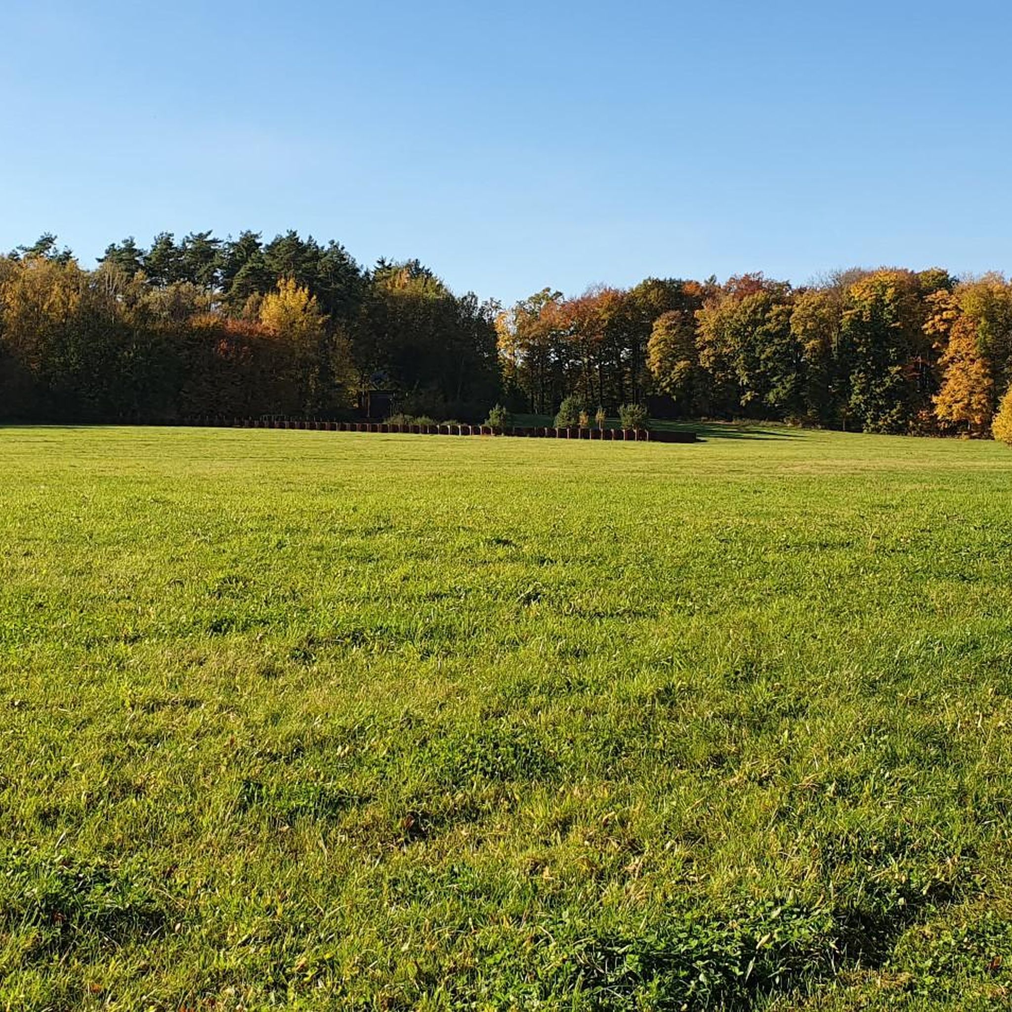
The approximately 30 boulders made of gneiss and granite are the remains of two megalithic tombs that once stood side by side on this site. Many megalithic tombs have been destroyed over time. Some of the vandalism is certainly due to the superstition of people who viewed the megalithic tombs as pagan monuments. They believed they could only have been built with the help of the devil. With the onset of industrialization, the boulders were blasted to obtain building materials for roads and buildings. The stones were even sold to coastal regions, where they were used to build dikes and harbors.
1
0
Frequently Asked Questions
How many running routes are available in The Wiehen Hills?
The Wiehen Hills offer a wide variety of running experiences, with over 400 routes available for you to explore. These trails cater to different fitness levels, ensuring there's something for everyone.
What is the overall difficulty level of running trails in The Wiehen Hills?
The running trails in The Wiehen Hills offer a good mix of difficulties. You'll find over 60 easy routes, nearly 300 moderate paths, and 50 more challenging trails, providing options for all experience levels from leisurely jogs to intense uphill workouts.
What kind of terrain can I expect on the jogging routes in The Wiehen Hills?
The Wiehen Hills are characterized by lush forests and rolling hills. You can expect to run on well-maintained forest paths with gentle ups and downs, as well as some steeper ascents for a more challenging workout. The landscape provides a dynamic environment with varied elevation changes, reaching up to 320 meters at Heidbrink.
Are there routes with scenic viewpoints in The Wiehen Hills?
Yes, many routes offer stunning vistas. For example, the Wittekindsberg Nature Reserve features trails with breathtaking views from elevated viewpoints. The Kaiser Wilhelm Monument also provides stunning vistas overlooking the surrounding countryside, making it a rewarding destination for a run. You can also find impressive views from the Schmittenhöhe Summit Cross (Kalkriese Hill).
What do other runners enjoy about the trails in The Wiehen Hills?
The running routes in The Wiehen Hills are highly rated by the komoot community, with an average score of 4.3 out of 5 stars from over 200 reviews. Nearly 4000 runners have used komoot to explore the varied terrain, often praising the lush forests, rolling hills, and well-maintained paths that offer options for different ability levels.
Are there any family-friendly running paths in the region?
Yes, The Wiehen Hills offer several routes suitable for families. Many of the easy and moderate trails feature well-maintained forest paths with gentle gradients, perfect for a relaxed jog with children. Consider routes that pass by attractions like the Waldwinkel Bathing Lake for a pleasant family outing.
Can I bring my dog on the running trails in The Wiehen Hills?
Generally, the forest paths and natural trails in The Wiehen Hills are dog-friendly. It's always recommended to keep your dog on a leash, especially in nature reserves or areas with wildlife, and to respect local regulations. The diverse terrain and lush forests provide a great environment for you and your canine companion.
Are there circular running routes in The Wiehen Hills?
Absolutely, many of the running routes in The Wiehen Hills are designed as loops, allowing you to start and finish at the same point. A popular example is the Waldwinkel Bathing Lake – Neu Barenaue Castle loop, which is 4.3 miles (6.9 km) long. Another favorite is the Venner Berg Observation Tower – Venne Observation Tower loop, offering scenic views through rolling hills.
What are some longer, more challenging running routes in the area?
For those seeking a greater challenge, The Wiehen Hills offer routes with significant elevation changes and longer distances. The Süntelstein Standing Stone – Knollmeyer's Mill loop is a difficult 43.1 km (26.8 miles) route with over 400 meters of ascent, providing an intense workout through varied forest terrain.
Are there any interesting landmarks or historical sites along the running routes?
Yes, the region is rich in history and notable sights. You can run past the impressive Kaiser Wilhelm Monument, which offers historical significance and great views. The area also features archaeological sites like Süntelstein and the Museum und Park Kalkriese, which provides interesting exhibits related to the Battle of the Teutoburg Forest. The Süntelstein Standing Stone – Süntelstein Rock Formation loop is a great way to explore some of these historical elements.
Where can I find parking for the running routes in The Wiehen Hills?
Many trailheads and popular starting points for running routes in The Wiehen Hills offer designated parking areas. For routes originating near attractions like the Museum und Park Kalkriese, you'll typically find visitor parking available. It's advisable to check specific route descriptions on komoot for details on parking facilities near your chosen starting point.
Are there routes suitable for beginners in The Wiehen Hills?
Absolutely. Beginners can find numerous easy routes with gentle gradients and well-maintained paths. For instance, the St. Johannis Church Engter – Holländer Shop loop is a moderate 7.9 km (4.9 miles) route with minimal elevation gain, making it a good option for those new to trail running. Look for routes marked as 'easy' or 'moderate' with lower elevation changes.
Most popular routes around The Wiehen Hills
Most popular attractions around The Wiehen Hills

Get inspired with the komoot mobile app


Explore more
Browse the best Running Trails & Routes in other regions.
