The best running trails around Benther Berg
4.4
(2101)
60,037
runners
654
runs
Jogging around Benther Berg offers a varied experience through a predominantly wooded ridge, rising about 100 meters above the surrounding Ronnenberg area. The region is characterized by mixed deciduous forests and an extensive network of paths, providing a natural, shaded environment. From its highest point, Benther Berg offers elevated views of the Calenberger Land, the Deister hills, and the Hanover cityscape. This area features diverse ecosystems, including forest-grassland complexes and small bodies of water, making it a rich landscape for running.
Best jogging routes around Benther Berg
- The most popular jogging route is View of Gehrden – View of Hannover skyline loop from Badebornteich, a 9.1 miles (14.7 km) trail that takes 1 hour 39 minutes to complete. This route offers panoramic views of the Hannover cityscape.
- Another top favourite among local runners is Benther Berg Summit – View of Gehrden loop from Hannover, a moderate 7.5 miles (12.1 km) path. This route ascends to the Benther Berg summit, providing views towards Gehrden.
- Local runners also love the Benther Berg Summit – View of Gehrden loop from Badebornteich, a 4.8 miles (7.8 km) trail leading through the wooded terrain to the summit, often completed in about 53 minutes.
- Jogging around Benther Berg is defined by wooded hills, elevated viewpoints, and diverse forest-grassland complexes. The extensive network of paths offers options for different ability levels, from easy jogs to more challenging running routes.
- The routes in Benther Berg are highly rated by the komoot community with an average score of 4.4 stars from more than 1600 reviews. More than 51000 runners have used komoot to explore Benther Berg's varied terrain.
Last updated: October 8, 2026
4.7
(33)
575
runners
14.7km
01:39
210m
210m
Moderate run. Good fitness required. Mostly paved surfaces. Suitable for all skill levels.
4.5
(13)
264
runners
12.1km
01:26
270m
270m
Moderate run. Good fitness required. Mostly paved surfaces. Suitable for all skill levels.

4.8
(9)
103
runners
7.41km
00:48
100m
100m
Moderate run. Good fitness required. Mostly paved surfaces. Suitable for all skill levels.
4.8
(5)
38
runners
7.80km
00:54
150m
150m
Moderate run. Good fitness required. Mostly paved surfaces. Suitable for all skill levels.
4.0
(1)
32
runners
7.33km
00:50
130m
130m
Moderate run. Good fitness required. Mostly paved surfaces. Suitable for all skill levels.
Get access to more routes and recommendations from other explorers.
Already have an account?
Our route recommendations are based on thousands of hikes, rides, and runs completed by other people on komoot.
Start today with a free account
Your next adventure awaits.
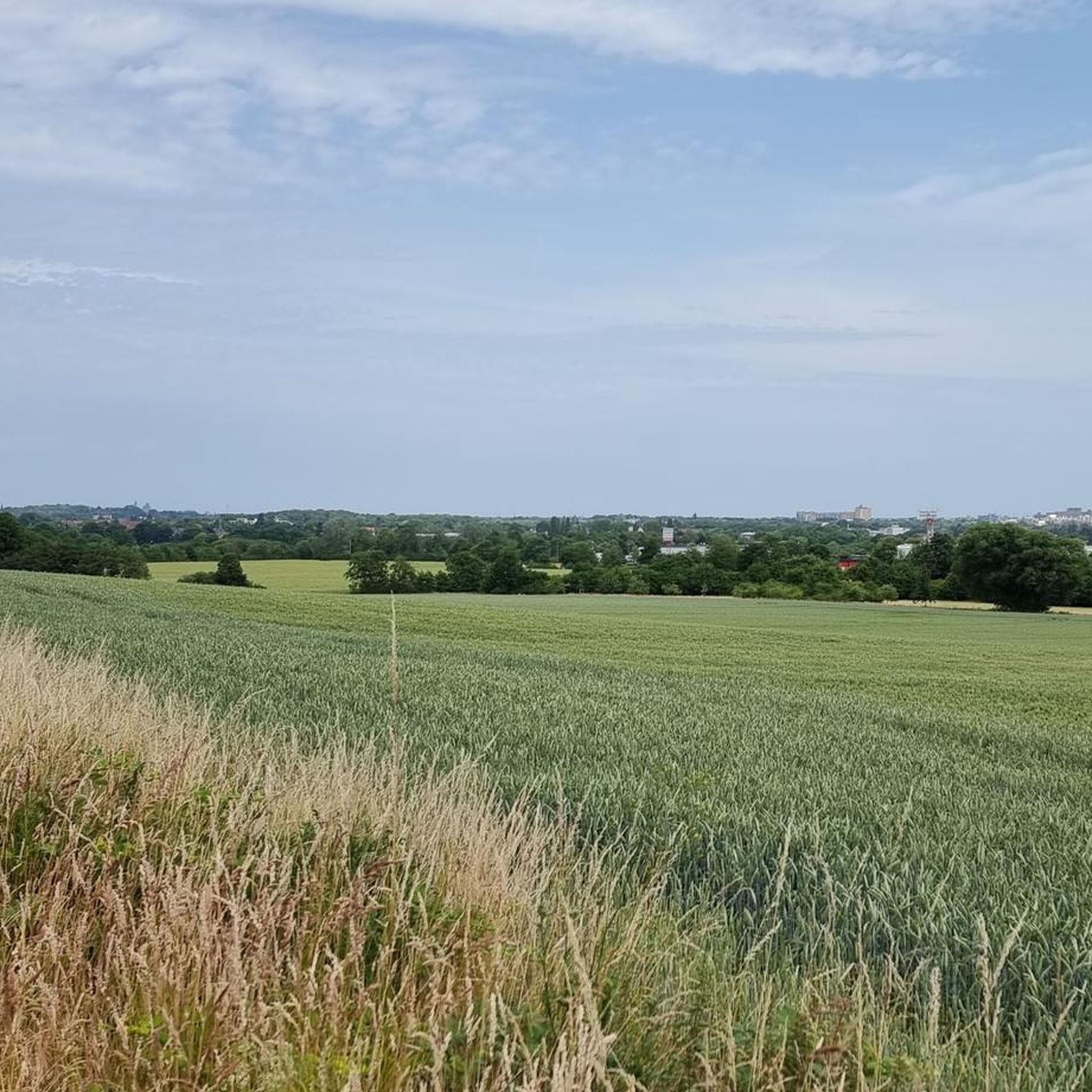
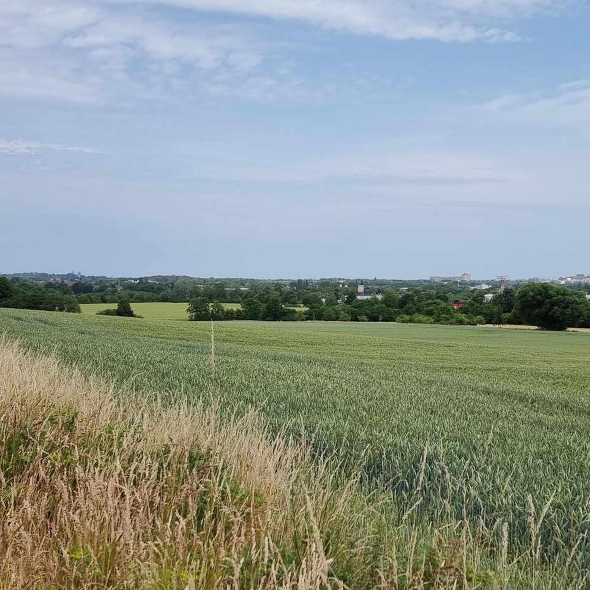
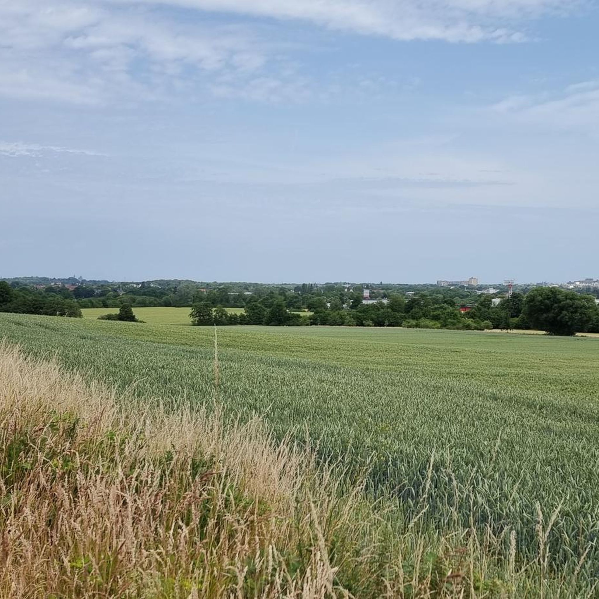
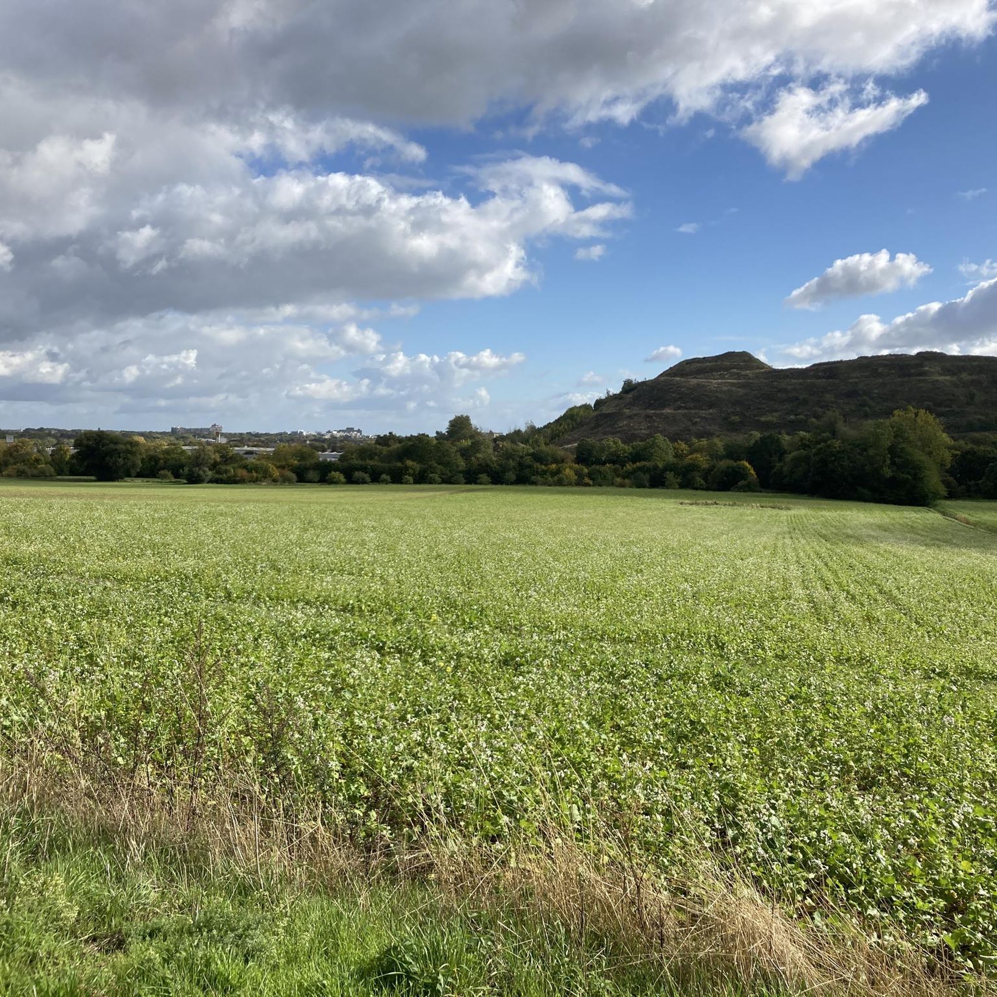

Tips from the Community

Easily manageable with e-bikes or for good cyclists.
0
0

Beautiful wide view from the edge of the forest towards Gehrden and Deister.
1
0

The burial ground, consisting of 27 mounds, is the burial site of a farming community that lived here 3,500 years ago.
0
0

Not only on Gehren, but also on Benthe and Sieben Trappen
1
0

Easiest climb to Benther Berg. While here you go up to around 13%, from other sides it goes up to 20.
0
0

Very fine dining. Beautiful garden
1
1

I have to pause here every now and then. So beautiful!
1
0

Hiking highlight 173.2 m above sea level
4
1
Frequently Asked Questions
How many running routes are available in Benther Berg?
Benther Berg offers a vast network of trails, with over 650 running routes available on komoot. These range from easy jogs to more challenging runs, catering to various fitness levels.
Are there easy jogging routes suitable for beginners or families?
Yes, Benther Berg has approximately 58 easy jogging routes. The predominantly wooded terrain and well-developed network of paths make it suitable for beginners and families looking for a gentle run. The area's diverse ecosystems and natural features provide a pleasant environment for all ages.
Can I find circular running routes in Benther Berg?
Absolutely. Many of the running paths in Benther Berg are designed as loops, allowing you to start and finish at the same point. An example is the Kammweg Benther Berg – Benther Berg Terraces loop from Benthe, which is a moderate 7.3 km trail.
What kind of views can I expect while jogging on Benther Berg?
From its highest point, Benther Berg offers picturesque views of the surrounding Calenberger Land and the Deister hills. You can also find vantage points to admire the Hanover cityscape. Routes like the View of Gehrden – View of Hannover skyline loop from Badebornteich are specifically known for their panoramic vistas.
Are there any interesting landmarks or attractions along the running trails?
While jogging, you can encounter several points of interest. The Benther Berg Summit itself offers great views. You might also come across the Ruins of the Benther Berg Terraces, which are remnants of a former excursion restaurant, adding a touch of history to your run.
Are dogs allowed on the jogging routes in Benther Berg?
Benther Berg is a popular local recreation area, and generally, dogs are welcome on the trails. However, it's always advisable to keep your dog on a leash, especially in areas with wildlife or near agricultural fields, to respect the local environment and other visitors.
Where can I park when visiting Benther Berg for a run?
While specific parking lots are not detailed in the route descriptions, Benther Berg is easily accessible. Look for designated parking areas in the nearby villages such as Benthe or Ronnenberg, which serve as common starting points for trails into the Berg.
How can I reach the Benther Berg jogging trails using public transport?
Benther Berg is located west-southwest of Hanover and borders the city limits, making it an accessible local recreation area. Public transport options from Hanover, such as buses, typically serve the surrounding towns like Benthe or Ronnenberg, from where you can access the trail network. Check local transport schedules for the most convenient connections.
What do other runners enjoy most about the trails here?
The running routes in Benther Berg are highly rated by the komoot community, with an average score of 4.4 stars from over 1600 reviews. Runners often praise the varied experience through the predominantly wooded ridge, the extensive network of paths, and the natural, shaded environment that makes for an enjoyable run.
Are there less crowded running options in Benther Berg?
While Benther Berg is a popular area, its extensive network of trails means you can often find quieter paths, especially during off-peak hours or by exploring some of the less-trafficked routes. The diverse terrain offers plenty of options to spread out and enjoy a peaceful run.
What is the best time of year to go jogging in Benther Berg?
Benther Berg's mixed deciduous forests provide a beautiful backdrop for jogging throughout the year. Spring and autumn offer pleasant temperatures and vibrant foliage. In summer, the shaded trails offer respite from the heat, while winter runs can be picturesque, though some paths might be slippery or muddy.
Are there any specific considerations for winter jogging?
When jogging in Benther Berg during winter, be mindful of potentially slippery conditions due to ice or snow on the trails. The wooded areas can also be darker earlier in the day. Dress in layers, wear appropriate footwear with good grip, and consider bringing a headlamp for early morning or late afternoon runs.
Are there cafes or refreshment options near the jogging trails?
While there are no cafes directly on the trails, the surrounding villages like Benthe offer local establishments where you can find refreshments before or after your run. Historically, the area even had popular excursion restaurants like 'Erichs Ruh', though these are now ruins. For current options, it's best to check the local amenities in the nearby towns.
Most popular routes around Benther Berg
Most popular attractions around Benther Berg

Get inspired with the komoot mobile app


Explore more
Browse the best Running Trails & Routes in other regions.
