The best cycling routes around Burgberg
4.6
(3752)
14,721
riders
427
rides
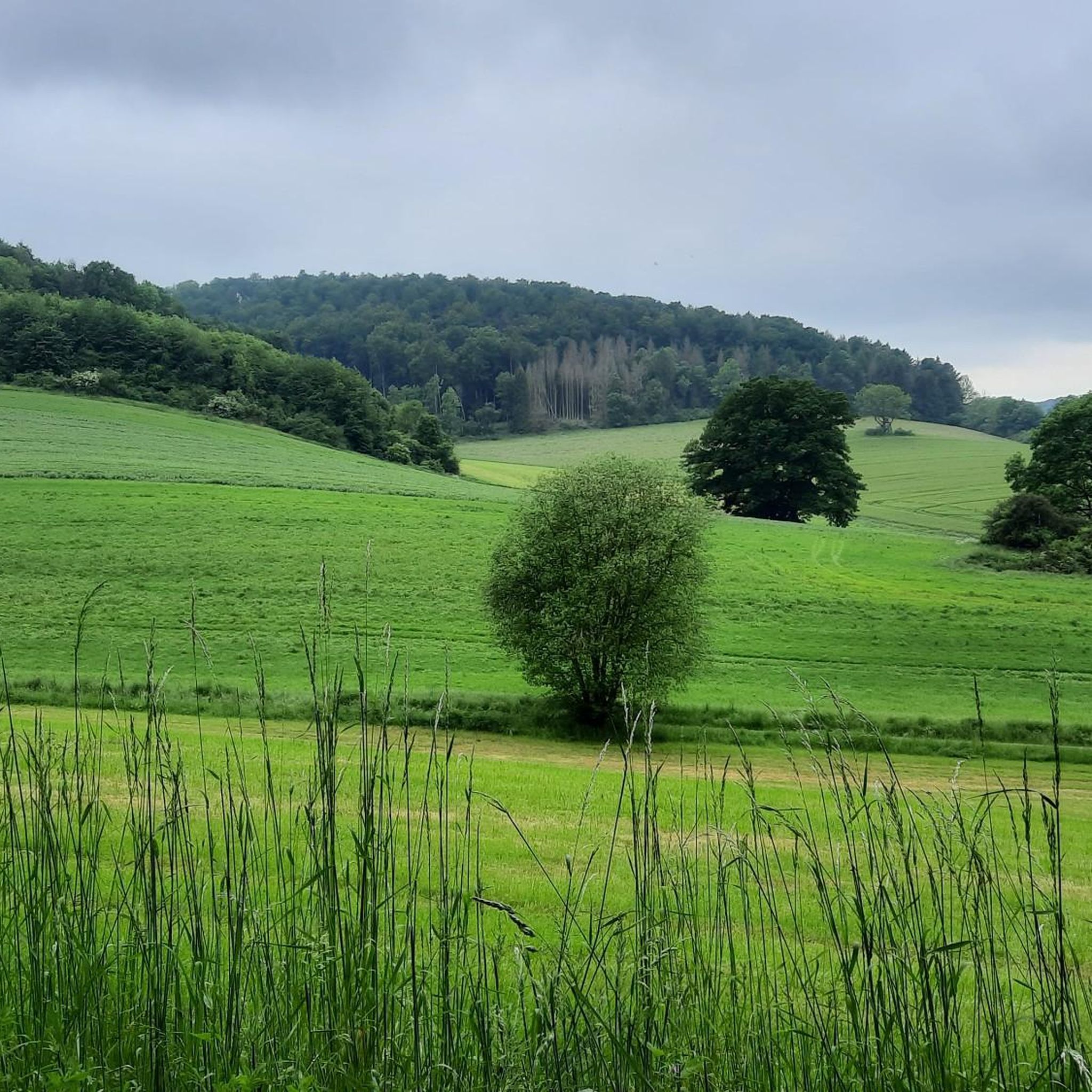
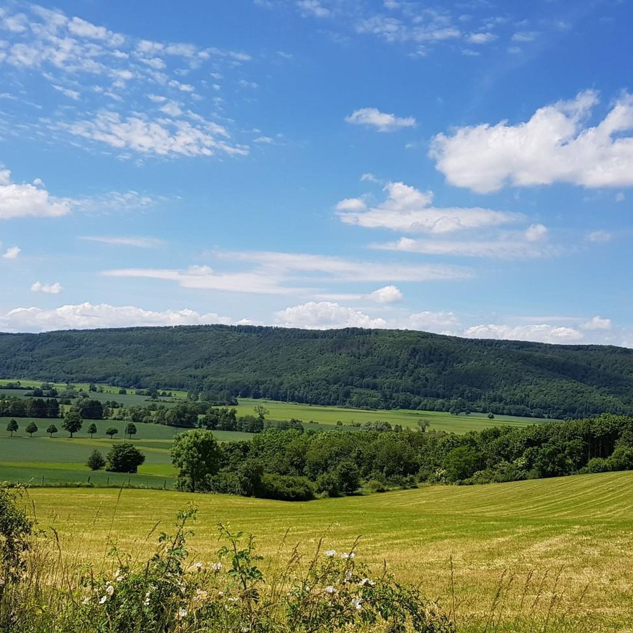
Touring cycling around Burgberg offers diverse routes through the picturesque Alpine and pre-Alpine landscapes of the Allgäu. The region features green mountain meadows, rolling hills, and views of majestic high mountains like the Grünten. Cyclists can explore varied terrain, from river valleys along the Iller to routes passing through forests and moorland areas.
Best touring cycling routes around Burgberg
- The most popular touring cycling route is St. Johannis Church (Bevern) – Försterberg Tower Stadtoldendorf loop from Schloß Bevern, a…
Last updated: November 3, 2026
4.6
(38)
138
riders
Moderate bike ride. Good fitness required. Mostly paved surfaces.
5.0
(1)
15
riders
Hard bike ride. Very good fitness required. Mostly paved surfaces.

5.0
(1)
8
riders
16.0km
00:57
80m
80m
Easy bike ride. Mostly paved surfaces.
8
riders
5.99km
00:22
50m
50m
Easy bike ride. Mostly paved surfaces.
5.0
(3)
5
riders
23.8km
01:51
440m
440m
Moderate bike ride. Good fitness required. Mostly paved surfaces.
Get access to more routes and recommendations from other explorers.
Already have an account?
Our route recommendations are based on thousands of hikes, rides, and runs completed by other people on komoot.
Start today with a free account
Your next adventure awaits.
Tips from the Community


About three kilometers behind Holzminden, you drive along the Weser dike and have a wonderful view of the Weser and the Weserbergland.
3
0

There's a small bicycle ferry in Heinsen, which is also very convenient if you don't want to take the car ferry in Polle. Or if it's not running due to low tide.
1
0

Again and again you have wonderful views of the Weser, I particularly liked this one.
3
0

The Weser promenade promises a holiday atmosphere. Located directly at the intersection between the pedestrian zone and the popular Weser cycle path, the Fragrance Garden is an attractive meeting place for all generations.
1
0

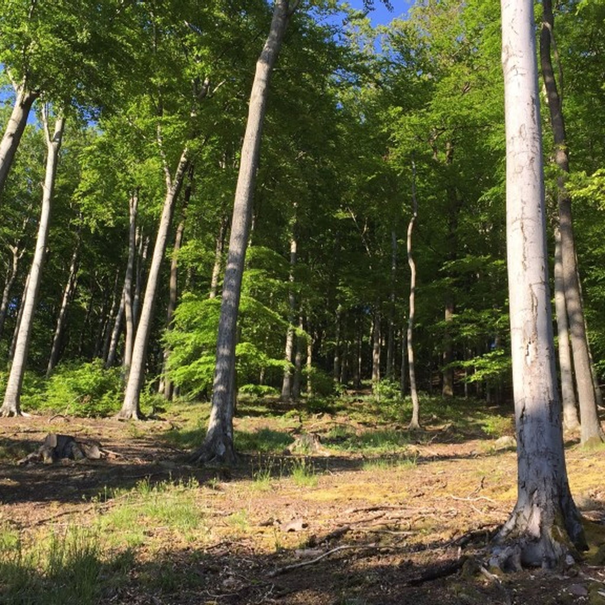
As is so often the case, the name hints at its origins: Here, in the middle of the forest, a shooting range was built around 1660 by order of the duke. From Bevern Castle, the Junkers, along with huntsmen, gamekeepers, and gamekeepers, often came out to test their marksmanship with muzzle-loading rifles and to hold shooting contests. A keg or two of beer was probably also involved. The first "shooting house" was built for storage purposes, but eventually fell victim to a fire, which was suspected of being the work of "free shooters" (poachers). The pervasive poaching at the time ("The forestry keeper complained a lot that poaching was increasing so much in the Weser district...") prompted more than just a wooden barracks. A "Ducal Chamber Decree" of 1721 ordered the construction of a gamekeeper's house. Based on plans drawn up by Chief Forester Fricke on May 7, 1722, a building permit was granted. The daughter of the first resident, oak binder Siegmund Steimel, became the first person born in Schießhaus (Elizabeth Steimel, *1726). Christoph Borchers, Steimel's successor, who died in 1744, worked his way up through diligence and dedication from gamekeeper to "riding forester at the Schießhaus." Over the decades, the ravages of time took their toll on the forester's house. After 90 years, it was replaced by a new building in 1812. The loopholes in the protective wall dating back to the Napoleonic era can still be seen today. Even before this, from 1775, the gamekeeper's house had already gained company. The Mund family, who came from the Harz region, would later shape Schießhaus's history. The old Klaftermeister Andreas Mund died in 1829. His two sons Wilhelm and Carl significantly expanded the hamlet. Wilhelm built the "Grüner Jäger" inn around 1860, which attracted guests from near and far for 100 years. In 1856, Carl founded the Waldmühle mill in the Hasselbach valley, about 1 km south of the village. Several settlement houses were added in the 20th century, the last in 1992 on the site of the old home of the Specht family, who also originally came to Schießhaus in 1775. Today, this remote but peaceful village has 11 houses and 31 residents. Hannes Blieschies: "In den Sollingwäldern," 2nd edition 2010, pages 75-83
3
0

Once again a great cycle path and a beautiful nature experience.
1
0

In spring during the flowering period these are great photo motifs
1
0
Frequently Asked Questions
How many touring cycling routes are available around Burgberg?
There are over 440 touring cycling routes around Burgberg, catering to various skill levels. This includes approximately 135 easy routes, 160 moderate routes, and 145 difficult routes, ensuring options for every cyclist.
What kind of landscapes can I expect to see on touring cycling routes in Burgberg?
Touring cycling around Burgberg offers diverse routes through picturesque Alpine and pre-Alpine landscapes. You'll encounter green mountain meadows, rolling hills, and majestic high mountains like the Grünten. Routes also trace river valleys along the Iller and pass through forests and moorland areas, providing a varied and scenic backdrop.
Are there any family-friendly touring cycling routes in Burgberg?
Yes, Burgberg offers many accessible paths suitable for families, particularly those along the Iller River. While specific family-friendly routes with playgrounds aren't detailed in the provided data, the region's generally flatter sections and well-maintained paths make it suitable for family outings. Look for routes categorized as 'easy' for the most family-friendly options.
What are some natural features or landmarks I can explore while cycling in Burgberg?
The region is rich in natural beauty and historical sites. You can cycle past the dramatic Lady's Slipper Meadow (Frauenschuhwiese) Weser Uplands, or discover the Royal Prussian Optical Telegraph Station No. 28. Other notable natural highlights include the Lady's Slipper Orchid Meadow on the Circular Trail and the WS Stamp 11: Orchid Meadow. The Starzlachklamm gorge and Hinanger Wasserfall are also prominent natural attractions in the wider region.
What do other touring cyclists say about the routes in Burgberg?
The touring cycling routes in Burgberg are highly regarded by the komoot community, with an impressive average rating of 4.5 stars from over 1900 reviews. Cyclists often praise the varied terrain, from accessible river paths to more challenging ascents, and the stunning views of the Alpine and pre-Alpine landscapes.
Are there any circular touring cycling routes in the area?
Yes, many routes around Burgberg are designed as loops. For example, the moderate St. Johannis Church (Bevern) – Försterberg Tower Stadtoldendorf loop from Schloß Bevern offers a balanced touring experience. Another option is the challenging Luther Church Holzminden – Harbor Bar Holzminden loop from Schloß Bevern, which provides expansive views and significant elevation gains.
What is the terrain like on touring cycling routes around Burgberg?
The terrain varies significantly, offering something for every skill level. You'll find routes with mostly paved surfaces suitable for road bikes and e-bikes, especially along river valleys like the Iller. Other routes include unpaved sections, rolling hills, and more demanding ascents into the mountains, requiring good fitness. The region is characterized by green mountain meadows and forests.
Can I access touring cycling routes in Burgberg using public transport?
While specific public transport connections for bikes to individual trailheads are not detailed, the region is generally well-connected. Many routes start from central locations or villages. It's advisable to check local public transport schedules and bike carriage policies for the Allgäu region before planning your trip.
Are there parking facilities available near the touring cycling routes?
Yes, parking is generally available. For instance, the Bevern Burgberg Hiking Car Park is a designated parking area that can serve as a starting point for tours. Many villages and attractions also offer parking options, though availability may vary.
What is a good route for experiencing river landscapes?
For scenic river landscapes, consider the View of the Weser – Weser Cycle Path loop from Naturschutzgebiet Graupenburg. This moderate 11.1-mile (17.8 km) trail leads through picturesque river scenery, often completed in about 1 hour and 6 minutes.
Are there any longer touring cycling routes for more experienced cyclists?
For experienced cyclists seeking a longer challenge, the Schießhäuser Rest Area – Schießhäuser Rest Area loop from Schloß Bevern is a moderate 23.9-mile (38.5 km) route with significant elevation gain, offering a rewarding ride through varied landscapes.
What is the best time of year for touring cycling in Burgberg?
The region is beautiful throughout the warmer months. Spring and autumn offer pleasant temperatures and stunning scenery, with autumn providing vibrant forest colors. Summer is also popular, though some ascents might be more challenging in direct sun. Winter can be picturesque, but many routes may be covered in snow or ice, making them unsuitable for touring cycling.
Most popular routes around Burgberg
Most popular attractions around Burgberg

Get inspired with the komoot mobile app


Explore more
Browse the best Cycling routes in other regions.
