The best road cycling routes around Dittenheim
4.5
(281)
4,006
riders
17
rides
Road cycling routes around Dittenheim traverse a landscape characterized by rolling hills and open fields, typical of the Franconian Lake District. The region features a mix of agricultural land and small forested areas, with several lakes providing scenic backdrops. Elevations are generally moderate, with no peaks exceeding 200 meters, making it suitable for varied road cycling experiences. The terrain offers a balance of flat sections and gentle ascents, providing diverse options for road cyclists.
Best road cycling routes around Dittenheim
…Last updated: September 24, 2026
5.0
(1)
29
riders
63.7km
02:54
500m
500m
Moderate road ride. Good fitness required. Mostly well-paved surfaces and easy to ride.
5.0
(1)
26
riders
38.8km
01:45
360m
360m
Moderate road ride. Good fitness required. Mostly well-paved surfaces and easy to ride.

29
riders
51.7km
03:11
120m
120m
Moderate road ride. Good fitness required. Some segments of this route may be unpaved and difficult to ride.
5.0
(1)
10
riders
63.6km
02:47
460m
460m
Moderate road ride. Good fitness required. Mostly well-paved surfaces and easy to ride.
11
riders
27.3km
01:56
130m
130m
Easy road ride. Great for any fitness level. Mostly well-paved surfaces and easy to ride.
Get access to more routes and recommendations from other explorers.
Already have an account?
Our route recommendations are based on thousands of hikes, rides, and runs completed by other people on komoot.
Start today with a free account
Your next adventure awaits.

Tips from the Community

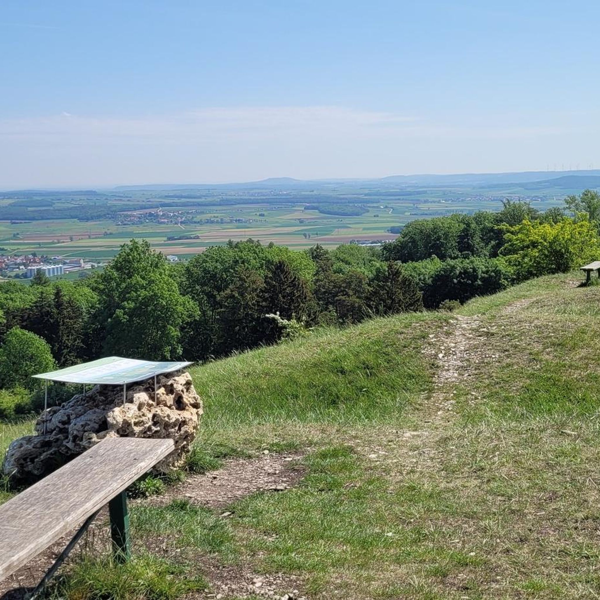
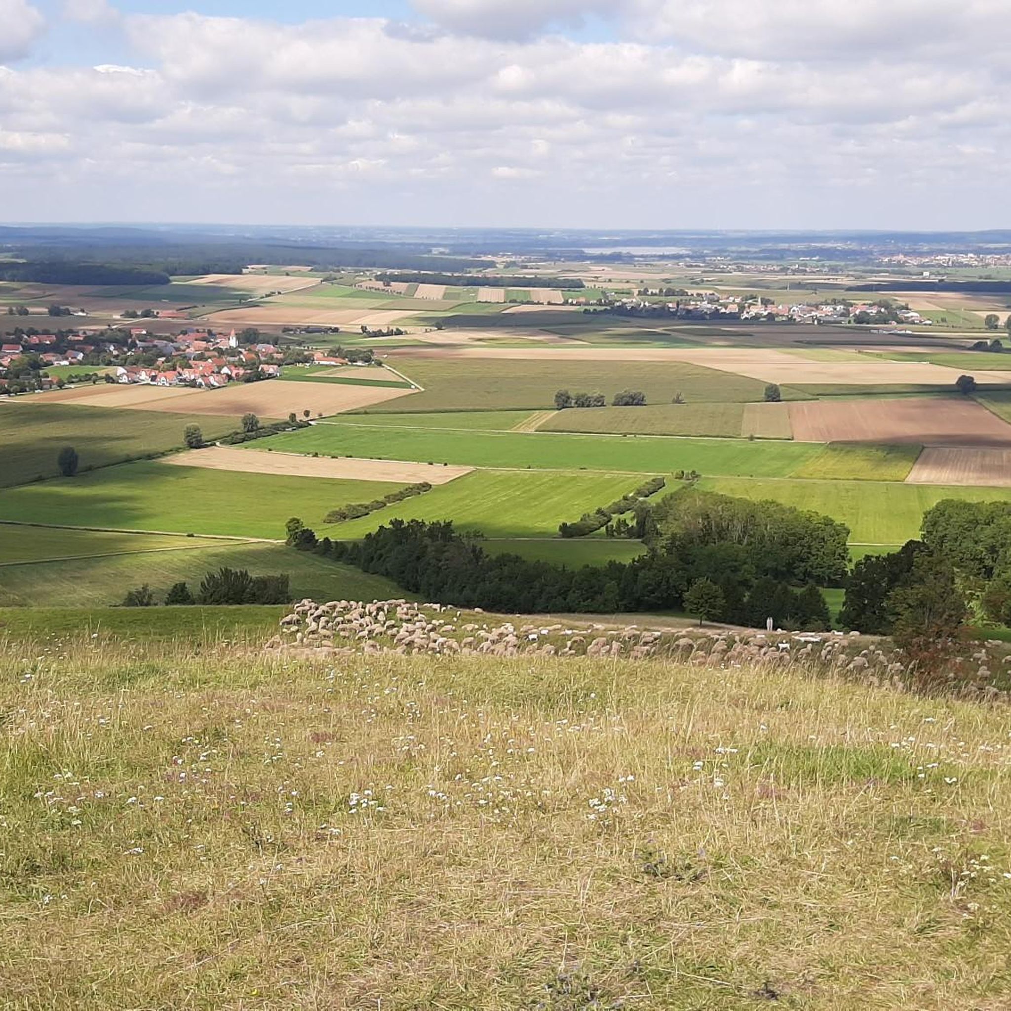
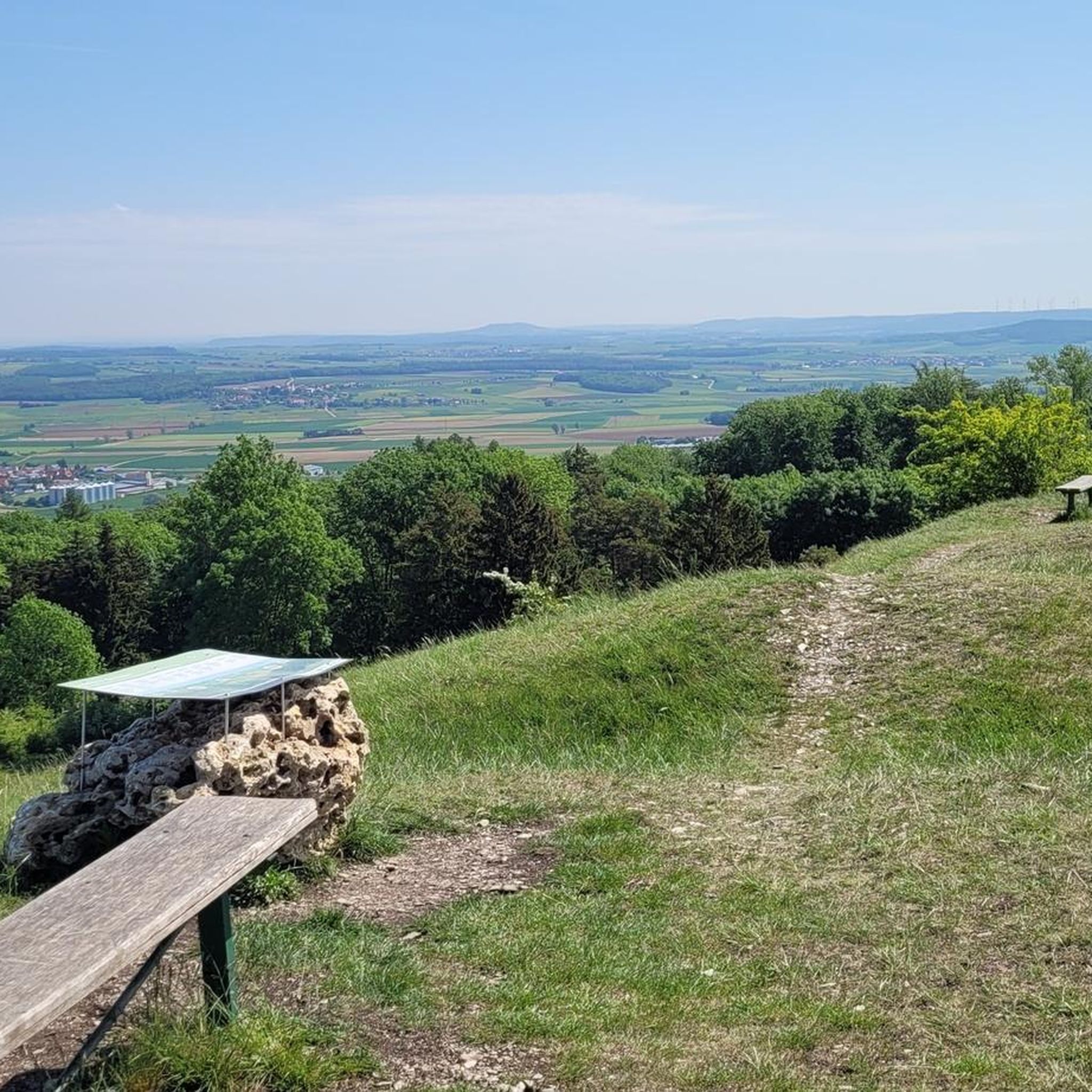
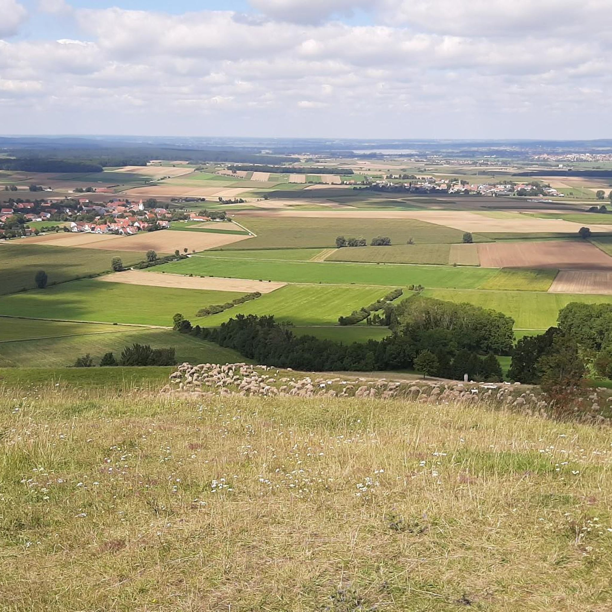
There are great photo opportunities to the right and left here.
0
0

Not recommended in hot weather, as there are no or very few places to stop for refreshments. Also, there is very little shade, I would only ride this route in moderate temperatures. Then you can also enjoy the views.
1
0

Great bridge as stone construction
1
0

The former Chapel of the Holy Cross stood here.
0
0

Gunzenhausen, a pearl on the Altmühl cycle path.
5
0
I always enjoy riding this bike path.
4
2

The entire Altmühl Valley Cycle Path is worth a bike ride. Ideally, a multi-day tour.
4
1
Frequently Asked Questions
How many road cycling routes are available around Dittenheim?
There are over a dozen road cycling routes around Dittenheim, catering to various skill levels. The komoot community has mapped 15 routes in total, ranging from easy to difficult.
What kind of terrain can I expect when road cycling near Dittenheim?
The Dittenheim region, part of the Franconian Lake District, features a landscape of rolling hills and open fields. You'll encounter a mix of agricultural land and small forested areas, with scenic lake views. Elevations are generally moderate, making for diverse cycling experiences with both flat sections and gentle ascents.
Are there any easy road cycling routes suitable for beginners or families?
Yes, there is one easy road cycling route available. While most routes are moderate, the terrain's generally moderate elevations make many of them accessible for those looking for a less strenuous ride. For a moderate option that's not overly challenging, consider the Gunzenhausen Old Town – St. Mary's Church, Gunzenhausen loop from Dittenheim, which is 31.0 km long.
Are there any challenging road cycling routes around Dittenheim?
Yes, there is one difficult road cycling route for those seeking a greater challenge. Additionally, many of the 13 moderate routes offer substantial distances and elevation gains, such as the Igelsbachsee – Little Brombach Lake loop from Sausenhofen, which covers 63.4 km with nearly 500 meters of elevation gain.
What are some scenic highlights or viewpoints along the road cycling routes?
Many routes offer picturesque views, especially around the lakes. You can find beautiful spots like the Benches overlooking the Großer Brombachsee. The region is characterized by its lakes, including the Great Brombach Lake, Little Brombach Lake, and Allesheimer Pond, which provide stunning backdrops for your ride.
Are there any long-distance road cycling routes in the Dittenheim area?
Several routes offer longer distances for endurance cyclists. The Little Brombach Lake – Altmühlsee loop from Sammenheim is a substantial 63.7 km ride, and the Igelsbachsee – Little Brombach Lake loop from Sausenhofen is also a lengthy 63.4 km, both providing extensive exploration of the Franconian Lake District.
What do other road cyclists enjoy most about cycling in Dittenheim?
The area is highly rated by the komoot community, with an average score of 4.6 stars from over 150 reviews. Cyclists often praise the varied terrain, which includes rolling hills and open fields, and the beautiful lake views that define the region.
Are there circular road cycling routes available around Dittenheim?
Yes, many of the road cycling routes around Dittenheim are designed as loops, allowing you to start and end at the same point. Examples include the Altmühltal Nature Park loop from Dittenheim and the Weißenburg Market Square – Weißenburg Old Town loop from Dittenheim.
What is the best season for road cycling in Dittenheim?
The Franconian Lake District is generally pleasant for road cycling from spring through autumn. The moderate elevations and open landscapes make it enjoyable in milder weather. Summers are ideal for combining rides with lake activities, while spring and autumn offer cooler temperatures and beautiful scenery.
Are there any points of interest or attractions to explore near the routes?
Absolutely. Beyond the cycling, you can explore natural monuments like Seven Springs or visit facilities such as the Altmühlsee Surf Center. The routes often pass through or near charming towns and natural areas, offering opportunities to discover local culture and nature.
Can I find places to rest or take a break along the road cycling routes?
While specific pub stops aren't detailed for every route, the region offers various huts and shelters, particularly within the Altmühltal Nature Park. You might find spots like the Shelter in Naturpark Altmühltal or the Burgweg Hut, which can serve as convenient resting points.
Most popular routes around Dittenheim
Most popular attractions around Dittenheim

Get inspired with the komoot mobile app


Explore more
Browse the best Road cycling routes in other regions.
