The best running trails around Winzerer Höhen
4.4
(981)
27,944
runners
953
runs
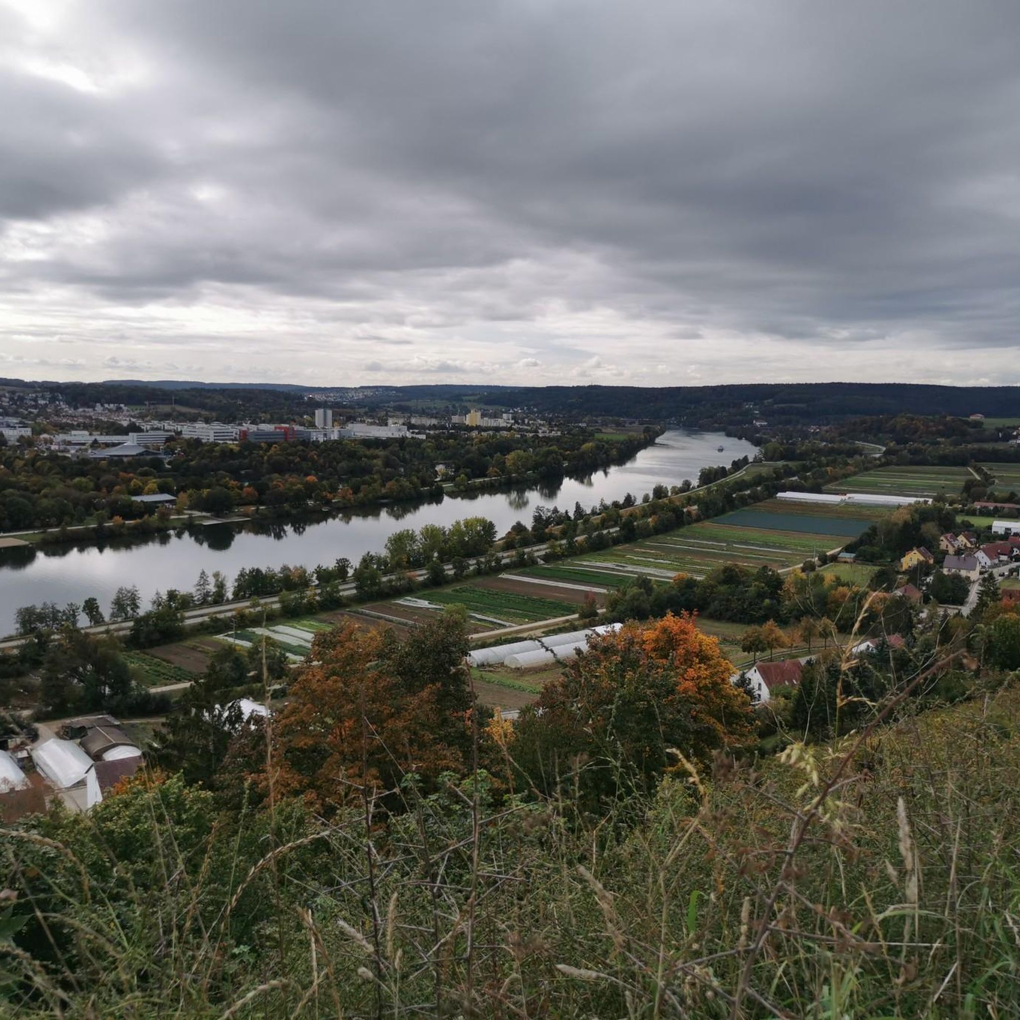
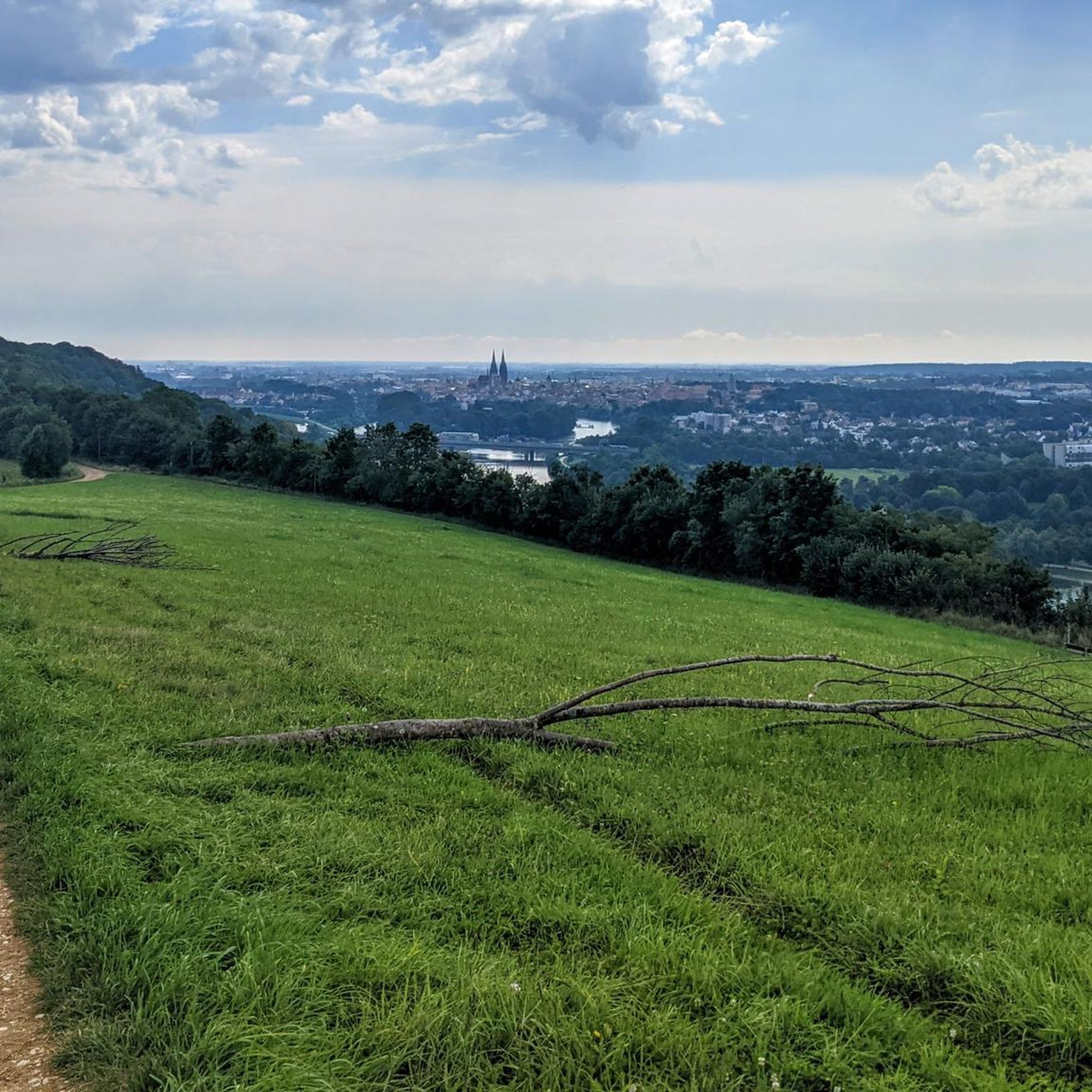
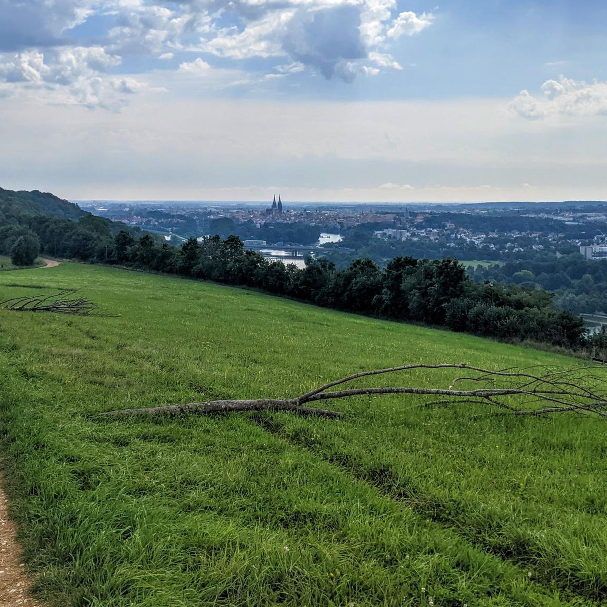
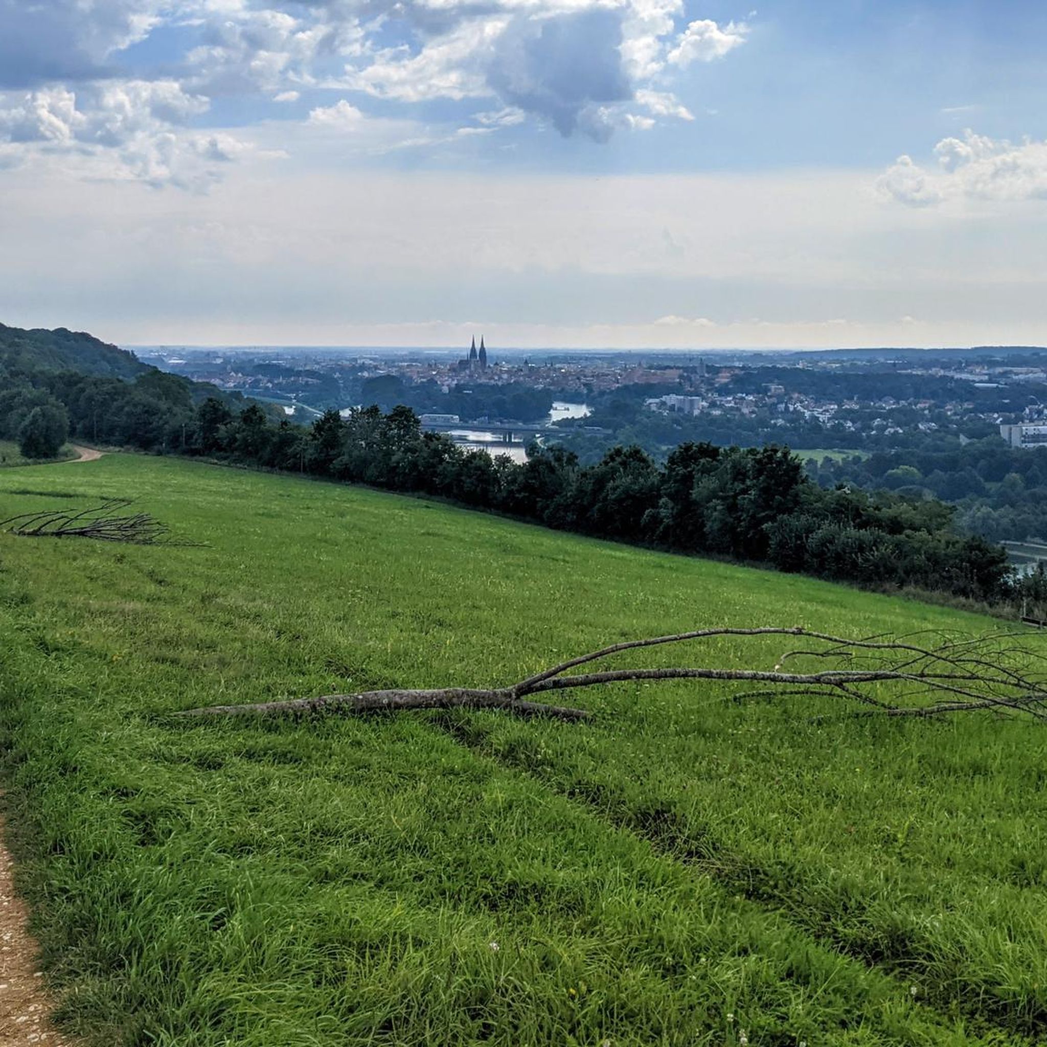
Jogging around Winzerer Höhen offers diverse terrain and scenic views in the northern part of Regensburg. This area features a mix of forested sections, open meadows, and fruit orchards, providing varied running surfaces. The landscape includes gentle hills and offers panoramic views of the Danube River and the historic city. An extensive network of paths and trails caters to different fitness levels, from riverside loops to routes with moderate elevation changes.
Best jogging routes around Winzerer Höhen
- The most popular…
Last updated: July 10, 2026
255
runners
Hard run. Very good fitness required. Mostly paved surfaces. Suitable for all skill levels.
3.0
(3)
115
runners
Easy run. Great for any fitness level. Mostly paved surfaces. Suitable for all skill levels.

Sign up for free
3.0
(1)
63
runners
Moderate run. Good fitness required. Mostly paved surfaces. Suitable for all skill levels.
4.8
(17)
722
runners
Moderate run. Good fitness required. Mostly paved surfaces. Suitable for all skill levels.
4.4
(34)
1,361
runners
9.38km
00:59
20m
20m
Moderate run. Good fitness required. Mostly paved surfaces. Suitable for all skill levels.
Get access to more routes and recommendations from other explorers.
Sign up for free
Already have an account?
Our route recommendations are based on thousands of hikes, rides, and runs completed by other people on komoot.
Start today with a free account
Your next adventure awaits.
Login or Signup
Tips from the Community

A romantic spot for a break, with a view over the Westbad pond. Thanks to the roof, it's nicely shady or protected from the rain.
0
0


Cycle path across the Sinzing Danube Bridge with great views
4
0

The Donaupark was created on the grounds of the former airfield near the former Messerschmitt works. Since the early 1950s, at that time by the Almer gravel quarry, gravel was extensively excavated immediately south of the Danube. After the pond was originally also a swimming lake, it is now a natural body of water.
0
0

Unfortunately, it was closed. More information at: https://de.wikipedia.org/wiki/Spitalkirche_St._Katharina_(Regensburg)
0
2


Very worth seeing, you have to see it
0
2

If the ferry is not running, you can quickly get to the other side of the Danube here
2
0
Frequently Asked Questions
How many running routes are available in Winzerer Höhen?
Winzerer Höhen offers a wide selection of running trails, with over 960 routes available on komoot. These range from easy riverside paths to more challenging runs with varied terrain.
What kind of terrain can I expect on the jogging trails in Winzerer Höhen?
The terrain in Winzerer Höhen is quite diverse, featuring a mix of forested sections, open meadows, and fruit orchards. You'll find paths along the Danube River, as well as trails with moderate elevation changes through gentle hills, providing a varied and engaging running experience.
Are there any easy running routes suitable for beginners in Winzerer Höhen?
Yes, Winzerer Höhen has many easy running options. For example, the Danube Park loop from Westheim is an easy 3.2 km (2.0 miles) route, perfect for a relaxed run. There are over 100 easy routes in the area.
Can I find routes with scenic viewpoints in Winzerer Höhen?
Absolutely! Winzerer Höhen is known for its stunning panoramic views. You can find observation points like the "Grüne Bank" and the Bench With a View of Regensburg, offering magnificent vistas over the Danube River and the historic city of Regensburg. Many trails incorporate these scenic spots.
Are there any family-friendly running trails in Winzerer Höhen?
Winzerer Höhen offers several routes suitable for families, often featuring less challenging terrain and pleasant surroundings. The area also includes amenities like an adventure playground and a barbecue station, making it a great destination for a family outing combined with a run.
Are dogs allowed on the running routes in Winzerer Höhen?
Generally, dogs are welcome on the trails in Winzerer Höhen. It's always recommended to keep your dog on a leash, especially in nature protection areas or when encountering other visitors and wildlife. The varied landscape provides plenty of space for you and your canine companion to enjoy a run.
What do other runners say about the trails in Winzerer Höhen?
The running routes in Winzerer Höhen are highly rated by the komoot community, with an average score of 4.4 stars from over 1,100 reviews. Runners often praise the diverse terrain, the beautiful views of Regensburg and the Danube, and the extensive network of well-maintained paths.
Are there circular running routes available in Winzerer Höhen?
Yes, many of the running routes in Winzerer Höhen are designed as circular loops, allowing you to start and end at the same point. An example is the Vineyard Near Kager – View of the Vegetable Fields loop from Oberwinzer, a moderate 6.0 km (3.7 miles) route.
Where can I park when visiting Winzerer Höhen for a run?
Winzerer Höhen is well-equipped with parking options, particularly near popular trailheads and access points. Specific parking areas can be found close to the main parks and recreational zones within the Winzerer Höhen area, making it convenient to start your run.
What are some notable natural features I might encounter while running in Winzerer Höhen?
Winzerer Höhen boasts a rich natural landscape. You'll run through forested areas, open meadows, and fruit orchards. The area is also a valuable biotope, supporting diverse flora and fauna, including various bird species and protected plants, making for a refreshing natural environment.
Are there any cafes or places to get refreshments near the running routes?
While Winzerer Höhen is primarily a natural area, you can find cafes and pubs in the surrounding areas of Regensburg. For specific amenities directly adjacent to the trails, you might find local farm shops like Westermeier Vegetable Farm Shop, offering refreshments or local produce.
What is the best season for running in Winzerer Höhen?
Winzerer Höhen is suitable for running year-round. Spring and autumn offer pleasant temperatures and beautiful foliage. Summer provides lush green landscapes, while winter can transform the area into a scenic wonderland, sometimes even offering a toboggan run with city views. The varied terrain ensures an enjoyable experience in any season.
Most popular routes around Winzerer Höhen
Most popular attractions around Winzerer Höhen

Get inspired with the komoot mobile app


Explore more
Browse the best Running Trails & Routes in other regions.
