The best walks and hikes around Dippach
4.6
(2796)
7,535
hikers
606
hikes
Hiking around Dippach offers diverse terrain characterized by rolling hills, dense forests, and expansive farmlands. The region features the Dippecherbësch forest and the Attert River, contributing to varied natural landscapes. Hikers can explore paths ranging from leisurely strolls through meadows to more challenging routes through wooded areas. This combination provides a range of experiences for outdoor enthusiasts.
Best hiking trails around Dippach
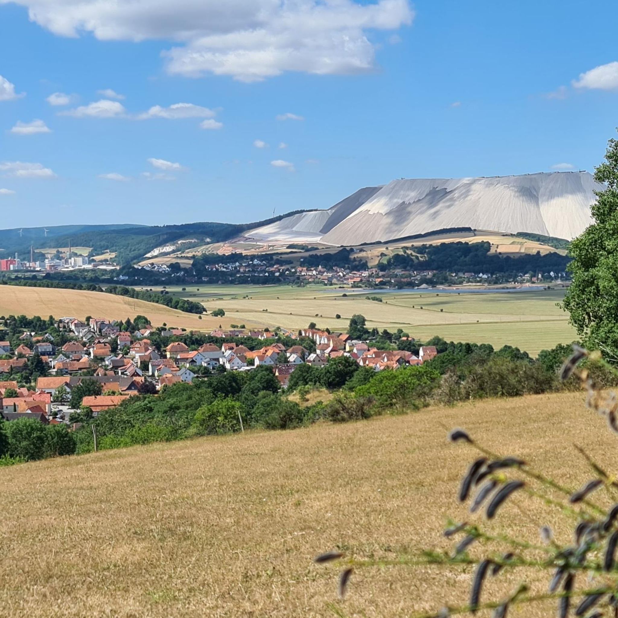
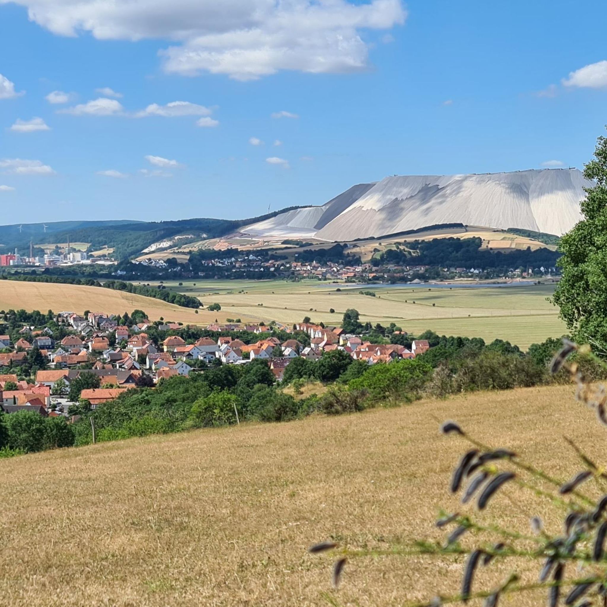
- The most popular hiking route is View of MonteKali Heringen – Bodesruh Memorial loop from Dippach, a…
Last updated: November 5, 2026
4.9
(10)
56
hikers
Easy hike. Easily walkable paths.
4.9
(15)
64
hikers
28.1km
07:42
440m
440m
Hard hike. Very good fitness required. Easily walkable paths.

4.9
(8)
26
hikers
12.8km
03:34
250m
250m
Moderate hike. Good fitness required. Easily walkable paths.
4.7
(7)
29
hikers
Moderate hike. Good fitness required. Easily walkable paths.
3.6
(11)
24
hikers
Easy hike. Easily walkable paths.
Get access to more routes and recommendations from other explorers.
Already have an account?
Our route recommendations are based on thousands of hikes, rides, and runs completed by other people on komoot.
Start today with a free account
Your next adventure awaits.
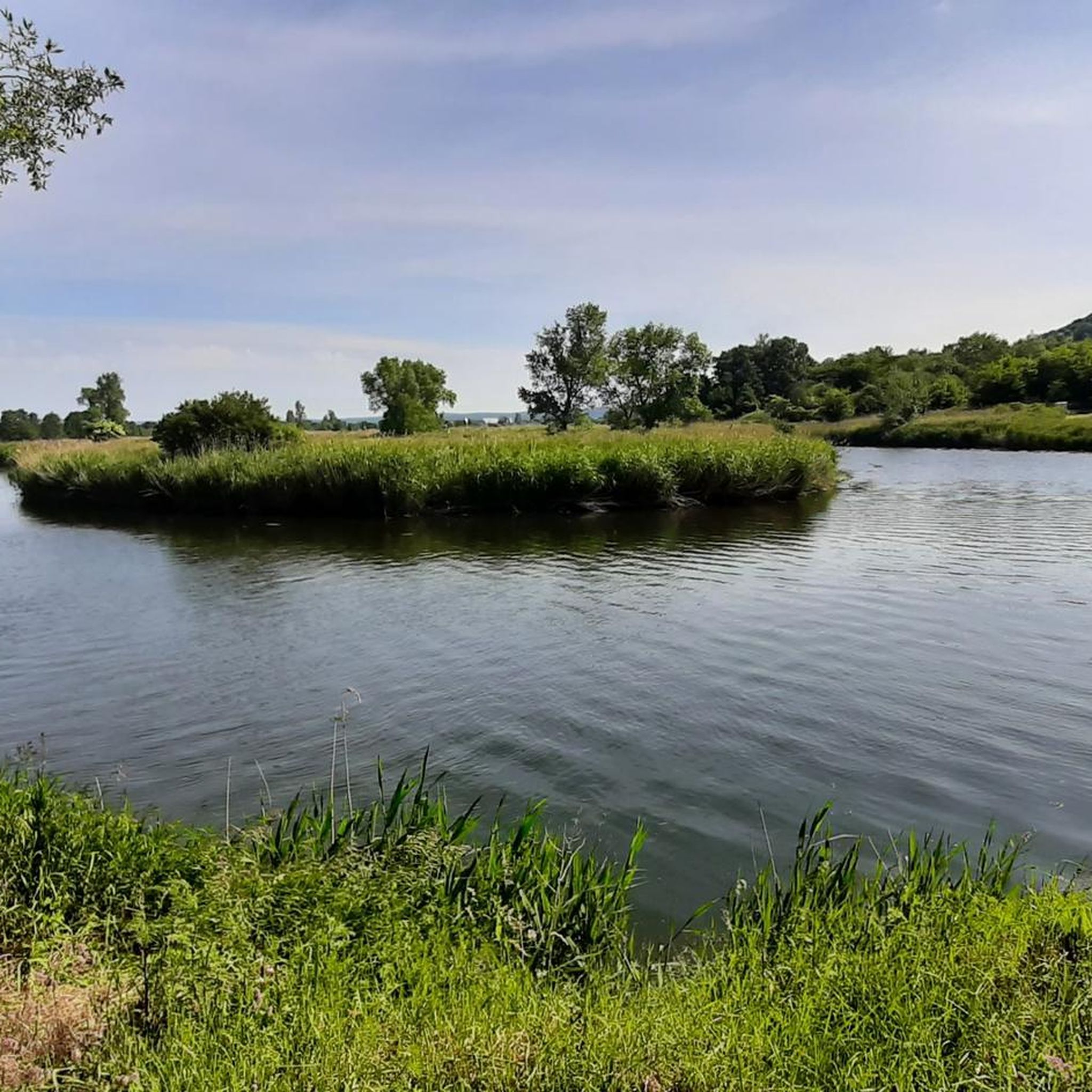
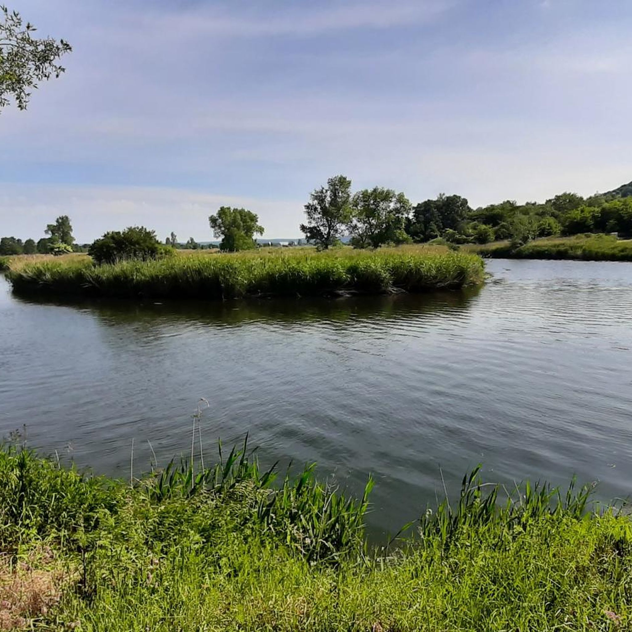

Tips from the Community

Here is the meeting point to climb the spoil tip. There are plenty of parking spaces available.
0
0

Of the three city gates of Berka a.d. Werra, only the lower gate remains.
0
0
The Gasthaus Zur Post in Berka an der Werra is located directly to the right of the old town hall, built in 1667. It is a pretty half-timbered house with a clock tower.
0
0
The richly decorated half-timbered house near the town hall, known as the Stork Bakery, was an administrative building and originally served for administration and trade. From 1354 to 1742, it housed the Hersfeld bailiff, and from 1648, the Hessian bailiff, who jointly administered the Berka district with the Saxon bailiff of Hausbreitenbach. Later, it housed a pharmacy.
0
0

Berka had three city gates but no city wall. One of these is the well-preserved Lower Gate.
1
0

The houses are no longer all in such a nice condition
0
0
An important place in German history
0
0
In memory of reunification
1
0
Frequently Asked Questions
How many hiking trails are available around Dippach?
Dippach offers a wide variety of hiking opportunities, with over 600 trails available. This includes a diverse range of routes, from leisurely strolls to more demanding treks through the region's varied landscape.
What kind of terrain can I expect on hikes in Dippach?
The terrain around Dippach is characterized by rolling hills, dense forests like the Dippecherbësch, and expansive farmlands. You'll also find scenic paths along the Attert River. This diversity provides a range of experiences, from gentle walks through meadows to more challenging routes in wooded areas.
Are there easy hiking options suitable for beginners or casual walkers in Dippach?
Yes, Dippach has plenty of easy hiking options. There are over 300 easy routes available, perfect for beginners or those looking for a relaxed walk. An example is the Rimbachs-Ruh – Path Along the Former Border loop from Dippach, an easy 6.1 km path that follows a historical route through varied natural scenery.
Are there any challenging hikes for experienced trekkers in Dippach?
For experienced trekkers, Dippach offers several challenging routes. There are 21 difficult trails available, providing significant distances and elevation changes. The View of MonteKali Heringen – Bodesruh Memorial loop from Dippach is a difficult 28.1 km trail that takes nearly 8 hours to complete and offers expansive views.
Are there circular hiking routes in Dippach?
Yes, circular routes are a popular option in Dippach. The 'Auto-pédestre Trail Dippach' is a well-known circular walk, starting and ending near the church in Dippach. It spans approximately 7.91 km and leads through the village, fields, meadows, and into the Dippecherbësch forest. You can find more information about this route on Visit Luxembourg.
What natural features or landmarks can I see while hiking in Dippach?
While hiking in Dippach, you can explore the dense Dippecherbësch forest and enjoy the scenic Attert River. The region's rolling hills offer various viewpoints. Nearby, you can also discover natural monuments such as the Dankmarshäuser Rhäden Nature Reserve or the Pond with Lovers' Island and memorial stone.
How can I reach the hiking trails in Dippach using public transport?
Dippach is well-connected by public transport, particularly through CFL hiking routes. These 'station to station' routes connect Dippach-Reckange with nearby towns like Bascharage-Sanem and Leudelange, making it convenient to access trails without a car. For example, a moderate 10.1 km hike connects Bascharage via Sanem to Dippach-Reckange.
Are the hiking trails around Dippach suitable for families with children?
Many trails in Dippach are suitable for families with children, especially the easier routes that traverse fields and meadows. The varied terrain ensures there are options for different energy levels, allowing families to enjoy nature together. Consider shorter, less strenuous paths for younger children.
Can I bring my dog on the hiking trails in Dippach?
Generally, dogs are welcome on hiking trails in Dippach. It's always recommended to keep your dog on a leash, especially in forested areas or near farmlands, to protect local wildlife and livestock. Please ensure you clean up after your pet to maintain the natural beauty of the trails.
What do other hikers enjoy the most about hiking in Dippach?
The hiking experience in Dippach is highly rated by the komoot community, with an average score of 4.6 stars from over 2,300 reviews. Hikers often praise the diverse terrain, including rolling hills, dense forests, and riverine scenery, as well as the well-maintained paths that cater to various ability levels.
What is the best time of year to go hiking in Dippach?
Dippach offers enjoyable hiking experiences throughout much of the year. Spring brings blooming wildflowers and lush greenery, while autumn showcases vibrant fall foliage. Summer is ideal for longer days, though some trails might be more exposed. Winter hikes are possible, but conditions can vary, so check local weather forecasts.
Are there any viewpoints or scenic spots along the trails in Dippach?
Yes, the rolling hills and diverse landscapes around Dippach provide several scenic spots and viewpoints. While specific named viewpoints are not detailed, the varied terrain, including the Dippecherbësch forest and paths along the Attert River, naturally offers picturesque vistas. The Hohe Rod – Viewpoint at Steinberg loop from Dippach is an easy 5.3 km trail that specifically highlights a viewpoint.
Most popular routes around Dippach
Most popular attractions around Dippach

Get inspired with the komoot mobile app


Explore more
Browse the best Hikes in other regions.
