The best walks and hikes around Upper Tamar Lake
4.8
(183)
2,048
hikers
63
hikes
Hiking around Upper Tamar Lake offers routes through a landscape defined by its man-made reservoir, which straddles the border of Devon and Cornwall. The area features well-maintained lakeside paths, diverse natural habitats, and gentle inclines. The terrain primarily consists of circular routes around the lake, with some sections suitable for various accessibility needs. Surrounding areas include fringing reed beds, grasslands, and woodlands, supporting a rich biodiversity.
Best hiking trails around Upper Tamar Lake
- The most popular hiking route is Upper…
Last updated: October 27, 2026
4.9
(15)
229
hikers
5.97km
01:32
30m
30m
Easy hike. Easily walkable paths.
4.9
(14)
220
hikers
5.18km
01:19
20m
20m
Easy hike. Easily walkable paths.

2
hikers
Easy hike. Easily walkable paths.
11
hikers
14.9km
03:56
150m
150m
Moderate hike. Good fitness required. Easily walkable paths.
5.0
(1)
9
hikers
12.3km
03:25
230m
230m
Moderate hike. Good fitness required. Easily walkable paths.
Get access to more routes and recommendations from other explorers.
Already have an account?
Our route recommendations are based on thousands of hikes, rides, and runs completed by other people on komoot.
Start today with a free account
Your next adventure awaits.

Tips from the Community

Southwest Coast Path, Hartlandquey to Morganporth. Many ascents and descents. The weather was also challenging.
0
0

The southern side of the beach looks a little risky due to the landslide but the beach is sandy with little submerged rocks
2
0
Small beach away from the crowds a free car park and just below Morwenstow (GCHQ)
2
0

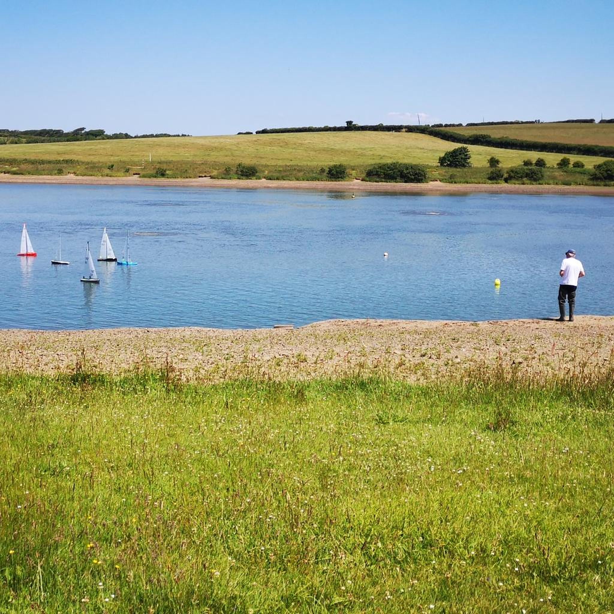
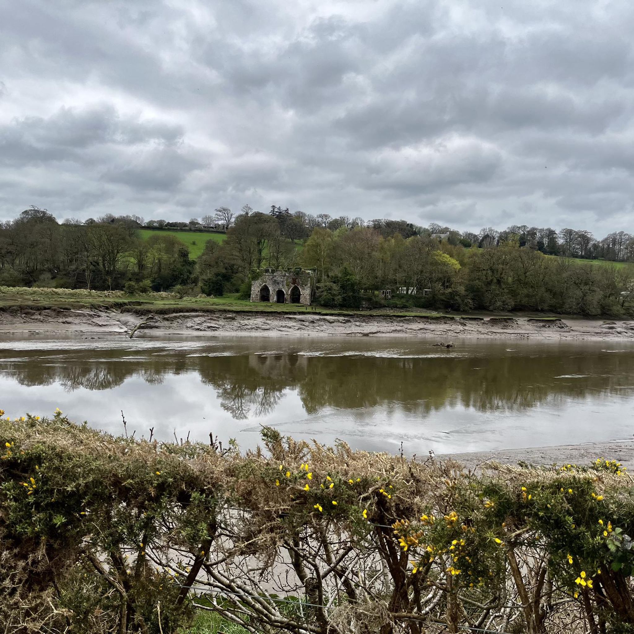
Tamar lakes are a scenic place to visit with a gravel track that circulates around it, it does however have a couple off places that can get boggy after heavy rain!
0
0
Tamar lakes are a scenic place to visit with a gravel track that circulates around it, it does however have a couple off places that can get boggy after heavy rain!
1
0

Duckpool Beach is a wild and rugged, yet romantic cove with a small west-facing beach. When other beaches are teeming with people, you can often find some serenity and solitude on this isolated little beach.
6
0
Frequently Asked Questions
How many hiking trails are available around Upper Tamar Lake?
There are over 60 hiking routes available around Upper Tamar Lake, catering to various skill levels. You'll find a good mix of easy, moderate, and a few more challenging options to explore the area.
What is the terrain like for hiking around Upper Tamar Lake?
The terrain primarily features well-maintained lakeside paths, with gentle inclines. While generally peaceful, some sections may be gravelly or slightly bumpy. The area includes diverse natural habitats such as fringing reed beds, grasslands, and woodlands.
Are the hiking trails around Upper Tamar Lake suitable for families with children?
Yes, many trails are suitable for families. The main circular path around Upper Tamar Lake is well-maintained, and some sections are even suitable for pushchairs. There are also visitor and interpretation centers, and a children's play area, making it a family-friendly destination. For an easy family walk, consider the Model Sailboat Lake Loop – Upper Tamar Lake loop from Lower Tamar CP.
Can I bring my dog on the trails around Upper Tamar Lake?
Upper Tamar Lake is generally dog-friendly, offering open spaces for walks. However, it's always recommended to keep dogs under control, especially given the rich biodiversity and presence of wildlife, including many bird species. Please check local signage for any specific restrictions.
Are there many circular hiking routes available?
Yes, circular routes are a defining feature of hiking around Upper Tamar Lake. The most prominent is the well-maintained path that loops around the lake itself, offering continuous scenic views. Routes like Upper Tamar Lake – Upper Tamar Lake loop from River Tamar are popular circular options.
Are there any accessible trails for wheelchairs or pushchairs?
Yes, some sections of the waymarked trails around Upper Tamar Lake are suitable for wheelchairs and pushchairs, making it an accessible option for a wider range of visitors. While the paths are generally well-maintained, be aware of some potentially gravelly or slightly bumpy sections.
Where can I park when visiting Upper Tamar Lake for a hike?
Parking facilities are available at Upper Tamar Lake. The region research mentions a 'Lower Tamar CP' (Car Park), indicating designated parking areas for visitors. These facilities are typically well-signposted upon arrival.
What facilities are available for hikers at Upper Tamar Lake?
Upper Tamar Lake offers a range of facilities for visitors. You'll find visitor and interpretation centers, a cafe for refreshments, and public restrooms. Bird hides are also available for wildlife observation. Camping facilities are an option for those wishing to extend their stay.
What kind of wildlife can I expect to see while hiking?
Upper Tamar Lake is a haven for wildlife, particularly birds, with over 200 species recorded. You might spot teal, pochard, kingfishers, and reed buntings. Bird hides offer opportunities to see ospreys, sandpipers, and cormorants. Beyond birds, the varied habitats support otters, dragonflies, and butterflies. Binoculars are recommended for wildlife spotting.
What else is there to do or see near Upper Tamar Lake besides hiking?
Beyond hiking, Upper Tamar Lake is popular for watersports like sailing, windsurfing, kayaking, and paddleboarding, with equipment available for hire. It's also renowned for coarse fishing. The nearby Lower Tamar Lake is a designated Nature Reserve, and part of the former Bude Canal towpath offers another 5km walking route. For more information on activities, you can visit Visit Bude.
When is the best time of year to hike around Upper Tamar Lake?
Upper Tamar Lake offers enjoyable hiking year-round. The rich biodiversity means different species can be observed throughout the seasons. Spring and autumn provide pleasant temperatures and vibrant natural displays, while summer is ideal for combining hiking with watersports. Winter walks can be peaceful, offering a different perspective on the landscape.
How long do the walks around Upper Tamar Lake typically take?
Walks around Upper Tamar Lake vary in length and duration. The main circular path around the lake is approximately 2.8 to 3 miles (4.5 to 5 km) and can be completed in about 1 to 1.5 hours at a moderate pace. Longer routes, such as Upper Tamar Lake – Upper Tamar Lake loop from Kilkhampton, can extend to over 9 miles (14 km) and take several hours.
What do other hikers enjoy most about the trails at Upper Tamar Lake?
The trails at Upper Tamar Lake are highly rated by the komoot community, with an average score of 4.8 stars. Reviewers often praise the continuous lakeside views, the well-maintained paths, and the peaceful atmosphere. The diverse natural habitats and opportunities for wildlife spotting are also frequently highlighted as enjoyable aspects of the hiking experience.
Most popular routes around Upper Tamar Lake

Get inspired with the komoot mobile app


Explore more
Browse the best Hikes in other regions.
