The best road cycling routes around Kaneohe Base
4.6
(5)
483
riders
24
rides
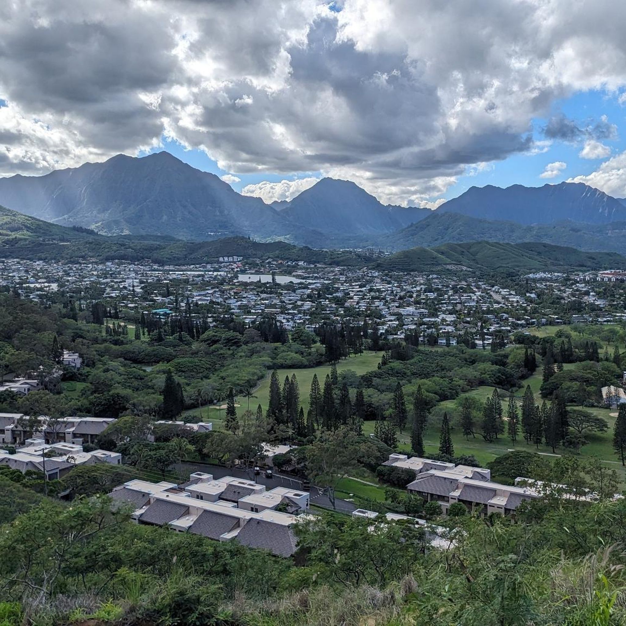
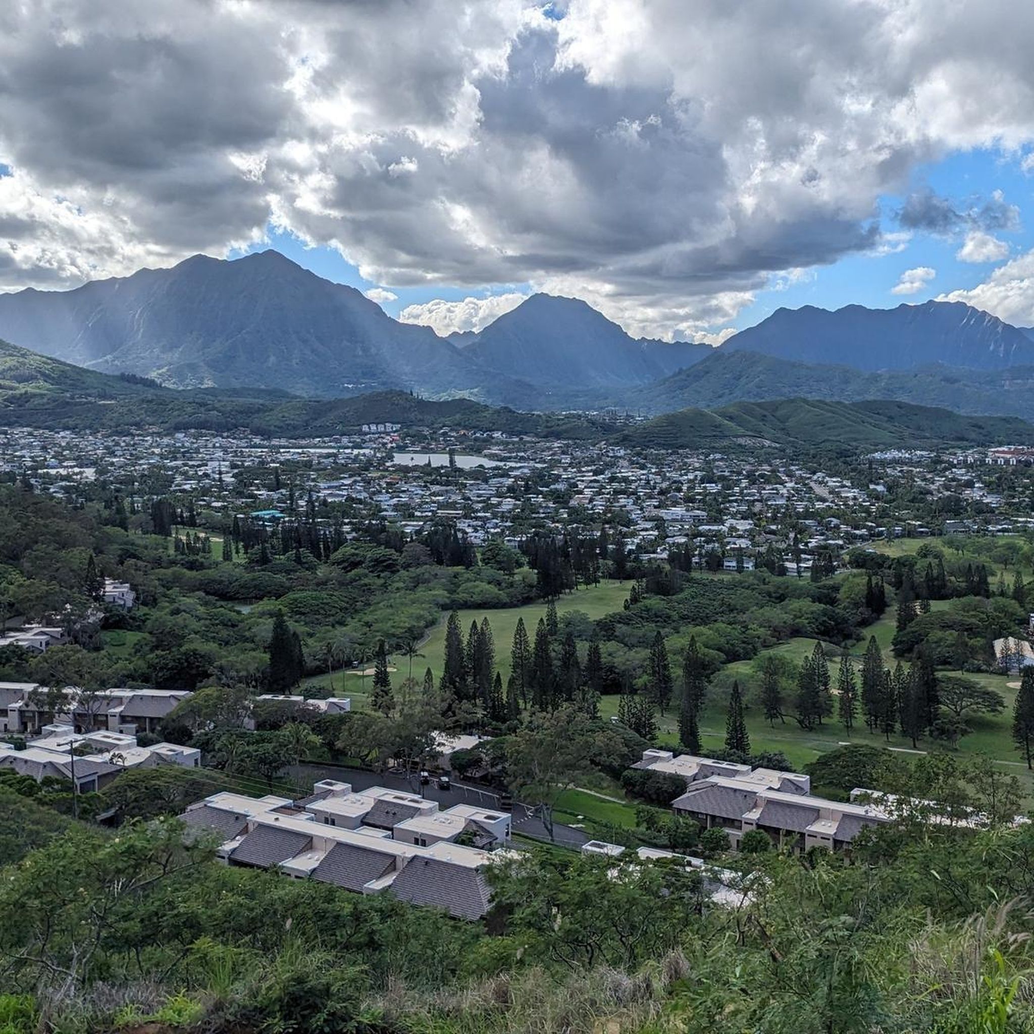
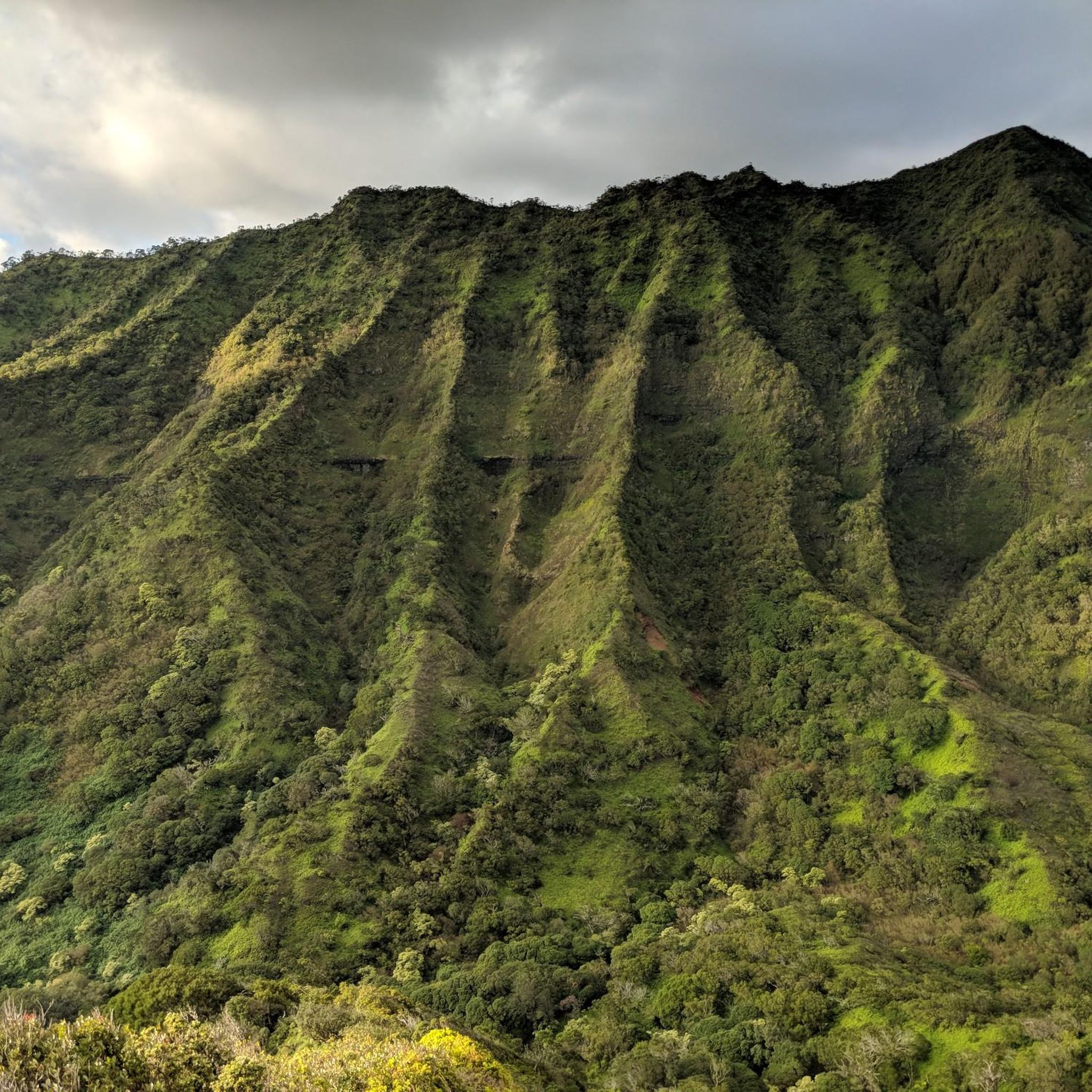
Road cycling routes around Kaneohe Base are set against a backdrop of the Ko'olau Mountains and Kaneohe Bay. The region features lush green landscapes, often with waterfalls after rainfall, and diverse terrain suitable for road cycling. Paved roads wind through botanical gardens and along the coast, offering varied elevation profiles. The area provides a mix of routes, from those with minimal elevation to more challenging options with significant climbs.
Best road cycling routes around Kaneohe Base
- The most popular road…
Last updated: July 23, 2026
5.0
(1)
11
riders
31.6km
01:27
310m
310m
Embark on the Hoʻomaluhia Botanical Gardens via Pu‘uhalo loop, a moderate road cycling route spanning 19.6 miles (31.6 km) with an elevation gain of 1012 feet (309 metres). You can…
3.5
(2)
151
riders
86.1km
03:58
680m
680m
Moderate road ride. Good fitness required. Some segments of this route may be unpaved and difficult to ride.

Sign up for free
44
riders
54.8km
02:37
460m
460m
Moderate road ride. Good fitness required. Mostly well-paved surfaces and easy to ride.
5.0
(1)
35
riders
31.8km
01:24
220m
220m
Moderate road ride. Great for any fitness level. Some segments of this route may be unpaved and difficult to ride.
25
riders
98.4km
04:12
690m
690m
Moderate road ride. Good fitness required. Mostly well-paved surfaces and easy to ride.
Get access to more routes and recommendations from other explorers.
Sign up for free
Already have an account?
Our route recommendations are based on thousands of hikes, rides, and runs completed by other people on komoot.
Start today with a free account
Your next adventure awaits.
Login or Signup
Popular around Kaneohe Base
Tips from the Community

You can go cliff jumping here, as seen on the movie "Forgetting Sarah Marshall", and bring binoculars to watch the sea bird sanctuary. The park is free and open daily during daylight hours, but there are no lifeguards.
0
0
The point takes its name from the fishing shrine, a natural stone formation, on the ridge above. Alāla means 'awakening' since for decades, beach houses in Lanikai were mainly used as a retreat/return to nature spot from Honolulu. However, in the 1950s, the area began to develop into a more suburban residential area.
0
0
This spot on the coast is the closest public beach access to see the Big Mokolua and Little Mokolua Islands. During high tide, the water comes all the way up to peoples backyards, but there is still enough room to enjoy the view.
0
0
Ka‘elepulu Pond is 95 acres of water, wetlands, and small, low islands. There is a strict catch-and-release policy in place for the lake as to help preserve the area as best as possible.
0
0
The point takes its name from the fishing shrine, a natural stone formation, on the ridge above. Alāla means 'awakening' as for decades, beach houses in Lanikai were mainly used as a retreat from Honolulu. However, in the 1950s, the area began to develop into a more suburban residential area.
0
0
This small park is a lessser known beach that many tourists don't know is here (hope I didn't spoil it :)). This secluded beach has views of blue water and the three islands just off shore.
0
0
This lookout provides a stunning view of Makapu'u Point and Makapu'u Beach surrounded by rocky edges. You may have to walk with your bike from the parking lot to the lookout spot, but it's very short!
1
0
This smooth road is a great place to escape cars and even get some intervals in. The road is opened to cars at 9am, but cyclists and hikers can hit the road well before. Camera and mobile photography is now strictly PROHIBITED on the road bacause tourists would stand in the middle of the road to take pictures....
0
0
Frequently Asked Questions
How many road cycling routes are available around Kaneohe Base?
There are over 20 road cycling routes around Kaneohe Base, offering a diverse range of experiences. These routes are highly rated by the komoot community, with an average score of 4.6 stars.
Are there road cycling routes suitable for beginners or those looking for an easy ride?
Yes, the region offers routes with minimal elevation and mostly paved surfaces, suitable for any fitness level. For example, the 3.8-mile Alāla Point via Kailua Beach loop is an easy touring option known for its scenic coastal views. There are 4 easy routes identified in the area.
What are some challenging road cycling routes near Kaneohe Base?
For more experienced riders, routes like the Lanai Lookout – Makapu'u Lookout loop from Kailua, a moderate 53.9-mile path, offer continuous coastal scenery and significant elevation changes. The region also features extensive options like the 'Northern Loop' (97.2 km) and 'Southern Loop' (90.8 km) which include substantial climbs. There is 1 difficult route and 19 moderate routes available.
What scenic landmarks and viewpoints can I expect to see along the road cycling routes?
Road cycling routes around Kaneohe Base offer stunning views of the Ko'olau Mountains and Kaneohe Bay. You can also spot the distinctive Mokoli'i Island (Chinaman's Hat) and visit attractions like the Nu'uanu Pali Lookout. The Hoʻomaluhia Botanical Gardens via Pu‘uhalo loop provides intimate views of the Ko'olau Mountains from within a lush preserve.
Are there any family-friendly road cycling options around Kaneohe Base?
Yes, the paved roads within the Ho'omaluhia Botanical Garden are suitable for cycling and offer a serene, traffic-controlled environment, making them a great option for families. Routes with minimal elevation gain and paved surfaces are generally suitable for families.
What is the best time of year for road biking around Kaneohe Base?
The windward side of Oahu, where Kaneohe Base is located, generally experiences pleasant weather year-round. However, the Ko'olau Mountains frequently have waterfalls after rainfall, which can enhance the scenic beauty. It's always a good idea to check local weather patterns before heading out, especially for rain, which can make roads slick.
Are there any specific regulations for cyclists within Marine Corps Base Hawaii?
Yes, cyclists within Marine Corps Base Hawaii must wear properly fastened safety helmets that meet Consumer Product Safety Commission (CPSC) standards. Bicycles are permitted to cross the runway via Mokapu Road, but other runway and taxiway areas are restricted.
Can I find loop routes for road cycling in the area?
Yes, many of the road cycling routes around Kaneohe Base are designed as loops. For instance, the Kailua Beach Park – Makapu'u Lookout loop from Kailua offers a coastal loop experience, and the Hoʻomaluhia Botanical Gardens via Pu‘uhalo loop is another popular circular option.
Are there places to eat or get coffee along the road cycling routes?
While specific cafes directly on every route are not listed, areas like Kailua Beach Park are known for nearby amenities. The View of Ka‘elepulu Pond – Over Easy Café loop from Kalaheo High School route even includes a café in its name, suggesting options are available in surrounding towns and popular spots.
Where can I park my car when going road cycling near Kaneohe Base?
Parking is generally available at popular starting points for routes. For example, you can find parking at Kailua Beach Park, which serves as a starting point for several scenic coastal rides. Parking access is also available for cyclists at Ho'omaluhia Botanical Garden and near the Byodo-In Temple.
What are some cultural attractions I can incorporate into a road cycling route?
The Byodo-In Temple, a replica of an ancient Japanese temple, is a peaceful and beautiful attraction that can be incorporated into cycling routes along the Kamehameha Highway, offering a unique cultural stop during your ride.
Most popular routes around Kaneohe Base
Most popular attractions around Kaneohe Base

Get inspired with the komoot mobile app


Explore more
Browse the best Road cycling routes in other regions.
