The best MTB trails around Hurworth Burn Reservoir
4.2
(8)
97
riders
19
rides
Mountain biking around Hurworth Burn Reservoir offers accessible trails primarily along disused railway lines, providing a mostly traffic-free experience. The terrain is generally flat and manageable, suitable for various skill levels, with both paved and unpaved sections. The area features the picturesque Hurworth Burn Reservoir itself, surrounded by farmland, pasture, and woodlands. These multi-user paths connect to larger networks like the National Cycle Network Route 1, allowing for extended rides.
Best mountain bike trails around Hurworth Burn Reservoir
- The most…
Last updated: September 29, 2026
3.0
(1)
12
riders
Easy mountain bike ride. Great for any fitness level. Suitable for all skill levels.
4
riders
Moderate mountain bike ride. Good fitness required. Advanced riding skills necessary.

3.0
(1)
2
riders
Easy mountain bike ride. Great for any fitness level. Suitable for all skill levels.
5
riders
Easy mountain bike ride. Great for any fitness level. Suitable for all skill levels.
2
riders
Moderate mountain bike ride. Good fitness required. Suitable for all skill levels.
Get access to more routes and recommendations from other explorers.
Already have an account?
Our route recommendations are based on thousands of hikes, rides, and runs completed by other people on komoot.
Start today with a free account
Your next adventure awaits.

Tips from the Community

Ditto my wife suggested we cut that corner on our way back from Crimdon and it was the highlight of the ride. Thought I can understand why, the new tarmacced surfaces along the route (Wynyard-Crimdon Dene-Wynyard) has removed much of the gravel element from the route.
0
0

Cracking little piece of track to push the heart and lungs, just be aware of pedestrians and dog walkers
1
0

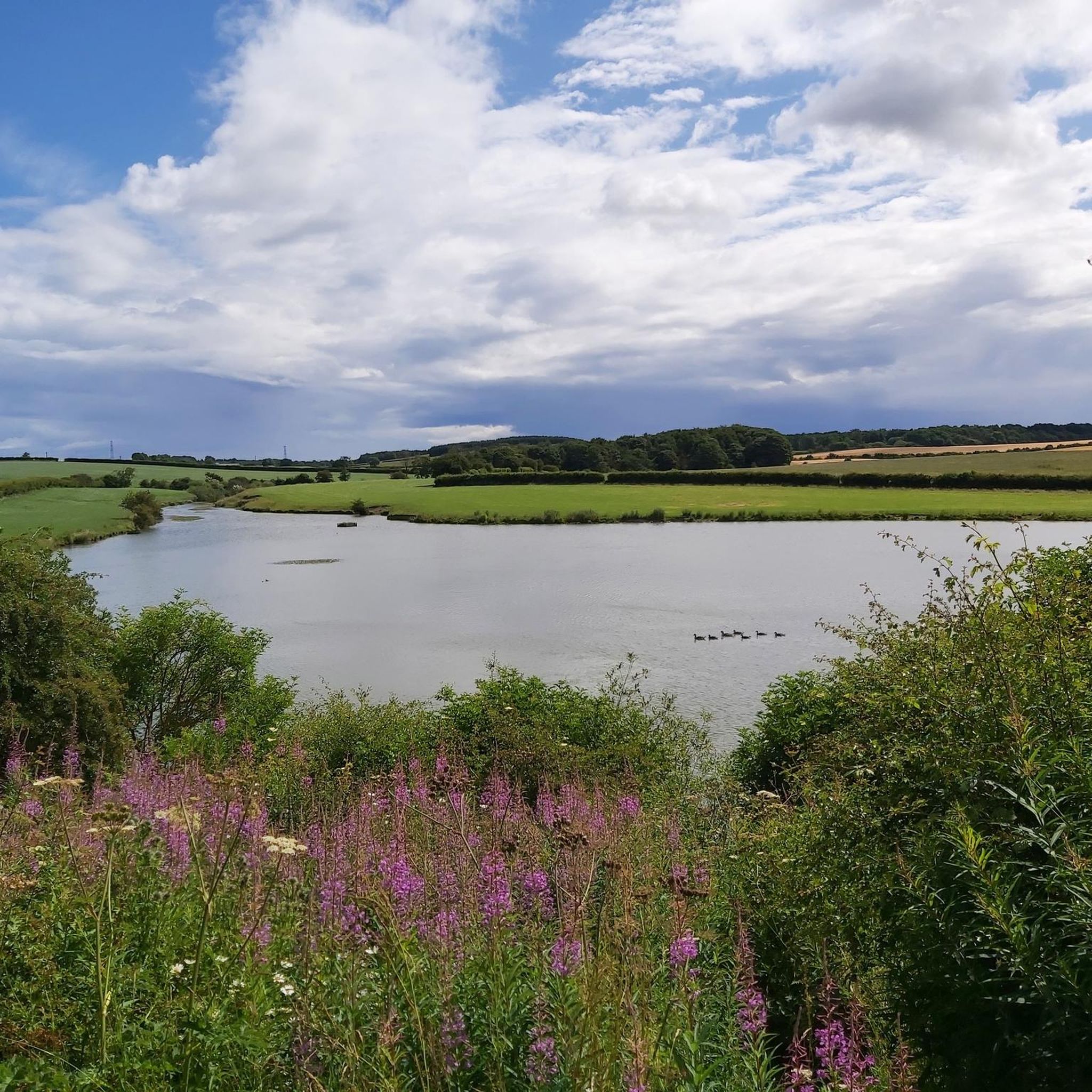
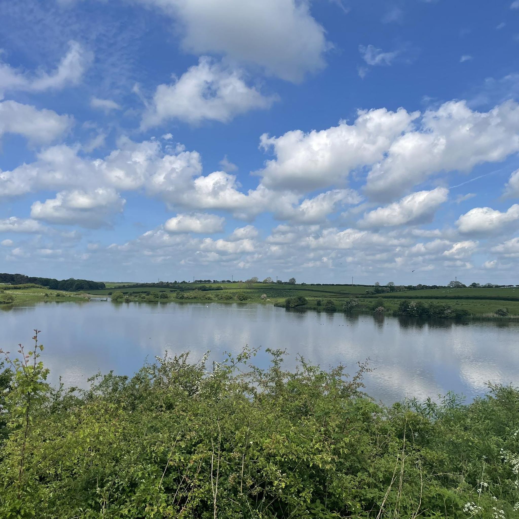
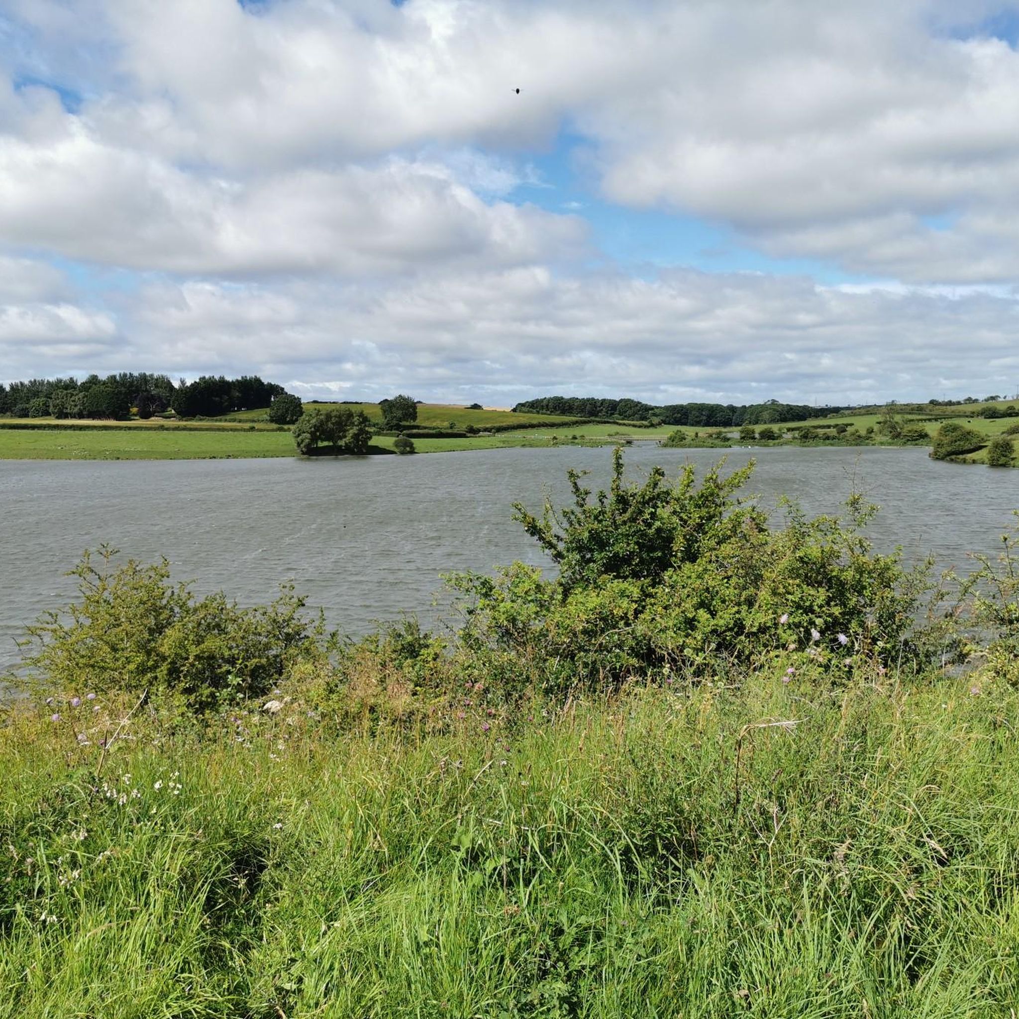
Hurworth Burn Reservoir is a 21 acre lake built in 1867. It's surrounded by woodland and attracts a rich variety of wildlife.
1
0

just of the old railway path behind Garmondsway village theirs some old abandoned lime kilins
0
0

Love this route from Stockton right up the castle Eden walkway to Wingate return. Reasonably flat...have to be mindful of dog walkers .
0
0
Nice little bit of single-track that "cuts the corner"
0
0
Amazing, picturesque railway trail (the Kelloe Way). Keep an eye out for relics of mining history.
0
0
Frequently Asked Questions
What is the general difficulty level of mountain biking trails in the Hurworth Burn Reservoir area?
The trails around Hurworth Burn Reservoir cater to various skill levels, ranging from easy to moderate. Many routes follow disused railway lines, offering a mostly traffic-free experience with generally flat and manageable terrain. While most are accessible, some moderate excursions may require good fitness for unpaved and potentially challenging segments.
Are there mountain bike trails suitable for beginners or families around Hurworth Burn Reservoir?
Yes, the area offers several easy routes perfect for beginners and families. For instance, the Hurworth Burn Reservoir – National Cycle Network Route 1 loop from Wynyard is an easy 14.1-mile trail that follows part of the National Cycle Network. Many trails utilize disused railway lines, providing relatively flat and manageable terrain.
What kind of terrain can I expect on the mountain bike trails near Hurworth Burn Reservoir?
You can expect a mix of terrain, predominantly along disused railway lines which provide mostly flat and manageable paths. These multi-user trails include both paved and unpaved sections. The routes traverse picturesque scenery, including farmland, pasture, and woodlands, with the reservoir itself as a central feature.
Are there any circular mountain bike routes around Hurworth Burn Reservoir?
Yes, there are several circular routes available. A popular option is the Hurworth Burn Reservoir – National Cycle Network Route 1 loop from Trimdon Limestone Quarry SSSI, which is a 16.0-mile trail leading through open landscapes and connecting to the National Cycle Network.
What are some notable natural features or points of interest along the mountain bike trails?
The Hurworth Burn Reservoir itself is a central and picturesque feature, offering serene views. The trails often pass through farmland, pasture, and woodlands. You might also encounter reed beds along the northern shore of the reservoir. The broader area connects to the Castle Eden Walkway and the Hart to Haswell Walkway, which are disused railway lines offering scenic rides.
Can I bring my dog on the mountain bike trails around Hurworth Burn Reservoir?
Many of the multi-user trails, particularly those following disused railway lines, are generally dog-friendly. However, it's always recommended to keep dogs under control, especially when passing through farmland or near wildlife habitats, and to check specific trail regulations for any restrictions.
What is the best time of year to go mountain biking in Hurworth Burn Reservoir?
The trails are enjoyable throughout much of the year. Spring and autumn offer pleasant temperatures and beautiful scenery. While winter conditions can make some unpaved sections muddy, the generally flat nature of the disused railway lines means many routes remain accessible. Always check local weather conditions before heading out.
Are there any longer mountain bike routes for more experienced riders?
For those seeking a longer ride, the Hurworth Burn Reservoir – Crimdon House Bridge loop from St Bede's Catholic School and Byron Sixth Form College is a moderate 23.1-mile (37.2 km) path that offers an extended journey through the surrounding countryside.
What do other mountain bikers enjoy most about the Hurworth Burn Reservoir area?
The area is highly rated by the komoot community, with an average score of 4.4 stars. Reviewers often praise the accessible, mostly traffic-free trails along disused railway lines, the picturesque views of the reservoir, and the diverse natural features that make for an enjoyable ride for various skill levels.
Are there any cafes or pubs near the mountain bike trails for a break?
While the immediate vicinity of the reservoir is quite rural, the trails connect to larger networks and pass through or near villages where you can find local pubs and cafes. It's advisable to plan your route and check for establishments along your chosen path or in nearby towns like Thorpe Thewles or Wynyard.
What kind of wildlife can I expect to see while mountain biking around Hurworth Burn Reservoir?
Hurworth Burn Reservoir is a haven for wildlife, especially birds. You might spot a variety of wildfowl, passerines, and passage waders. Species like Great Egret, Egyptian Goose, Osprey, Reed Warbler, and Whooper Swan are observed throughout the year, with winter being particularly good for geese and swans. There's even a birdwatching hide available.
Are there any other attractions or places to explore nearby after a ride?
Yes, the broader area offers additional attractions. The Castle Eden Walkway, which passes by the reservoir, leads north to the Castle Eden Dene National Nature Reserve, known for its streams and woodland trails. Heading south on the Castle Eden Walkway can take you to Wynyard Woodland Park, featuring woodland trails, a wildflower meadow, a planetarium, and an observatory.
Most popular routes around Hurworth Burn Reservoir

Get inspired with the komoot mobile app


Explore more
Browse the best MTB trails in other regions.
