The best road cycling routes around Dienstweiler
4.4
(159)
1,982
riders
114
rides
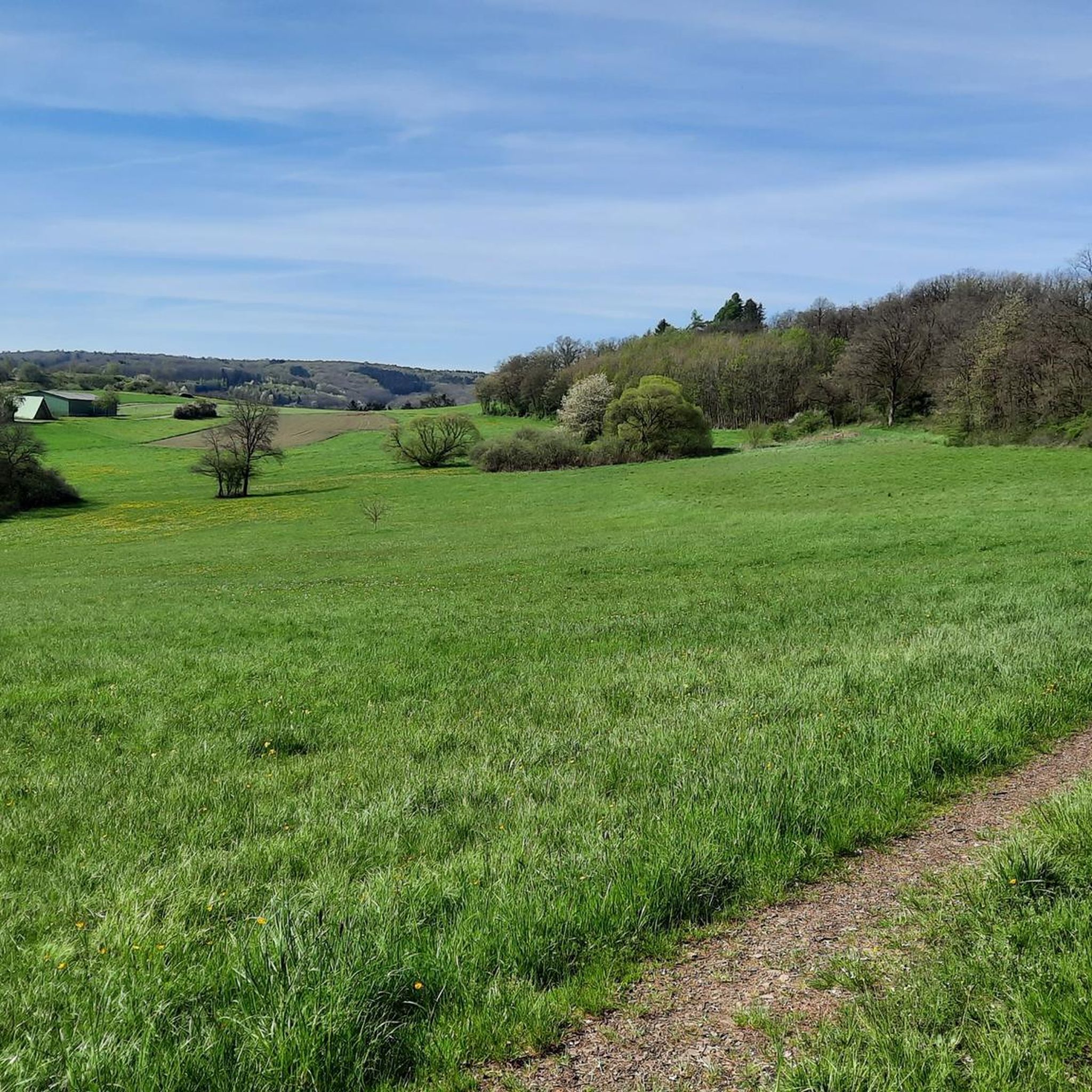
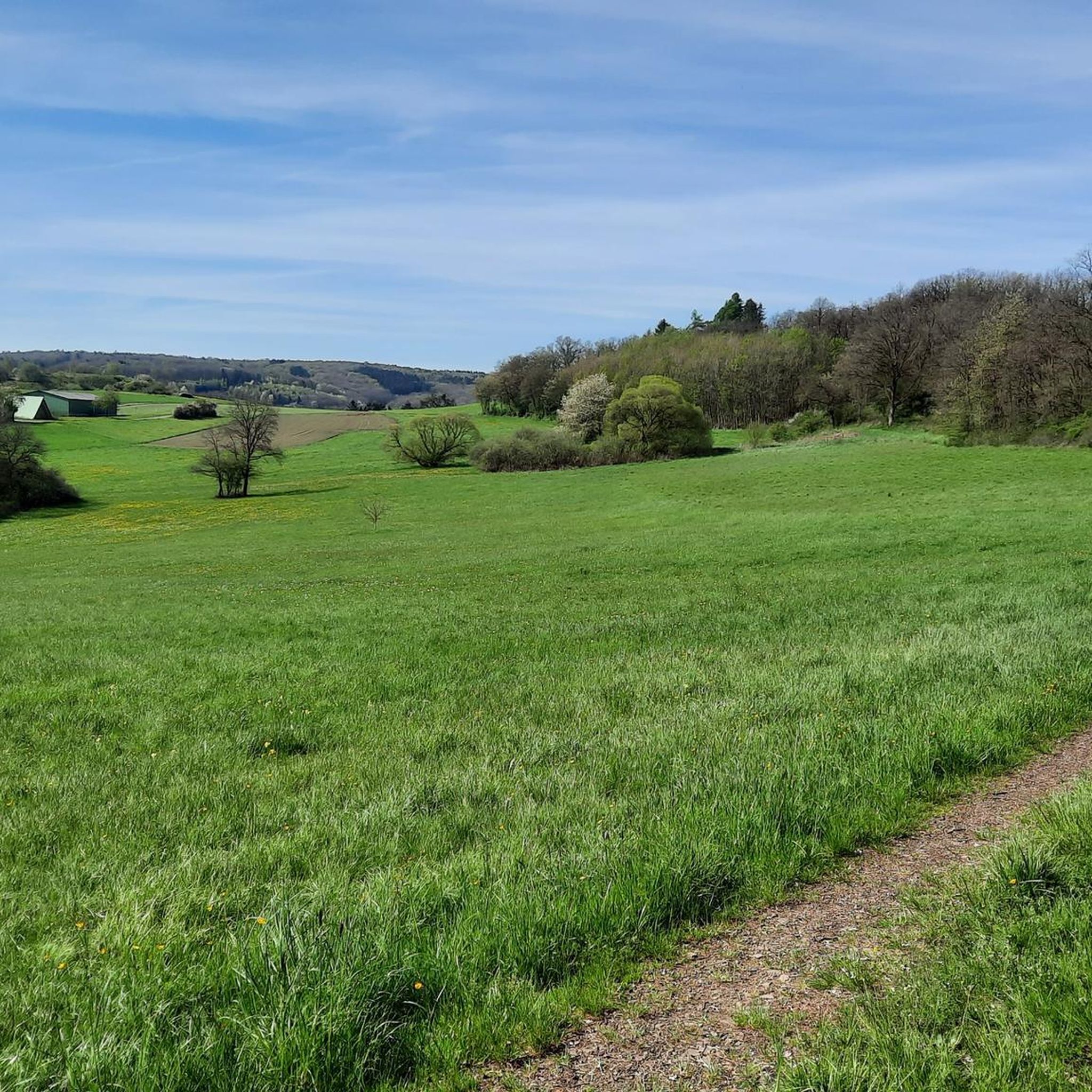
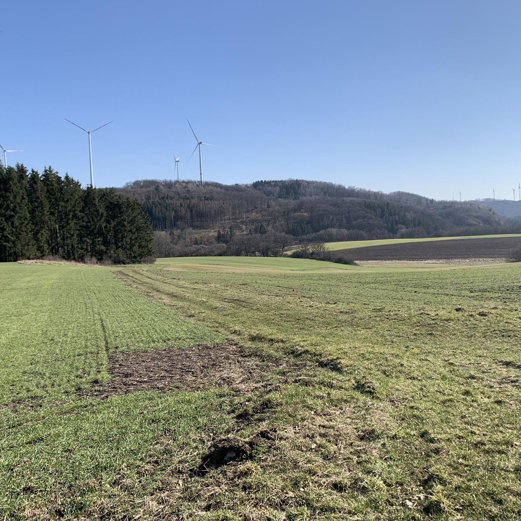
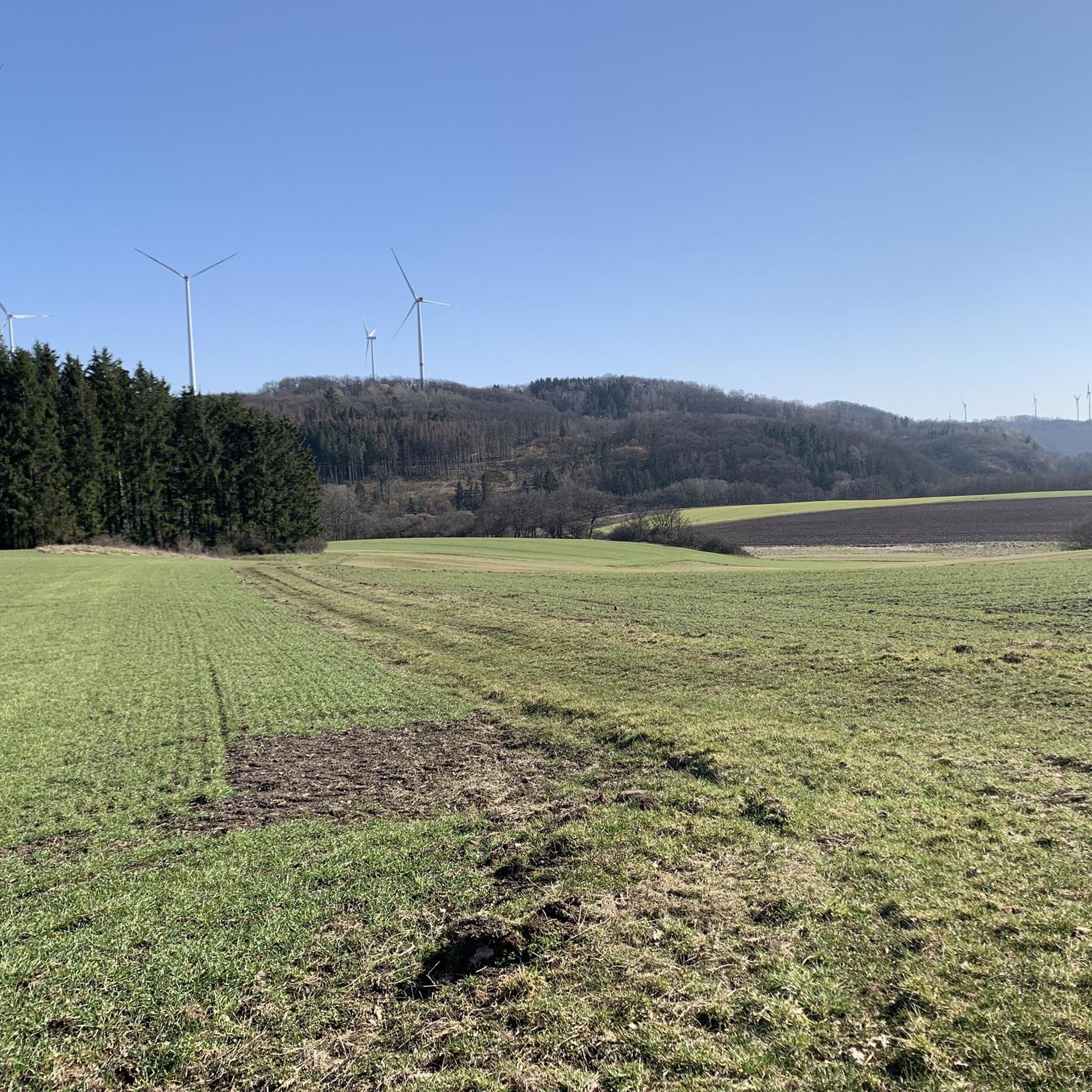
Road cycling around Dienstweiler features a landscape characterized by rolling hills, forested areas, and river valleys, with routes often passing by lakes and through natural parks. The region offers a mix of terrain, from gentle gradients suitable for leisurely rides to more challenging ascents. Road cyclists can expect varied scenery, including open countryside and sections alongside water bodies.
Best road cycling routes around Dienstweiler
- The most popular road cycling route is Iron Bridge in Türkismühle – View of Bostalsee from…
Last updated: November 2, 2026
4.5
(8)
77
riders
Moderate road ride. Good fitness required. Some segments of this route may be unpaved and difficult to ride.
4.6
(7)
36
riders
Moderate road ride. Good fitness required. Mostly well-paved surfaces and easy to ride.

4.4
(11)
38
riders
Easy road ride. Mostly well-paved surfaces and easy to ride.
3.0
(1)
17
riders
Moderate road ride. Good fitness required. Some segments of this route may be unpaved and difficult to ride.
5.0
(2)
21
riders
30.6km
01:21
280m
280m
Easy road ride. Mostly well-paved surfaces and easy to ride.
Get access to more routes and recommendations from other explorers.
Already have an account?
Our route recommendations are based on thousands of hikes, rides, and runs completed by other people on komoot.
Start today with a free account
Your next adventure awaits.
Tips from the Community

Nice to ride over, pure nature :-D
0
0
Beautiful trails invite you to bike
0
0
Old locomotive on a section of track, is now nothing special
0
0

Great route, usually little traffic
0
1

That's not the deer watering hole; that's much further up in the forest. That's the bridge over the Traunbach stream.
0
0

below the Rosselhalde
0
0
Frequently Asked Questions
What kind of terrain can I expect on road cycling routes around Dienstweiler?
Road cycling around Dienstweiler features a landscape characterized by rolling hills, forested areas, and river valleys. Routes often pass by lakes and through natural parks, offering a mix of terrain from gentle gradients to more challenging ascents. You'll find varied scenery, including open countryside and sections alongside water bodies.
Are there road cycling routes suitable for beginners or families in Dienstweiler?
Yes, Dienstweiler offers several easy road cycling routes. For instance, the Martin Train Station – Old Birkenfeld Railway Station loop from Hoppstädten (Nahe) is an easy 18.8-mile (30.3 km) trail that follows former railway lines, making it relatively flat and suitable for a relaxed ride. Another easy option is the Baumholder Pond – Breitsesterhof loop from Hoppstädten (Nahe), which is 30.5 km long.
What are some challenging road cycling routes in the Dienstweiler area?
For those seeking a challenge, Dienstweiler offers 33 difficult road cycling routes. These routes typically feature significant elevation gain and longer distances. While specific challenging routes are not detailed here, you can explore the full range of options on komoot to find one that matches your fitness level.
Are there road cycling routes around Dienstweiler that are approximately 50 km long?
Yes, many road cycling routes around Dienstweiler are around the 50 km mark. A popular choice is the Iron Bridge in Türkismühle – View of Bostalsee from the dam loop from Nohen, which is 33.9 miles (54.6 km) and offers views of Bostalsee. Another option is the Iron Bridge in Türkismühle – Türkismühle Information Point loop from Hoppstädten (Nahe), a 29.9-mile (48.1 km) path exploring the Türkismühle area.
What kind of attractions can I see along road cycling routes near Dienstweiler?
Many routes pass by natural and man-made attractions. You might cycle past the View of Bostalsee from the dam or along the Bostalsee North Shore. Other routes could lead you near the Baumholder Town Pond or the Fischwaid Fishing Pond. Some unique sights include the Upside-Down House.
Are there any circular road cycling routes in Dienstweiler?
Yes, the majority of road cycling routes around Dienstweiler are designed as loops, allowing you to start and finish at the same point. For example, the Saar-Hunsrück Nature Park – Bridge Over the Traunbach loop from Neubrücke (Nahe) is a moderate 58.7 km circular route through varied landscapes.
What do other road cyclists say about the routes in Dienstweiler?
The road cycling routes in Dienstweiler are highly rated by the komoot community, with an average score of 4.5 stars from over 120 reviews. Many road cyclists praise the varied terrain, from rolling hills to sections alongside lakes, and the well-maintained paths that offer a mix of open countryside and wooded areas.
When is the best time of year for road cycling in Dienstweiler?
The best time for road cycling in Dienstweiler is typically from spring through autumn (April to October). During these months, the weather is generally mild, and the natural landscapes are at their most vibrant. While winter cycling is possible, be prepared for colder temperatures and potentially icy conditions, especially in shaded or higher elevation areas.
Are there options for parking or trailheads for road cyclists in Dienstweiler?
While specific parking locations are not detailed in the route descriptions, many routes around Dienstweiler start from towns or villages like Hoppstädten (Nahe) or Nohen, where public parking is generally available. Look for designated parking areas near train stations or town centers, which often serve as convenient starting points for tours.
How many road cycling routes are there in total around Dienstweiler?
There are over 110 road cycling routes available around Dienstweiler, catering to various skill levels. This includes 16 easy routes, 69 moderate routes, and 33 difficult routes, ensuring options for every type of cyclist.
Most popular routes around Dienstweiler
Most popular attractions around Dienstweiler

Get inspired with the komoot mobile app


Explore more
Browse the best Road cycling routes in other regions.
