The best walks and hikes around Argensee
4.5
(3251)
14,259
hikers
505
hikes
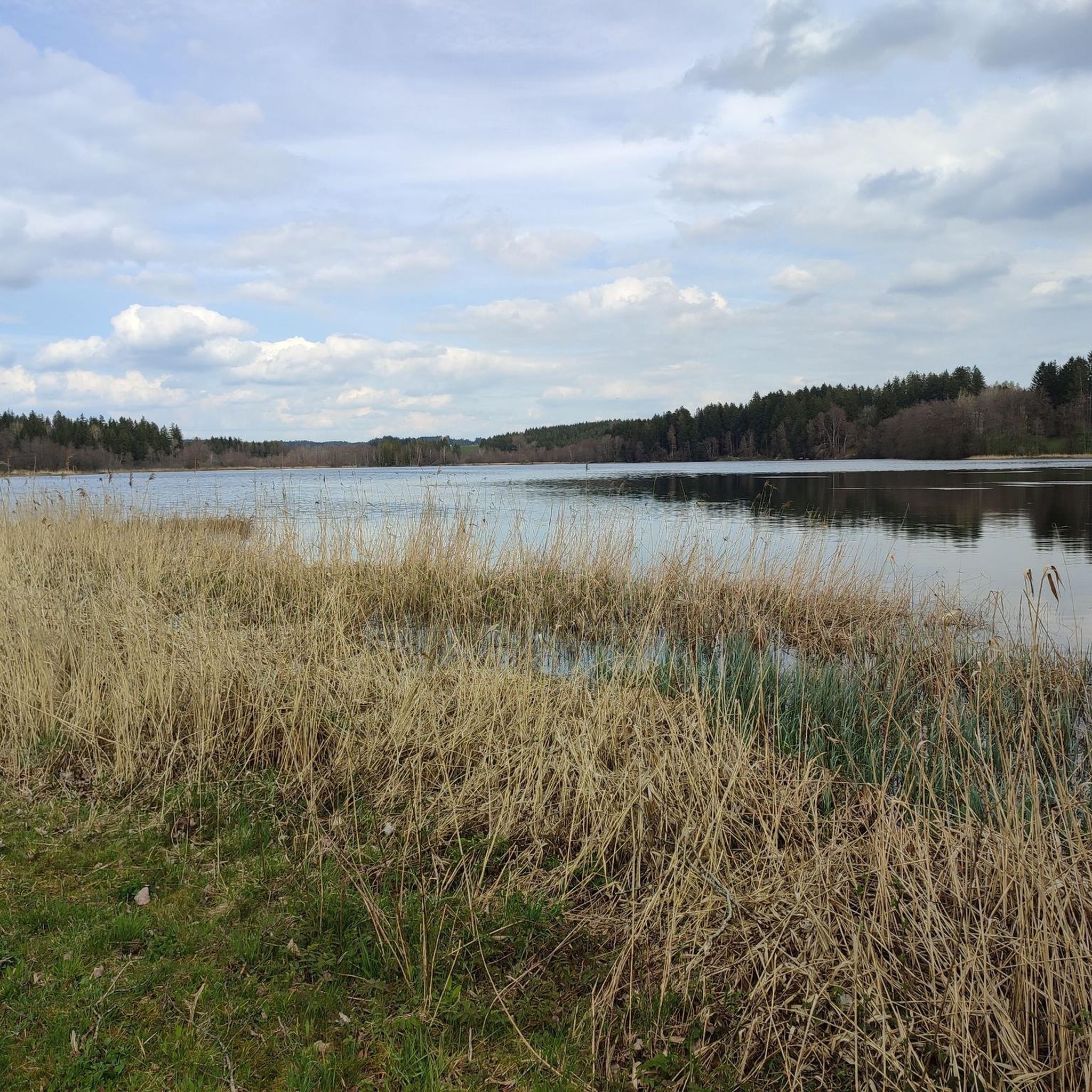
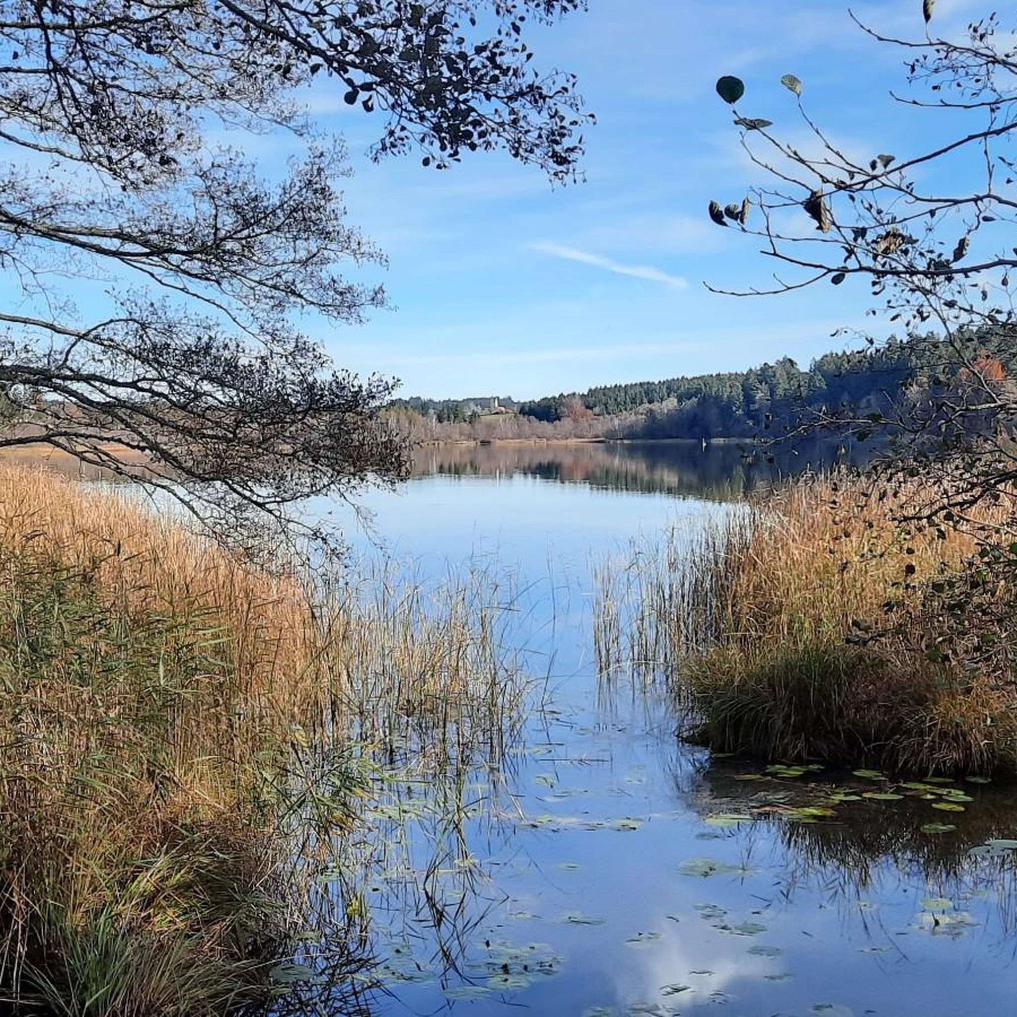
Hiking around Argensee offers a diverse landscape characterized by the lake itself, surrounding woodlands, and nearby wetlands. The region features gentle elevation changes, making it accessible for various activity levels. Trails often follow the lake shore or lead through forested areas and past smaller ponds. The terrain is generally mild, with low hills rather than significant peaks.
Best hiking trails around Argensee
- The most popular hiking route is Argensee – Argensee Swimming Area loop from Argensee, a 4.1 miles…
Last updated: July 31, 2026
4.0
(2)
14
hikers
6.63km
01:47
80m
80m
Easy hike. Great for any fitness level. Easily-accessible paths. Suitable for all skill levels.
3.8
(4)
8
hikers
6.27km
01:40
60m
60m
Easy hike. Great for any fitness level. Easily-accessible paths. Suitable for all skill levels.

Sign up for free
4.3
(9)
52
hikers
5.84km
01:34
70m
70m
Easy hike. Great for any fitness level. Easily-accessible paths. Suitable for all skill levels.
4.7
(7)
50
hikers
7.28km
01:58
80m
80m
Easy hike. Great for any fitness level. Easily-accessible paths. Suitable for all skill levels.
4.6
(5)
28
hikers
11.3km
03:01
110m
110m
Moderate hike. Good fitness required. Easily-accessible paths. Suitable for all skill levels.
Get access to more routes and recommendations from other explorers.
Sign up for free
Already have an account?
Our route recommendations are based on thousands of hikes, rides, and runs completed by other people on komoot.
Start today with a free account
Your next adventure awaits.
Login or Signup

Tips from the Community

Taken over by the moor, a mystical impression, especially at sunrise 😉
0
0
The soil structure in the moor is well explained.
0
0
Well-maintained paths with some information boards.
0
0
Wonderful path through the moor, with many water birds.
0
0
A wonderful path through the moorland, worth a visit any time of year. Unfortunately, the return journey is on roads...
0
0
A beautiful pond with a swimming area, but unfortunately not really walkable, unless you simply walk along the meadow next to the reeds. I wonder if the farmer would like that? Perhaps in the fall 😉
0
0

A wonderful, quiet swimming spot. There are steps to make it easier to get into the lake, as well as changing rooms and restrooms. Swimming costs €2, and it's lovely here. It's sheltered from the wind and not very busy.
0
0
A great spot where the bench with Lene is located. It's sheltered and shady, with a fantastic view of the Alps in good weather.
0
0
Frequently Asked Questions
How many hiking trails are there around Argensee?
The Argensee region offers a wide variety of hiking opportunities, with nearly 500 trails available. This includes a significant number of easy routes, making it accessible for many different activity levels.
Are there easy or family-friendly hikes around Argensee?
Yes, Argensee is very well-suited for easy and family-friendly hikes. Over 280 of the available routes are classified as easy, featuring gentle elevation changes and well-maintained paths. Many trails follow the lake shore or lead through woodlands, offering pleasant experiences for all ages.
What is the typical length and duration of hikes in Argensee?
Hikes around Argensee vary in length, but many popular routes are designed for day trips or shorter excursions. For example, the Argensee – Argensee Swimming Area loop from Argensee is about 6.6 km (4.1 miles) and takes under 2 hours. You'll find options ranging from short strolls to longer moderate trails up to 11 km (7 miles) like the Arrisrieder Moos – Oma Paula's Bench loop from Waltershofen.
Are there circular walks available in the Argensee area?
Yes, circular walks are a prominent feature of hiking around Argensee. Many trails are designed as loops, allowing you to start and end at the same point without retracing your steps. Examples include the popular Bench with a view of the Alps – Roterweiher loop from Argensee and the Argensee – Wuhrmühleweiher loop from Waltershofen.
What do other hikers enjoy most about the trails in Argensee?
The Argensee area is highly rated by the komoot community, with an average score of 4.5 stars from over 2,400 reviews. Hikers often praise the tranquil lake views, the diverse landscape of woodlands and wetlands, and the accessibility of the trails for various fitness levels. The well-marked paths and scenic viewpoints are frequently highlighted.
Are the hiking trails around Argensee dog-friendly?
Many trails around Argensee are suitable for walks with dogs, especially those through woodlands and along the lake shore. It's generally recommended to keep dogs on a leash, especially in nature protection areas or near wildlife. Always ensure you carry water for your dog and clean up after them.
What is the best time of year to go hiking in Argensee?
Argensee offers pleasant hiking experiences throughout much of the year. Spring brings blooming nature, while summer is ideal for combining hikes with a dip in the lake. Autumn provides beautiful foliage, and even winter can be charming for a crisp walk, though some paths might be muddy or icy. The region's gentle terrain makes it enjoyable in most seasons.
Are there any scenic viewpoints along the trails?
Yes, several trails offer picturesque viewpoints. For instance, the Bench with a view of the Alps – Roterweiher loop from Argensee is specifically known for its scenic vistas, including potential glimpses of the Alps on clear days. Many paths along the lake also provide lovely perspectives of the water and surrounding landscape.
Are there facilities like parking or public transport access for the trails?
While specific parking details vary by trailhead, many popular starting points around Argensee, especially near towns like Argensee itself or Waltershofen, offer designated parking areas. Public transport options to the general Argensee region exist, but direct access to all trailheads might require some planning. It's advisable to check local bus schedules for routes connecting to the main villages near the lake.
What kind of facilities or refreshment stops can be found near the hiking trails?
Around Argensee, you can find various facilities, especially in the nearby villages. These may include cafes, restaurants, and guesthouses where you can stop for refreshments or a meal. For example, the Wuhrmühle Pond – Argensee loop from Waltershofen passes near areas where such amenities might be available. It's always a good idea to check opening hours, especially outside peak season.
Are there any less-known or 'hidden gem' hikes around Argensee?
Beyond the most popular routes, Argensee's extensive network of nearly 500 trails means there are many opportunities to discover quieter paths. Exploring trails that venture deeper into the Arrisrieder Moos or connect smaller ponds like Wuhrmühleweiher can offer a more secluded experience away from the main lake circuit. These often provide a chance to observe local flora and fauna in a peaceful setting.
Most popular routes around Argensee

Get inspired with the komoot mobile app


Explore more
Browse the best Hikes in other regions.
