The best walks and hikes around Oberrieder Weiher
4.6
(1047)
4,559
hikers
372
hikes
Hiking around Oberrieder Weiher offers routes through a landscape characterized by a large groundwater-fed lake, surrounding woodlands, and open fields. The region features a network of paths that often follow the shores of the Weiher, providing views across the water. Elevation changes are generally minimal, making the area accessible for various activity levels. The trails primarily traverse forested areas and open fields adjacent to the lakes in the Günztal valley.
Best hiking trails around Oberrieder Weiher
- The most popular hiking…
Last updated: September 27, 2026
4.7
(3)
7
hikers
8.05km
02:05
40m
40m
Moderate hike. Good fitness required. Easily-accessible paths. Suitable for all skill levels.
5.0
(1)
4
hikers
3.80km
00:59
20m
20m
Easy hike. Great for any fitness level. Easily-accessible paths. Suitable for all skill levels.

4.0
(5)
14
hikers
18.7km
04:51
110m
110m
Moderate hike. Good fitness required. Easily-accessible paths. Suitable for all skill levels.
4.6
(5)
9
hikers
Easy hike. Great for any fitness level. Easily-accessible paths. Suitable for all skill levels.
4.7
(3)
12
hikers
12.9km
03:20
60m
60m
Moderate hike. Good fitness required. Easily-accessible paths. Suitable for all skill levels.
Get access to more routes and recommendations from other explorers.
Already have an account?
Our route recommendations are based on thousands of hikes, rides, and runs completed by other people on komoot.
Start today with a free account
Your next adventure awaits.

Tips from the Community

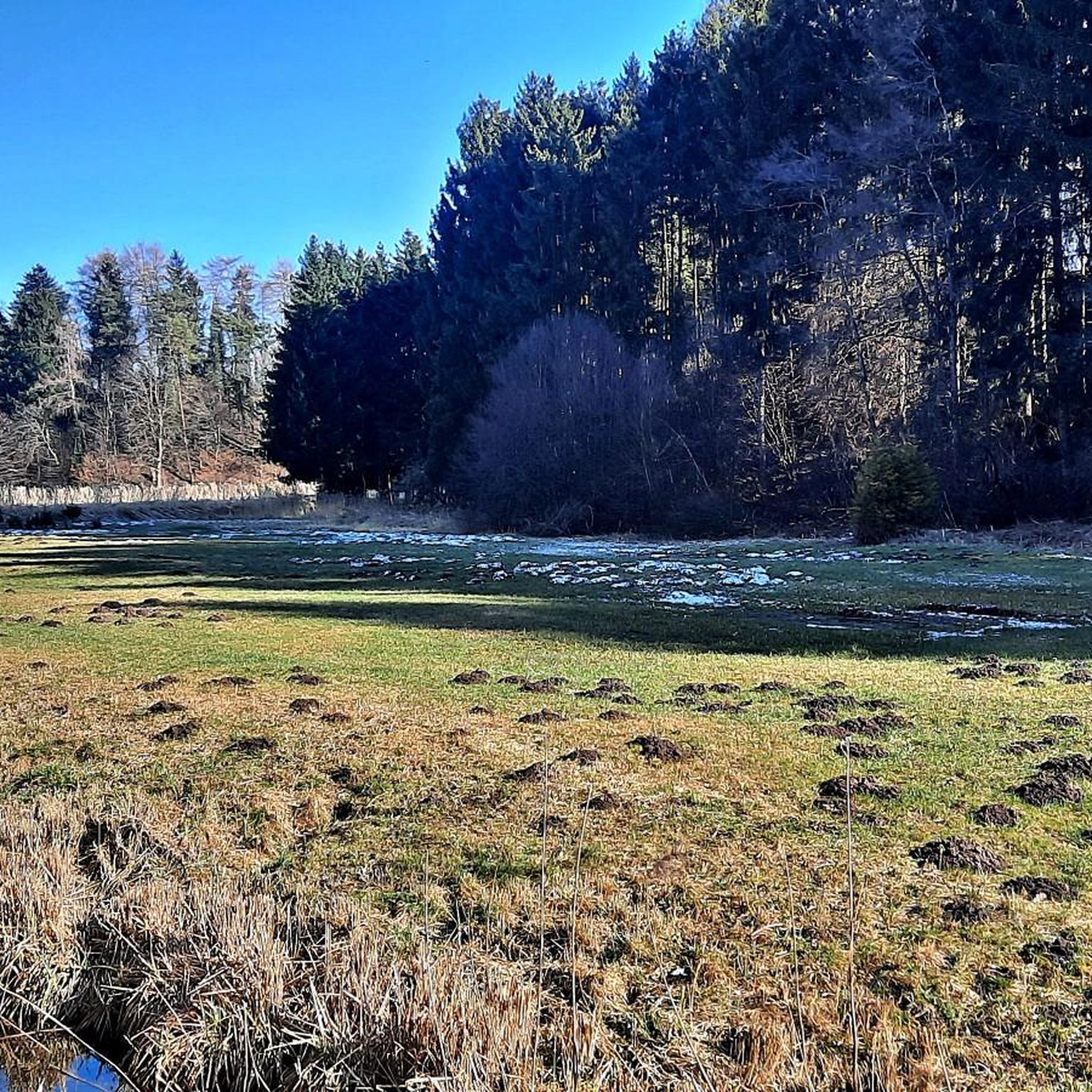
Beautiful quiet section from the Günz
0
0

great paths easily accessible with children..directly on the Günz
0
0

Anyone who likes cake, beer, and German pop music will be happy here.
0
0

Well, what can I write? It's just a bridge...😊
1
0


Frequently Asked Questions
How many hiking trails are available around Oberrieder Weiher?
The Oberrieder Weiher region offers a wide selection of hiking routes, with over 360 trails available. This includes a diverse range of options, from short, easy walks to longer, more moderate excursions.
Are there easy hiking options suitable for beginners or families?
Yes, the area is very accessible for beginners and families. Over 220 of the trails are rated as easy. A great option is the View of the Lake – View of the Lake loop from Breitenthal, which is 4.5 miles (7.2 km) and offers continuous lake views with minimal elevation change.
What are the best circular routes around Oberrieder Weiher?
Many of the trails around Oberrieder Weiher are circular, allowing you to start and end at the same point. The Oberrieder Lakes – Wagser Chapel loop from Breitenthal is a popular easy option, exploring the lakes and passing the historic Wagser Chapel. For a longer loop, consider the Wagser Chapel – View of the Lake loop from Breitenthal.
Can I bring my dog on the hiking trails in Oberrieder Weiher?
Generally, dogs are welcome on the hiking trails around Oberrieder Weiher. The paths through woodlands and along the lake shores provide a pleasant environment for walks with your canine companion. Always keep your dog on a leash, especially near wildlife or other hikers, and be mindful of local regulations.
What kind of landscape can I expect on the hikes?
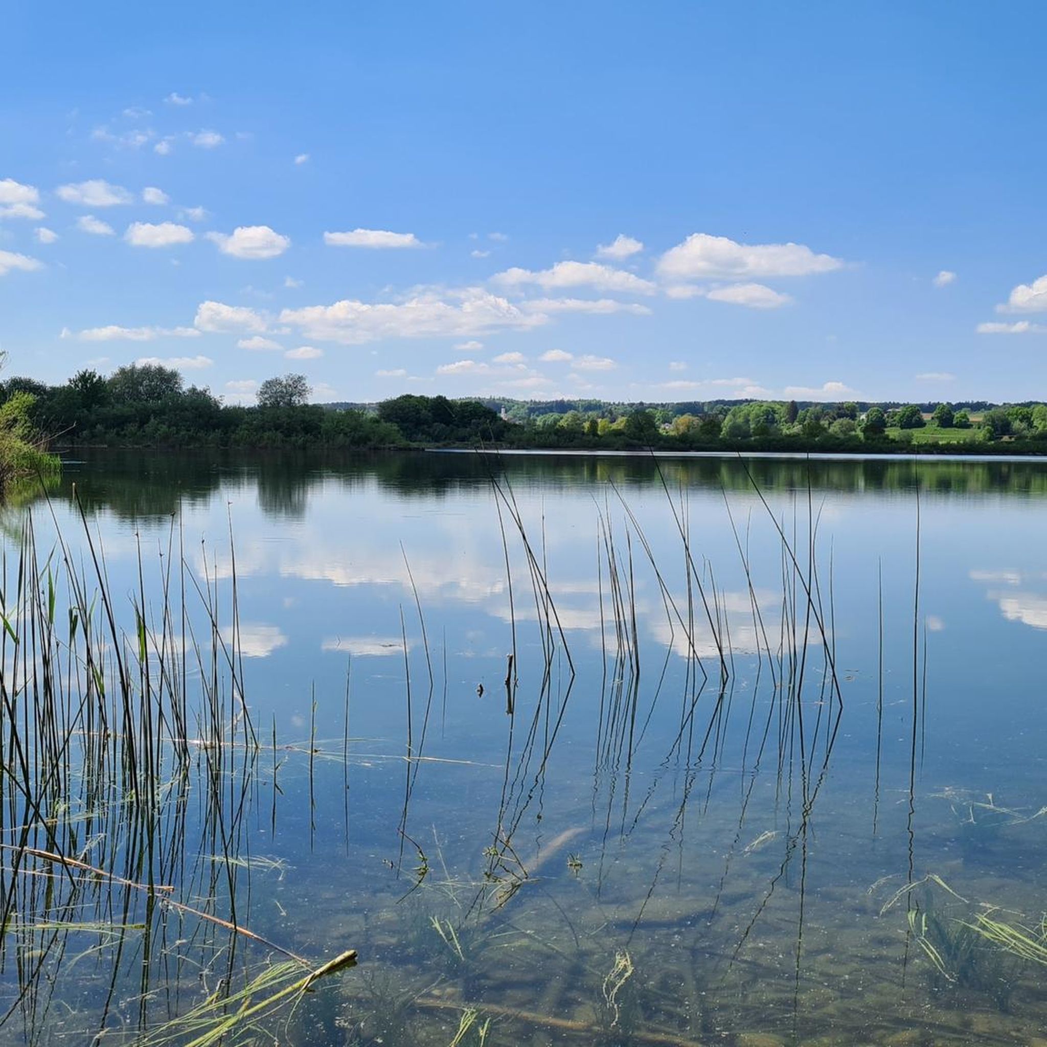
Hiking around Oberrieder Weiher is characterized by tranquil lake shores, dense woodlands, and open fields. The terrain is generally gentle with minimal elevation changes, offering scenic views across the water and through varied natural settings. You'll find a mix of paved and unpaved paths.
What is the best time of year to go hiking in Oberrieder Weiher?
The Oberrieder Weiher region is enjoyable for hiking throughout much of the year. Spring brings blooming nature, summer offers pleasant conditions for lakeside walks, and autumn showcases beautiful fall foliage. Even in winter, with appropriate gear, the trails can be serene, though some paths might be muddy or icy.
Are there opportunities for winter hiking around Oberrieder Weiher?
Yes, winter hiking is possible, offering a quiet and often picturesque experience. The generally flat terrain makes many trails accessible even with light snow. Be sure to check local conditions and wear appropriate footwear for potentially icy or muddy sections. The frozen lake views can be particularly beautiful.
Where can I find parking near the trailheads?
Parking is generally available at various points around the Oberrieder Weiher, particularly near popular access points in towns like Breitenthal. Look for designated parking areas close to the lake or at the start of well-known routes. Specific parking details are often provided on individual komoot Tour pages.
Is Oberrieder Weiher accessible by public transport?
While the region is primarily accessed by car, some nearby towns may have limited public transport connections. For specific routes, it's best to check local bus schedules to see if they serve villages close to the trailheads. Planning your route on komoot can help identify the nearest public transport stops.
Are there places to eat or drink near the hiking routes?
Yes, you can find options for refreshments in the villages surrounding Oberrieder Weiher, such as Breitenthal. These often include traditional guesthouses or cafes where you can enjoy a meal or a drink after your hike. It's advisable to check opening hours, especially outside of peak season.
Are there any longer, more challenging hikes for experienced hikers?
While many trails are easy, there are moderate options for those seeking a longer challenge. The Bridge Over the Günz – Gut Glaserhof loop from Breitenthal is a good example, covering 11.6 miles (18.7 km) and featuring varied landscapes including river sections and rural paths.
What makes the hiking experience unique in Oberrieder Weiher?
Hikers frequently praise the tranquil atmosphere and the scenic beauty of the lakes and surrounding nature. The komoot community rates the area highly, with an average score of 4.6 stars from over 900 reviews. Many appreciate the well-maintained paths and the opportunity for peaceful walks away from crowds.
Most popular routes around Oberrieder Weiher

Get inspired with the komoot mobile app


Explore more
Browse the best Hikes in other regions.
