The best walks and hikes around Sarchinger Weiher
4.5
(3489)
15,896
hikers
647
hikes
Hiking around Sarchinger Weiher offers diverse trails within the Danube plain, centered around a flooded gravel pit lake. The area features sandy beaches, tree-lined shores, and a small island known as a bird breeding ground. Many paths provide scenic views, including glimpses of the Danube river. The terrain is generally flat, making it accessible for various fitness levels.
Best hiking trails around Sarchinger Weiher
- The most popular hiking route is Sarchinger Weiher – Sarchinger Weiher loop from Sulzbach an der…
Last updated: July 24, 2026
2
hikers
Easy hike. Great for any fitness level. Easily-accessible paths. Suitable for all skill levels.
Easy hike. Great for any fitness level. Easily-accessible paths. Suitable for all skill levels.

Sign up for free
4.0
(2)
13
hikers
Easy hike. Great for any fitness level. Easily-accessible paths. Suitable for all skill levels.
4.4
(12)
25
hikers
Easy hike. Great for any fitness level. Easily-accessible paths. Suitable for all skill levels.
15
hikers
8.20km
02:05
10m
10m
Moderate hike. Good fitness required. Easily-accessible paths. Suitable for all skill levels.
Get access to more routes and recommendations from other explorers.
Sign up for free
Already have an account?
Our route recommendations are based on thousands of hikes, rides, and runs completed by other people on komoot.
Start today with a free account
Your next adventure awaits.
Login or Signup
Tips from the Community

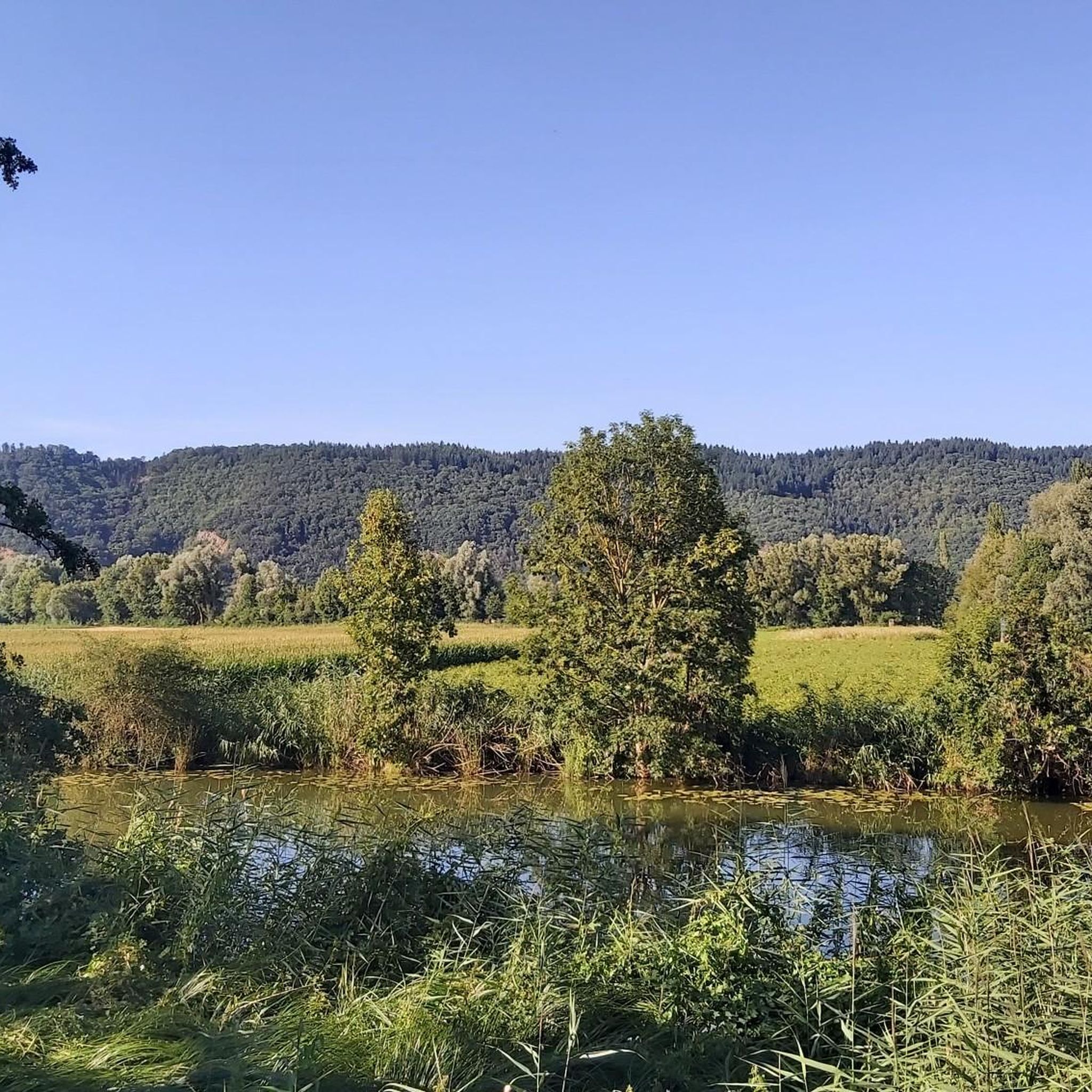
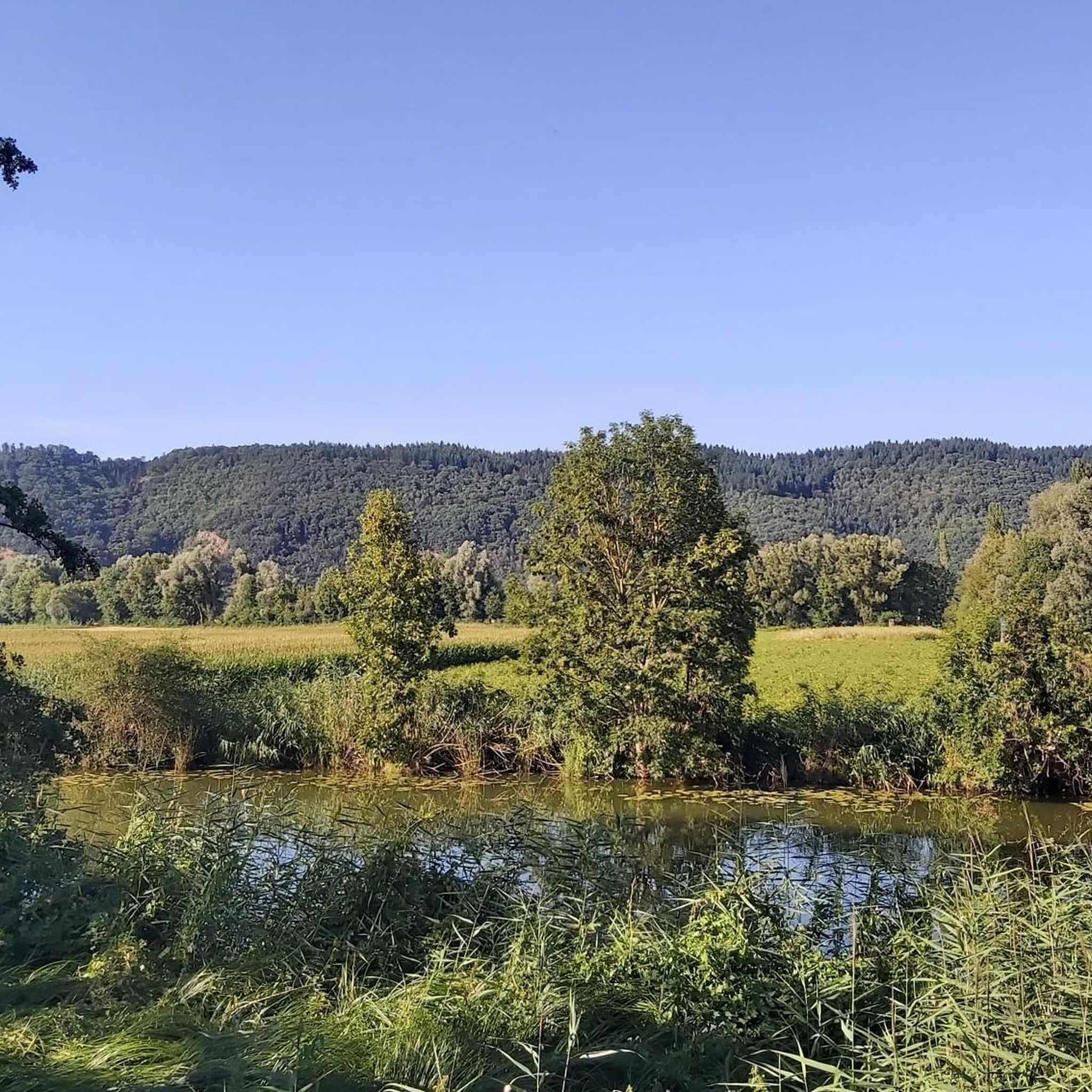
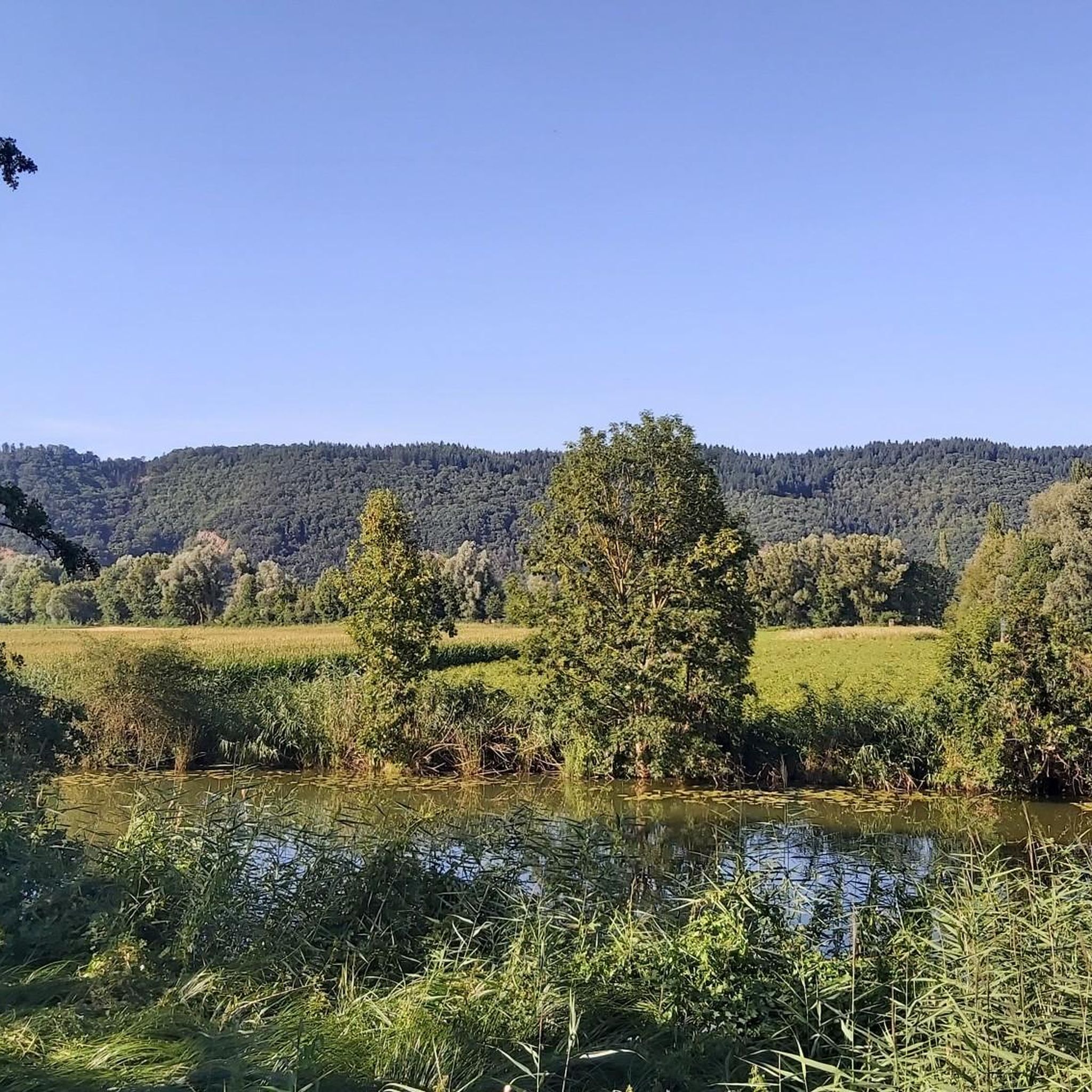
unfortunately you couldn't swim too many algae
0
0

The Walhalla in Donaustauf is one of Bavaria's most impressive monuments. Located high above the Danube and visible from afar. The neoclassical building in the style of a Greek temple was erected in the 19th century by King Ludwig I and is one of Germany's most important national monuments. The climb up the approximately 350 steps is athletic, but absolutely worthwhile. At the top, a spectacular panoramic view of the Danube and the Gäuboden awaits you. Especially at sunset, it's a highlight. Inside, the Hall of Fame impresses with over 100 marble busts of important personalities such as Goethe or Schiller. The complex is spacious, well-maintained, and ideal for photos or a short excursion. Highlight: The combination of monumental architecture and view. Conclusion: An absolute must-visit in the Regensburg region. Tip: Come early in the morning or in the evening. Fewer visitors & best light.
2
0
Imposing neoclassical building with a marble hall featuring plaques and busts of important Germans.
2
0

Regardless of which side you ascend from... a great view. But Walhalla itself is also worth it. 5 Euro entrance fee is okay 🙃🙏
2
0

Amazing colonnade in a fantastic building with a superb panoramic view 🤩
4
0

Walhalla near Donaustauf offers a sweeping view of the Danube and the surrounding landscape. From its elevated position, the river is clearly visible as it winds through the plain. The banks are lined with forests and fields, forming a diverse cultural landscape. On clear days, the view extends far into the Danube plain. The view is framed by the architecture of the neoclassical temple building, creating a striking connection between the building and the river landscape.
1
0

Catholic Parish Church of the Nativity of Mary, hall building with recessed choir and choir tower (1712). Nave from 1979.
0
0

Frequently Asked Questions
How many hiking trails are available around Sarchinger Weiher?
There are nearly 650 hiking routes around Sarchinger Weiher, offering a wide range of options for different preferences and fitness levels. Over 330 of these are classified as easy.
What kind of terrain can I expect on hikes around Sarchinger Weiher?
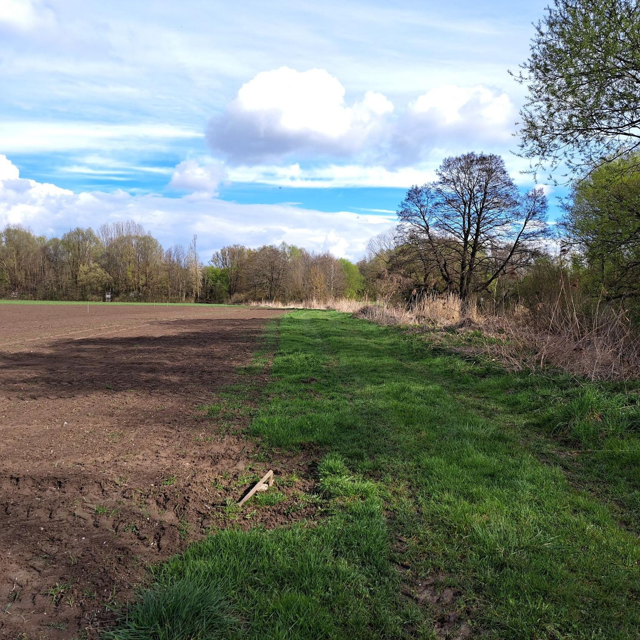
The terrain around Sarchinger Weiher is generally flat, situated within the Danube plain. Paths often circle the lake, featuring sandy beaches in some areas and tree-lined shores in others. You can also find routes with views of the Danube river.
Are there easy hiking options suitable for beginners or families with children?
Yes, Sarchinger Weiher is well-suited for beginners and families. Many routes are easy strolls, and the lake features shallow water areas particularly suitable for children. An example of an easy route is the View of Walhalla – View of the Danube loop from Walhalla, which is about 4.5 km long.
Are dogs allowed on the hiking trails around Sarchinger Weiher?
Dogs are generally welcome on the hiking trails. However, during the bathing season (typically early May to mid-September), there are restrictions on dogs in designated swimming and sunbathing areas around the lake. Always keep dogs on a leash and be mindful of other visitors.
What natural features or points of interest can I see while hiking?
While hiking, you can enjoy the picturesque Sarchinger Weiher itself, which is a flooded gravel pit. A distinctive natural feature is a small island in the southern part of the lake, known as a breeding ground for rare birds like the black-crowned night heron. Many trails also offer scenic views of the Danube river.
Are there any circular hiking routes around Sarchinger Weiher?
Yes, many of the hiking routes around Sarchinger Weiher are circular loops, making them convenient for exploration. For instance, the View of the Danube – Danube Riverside loop from Demling is an easy 6.3 km circular path.
What do other hikers enjoy most about hiking in Sarchinger Weiher?
The area is highly rated by the komoot community, with an average score of 4.6 stars from almost 3,000 reviews. Hikers often praise the accessible, flat terrain, the tranquil lake views, and the variety of paths that cater to different abilities.
Is there parking available at Sarchinger Weiher, and are there any fees?
Yes, ample parking is available at Sarchinger Weiher. However, parking is subject to fees during certain hours, especially during peak seasons or bathing season.
What is the best time of year to go hiking around Sarchinger Weiher?
Sarchinger Weiher offers pleasant hiking opportunities throughout much of the year. Spring and autumn provide comfortable temperatures and beautiful scenery. Summer is also popular, especially if you plan to combine your hike with swimming, though it can be busier. The lake is also known for captivating sunsets.
Are there facilities like restrooms or places to get refreshments near the trails?
Yes, Sarchinger Weiher provides several amenities. You'll find kiosks for refreshments, clean lavatories, and designated areas for barbecuing. These facilities enhance the outdoor experience, especially for longer visits.
Are there any moderate or more challenging hikes available?
While many routes are easy, there are also moderate options for those seeking a bit more challenge. Out of the nearly 650 routes, 285 are classified as moderate. These might involve slightly longer distances or varied terrain compared to the easiest strolls.
Most popular routes around Sarchinger Weiher

Get inspired with the komoot mobile app


Explore more
Browse the best Hikes in other regions.
