The best mountain hikes around Höglwörther Lake
4.6
(511)
5,016
hikers
47
hikes
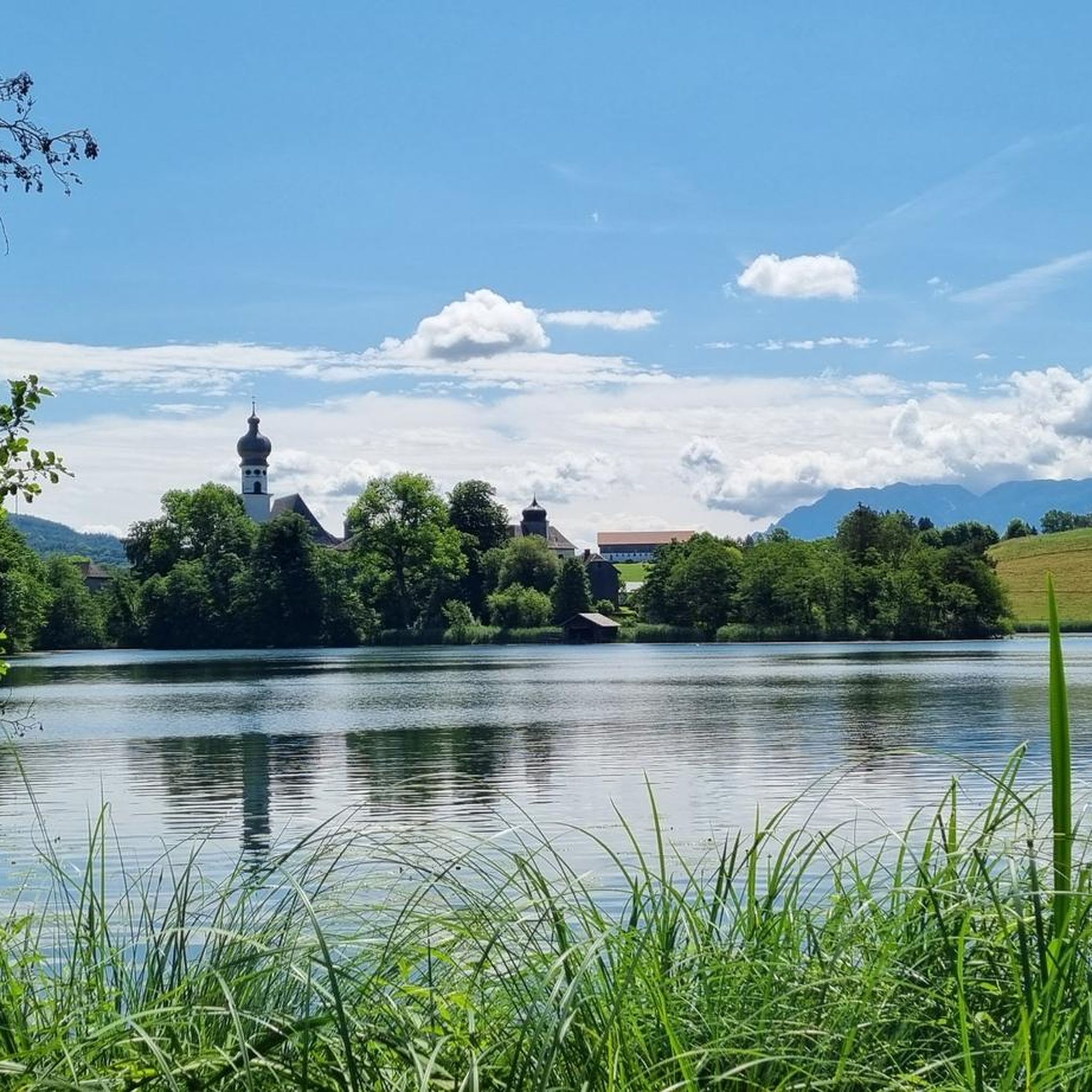
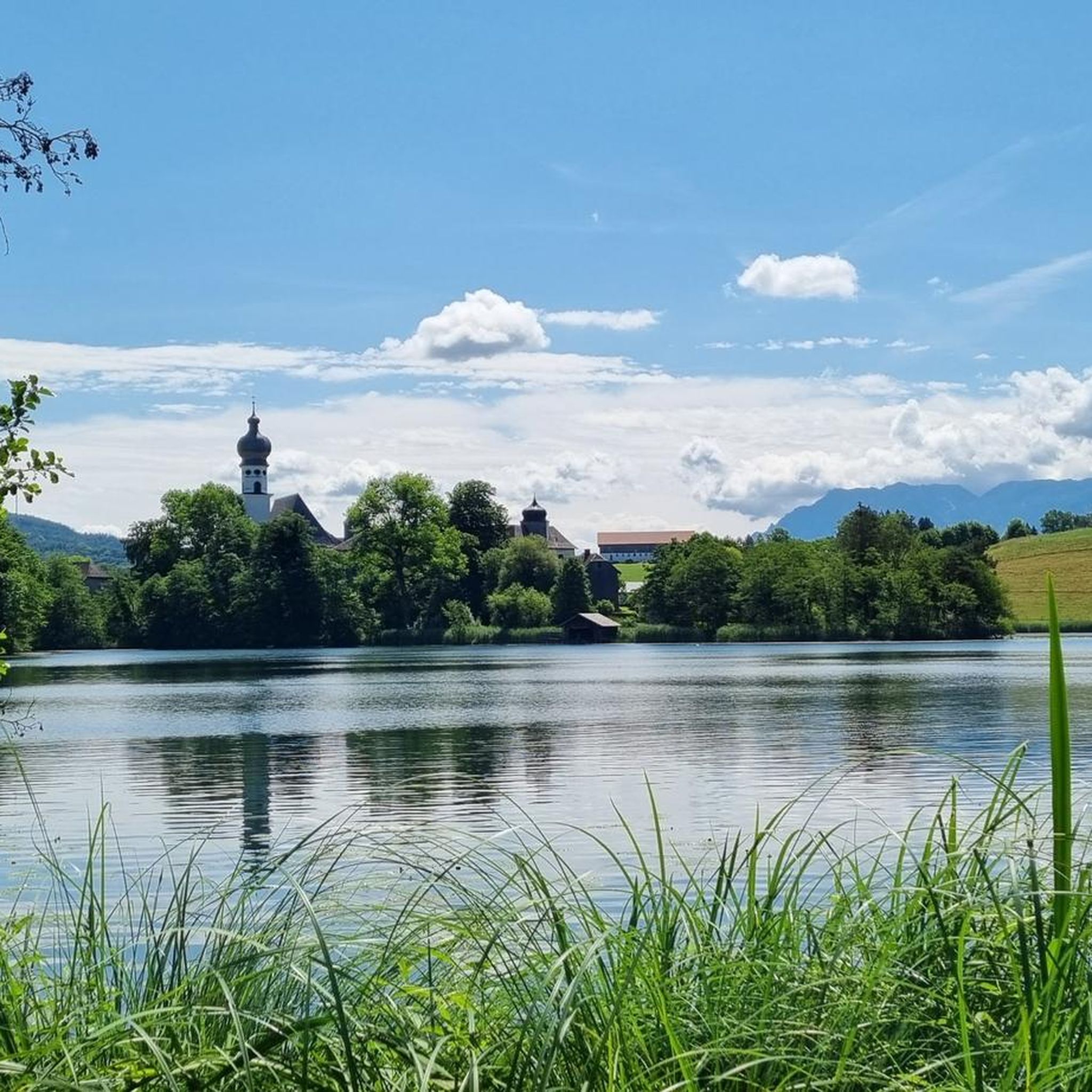
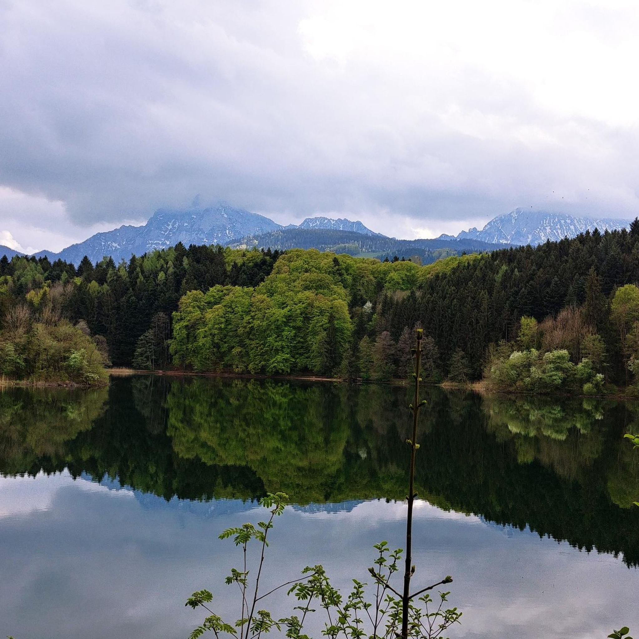
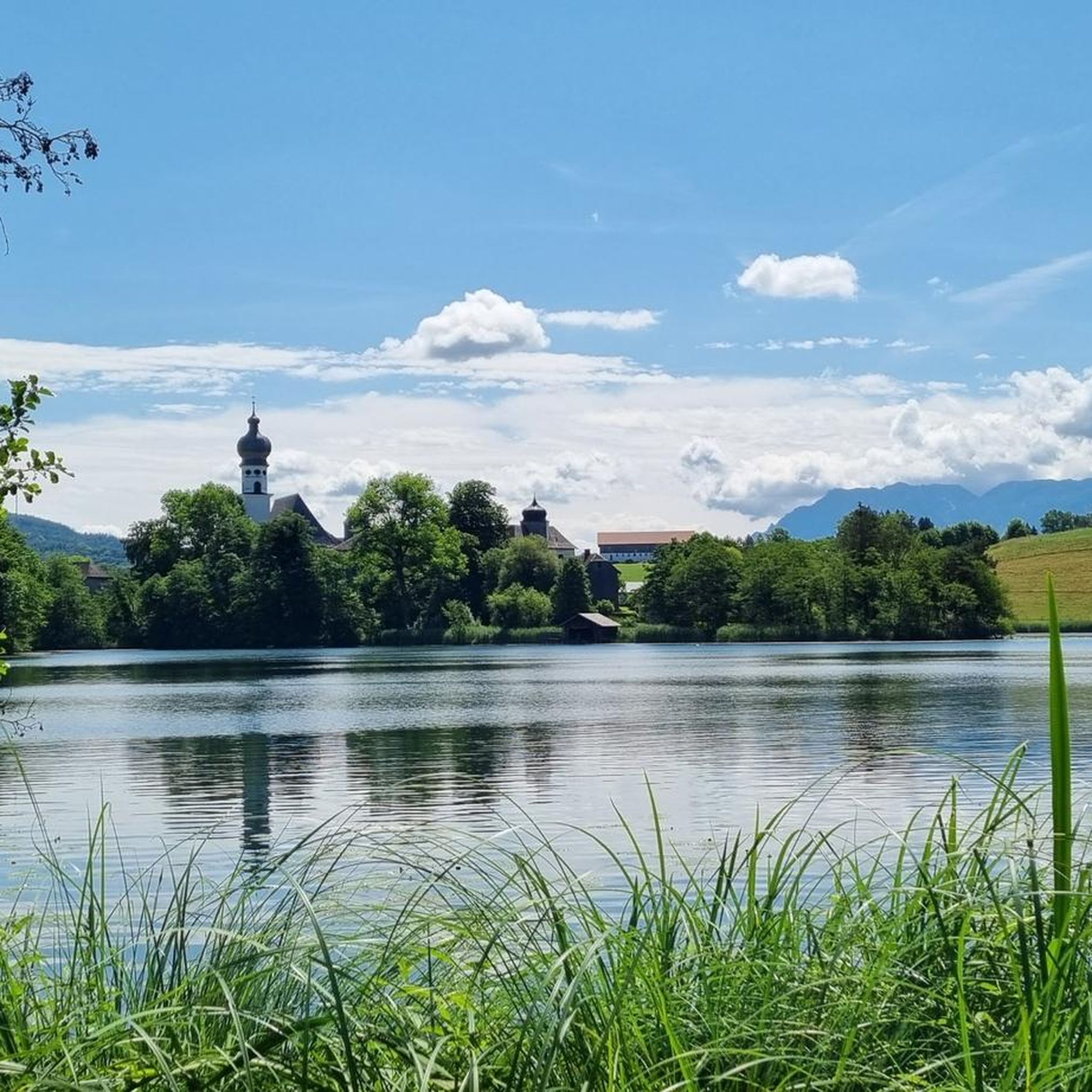
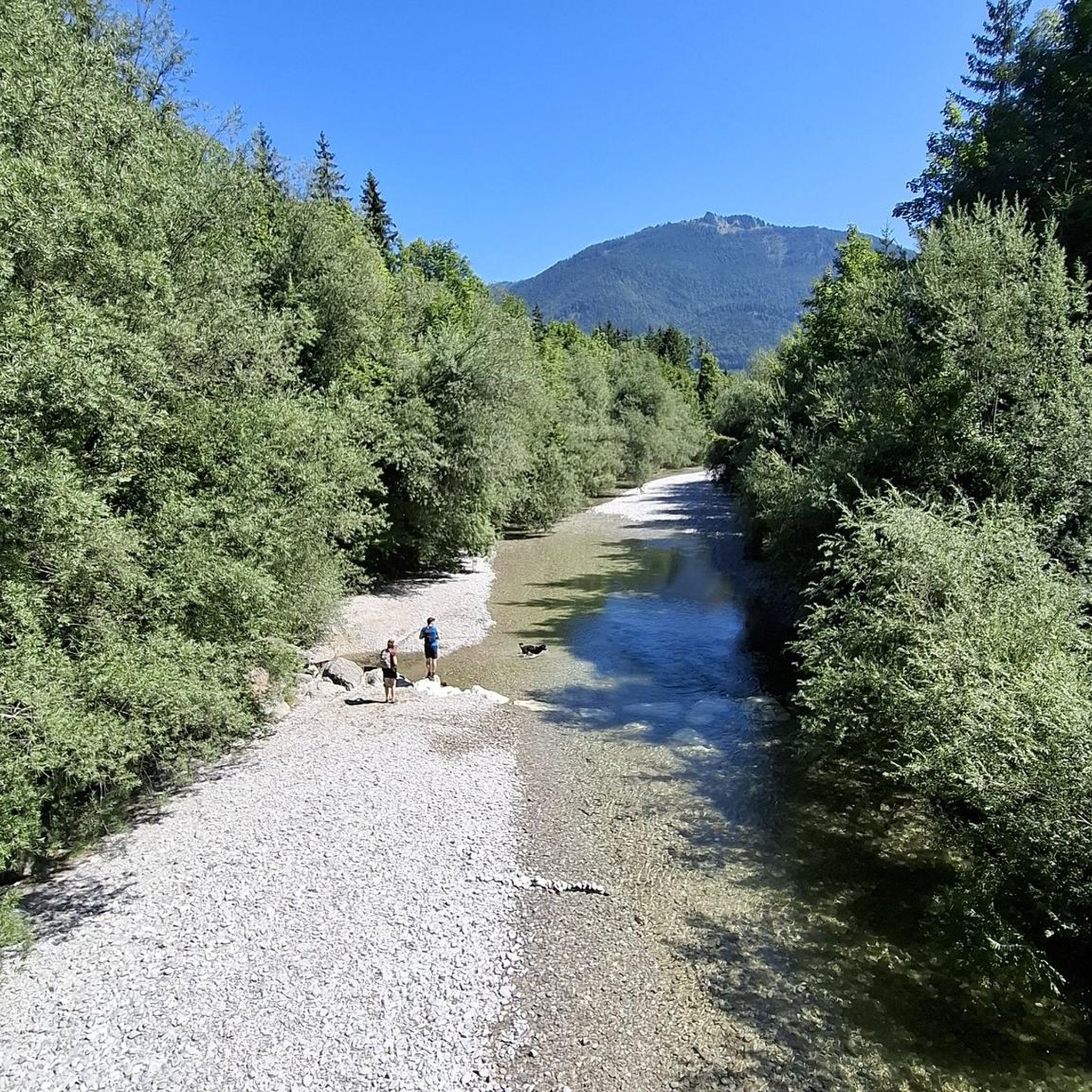
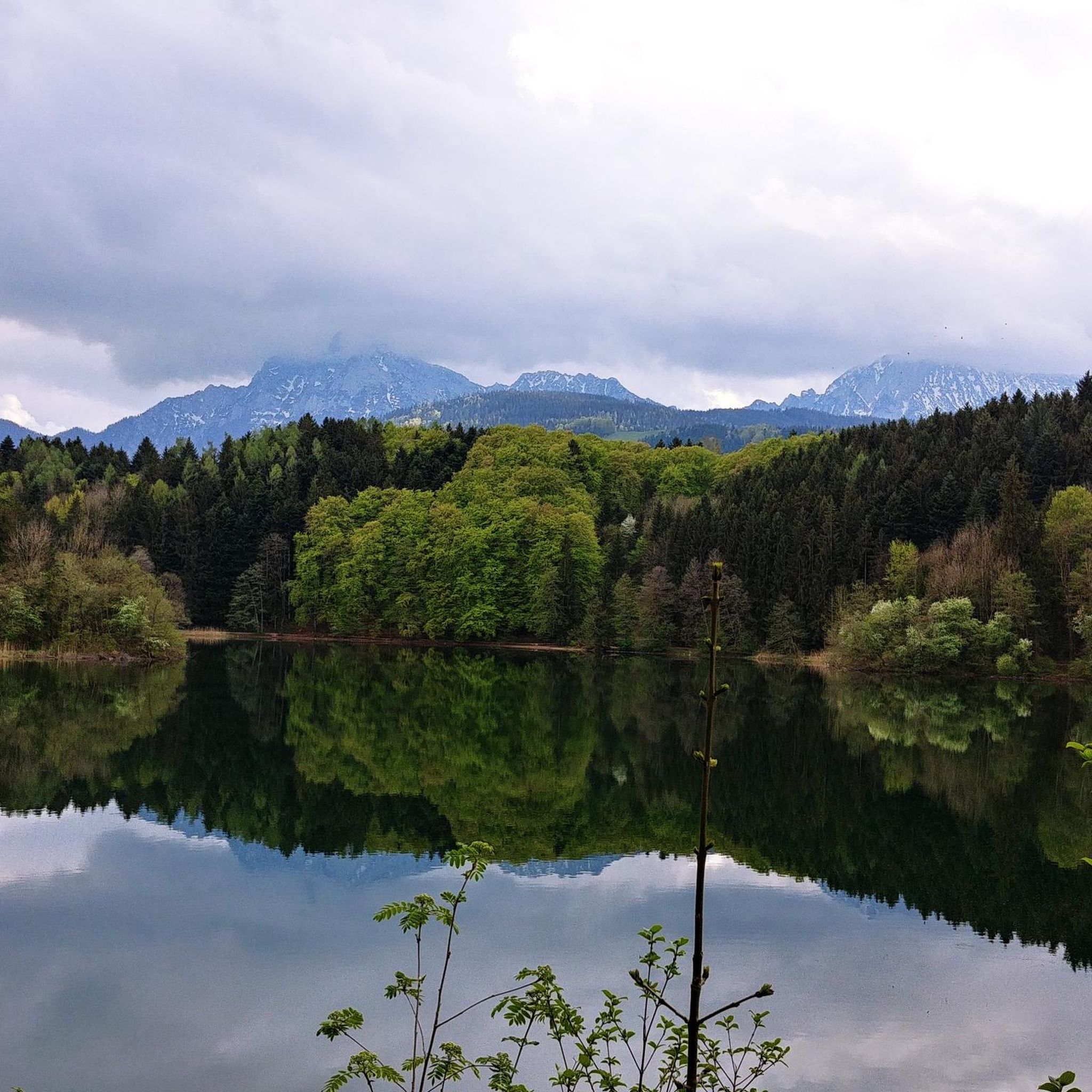
Mountaineering routes around Höglwörther Lake are situated within the Berchtesgadener Land biosphere reserve, a designated landscape conservation area. The immediate vicinity features the picturesque Höglwörther Lake, surrounded by forest paths and meadows. The broader region offers access to more strenuous mountainous terrain, characterized by significant elevation changes and panoramic views of peaks like Hochstaufen and Untersberg. Natural features include the Cascade Waterfall, where streams drop over 30 meters.
Best mountaineering routes around Höglwörther Lake
- The most popular mountaineering route is…
Last updated: October 5, 2026
27
hikers
13.4km
04:27
660m
660m
Moderate mountaineering route. Good fitness required. Mostly accessible paths. Sure-footedness required.
17
hikers
10.7km
04:00
520m
520m
Moderate mountaineering route. Good fitness required. Mostly accessible paths. Sure-footedness required.

4.8
(15)
246
hikers
9.03km
03:53
630m
630m
Moderate mountaineering route. Good fitness required. Mostly accessible paths. Sure-footedness required.
4.0
(1)
57
hikers
3.99km
02:56
540m
540m
Hard mountaineering route. Good fitness required. Sure-footedness, sturdy shoes and alpine experience required.
5.0
(1)
44
hikers
5.80km
04:45
760m
770m
Hard mountaineering route. Good fitness required. Sure-footedness, sturdy shoes and alpine experience required.
Get access to more routes and recommendations from other explorers.
Already have an account?
Our route recommendations are based on thousands of hikes, rides, and runs completed by other people on komoot.
Start today with a free account
Your next adventure awaits.
Tips from the Community

Just below the summit cross, the Teisenberg Westkamm Trail begins.
0
0
Incredible view from the Teisenberg into the Alps.
0
0

Looks very nice and nearby is a wooden fountain where you can rest
0
0
While it would have been good if you hadn't been in a cloud
0
0

Beautiful chapel you should look at when you are up there
0
0

The Reichenhaller Haus is located directly below the summit of the Hochstaufen mountain at approximately 1,750 meters and is a popular stop for hikers and via ferrata climbers. The Alpine Club hut offers a cozy atmosphere, simple overnight accommodations, and a wonderful sun terrace with impressive views over Bad Reichenhall, the Salzach Valley, and as far as Lake Chiemsee. Due to its exposed location, the Reichenhaller Haus is only accessible on foot—either via various mountain trails or the challenging Pidinger Klettersteig (via ferrata). It serves many mountaineers as a rest stop before the final ascent to the summit or as the destination of a scenic day tour.
2
0
The Staufen Chapel stands not far from the summit of the Hochstaufen at an elevation of approximately 1,770 meters and is one of the highest chapels in the Berchtesgadener Land region. It was built in memory of mountaineers who died in mountain accidents and offers a quiet place of contemplation amidst the impressive mountain scenery. The small stone chapel blends harmoniously into the rocky landscape and is a popular destination for hikers and climbers who wish to pause for a moment at the summit of the Hochstaufen. On a clear day, a magnificent view opens up from here over the Saalach Valley to the distant peaks of the Central Alps.
1
0
Frequently Asked Questions
How many mountaineering routes are available around Höglwörther Lake?
There are 47 mountaineering routes around Höglwörther Lake, offering a variety of experiences. You'll find 21 moderate routes and 26 more challenging, difficult options.
What kind of natural features can I expect to see on these routes?
The routes often feature stunning mountain panoramas, including views of peaks like Hochstaufen and Untersberg. You can also discover the beautiful Höglwörth Lake itself and the impressive Cascade waterfall, where streams drop over 30 meters.
Are there any circular mountaineering routes in the area?
Yes, many routes are designed as loops. For example, you could try the Stoisser Alm – View of Teisenberg loop from Achner, a moderate 8.7-mile route with significant elevation gain, or the Mountaineering loop from Neuhaus, which offers varied terrain over 6.7 miles.
What do other mountaineers enjoy most about the routes around Höglwörther Lake?
The area is highly rated by the komoot community, with an average score of 4.6 stars from over 400 reviews. Mountaineers often praise the diverse terrain, from forest paths to open meadows, and the rewarding panoramic mountain views.
Are there any routes that pass by the Cascade waterfall?
While specific mountaineering routes directly to the waterfall aren't detailed, the Cascade waterfall is a prominent natural feature west of Höglwörther Lake. Many local trails and walks in the immediate vicinity of the lake will bring you close to this impressive sight.
Are there any historical landmarks to explore near the mountaineering trails?
Absolutely. The historic Höglwörth Monastery, founded in 1125, is situated on a peninsula in the lake and is a significant landmark with elegant stucco decorations. It's easily accessible and worth a visit.
What is the best time of year for mountaineering around Höglwörther Lake?
The region offers diverse trails suitable for various fitness levels throughout much of the year. Spring to autumn generally provides the most favorable conditions for mountaineering, with pleasant temperatures and clear paths. Winter mountaineering is possible but requires appropriate gear and awareness of snow and ice conditions.
Are there any particularly challenging routes for experienced mountaineers?
Yes, the region offers 26 difficult mountaineering routes. For a demanding experience, consider the Reichenhaller Hut – Hochstaufen summit loop from Hochstaufen, which covers 2.5 miles with significant elevation gain, or the Hochstaufen summit – Reichenhaller Hut loop from Hochstaufen, a 3.6-mile difficult route.
Can I bring my dog on the mountaineering routes?
Many trails in the Berchtesgadener Land biosphere reserve are dog-friendly, but it's always advisable to keep your dog on a leash, especially in areas with wildlife or livestock, and to check for any specific local regulations on individual routes or protected areas.
Are there options for swimming or bathing after a mountaineering tour?
Yes, after your tour, you can cool off at Höglwörther Lake. There are two designated spots for bathing and swimming, including La Petite Maison du Lac – Höglwörth Lake Bath and a swimming spot on the south shore.
What is the typical duration for mountaineering routes in this area?
Route durations vary significantly based on difficulty and length. For instance, the moderate Teisenberg Summit loop from Seiberstadt typically takes around 3 hours 58 minutes to complete, while more challenging routes like the Hochstaufen summit – Reichenhaller Hut loop can take over 4 hours 45 minutes.
Most popular routes around Höglwörther Lake
Most popular attractions around Höglwörther Lake

Get inspired with the komoot mobile app


Explore more
Browse the best Mountain Hikes & Routes in other regions.
