The best walks and hikes around Oberegger Stausee
4.5
(1046)
4,469
hikers
428
hikes
Hiking around Oberegger Stausee traverses a designated nature reserve, characterized by its tranquil reservoir and surrounding natural landscape. The area serves as an important habitat for water birds, offering opportunities for birdwatching. Trails primarily follow field and forest paths, with minimal elevation changes. This region provides accessible and varied routes suitable for different fitness levels.
Best hiking trails around Oberegger Stausee
- The most popular hiking route is View of Oberegger Lake – Oberegger Reservoir loop from Wiesenbach, a 2.8…
Last updated: August 11, 2026
4.5
(63)
208
hikers
4.54km
01:10
20m
20m
Easy hike. Great for any fitness level. Easily-accessible paths. Suitable for all skill levels.
4.6
(14)
52
hikers
Moderate hike. Good fitness required. Easily-accessible paths. Suitable for all skill levels.

Sign up for free
3.5
(2)
5
hikers
Easy hike. Great for any fitness level. Easily-accessible paths. Suitable for all skill levels.
5.0
(2)
17
hikers
Moderate hike. Good fitness required. Easily-accessible paths. Suitable for all skill levels.
5.0
(3)
7
hikers
Moderate hike. Good fitness required. Easily-accessible paths. Suitable for all skill levels.
Get access to more routes and recommendations from other explorers.
Sign up for free
Already have an account?
Our route recommendations are based on thousands of hikes, rides, and runs completed by other people on komoot.
Start today with a free account
Your next adventure awaits.
Login or Signup

Tips from the Community

Beautiful quiet section from the Günz
0
0

The Jakobsstiftungsholz (a charming wooded area) is easily accessible from the Glaserhof. The Glaserhof is a popular place to stop for refreshments in the region between Breitenthal and Deisenhausen.
0
0
The large, striking cross in the Jakobsstiftungsholz forest was erected in 2005.
0
0
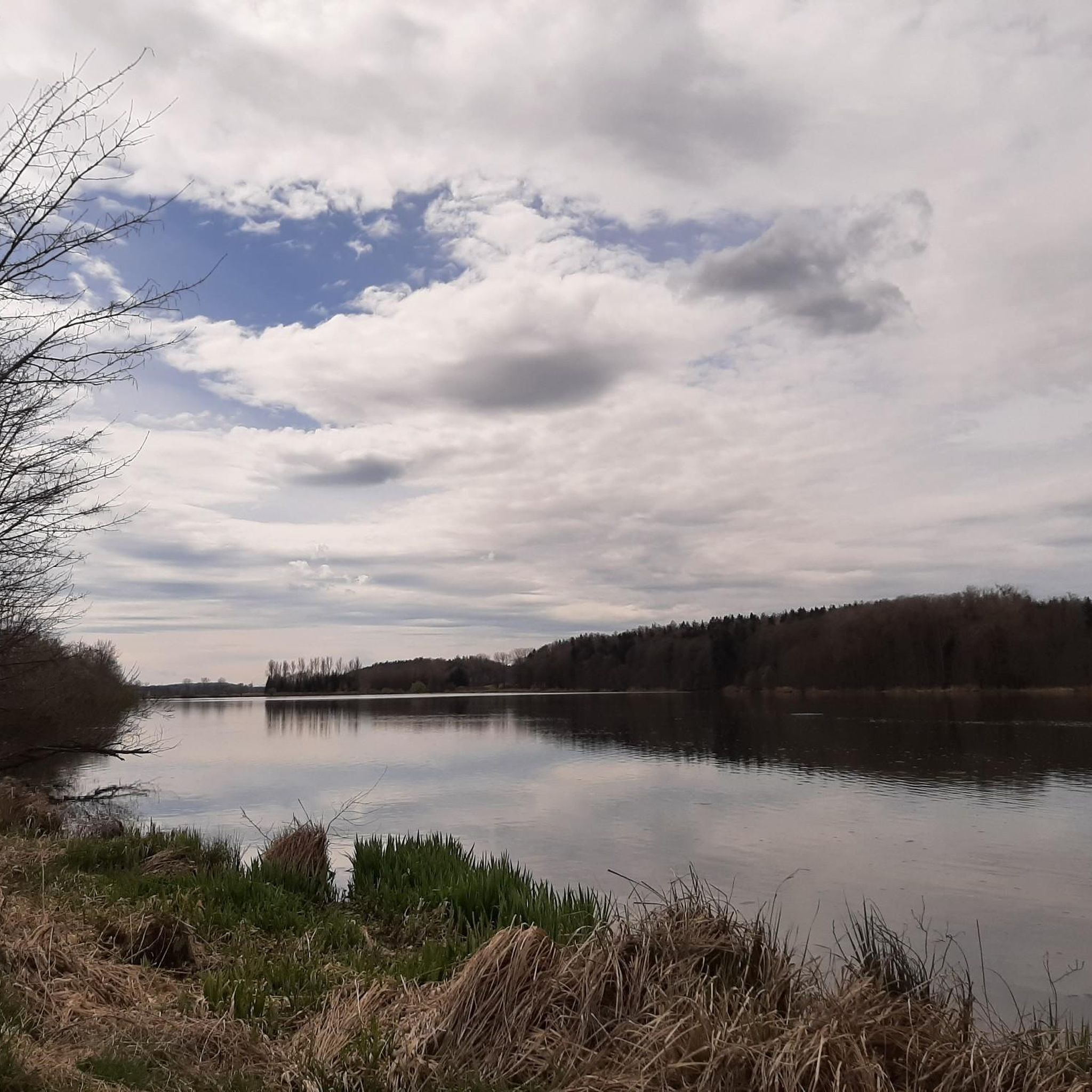
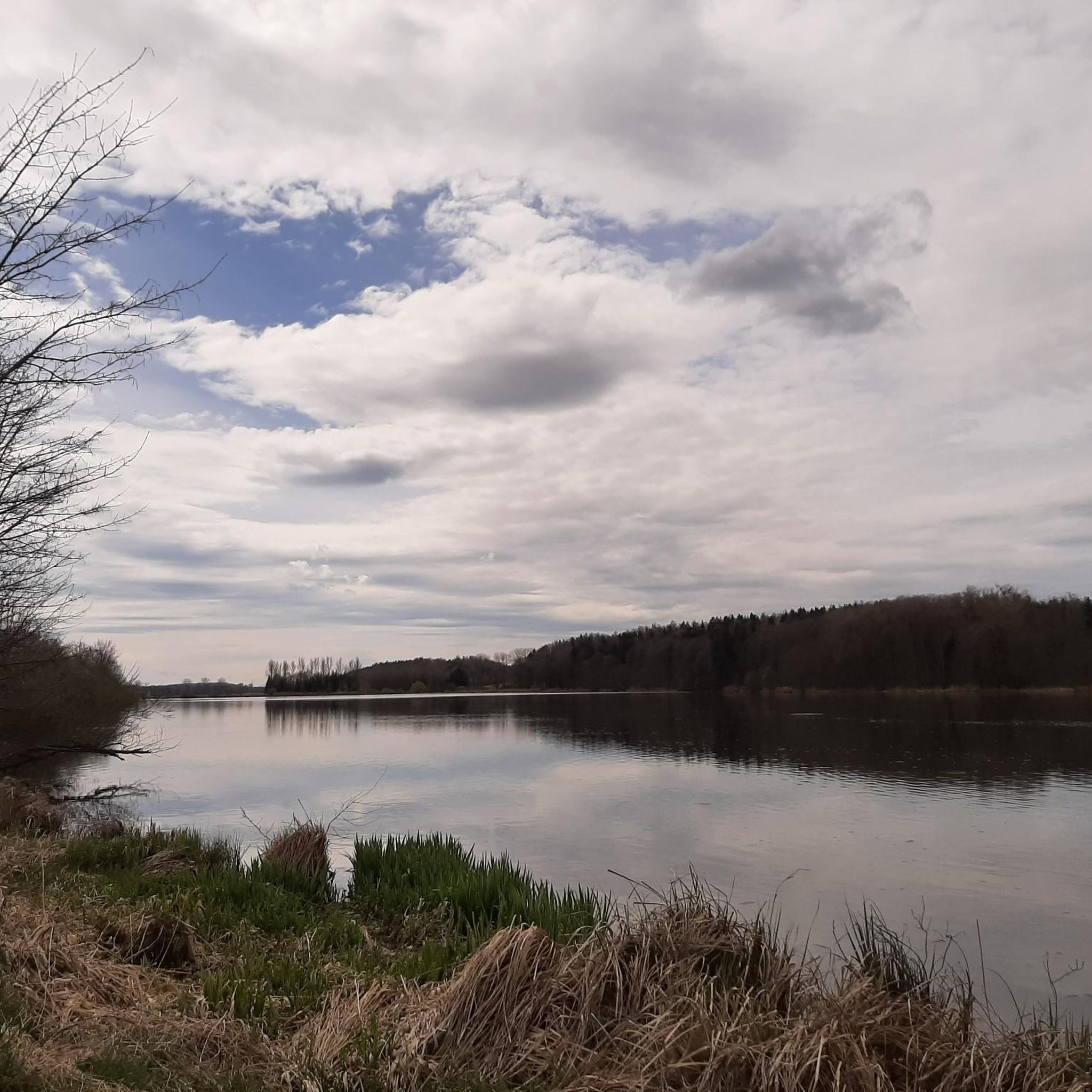
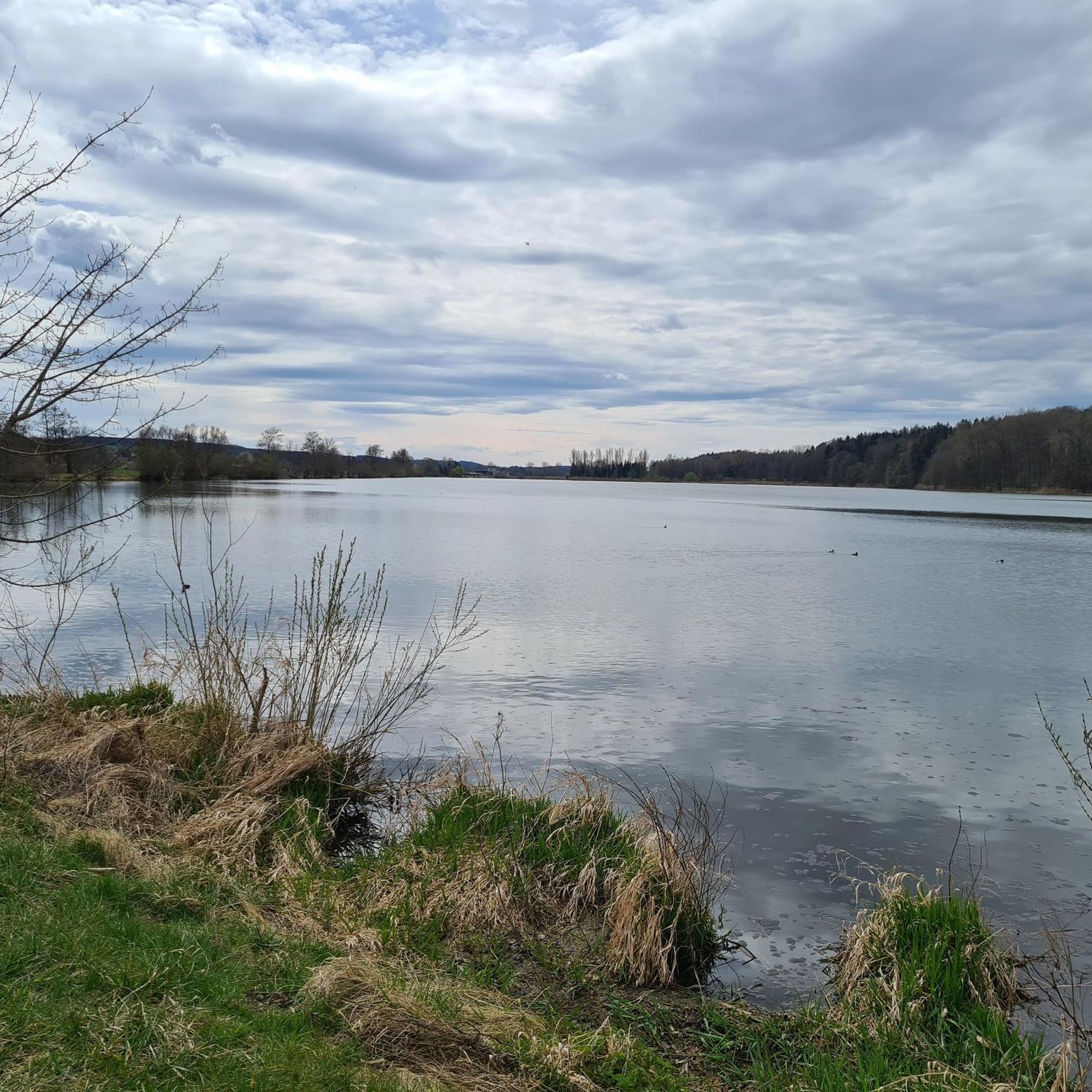
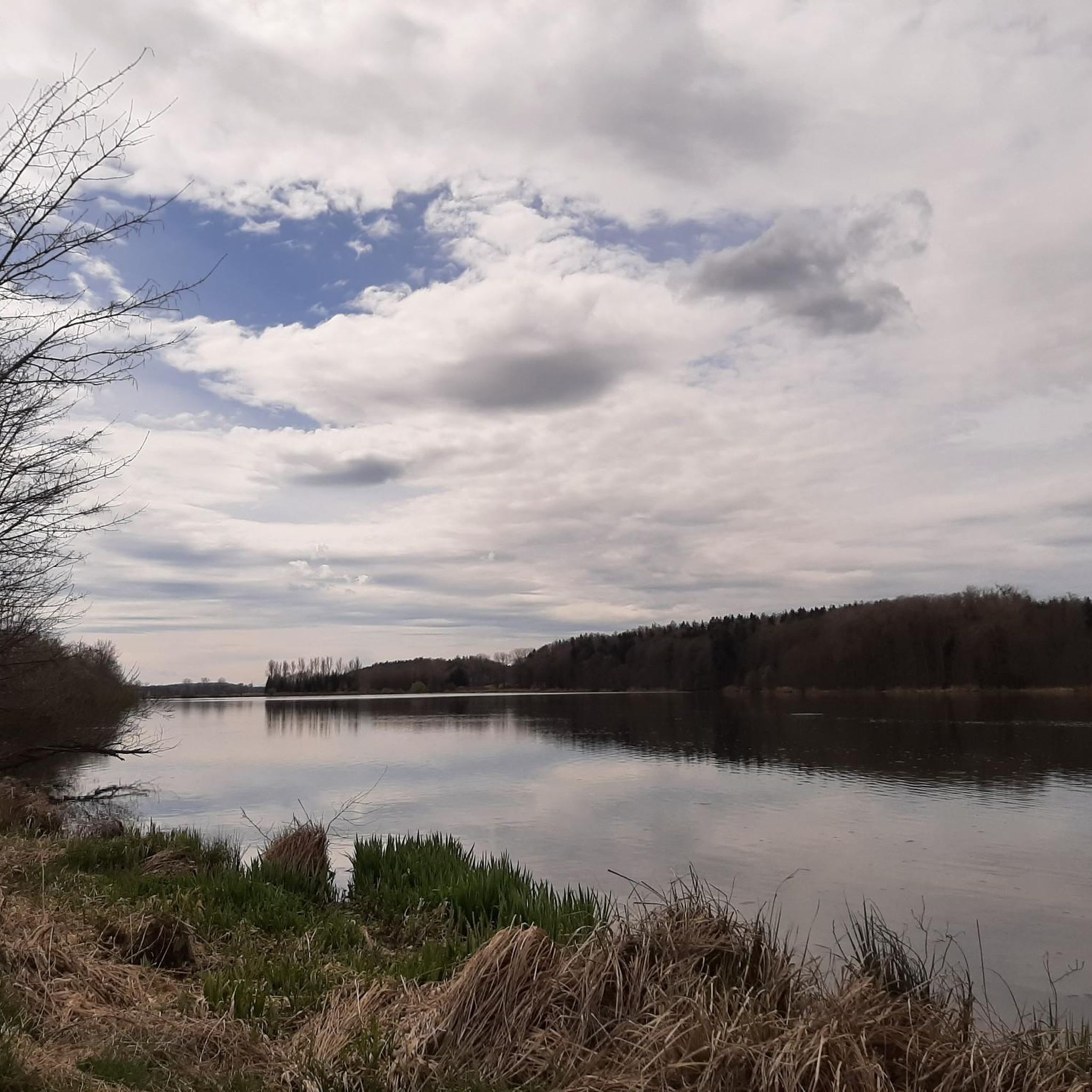
The Oberegger reservoir area is considered a true "bird paradise". During the Second World War, prisoners of war were used in the construction of the lake.
0
0

Small rest area
0
0

Well, what can I write? It's just a bridge...😊
1
0

Beautifully built picnic area just before the lake.
0
0
Frequently Asked Questions
How many hiking trails are available around Oberegger Stausee?
There are over 400 hiking routes around Oberegger Stausee, offering a wide range of options for different preferences and fitness levels. These include easy walks, moderate trails, and a few more challenging options.
What kind of terrain can I expect on the hiking trails around Oberegger Stausee?
The trails around Oberegger Stausee primarily follow field and forest paths. The terrain is generally flat with minimal elevation changes, making most routes easily walkable. You'll experience a romantic natural landscape with views of the reservoir and surrounding woodlands.
Are there any family-friendly hiking routes around Oberegger Stausee?
Yes, many paths around Oberegger Stausee are suitable for families. The designated circular hiking trail around the lake, approximately 4 km long, is particularly popular for its easy accessibility and benches for resting. Routes like the View of Oberegger Lake – Oberegger Reservoir loop from Wiesenbach are also considered easy and great for a family outing.
Can I bring my dog on the hiking trails?
Yes, the area around Oberegger Stausee is generally dog-friendly, and many routes are suitable for walks with dogs. However, as it is a nature reserve and bird sanctuary, it's important to keep dogs on a leash, especially near the water, to protect the local wildlife.
What natural features or landmarks can I see while hiking?
The main natural feature is the Oberegger Reservoir itself, which is a designated bird sanctuary. You can also find highlights like the Singletrack Along the Günz, and spots to observe Highland cattle and swans at the pond. There are also several benches with views of the lake for resting and enjoying the scenery.
Is Oberegger Stausee a good spot for birdwatching?
Absolutely. The Oberegger Stausee is a designated nature reserve and an important regional resting and breeding ground for numerous water birds. It's an excellent location for birdwatching, with many species overwintering here. You might even spot a sea eagle or hear whooper swans.
Are there any circular hiking routes around the lake?
Yes, circular routes are very popular here. A designated circular hiking trail around the lake is approximately 4 km long. Longer options include the View of Oberegger Lake – Oberegger Reservoir loop from Vogelfreistätte Oberegger Stausee, which is about 9.1 km, and the View of Oberegger Lake – Oberegger Reservoir loop from Oberbleichen, covering about 12.4 km.
What is the best time of year to hike around Oberegger Stausee?
The Oberegger Stausee area is beautiful year-round. Spring and autumn offer pleasant temperatures and vibrant natural colors, while summer is ideal for longer days outdoors. Winter hiking is also possible, with the tranquil, often snow-dusted landscape providing a unique experience. Birdwatching is particularly rewarding during migration seasons and winter.
Where can I park when visiting Oberegger Stausee for a hike?
Parking is available at various starting points for the hiking routes. For example, routes often begin from nearby towns like Wiesenbach, Deisenhausen, and Oberbleichen, where you can typically find designated parking areas. There are also specific parking spots near the Vogelfreistätte Oberegger Stausee.
What do other hikers enjoy most about hiking in Oberegger Stausee?
The area is highly rated by the komoot community, with an average score of 4.6 stars from over 900 reviews. Reviewers often praise the tranquil reservoir views, the peaceful field and forest paths, and the rich birdlife, highlighting the area as a perfect escape for relaxation and nature enjoyment.
Can I swim in Oberegger Stausee?
No, bathing in Oberegger Stausee is strictly prohibited. The lake is a designated nature reserve and bird sanctuary, and its primary purpose is to protect the local wildlife. It also functions as a retention basin for the Günz river.
Are there any easy routes for beginners?
Yes, Oberegger Stausee offers many easy routes suitable for beginners. The View of Oberegger Lake – Oberegger Reservoir loop from Wiesenbach (4.5 km) and the Oberegger Reservoir Picnic Area – Oberegger Reservoir loop from Deisenhausen (4.4 km) are both excellent easy options, typically taking just over an hour to complete.
Most popular routes around Oberegger Stausee
Most popular attractions around Oberegger Stausee

Get inspired with the komoot mobile app


Explore more
Browse the best Hikes in other regions.
