The best cycling routes around Harmatinger Weiher
4.6
(3434)
20,927
riders
310
rides
Touring cycling around Harmatinger Weiher offers diverse routes through river valleys, moorland, and areas with views towards the Alps. The region features a mix of flat sections along waterways and gently rolling terrain, providing varied cycling experiences. Riders can explore the Isar and Loisach riverbanks, as well as the Deininger Moor. The landscape is characterized by its natural waterways and open countryside.
Best touring cycling routes around Harmatinger Weiher
- The most popular touring cycling route is Deininger Moor – Isar…
Last updated: August 4, 2026
4.7
(84)
487
riders
Moderate bike ride. Good fitness required. Mostly paved surfaces. Suitable for all skill levels.
4.7
(15)
139
riders
82.6km
05:30
670m
670m
Hard bike ride. Very good fitness required. Mostly paved surfaces. Suitable for all skill levels.

Sign up for free
4.6
(8)
43
riders
61.3km
04:04
400m
400m
Moderate bike ride. Good fitness required. Mostly paved surfaces. Suitable for all skill levels.
5.0
(6)
34
riders
28.1km
01:51
180m
180m
Moderate bike ride. Good fitness required. Mostly paved surfaces. Suitable for all skill levels.
5.0
(1)
18
riders
46.0km
02:54
480m
480m
Hard bike ride. Very good fitness required. Mostly paved surfaces. Suitable for all skill levels.
Get access to more routes and recommendations from other explorers.
Sign up for free
Already have an account?
Our route recommendations are based on thousands of hikes, rides, and runs completed by other people on komoot.
Start today with a free account
Your next adventure awaits.
Login or Signup
Tips from the Community

Here there are wonderful views of the Isar
4
0
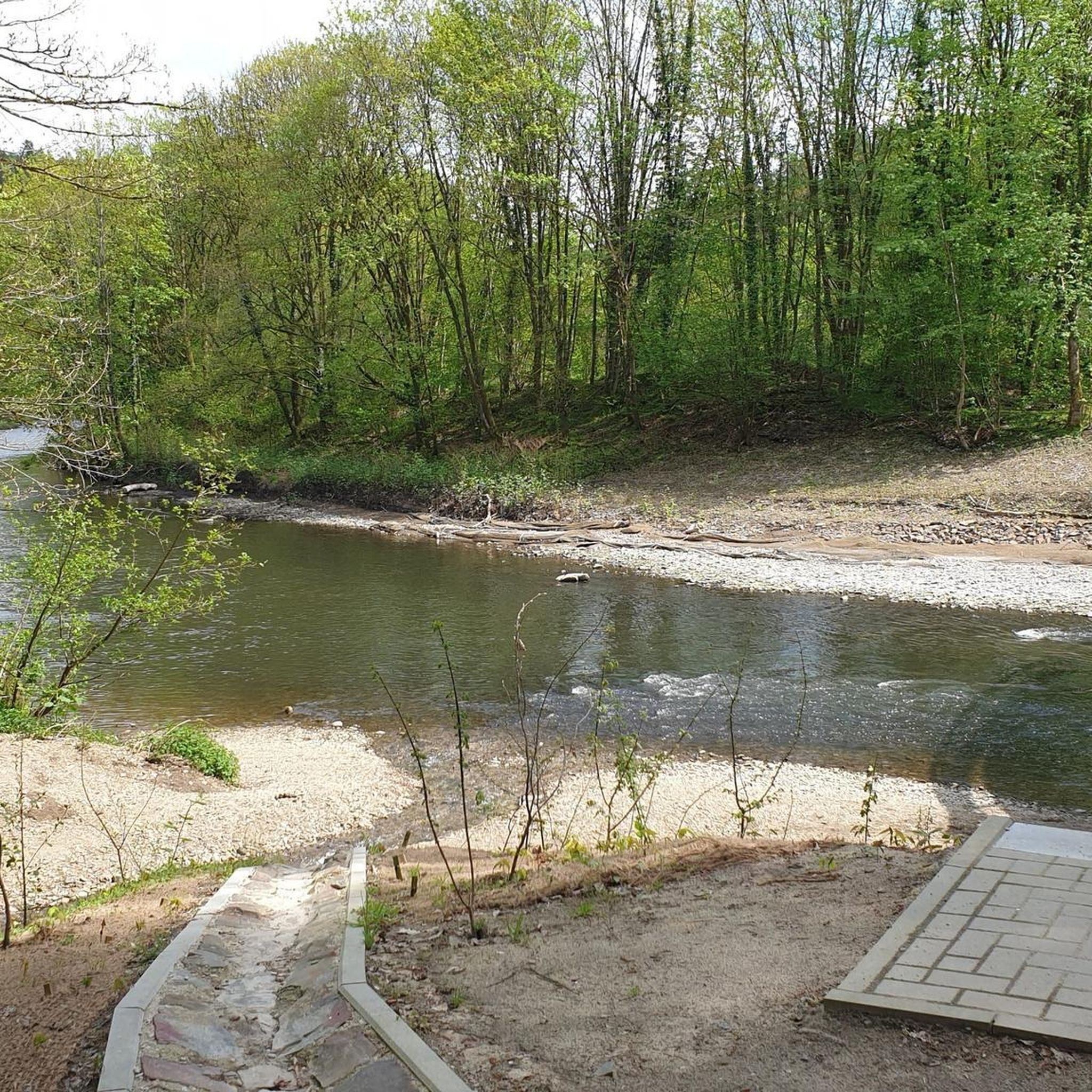
Here you can enjoy a great view of the river
10
0


Simply enjoy the scenery without just looking at the mudflats. Relax & Enjoy
0
0

one of the few bridges over the Isar here... - if you're lucky, you'll see a rafting boat floating by below
0
0

Beautiful view of the Isar and Bad Tölz
3
0
Beautiful view of the mountains near Rothenrain
1
0

The promenade along the Isar River leads to Bad Tölz's old town. There are lawns, benches, playgrounds, and RV parking along the way. There's a beautiful view of Bad Tölz, the wooded cliffs with the Kavalerienberg mountain. Currently, however, the church is covered. On warm summer evenings, the promenade invites you to stroll and linger.
0
0
Frequently Asked Questions
How many touring cycling routes are available around Harmatinger Weiher?
There are over 280 touring cycling routes in the Harmatinger Weiher region. This includes more than 110 easy routes, over 120 moderate options, and around 40 more challenging trails, catering to a wide range of cycling abilities.
Are there many circular touring cycling routes in the Harmatinger Weiher area?
Yes, many of the touring cycling routes around Harmatinger Weiher are designed as loops, allowing you to start and end at the same point. For example, the Isar loop – Marien Bridge loop from Peretshofen is a popular moderate circular route, and the Loisach riverside – Wolfratshausen loop from Ascholding offers another scenic circular option.
What kind of terrain can I expect on touring cycling routes around Harmatinger Weiher?
The region offers a diverse landscape for touring cyclists. You'll find flat sections along the Isar and Loisach riverbanks, gently rolling terrain through open countryside, and paths traversing the unique Deininger Moor. The routes often provide scenic views towards the distant Alps.
Are there any easy touring cycling routes suitable for beginners or families?
Yes, Harmatinger Weiher has over 110 easy touring cycling routes. These often follow riverbanks or traverse flatter moorland areas, making them suitable for beginners or families looking for a relaxed ride. Look for routes with minimal elevation gain for the most comfortable experience.
What is the best time of year for touring cycling in Harmatinger Weiher?
The spring, summer, and early autumn months generally offer the best conditions for touring cycling around Harmatinger Weiher. During these seasons, the weather is typically mild, and the natural landscapes, including the moorland and river valleys, are at their most vibrant. Winter cycling is possible, but some paths might be less accessible due to snow or ice.
Can I find routes with good viewpoints in the Harmatinger Weiher region?
Absolutely. The region is known for its scenic vistas, particularly views towards the Alps. The View of the Alps – St. Mary Magdalene Church, Lochen loop from Goldkofen is specifically highlighted for its panoramic mountain views, offering rewarding sights during your ride.
Are there opportunities for wildlife spotting along the touring cycling routes?
Given the region's natural waterways, riverbanks, and the Deininger Moor, there are good opportunities for wildlife spotting. Keep an eye out for various bird species, especially in the moorland areas, and other local fauna that inhabit these diverse ecosystems.
What do other touring cyclists enjoy most about cycling in Harmatinger Weiher?
The area is highly rated by the komoot community, with an average score of 4.6 stars from over 3,100 reviews. Reviewers often praise the diverse landscapes, from tranquil river valleys to open moorland, and the scenic views towards the Alps. The variety of routes catering to different skill levels is also frequently appreciated.
Are there any cafes or places to stop for refreshments along the routes?
While specific cafes are not listed for every route, the region includes towns and villages like Bad Tölz and Wolfratshausen, which are likely to have refreshment stops. Planning your route to pass through these settlements will provide opportunities for breaks and local culinary experiences.
Is public transport available to access touring cycling routes in Harmatinger Weiher?
The Harmatinger Weiher region is generally accessible by public transport, particularly to larger towns and villages nearby. It's advisable to check local bus and train schedules for specific starting points of routes, especially if you plan to bring your bike on public transport.
Are there any routes suitable for advanced touring cyclists looking for a challenge?
Yes, for advanced touring cyclists, there are around 40 difficult routes available. These routes typically cover longer distances and include more significant elevation changes. The Deininger Moor – Isar riverbank in Bad Tölz loop from Moosham, for instance, is a challenging 50-mile route with over 600 meters of elevation gain.
Can I bring my dog on touring cycling routes around Harmatinger Weiher?
Many touring cycling routes in natural areas like Harmatinger Weiher are dog-friendly, especially those on wider paths or quiet country roads. However, it's always recommended to keep your dog on a leash, particularly in nature reserves or areas with livestock, and to check for any specific local regulations regarding dogs on trails.
Most popular routes around Harmatinger Weiher

Get inspired with the komoot mobile app


Explore more
Browse the best Cycling routes in other regions.
