The best walks and hikes around Saalachsee
4.6
(19778)
89,664
hikers
761
hikes
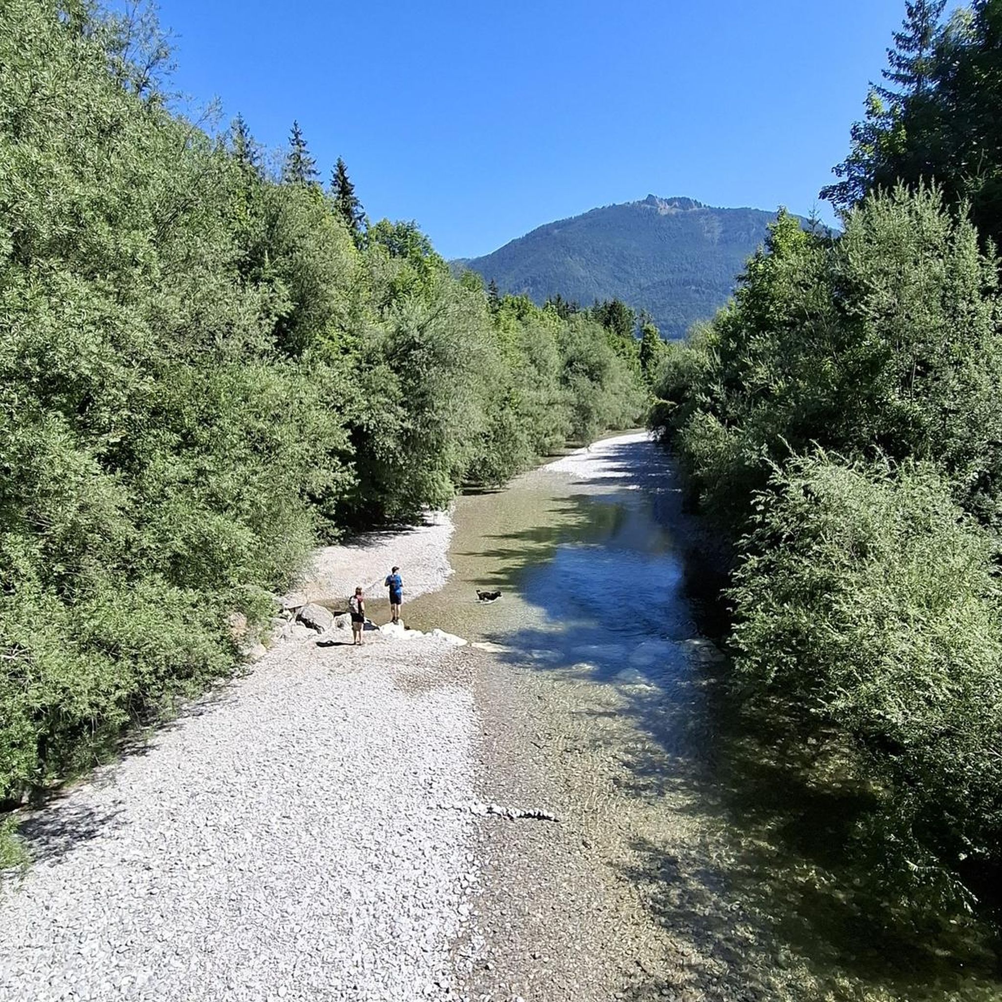
Hiking around Saalachsee offers a diverse landscape characterized by the lake itself, surrounding hills, and the foothills of the Bavarian Alps. The region features a mix of dense forest paths, open viewpoints, and trails along the Saalach river. Elevations vary from gentle lakeside strolls to more challenging ascents towards summits like Predigtstuhl and Dötzenkopf.
Best hiking trails around Saalachsee
- The most popular hiking route is Predigtstuhl Viewpoint – Predigtstuhl Summit loop from Bad Reichenhall, a 9.1 miles (14.7 km) trail that takes 6 hours 55 minutes to complete. This difficult route leads to a prominent summit with expansive views.
- Another top favourite among local hikers is View from Bürgermeisterhöhe – Teufelsschlucht loop from Bad Reichenhall, a moderate 2.0 miles (3.3 km) path. This trail explores a scenic viewpoint and the unique Teufelsschlucht gorge.
- Local hikers also love the Dwarf Trail – SalzAlpenSteig loop from Bad Reichenhall, a 2.1 miles (3.4 km) trail leading through forest paths and sections of the SalzAlpenSteig, often completed in about 1 hour 13 minutes.
- Hiking around Saalachsee is defined by varied mountain trails, forest paths, and lake views, with options ranging from easy family-friendly walks to challenging summit ascents. The network offers options for different ability levels, including easy hikes near Saalachsee and more demanding routes.
- The routes in Saalachsee are highly rated by the komoot community with an average score of 4.6 stars from over 16,000 reviews. More than 79,000 hikers have used komoot to explore Saalachsee's varied terrain.
Last updated: August 1, 2026
4.5
(91)
339
hikers
4.45km
01:44
240m
250m
Moderate hike. Great for any fitness level. Mostly accessible paths. Sure-footedness required.
4.9
(9)
46
hikers
3.26km
01:27
210m
210m
Moderate hike. Great for any fitness level. Mostly accessible paths. Sure-footedness required.

Sign up for free
4.8
(4)
17
hikers
3.44km
01:13
140m
140m
Moderate hike. Great for any fitness level. Mostly accessible paths. Sure-footedness required.
4.7
(185)
824
hikers
Moderate hike. Good fitness required. Mostly accessible paths. Sure-footedness required.
4.7
(59)
426
hikers
4.23km
01:05
10m
10m
Easy hike. Great for any fitness level. Easily-accessible paths. Suitable for all skill levels.
Get access to more routes and recommendations from other explorers.
Sign up for free
Already have an account?
Our route recommendations are based on thousands of hikes, rides, and runs completed by other people on komoot.
Start today with a free account
Your next adventure awaits.
Login or Signup

Tips from the Community


A great hidden object game hike for children. Adults can have fun too 😉.
0
0

Nice chapel with a very beautiful view of Bad Reichenhall.
0
0
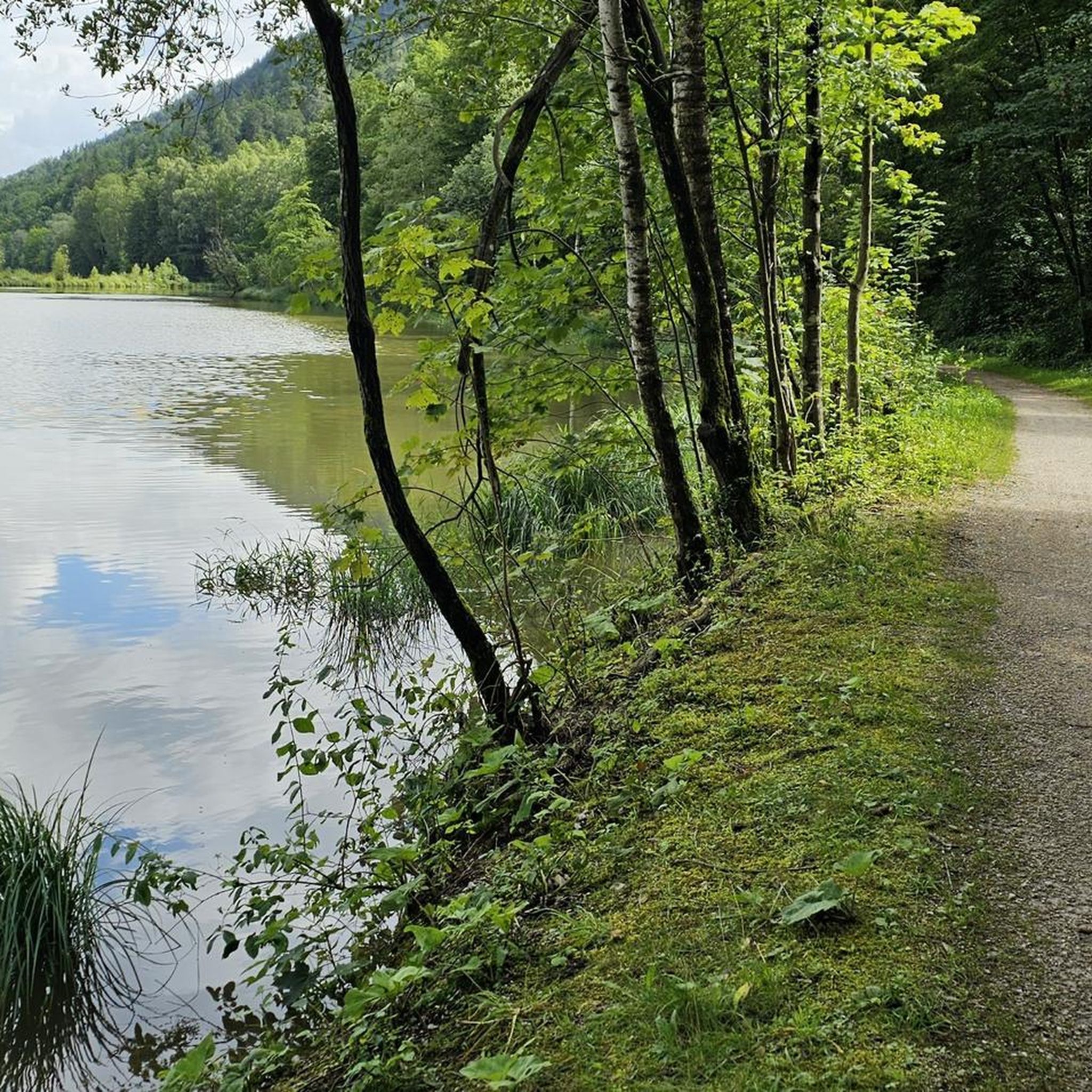
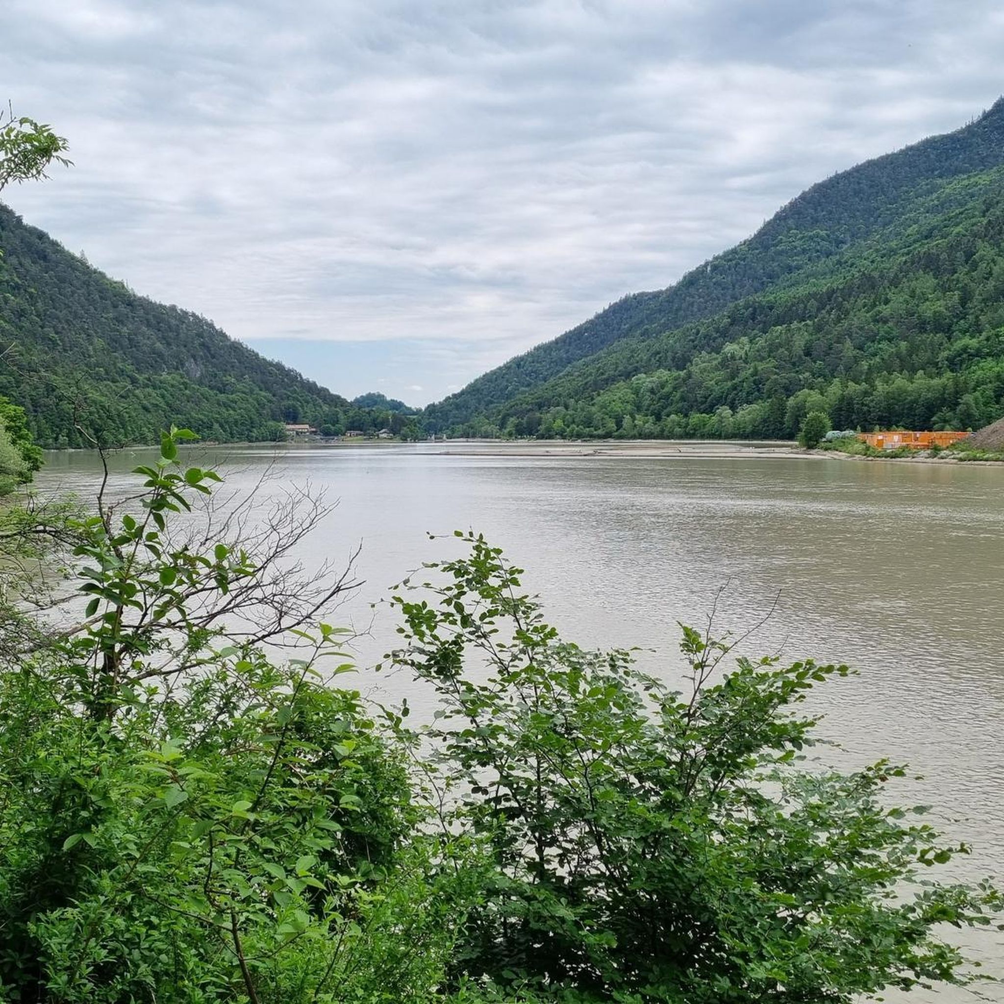
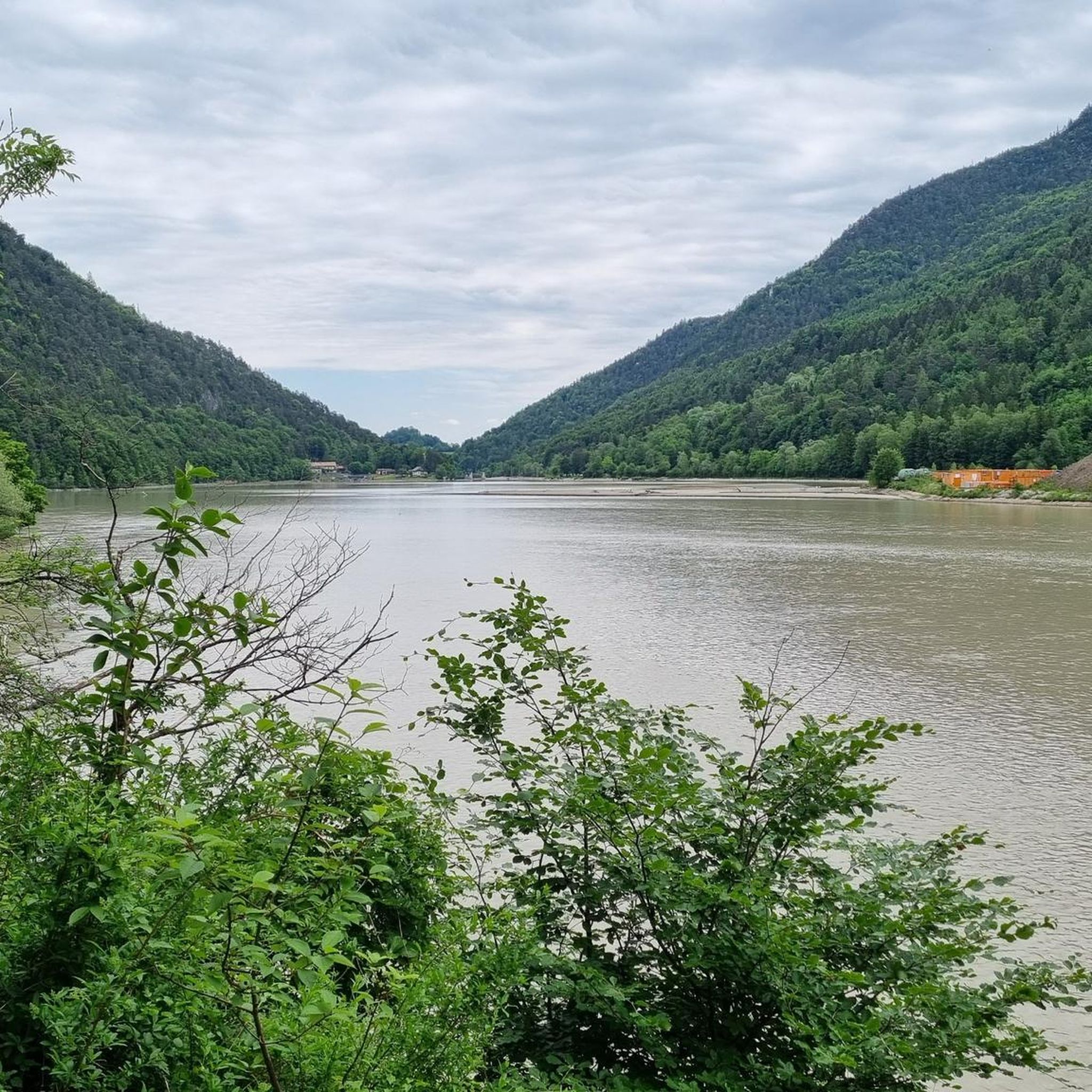
Reservoir in the Saalach
0
0

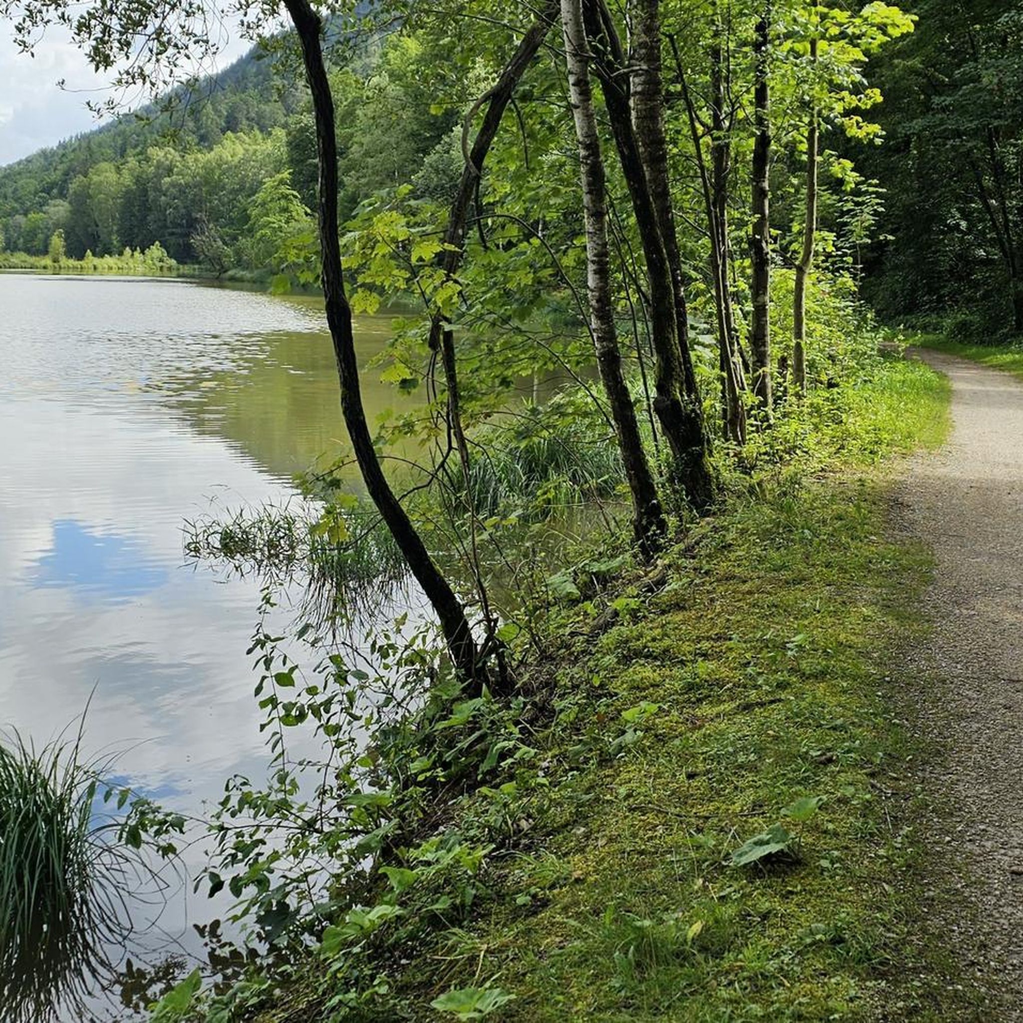
Very beautifully designed path.
0
0
The path is beautiful and interesting!
0
0

The SalzAlpenSteig trail also runs along this area. All information about the trail can be found at the following link: www.salzalpensteig.com/wanderetappen/etappenuebersicht.html (as of August 12, 2025).
0
0
The SalzAlpenSteig trail also runs along this area. All information about the trail can be found at the following link: www.salzalpensteig.com/wanderetappen/etappenuebersicht.html (as of August 12, 2025).
0
0
Frequently Asked Questions
How many hiking trails are available around Saalachsee?
There are over 760 hiking trails around Saalachsee, offering a wide range of options for all skill levels. This includes more than 340 easy routes, nearly 300 moderate trails, and over 120 challenging hikes.
Are there easy, family-friendly hikes around Saalachsee?
Yes, Saalachsee offers many easy and family-friendly options. For a pleasant stroll, consider the View of Hochstaufen loop from Bad Reichenhall-Kirchberg, an easy 4.4 km route. Many trails along the lake shore are also suitable for families.
What kind of circular walks can I find near Saalachsee?
Circular walks are a popular way to explore the area. A great option is the Dwarf Trail – SalzAlpenSteig loop from Bad Reichenhall, a moderate 3.4 km trail that takes you through forest paths and sections of the scenic SalzAlpenSteig.
Are there any challenging hikes for experienced trekkers?
Absolutely. For those seeking a challenge, the region offers demanding ascents. The Predigtstuhl Viewpoint – Predigtstuhl Summit loop from Bad Reichenhall is a difficult 14.7 km trail with significant elevation gain, leading to expansive views from the summit.
What are some interesting viewpoints or attractions along the trails?
The Saalachsee area is rich with scenic spots. You can find stunning vistas like the View over Saalachsee towards Reiteralpe. The View from Bürgermeisterhöhe – Teufelsschlucht loop from Bad Reichenhall also explores a scenic viewpoint and the unique Teufelsschlucht gorge. The lake itself, Lake Saalach, is a central attraction.
Is Saalachsee a good destination for dog-friendly hiking?
Yes, many trails around Saalachsee are suitable for hiking with dogs. The region's diverse paths, from lakeside strolls to forest trails, provide ample opportunities for you and your canine companion to explore. Always remember to keep your dog on a leash where required and clean up after them.
What is the best time of year to go hiking around Saalachsee?
The best time for hiking around Saalachsee is generally from spring through autumn (April to October). During these months, the weather is usually pleasant, and all trails are accessible. Winter hiking is also possible on cleared paths, but higher elevation routes may require special equipment or be closed due to snow.
Are there options for moderate hikes with good views?
Yes, there are plenty of moderate hikes that offer rewarding views. The Dötzenkopf Cliffside Trail – Dötzenkopf loop from Bad Reichenhall-Kirchberg is a moderate 8.1 km route that provides excellent views and a varied terrain.
Where can I find parking for hiking trails near Saalachsee?
Parking is generally available at various trailheads and in nearby towns like Bad Reichenhall. Specific parking information is often provided on individual komoot Tour pages, so it's best to check the details for your chosen route before you go.
What do other hikers say about the trails in Saalachsee?
The trails in Saalachsee are highly regarded by the komoot community, with an average rating of 4.6 stars from over 16,000 reviews. Hikers frequently praise the diverse landscapes, well-maintained paths, and the stunning views of the lake and surrounding mountains.
Are there any cafes or refreshment stops along the hiking routes?
While specific cafes directly on every trail vary, the towns and villages surrounding Saalachsee, particularly Bad Reichenhall, offer numerous options for refreshments, from traditional Bavarian inns to modern cafes. Many routes pass close to these areas, making it easy to plan a stop.
Most popular routes around Saalachsee
Most popular attractions around Saalachsee

Get inspired with the komoot mobile app


Explore more
Browse the best Hikes in other regions.
