The best mountain hikes around Drachensee
5.0
(7)
37
hikers
5
hikes
Mountaineering routes around Drachensee are characterized by varied terrain, including forested slopes and elevated peaks. The region offers a network of trails that traverse through natural landscapes, providing opportunities for ascents and descents. These routes often feature changes in elevation, leading through areas with diverse flora and geological formations. The trails are designed for those seeking to explore the natural environment through physical activity.
Best mountaineering routes around Drachensee
- The most popular mountaineering route is Eckstein Summit (Hohenbogen) – Schönblick…
Last updated: October 9, 2026
5.0
(3)
8
hikers
Moderate mountaineering route. Good fitness required. Mostly accessible paths. Sure-footedness required.
2
hikers
5.94km
01:59
280m
280m
Moderate mountaineering route. Great for any fitness level. Mostly accessible paths. Sure-footedness required.

2
hikers
Easy mountaineering route. Great for any fitness level. Easily-accessible paths. Suitable for all skill levels.
Moderate mountaineering route. Good fitness required. Mostly accessible paths. Sure-footedness required.
5.0
(2)
10
hikers
Moderate mountaineering route. Good fitness required. Mostly accessible paths. Sure-footedness required.
Our route recommendations are based on thousands of hikes, rides, and runs completed by other people on komoot.
Start today with a free account
Your next adventure awaits.
Tips from the Community

Always worth a visit, super highlight.
0
0

Currently (August 2026) the fountain unfortunately has no water. Alternatively, the "steinerne Brünnel" (near the intersection Gaisriegelweg/Dreibächeweg) is recommended for refilling your water bottle.
0
0

The Steinerne Brünnl is an idyllic stop in the district of Cham, accompanying hikers on their way from Voithenberg up to the popular excursion area at Gibacht. Located in the middle of the shady forest, this historic spot often serves as a charming landmark and a small oasis of tranquility. From here, the paths wind their way further into the dense state forest towards the mountain inn and to great viewpoints.
1
0

Great view, even if only in part.
1
0
Very good economy, delicious food and good drinks at reasonable prices with the best terrace view
2
0
The complex is very impressive. The viewing platform costs €6. Keep your receipt, as you'll need it again to exit. The view is phenomenal. There's a lovely beer garden at the base of the tower.
2
0
You quickly walk past it because the summit is barely visible.
1
0

The easiest way to get there is to take the chairlift from Neukirchen hl Blut up and then walk there and back and take the chairlift down again
1
0
Frequently Asked Questions
How many mountaineering routes are available around Drachensee?
There are currently 5 mountaineering routes documented around Drachensee, offering a range of experiences for different skill levels.
What is the best time of year for mountaineering in the Drachensee region?
The best time to visit for hiking and mountaineering in the Drachensee region is typically from summer to mid-October. Early morning starts are often recommended to avoid crowds during peak season.
Are there any easy mountaineering routes suitable for beginners or families around Drachensee?
Yes, there is an easy mountaineering route available. Consider the Reiseckbrünnerl – Stone Spring loop from Voithenberg, Wanderparkplatz Reisecker Str., which is 4.6 km long and takes about 1 hour 25 minutes to complete. While rated easy, mountaineering routes generally require sure-footedness and sturdy shoes.
What are some of the natural attractions or landmarks I can see while mountaineering near Drachensee?
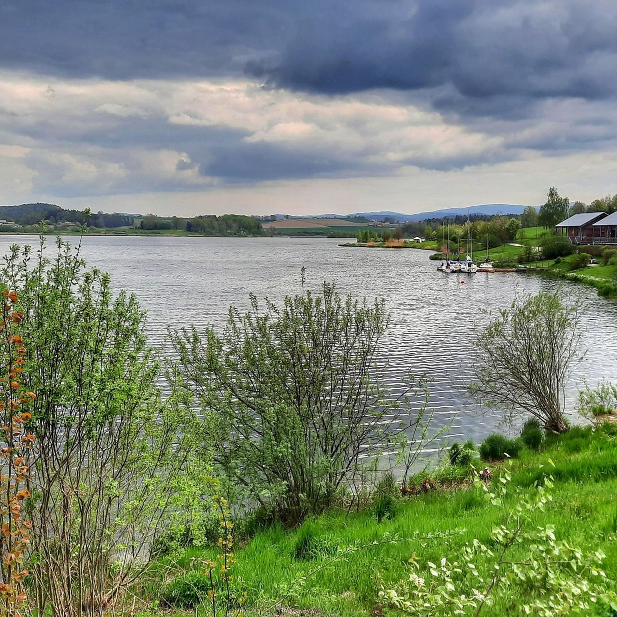
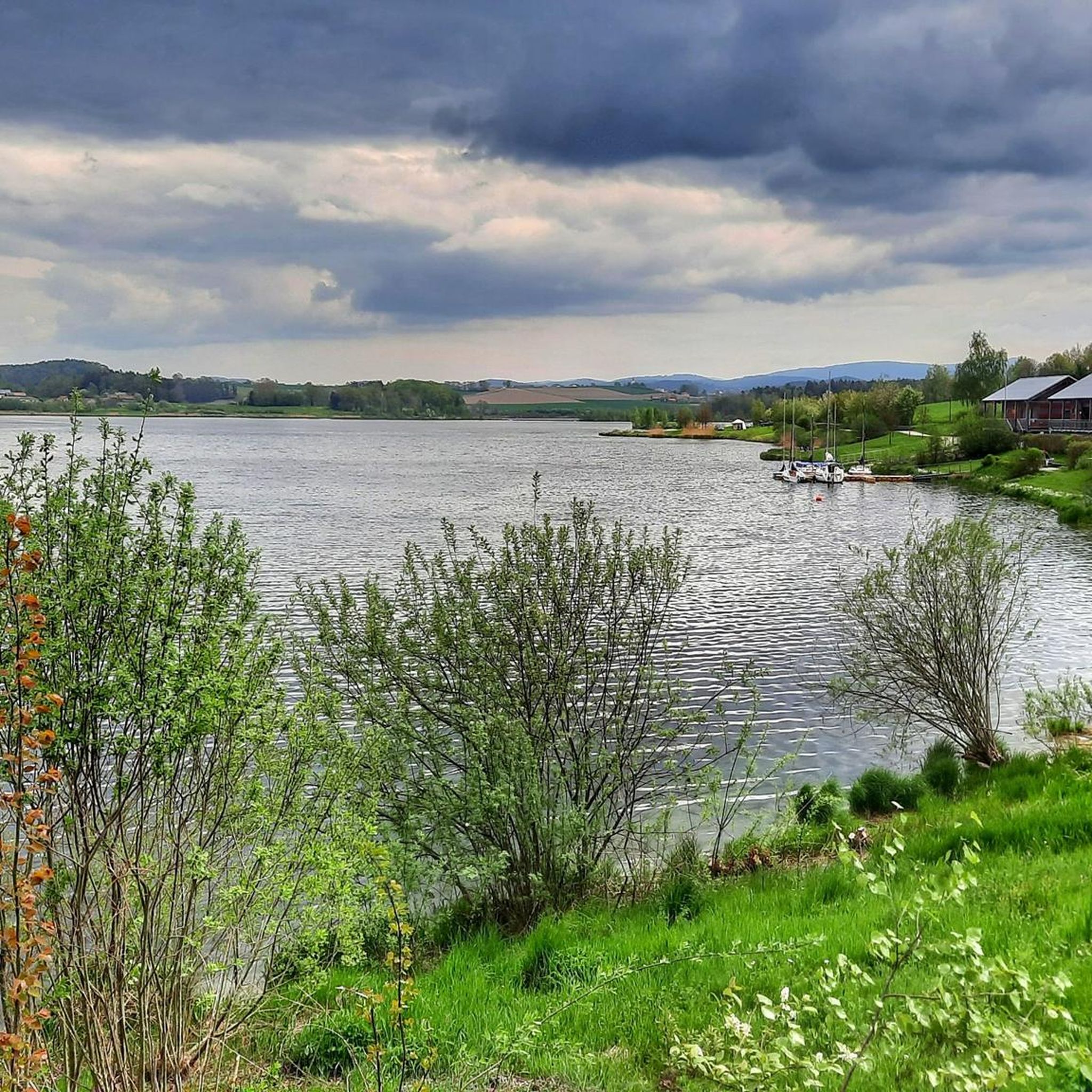
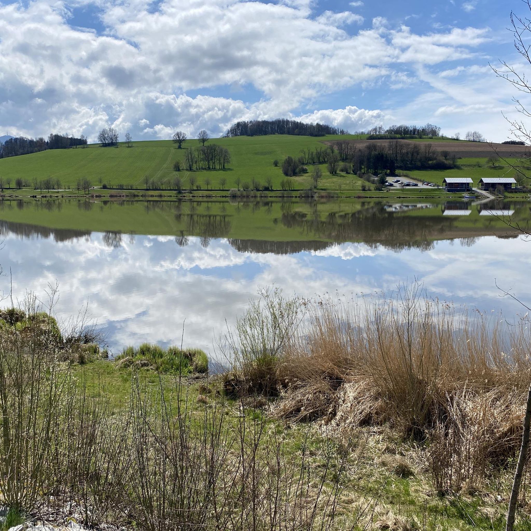
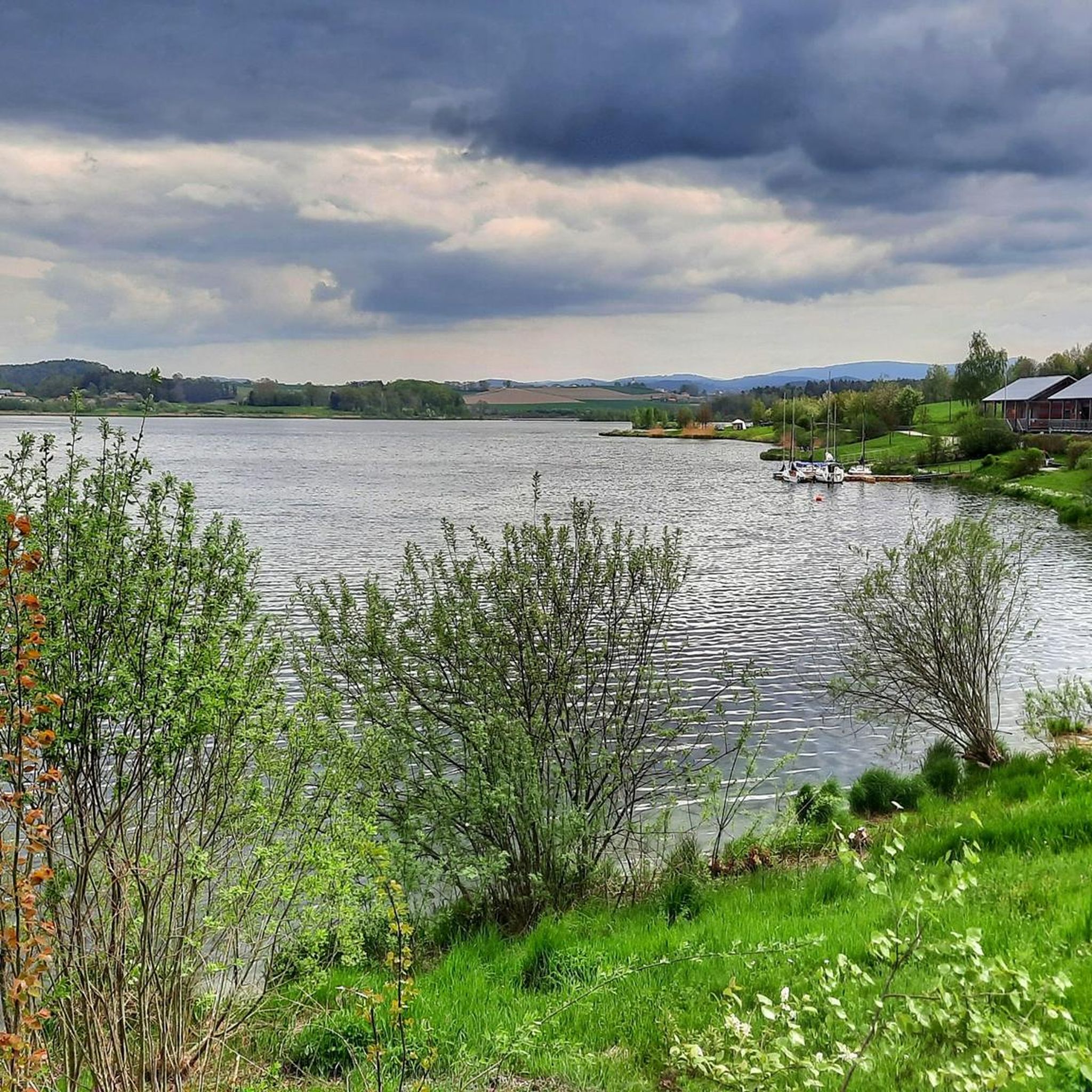
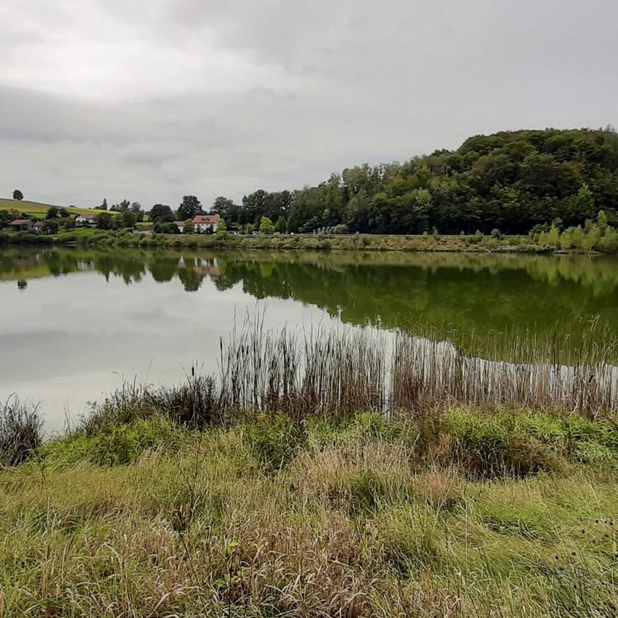
The region is rich in natural beauty. You can explore the stunning Dragon Lake itself, or visit the Mythos Drache — Sculpture and view over Drachensee for panoramic vistas. There's also a Bird hide at Drachensee for nature observation.
What do other mountaineers enjoy most about the Drachensee area?
The Drachensee area is highly rated by the komoot community, with an average score of 5.0 stars from over 5 reviews. Mountaineers often praise the varied terrain, which includes forested slopes and elevated peaks, and the diverse natural landscapes that provide a rewarding physical activity.
Are there any circular mountaineering routes in the Drachensee region?
Yes, many of the routes are designed as loops. For example, the Eckstein Summit (Hohenbogen) – Schönblick House loop from Sendeanlage Bayerischer Rundfunk is a moderate 8.9 km circular trail. Another option is the Dachsriegel Mountain Hut – Rock Labyrinth Near Lixenried loop from Ponnholzbachtal, which is 6.8 km long.
What kind of terrain can I expect on mountaineering routes around Drachensee?
Mountaineering routes around Drachensee feature varied terrain, including forested slopes and elevated peaks. You'll encounter changes in elevation, leading through areas with diverse flora and geological formations. Some trails, especially those leading to higher altitudes like the Coburger Hütte, can be very narrow and rocky, requiring sure-footedness.
Are there any challenging mountaineering routes for experienced climbers near Drachensee?
For experienced mountaineers seeking a challenge, the region offers routes that demand very good fitness and alpine experience. While not explicitly listed in the provided routes, the broader Drachensee area is known for 'hard mountaineering routes' that can involve technical, difficult, or hazardous terrain, such as the Hoher Gang via ferrata or the Drachenkopf Summit with Grade I climbing.
How long do the mountaineering routes typically take to complete?
The duration varies depending on the route and your pace. For instance, the moderate Reiseckbrünnerl – Stone Spring loop from Voithenberg typically takes about 1 hour 59 minutes, while the longer Bärenriegel (1,017 m) – Ahornriegel Summit Cross loop from Neukirchen beim Heiligen Blut can take around 3 hours 39 minutes.
What are the general difficulty levels of mountaineering routes in this area?
The mountaineering routes around Drachensee cater to various ability levels. You'll find routes rated as easy, moderate, and difficult. Currently, there is 1 easy route, 3 moderate routes, and 1 difficult route documented in this guide.
Is there public transport access to the Drachensee mountaineering routes?
While specific public transport details for each trailhead are not provided, access to many activities in the broader Drachensee region often begins in Ehrwald. From there, you might have options like the Ehrwalder Almbahn cable car to shorten ascents to starting points for various trails.
Most popular routes around Drachensee
Most popular attractions around Drachensee

Get inspired with the komoot mobile app


Explore more
Browse the best Mountain Hikes & Routes in other regions.
