The best road cycling routes around Glastonbury Center
4.3
(15)
311
riders
91
rides
Road cycling routes around Glastonbury Center offer a diverse landscape for cyclists of all levels. The area features a mix of flat riverfront paths along the Connecticut River, rolling hills, and routes that traverse historic districts and natural preserves. Cyclists can explore varied terrain, from paved greenways to roads winding through woodlands and open spaces. This combination provides a range of experiences for road cyclists.
Best road cycling routes around Glastonbury Center
- The most popular road cycling route is Glastonbury…
Last updated: October 2, 2026
1.0
(1)
10
riders
43.5km
01:58
410m
410m
This moderate 27.0-mile road cycling loop from Glastonbury to Gay City State Park offers serene forest views and historical sights.
1
riders
36.9km
01:34
280m
280m
Cycle the easy 22.9-mile Charter Oak Greenway Loop, gaining 933 feet in elevation through varied Connecticut landscapes.

7
riders
Moderate road ride. Good fitness required. Mostly well-paved surfaces and easy to ride.
4.7
(3)
9
riders
25.6km
01:11
210m
210m
Easy road ride. Great for any fitness level. Mostly well-paved surfaces and easy to ride.
4.5
(2)
6
riders
33.1km
01:35
220m
220m
Moderate road ride. Great for any fitness level. Some segments of this route may be unpaved and difficult to ride.
Get access to more routes and recommendations from other explorers.
Already have an account?
Our route recommendations are based on thousands of hikes, rides, and runs completed by other people on komoot.
Start today with a free account
Your next adventure awaits.

Tips from the Community

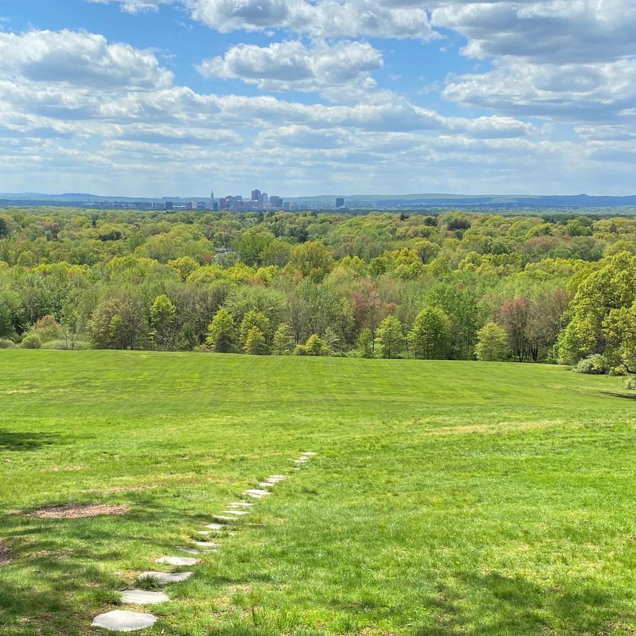
One of several trailheads for the Cheney Rail Trail. The path is built on an old railroad bed and runs for 2.5 miles through central Manchester. The surface is a mix of pavement and hard packed gravel, so if you have wider tires on your road bike and are looking for a bit more adventure, this is a good path to try.
0
0

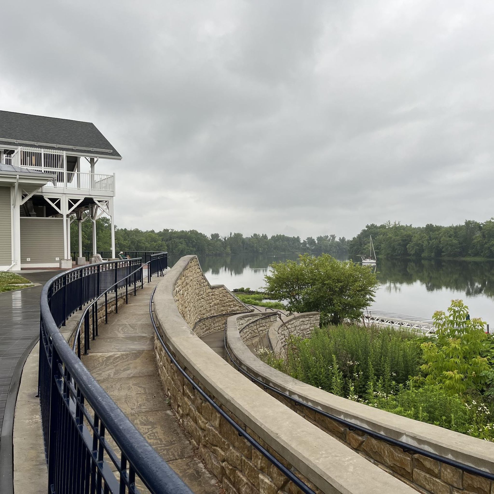
This portion of the Riverfront Trail runs along the Connecticut River and Crow Point Cove. Take one of the connecting trails to Glastonbury center or to one of the many nearby parks.
0
0

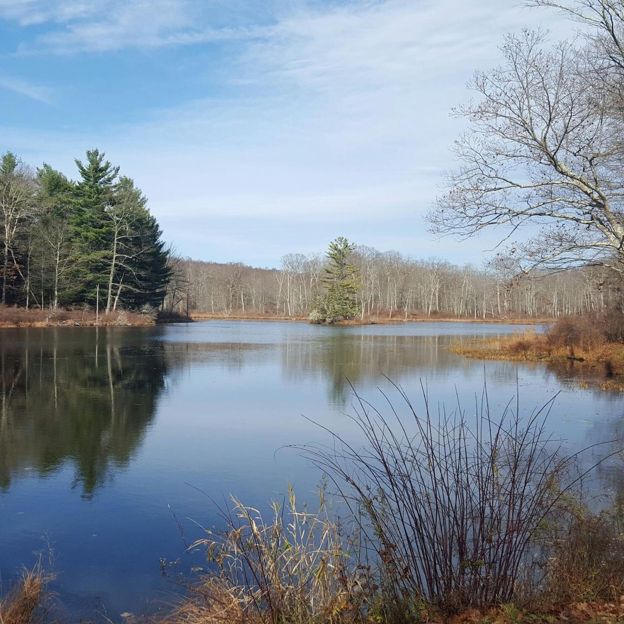
Quiet, picturesque paved bike trail along a brook, with a public restroom at Charter Oak Park
0
0
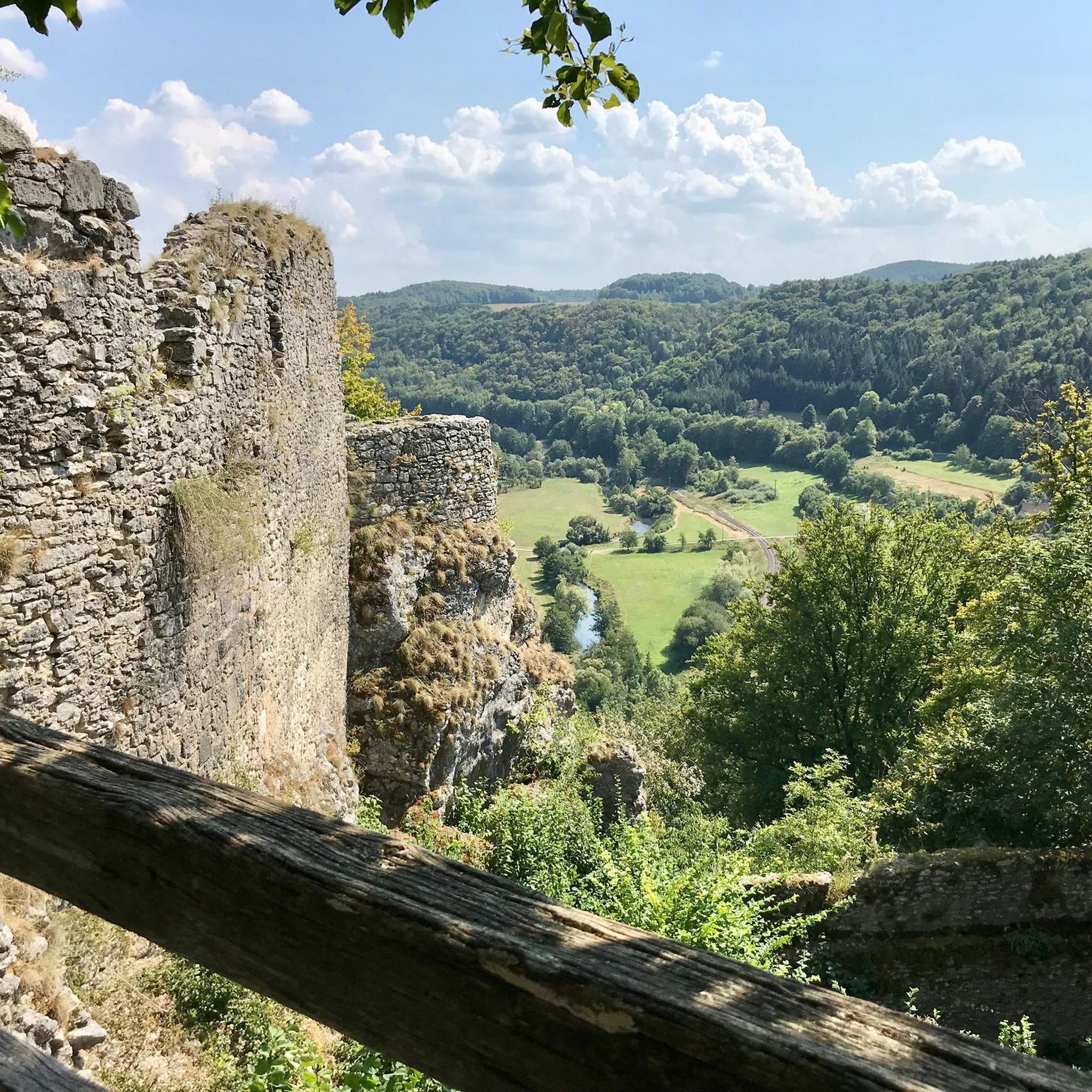
Adorable area that includes a bench/memorial/garden.
0
0

Very short, only about one mile, but a nice ride regardless. Paved parking at both ends.
0
0
Frequently Asked Questions
How many road cycling routes are available in Glastonbury Center?
Glastonbury Center offers a wide selection of road cycling routes, with over 90 routes available. These routes cater to various skill levels, including easy, moderate, and challenging options.
What makes road cycling in Glastonbury Center unique?
Road cycling in Glastonbury Center is unique due to its diverse landscapes. You'll find a mix of flat riverfront paths along the Connecticut River, rolling hills, and routes that weave through historic districts and natural preserves. The town's commitment to cycling, including its 'Bicycle Master Plan,' ensures a variety of well-maintained and scenic options.
What do other road cyclists say about the routes in Glastonbury Center?
The road cycling routes in Glastonbury Center are highly rated by the komoot community, with an average score of 4.3 stars. Cyclists often praise the varied terrain, from peaceful greenways to more challenging climbs, and the scenic views along the Connecticut River and through historic areas.
Are there easy road cycling routes suitable for beginners in Glastonbury Center?
Yes, Glastonbury Center has many easy road cycling routes perfect for beginners. For instance, the Charter Oak Greenway Loop is an easy 22.9-mile path that provides a scenic ride, likely on paved greenway sections, making it ideal for those new to road cycling or looking for a relaxed ride.
Where can I find more challenging road cycling routes around Glastonbury Center?
For more challenging road cycling experiences, Glastonbury Center offers routes with significant elevation gain. An example is the Dogwood Pond – Hurd State Park loop from Rocky Hill, which is a difficult 48-mile route featuring substantial climbs and descents, perfect for experienced cyclists seeking a rigorous workout.
Are there any loop road cycling routes in Glastonbury Center?
Yes, many road cycling routes in Glastonbury Center are designed as loops, offering convenient starting and ending points. The Glastonbury to Gay City State Park loop is a popular moderate 27-mile option that connects Glastonbury with a state park, providing varied terrain in a circular format.
Are there road cycling routes that pass by scenic viewpoints or natural features?
Absolutely. Many routes offer scenic views, particularly along the Connecticut River. You can also find routes that pass by natural features like the Blackledge Falls. The region's diverse landscape ensures plenty of picturesque spots to enjoy during your ride.
Can I find road cycling routes that explore historic areas?
Yes, Glastonbury Center's road cycling routes often weave through historic districts. Routes like 'Carol's 'Down to the River' Ride' (mentioned in regional research) take cyclists through Glastonbury, Rocky Hill, and Old Wethersfield, offering opportunities to explore historic areas and enjoy scenic views of the Connecticut River.
What natural preserves can I explore by road bike in Glastonbury Center?
While some preserves are primarily for hiking, certain areas offer road bike access or routes nearby. The Addison Bog & Woodlands Greenway features trails with some bike access. Additionally, routes like the T. & M. Old Maids Open Space – House Street Open Space loop from Shagbark Open Space lead through multiple open spaces, allowing you to experience the region's natural beauty.
What is the typical length and duration of road cycling routes in Glastonbury Center?
Road cycling routes in Glastonbury Center vary significantly in length and duration. You can find shorter rides, such as the Charter Oak Greenway Loop at 22.9 miles (36.9 km) taking about 1 hour 34 minutes, up to much longer excursions like the Dogwood Pond – Hurd State Park loop from Rocky Hill, which is 48 miles (77.2 km) and takes over 3 hours 44 minutes.
Is Glastonbury Center suitable for family-friendly road cycling?
Yes, Glastonbury Center offers options suitable for family-friendly road cycling, particularly on its flatter, paved greenway sections. The town's 'Bicycle Master Plan' includes both on-road and off-road bikeways, and routes like the Smith School Greenway provide paved, rolling trails through wooded areas that are great for families.
Are there any routes that incorporate unique experiences like a ferry crossing?
Yes, the regional research mentions routes like 'Carol's 'Down to the River' Ride' which includes a one-way ferry crossing. This offers a unique and memorable experience, combining your ride with a scenic journey across the Connecticut River.
Where can I find parking for road cycling routes in Glastonbury Center?
While specific parking locations for every route are not detailed, many road cycling routes in Glastonbury Center originate or pass through areas with public parking. Riverfront Park is a popular hub with parking facilities, and local parks or trailheads often provide designated parking areas for cyclists.
Most popular routes around Glastonbury Center
Most popular attractions around Glastonbury Center

Get inspired with the komoot mobile app


Explore more
Browse the best Road cycling routes in other regions.
