The best walks and hikes around Middletown
4.5
(46)
586
hikers
23
hikes
Hiking around Middletown, Connecticut, offers diverse landscapes characterized by rolling hills, dense woodlands, and significant geological features. The region includes several state parks and preserves, providing a network of trails that often lead to vista points and waterfalls. Elevations vary, with some routes including moderate uphill climbs.
Best hiking trails around Middletown
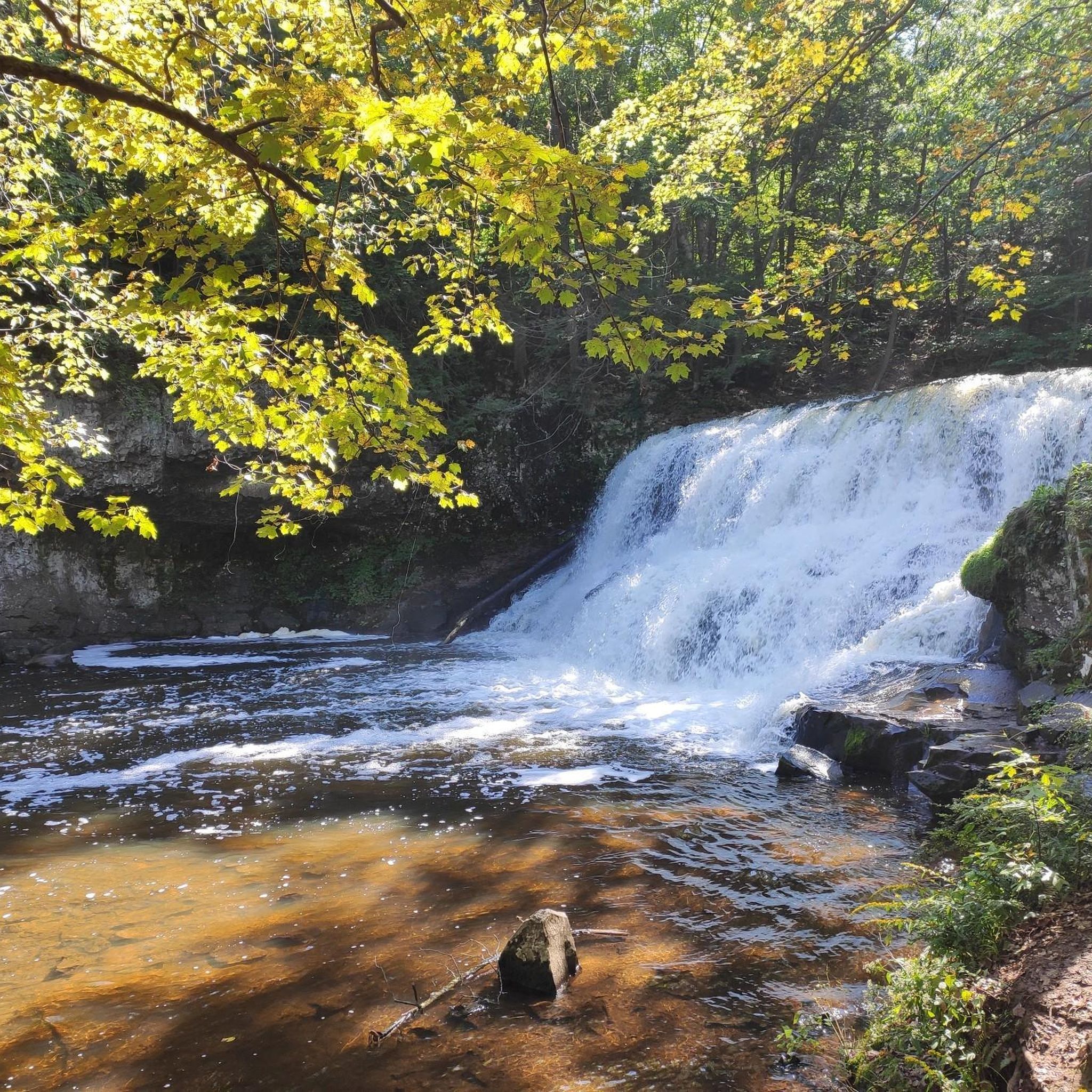
- The most popular hiking route is Wadsworth Falls via Main & Cedar Loop Trail, a 3.7 miles (5.9 km) trail that takes 1 hour 35 minutes to complete. This easy route explores the area around Wadsworth Falls.
- Another top favourite among local hikers is Mount Higby from Tynan Memorial Park, a moderate 5.3 miles (8.6 km) path. This trail ascends Mount Higby, offering views from its summit.
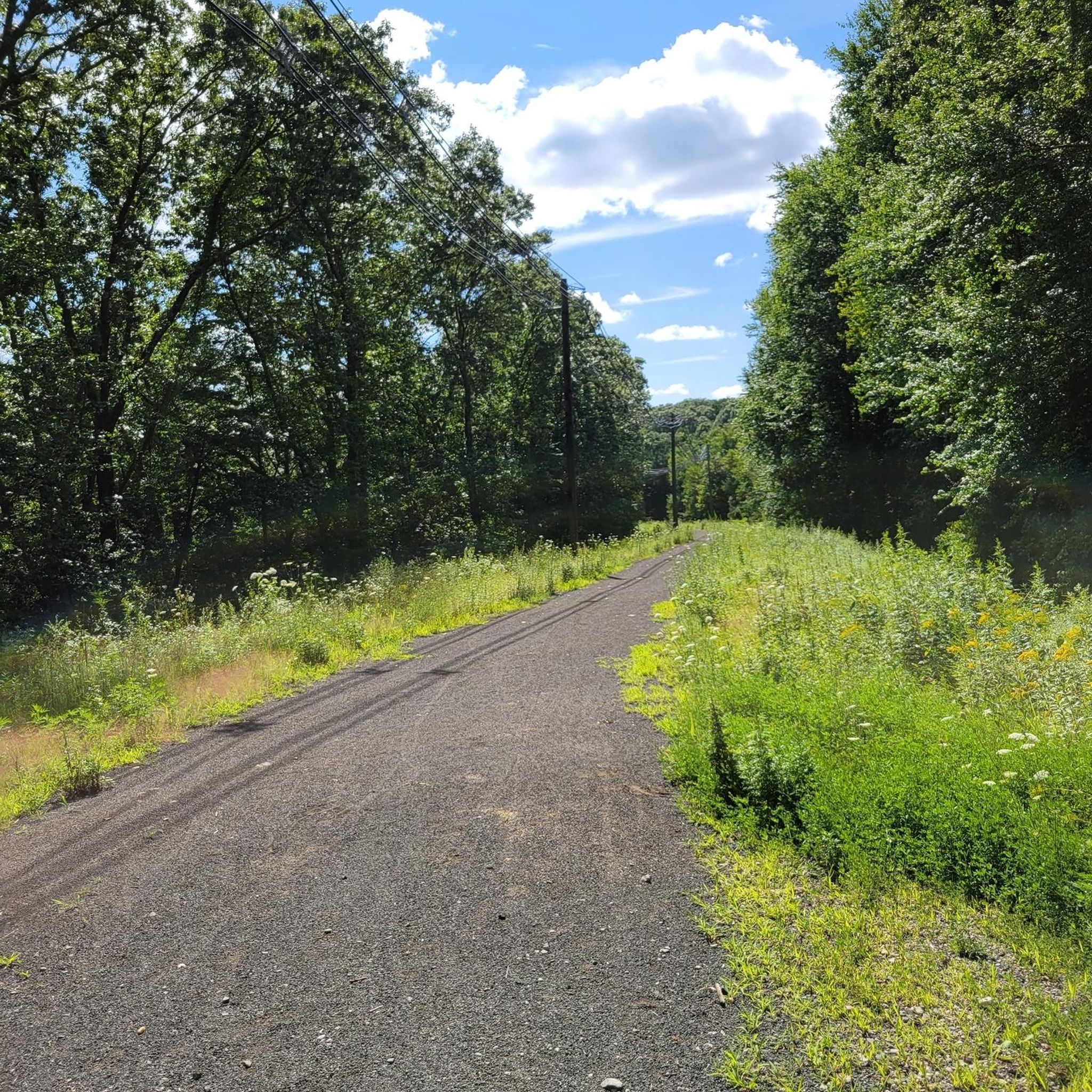
- Local hikers also love the Air Line State Park Trail, a 5.7 miles (9.2 km) trail leading through varied woodland and open sections, often completed in about 2 hours 24 minutes.
- Hiking around Middletown is defined by state park trails, forested paths, and routes featuring glacial boulders and hills. The network offers options for various ability levels.
- The routes in Middletown are highly rated by the komoot community with an average score of 4.5 stars from over 45 reviews. More than 500 hikers have used komoot to explore Middletown's varied terrain.
Last updated: September 27, 2026
8
hikers
4.06km
01:07
70m
50m
Herbert's Way Trail offers a delightful and easy hike through a tapestry of natural environments, from quiet second-growth forests and former farm fields to serene conifer plantations and red maple swamps. You'll find long stretches of planking over wet ground, making for a comfortable walk, and the former pine plantation is a visual highlight, especially when bathed in sunlight. This 2.5-mile (4.1 km) route, with its gentle 232 feet (71 metres) of elevation gain, is an accessible journey that takes about 1 hour and 6 minutes.
Planning your visit is straightforward, as the trail is well-maintained and clearly blazed by the CFPA, making navigation simple. There are no complex access requirements like permits or fees mentioned, and parking is generally available at the trailhead. For the most picturesque experience, aim to hike when the sun is low in the sky, casting a warm glow on the pine trees.
This trail is notable as a "demonstration forest" by the CFPA, showcasing exemplary trail construction and blazing techniques. Beyond the diverse ecosystems that support various wildlife, you'll also find an outdoor amphitheater, a pond, and a vernal pool with an observation platform. It's a protected property, donated to the CFPA, ensuring its natural beauty remains for future generations.
5.0
(1)
4
hikers
9.87km
02:46
240m
130m
The Mattabesett Trail: River Road to Bear Hill Road offers a genuinely rugged and scenic hiking experience through Middletown, Connecticut. This moderate 6.1-mile (9.9 km) hike, with its 788 feet (240 metres) of elevation gain, typically takes around 2 hours and 46 minutes to complete. Expect a journey over varied terrain, including packed earth, dirt, and significant rock formations, with challenging rock scrambles that require using both hands and feet. You'll pass by unique features like the "Chinese Wall" and traverse through hardwood forests and areas dense with mountain laurel, making for a diverse and engaging trek.
When planning your visit, be prepared for the trail's challenging nature. While specific parking information isn't always detailed, access points are generally available. It's crucial to consider seasonal conditions; colder months can bring ice sheets, making sections very difficult and potentially requiring specialized gear like spikes. For the most enjoyable experience, aim for spring, summer, or fall when the trail conditions are more forgiving and the natural beauty is in full display.
This segment is part of the much larger Mattabesett Trail, which itself is a component of the 235-mile New England National Scenic Trail. The area is renowned for its biodiversity and the rugged hiking opportunities along its traprock ridges. Beyond the physical challenge, the trail provides a chance to immerse yourself in a picturesque landscape of tumbled ledges, frequent brooks, and vernal pools, offering scenic views towards the Connecticut River and surrounding hills from various points.

2
hikers
2.72km
00:45
50m
50m
Embark on the Guida Farm Nature Trail, an easy hike that guides you through a pleasant mix of open fields and peaceful wooded sections. You will pass by two serene ponds and wind through areas dense with birch and cedar trees, observing mature trees draped in vines. This route covers 1.7 miles (2.7 km) with a gentle elevation gain of 155 feet (47 metres), making it a perfect outing that typically takes about 45 minutes to complete.
When planning your visit, remember that while the terrain is generally gentle, some parts of the trail can become muddy, so wearing appropriate footwear is a good idea. Parking is usually available at the trailhead, making access straightforward for a quick escape into nature. This trail is suitable for hikers of all skill levels looking for a relaxing outdoor experience.
The Guida Farm Nature Trail is nestled within the Guida Farm Conservation Area, a significant site known for its notable geology. As you hike, keep an eye out for visible sandstone conglomerates and unique rock formations that tell a story of the land's ancient past. This area holds historical importance as one of the first properties in Middletown to be preserved for public enjoyment, offering a glimpse into both natural beauty and conservation efforts.
1
hikers
17.3km
04:50
290m
420m
The Bear Hill Loop in Middletown, Connecticut, offers a dynamic hiking experience through dense woodlands, characterized by a mix of rocky ascents and descents, open face rock sections, and occasional muddy stretches. You'll traverse varied terrain, with the reward of seasonal highlights like blooming mountain laurel in June and ripening blueberries in late summer. A notable feature is a rock overcrop at 652 feet, providing splendid views over the Spiderweed Preserve, making it a perfect spot for a scenic break.
This moderate 10.7-mile (17.3 km) hiking trail, with 944 feet (288 metres) of elevation gain, typically takes around 4 hours and 50 minutes to complete. It's an ideal choice for hikers seeking a substantial day out with diverse natural features. Dogs are welcome on the trail, provided they are kept on a leash, and visiting during the shoulder seasons or early summer can enhance your experience with either clearer views or vibrant flora.
As a popular side trail off the longer Mattabesett Trail, the Bear Hill Loop offers excellent connectivity for those looking to extend their adventure or explore different loop options. Its zig-zagging nature allows for both shorter and longer excursions, making it adaptable to various fitness levels and time constraints. This trail provides a great opportunity to explore the natural beauty of the Lower Connecticut River Valley Planning Region.
1
hikers
5.70km
01:30
50m
50m
Embark on an easy 3.5-mile (5.7 km) hike along the Mattabesset Trolley Trail, a route that offers a pleasant mix of scenery. You will gain a modest 176 feet (54 metres) in elevation, making it a comfortable journey that typically takes about 1 hour and 30 minutes to complete. As you walk, you'll find yourself transitioning from peaceful wooded sections to areas with a greenway feel alongside Smith Street. The trail also follows the south bank of the Mattabessett River, providing occasional glimpses of the water and passing by West Lake. You'll even experience the unique blend of nature and urban infrastructure as you travel underneath I-91.
This easy route is particularly well-suited for families and beginners, thanks to its largely flat and paved surface. If you are looking for an outing that accommodates strollers or bikes, the gentle slopes and accessible terrain make it an excellent choice. Parking is generally available, making access straightforward for most visitors. Consider visiting during daylight hours to fully enjoy the varied surroundings and ensure a comfortable experience.
The Mattabesset Trolley Trail is a historic rail-trail, offering a glimpse into the region's past while providing a modern recreational path. Its design as a multi-use trail means you can enjoy it whether you prefer walking, jogging, or cycling. The route also connects to the Westlake Area Bikeway, providing an opportunity for extended exploration if you wish to continue your adventure beyond the main trail. This connection makes it a versatile option for various outdoor activities.
Get access to more routes and recommendations from other explorers.
Already have an account?
Our route recommendations are based on thousands of hikes, rides, and runs completed by other people on komoot.
Start today with a free account
Your next adventure awaits.

Tips from the Community

I'd love to visit, hike the trails, find the best viewpoints, and maybe even dig a little deeper into the background of how these reservoirs came to be. https://geometrydashmeltdown.io
0
0

This small hill sits along the Mattabesett Trail at only 652 ft high, with a rock overcrop that offers a splendid view above the Spiderweed Preserve. This can be a nice place to watch the sunset and have a picnic.
0
0

This is an overlook area for Asylum Reservoir #2 (the most popular and largest of the 3 reservoirs). The reservoirs were originally constructed to supply water to the mental hospital nearby, which is why they are named the way they are. There are a bunch of different spots to view the lake, and the trails on the property are marked really well.
0
0
Frequently Asked Questions
How many hiking trails are available around Middletown?
There are over 50 hiking routes around Middletown, offering a diverse range of experiences. You'll find options for various skill levels, from easy strolls to more challenging ascents.
Are there easy or beginner-friendly hikes in Middletown?
Yes, Middletown offers 25 easy hiking routes suitable for beginners or those looking for a relaxed walk. A great option is the Higby Mountain Easement, an easy 3.7 km trail that takes about 1 hour 8 minutes to complete.
Are there any challenging hikes near Middletown?
While most trails are easy to moderate, there are 2 routes classified as difficult. These typically involve more significant elevation changes or rugged terrain. For a moderate challenge, consider the Asylum Reservoir via Mattabesett Trail loop, a 12.8 km path with over 220 meters of elevation gain.
What kind of natural attractions can I see along the hiking trails?
Middletown's trails often lead to interesting natural features. You can discover waterfalls like Wadsworth Little Falls, enjoy scenic viewpoints such as View from West Peak or Higby Cliffs, and explore forests like the City of Meriden Watershed Reserve Land. Many paths also feature impressive glacial boulders.
Are there any loop trails around Middletown?
Yes, many trails in the area are designed as loops, offering varied scenery without retracing your steps. The Asylum Reservoir via Mattabesett Trail loop is a great example of a moderate loop trail through Cockaponset State Forest.
What do other hikers say about the trails in Middletown?
The hiking routes in Middletown are highly regarded by the komoot community, with an average rating of 4.5 stars from over 30 reviews. Hikers frequently praise the diverse landscapes, from dense woodlands to scenic vista points, and the well-maintained paths.
Are there family-friendly hiking options in Middletown?
Middletown offers several trails suitable for families. Many of the easy routes are perfect for outings with children. The region's state parks and preserves often have well-marked paths that are not overly strenuous, allowing for an enjoyable experience for all ages.
Are dogs allowed on the hiking trails in Middletown?
Many trails in the Middletown area are dog-friendly, especially those within state parks and preserves. It's always recommended to keep dogs on a leash and to check specific park regulations before heading out to ensure a pleasant experience for everyone.
What is the best time of year to hike in Middletown?
The best time to hike in Middletown is generally during spring, summer, and fall. Spring brings blooming wildflowers, while autumn offers vibrant foliage. Summer is also popular, though some sections can be muddy after rain. Winter hiking is possible, but trails may be icy or snow-covered, requiring appropriate gear.
Are there trails with good views in Middletown?
Absolutely. Several trails in Middletown lead to excellent vista points. For example, the Mount Higby from Tynan Memorial Park trail ascends Mount Higby, offering rewarding views from its summit. Other highlights like View from West Peak also provide panoramic scenery.
Is public transport available to reach hiking trailheads in Middletown?
While specific public transport routes directly to all trailheads may be limited, Middletown has a local bus service that can provide access to certain areas or within reasonable walking distance of some parks and preserves. Planning ahead with local transit schedules is advisable.
Where can I find parking for hiking trails in Middletown?
Most state parks and preserves in the Middletown area, such as Wadsworth Falls State Park or Tynan Memorial Park, offer designated parking areas for hikers. It's generally recommended to arrive early during peak seasons to secure a spot.
Most popular routes around Middletown
Most popular attractions around Middletown

Get inspired with the komoot mobile app


Explore more
Browse the best Hikes in other regions.
