The best road cycling routes around West Pleasant View
4.6
(147)
8,821
riders
176
rides
Road cycling routes around West Pleasant View primarily feature a network of trails along waterways and through urban parks, offering diverse terrain for cyclists. The area includes access to natural spaces like South Table Mountain Park, which provides varied trails, and Westblade Park with its natural ponds. Cyclists can expect routes that combine paved paths along creeks with sections offering views of the surrounding landscape and some elevation changes, particularly towards areas like Red Rocks Park. The region's geography is…
Last updated: September 30, 2026
3.3
(3)
159
riders
47.3km
02:07
400m
400m
Moderate road ride. Good fitness required. Mostly well-paved surfaces and easy to ride.
5.0
(1)
84
riders
46.3km
02:28
470m
470m
Moderate road ride. Good fitness required. Mostly well-paved surfaces and easy to ride.

3.0
(1)
76
riders
70.4km
03:27
450m
450m
Moderate road ride. Good fitness required. Mostly well-paved surfaces and easy to ride.
28
riders
105km
05:43
1,830m
1,830m
Hard road ride. Very good fitness required. Some segments of this route may be unpaved and difficult to ride.
3.0
(1)
11
riders
42.9km
02:07
340m
340m
Moderate road ride. Good fitness required. Mostly well-paved surfaces and easy to ride.
Get access to more routes and recommendations from other explorers.
Already have an account?
Our route recommendations are based on thousands of hikes, rides, and runs completed by other people on komoot.
Start today with a free account
Your next adventure awaits.



Tips from the Community

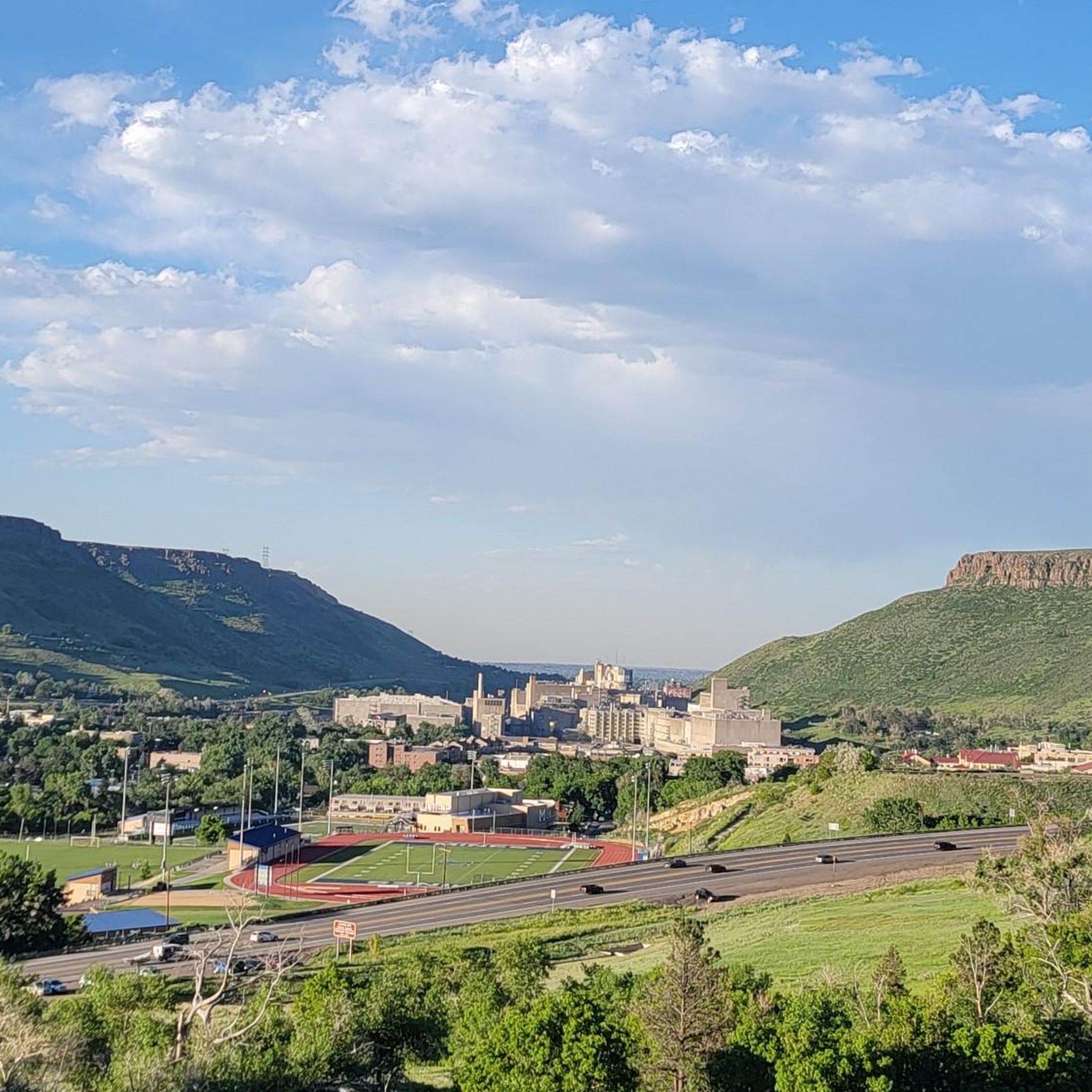
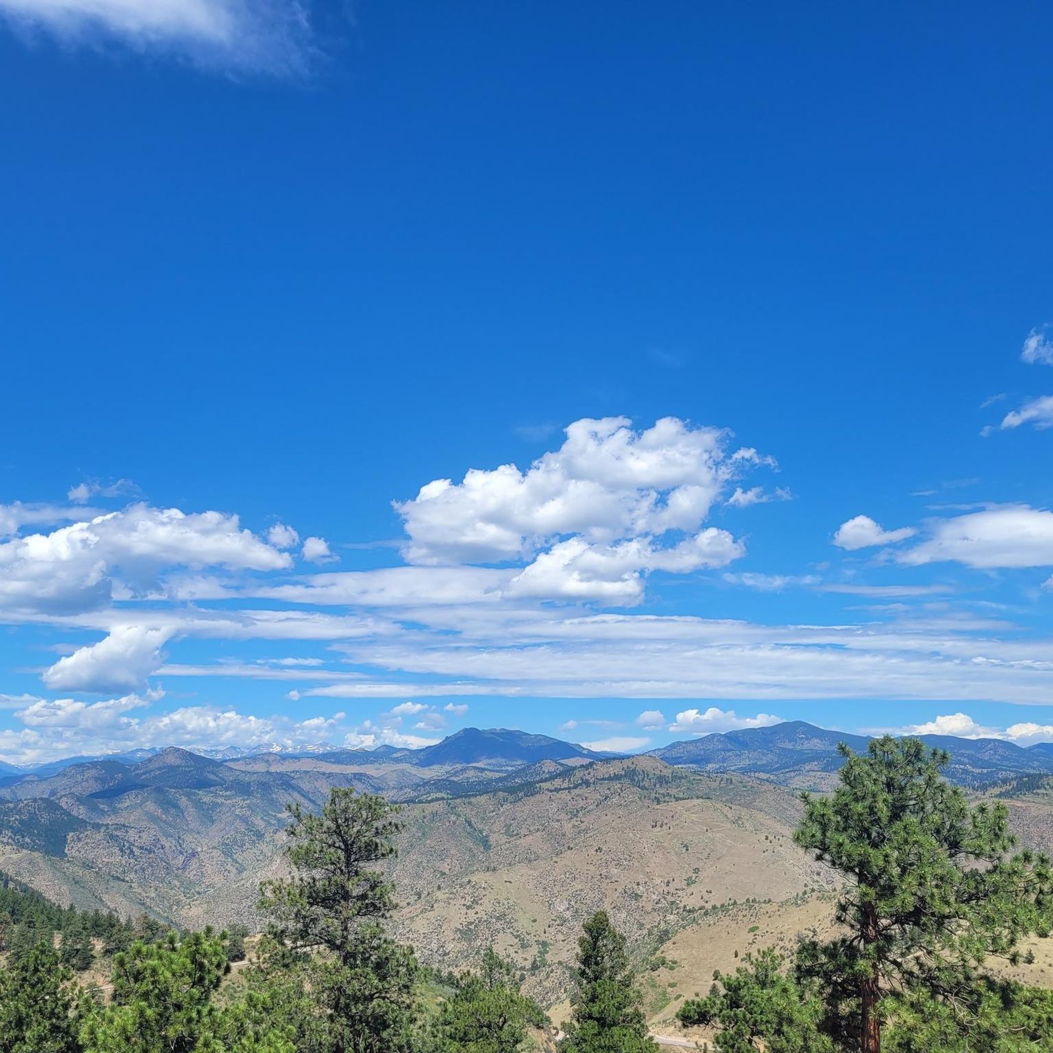
This is a nice overlook near Mt. Carbon, with expansive views of the Denver skyline, Bear Lake Park, and Mount Falcon Park in the background. Bear Creek Trail ends here, making it a great spot to pause, sit for a bit, and enjoy the views.
0
0

Empower Field at Mile High, often called Mile High Stadium, is Denver’s iconic sports venue and home to the NFL’s Denver Broncos. Located near downtown, the stadium sits 5,280 feet above sea level, giving it its name. Opened in 2001, it replaced the original Mile High Stadium and can accommodate over 76,000 fans. The stadium hosts football games, concerts, and other large-scale events and features panoramic views of Denver and the Rocky Mountains. Outside, the "Bucky the Bronco" statue symbolizes the team and its history.
1
0

This is the largest lake in Denver, and the second-biggest park in the city; it's named after the man who accidentally created it by digging for a well. He struck an aquifer that flooded the land, and voila — a lake was born. There's a lot to do here: You can bike, run, walk,play tennis, explore the playgrounds, try out the water on a stand-up paddleboard, and a whole lot more.
0
0


Confluence Park is located at the confluence of Cherry Creek and the South Platte River. It is located on both sides of Cherry Creek.
1
0

This lake features a pleasant beach area that provides stunning views of the mountains in the background of the water. You'll witness various water activities in the area and even have the option to rent equipment like paddleboards.
0
0

Red Rocks Park is a scenic road that is intertwined between massive sandstone outcroppings with numerous overlooks. There is also a trading post located in the park that provides gifts and a quick snack.
0
0
There is a rest stop for cyclists here with shade, restrooms, and picnic tables. There is a local lady who stocks a cooler with drinks and snacks that cyclists can help themselves to and they take donations to be able to continue this for everyone.
0
0
Frequently Asked Questions
How many road cycling routes are available in West Pleasant View?
West Pleasant View offers a wide selection of road cycling routes, with over 150 tours available. These routes cater to various skill levels, including 41 easy, 75 moderate, and 38 difficult options.
What types of terrain can I expect on road cycling routes in West Pleasant View?
Road cycling in West Pleasant View features a diverse mix of urban trails, dedicated creek paths, and access to natural parks. You'll find routes that combine flat, paved sections with moderate elevation changes, particularly towards areas like Red Rocks Park. The region's geography blends developed areas with accessible natural features, offering varied cycling experiences.
Are there any challenging road cycling routes with significant climbs?
Yes, for those seeking a challenge, West Pleasant View offers routes with notable elevation gains. The Red Rocks Park and Mt. Carbon Outlook loop, for example, is a difficult 65.4-mile route with over 5,990 feet of ascent, providing a demanding ride with rewarding views.
Which routes are suitable for a moderate-level road cyclist?
Many routes in West Pleasant View are ideal for moderate-level cyclists. The Mile High Stadium and Cherry Creek Trail is a popular 29.4-mile option following the scenic Cherry Creek Trail. Another excellent choice is the Bear Creek and C-470 Trail Loop, a 28.8-mile path offering diverse scenery including mountain views and tree-lined creek paths.
Can I find circular road cycling routes in the area?
Yes, West Pleasant View features several circular road cycling routes. The Clear Creek and South Platte River Trail Loop is a 43.7-mile circular route that takes you through river corridors and urban greenways. Another option is the Clear Creek Trail and Sloan's Lake Loop, a 26.7-mile loop offering a mix of trail and lake views.
What scenic viewpoints or natural attractions can I see along the routes?
Road cycling routes in West Pleasant View offer access to several scenic viewpoints and natural attractions. You can enjoy views of the Denver skyline from Sloan's Lake west shore or the Mt. Carbon Overlook. The area also features natural spaces like Westblade Park with its stocked ponds, and access to Bear Creek Lake and Big Soda Lake.
Are there any mountain peaks or summits visible from the cycling routes?
Yes, the region around West Pleasant View offers views of several mountain peaks. Cyclists can spot Lookout Mountain, known for its panoramic views, as well as Green Mountain Peak, Lichen Peak, Genesee Mountain Summit, and Mount Galbraith Summit, which contribute to the scenic backdrop of the area.
What do other road cyclists say about the routes in West Pleasant View?
The road cycling routes in West Pleasant View are highly regarded by the komoot community, holding an impressive average rating of 4.6 stars from over 110 reviews. Cyclists frequently praise the varied terrain, which includes urban trails, creek paths, and park access, offering options for different ability levels.
Is West Pleasant View suitable for year-round road cycling?
While specific year-round conditions for West Pleasant View, Colorado, are not detailed, other 'Pleasant View' locations with temperate climates, such as the Western Valley Scenic Bikeway in Oregon, suggest that such areas can be suitable for cycling for much of the year. It's always advisable to check local weather conditions before planning your ride, especially during winter months.
Are there opportunities for family-friendly road cycling?
Yes, West Pleasant View offers options suitable for families. The network of urban trails and creek paths provides relatively flat and paved routes that are generally safer and more accessible for riders of all ages. Look for easy-rated routes, which make up 41 of the total tours, for a more relaxed family experience.
Where can I find parking for road cycling routes in West Pleasant View?
While specific parking locations are not detailed for every route, many urban parks and trailheads in West Pleasant View, such as those providing access to the Cherry Creek Trail or Bear Creek Lake Park, typically offer designated parking areas for visitors. It's recommended to check the starting points of individual routes for specific parking information.
Most popular routes around West Pleasant View
Most popular attractions around West Pleasant View

Get inspired with the komoot mobile app


Explore more
Browse the best Road cycling routes in other regions.
