The best walks and hikes around Pine Brook Hill
4.6
(444)
10,618
hikers
291
hikes
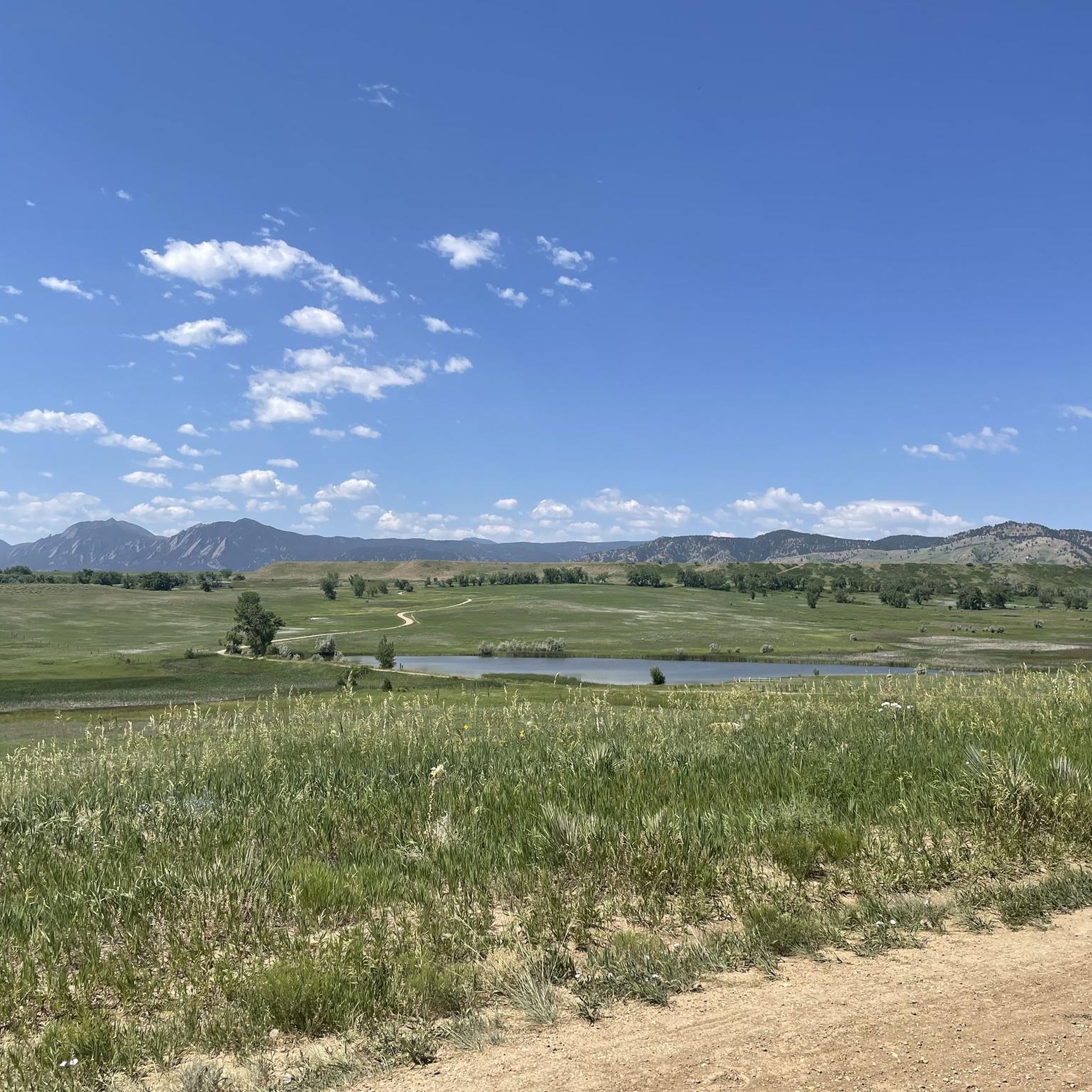
Hikes near Pine Brook Hill explore the mountainous terrain in the foothills west of Boulder, Colorado. The landscape is characterized by ponderosa pine forests, granite outcroppings, and canyons, with trails offering views that can stretch to the Continental Divide. The network of routes provides access to prominent local features including Mount Sanitas and Four Mile Canyon.
Best hiking trails around Pine Brook Hill
- The most popular hiking route is the Mount Sanitas Loop — Boulder Open Spaces & Mountains Parks…
Last updated: August 17, 2026
4.7
(13)
489
hikers
6.33km
02:34
440m
440m
Embark on the Mount Sanitas Loop for a rewarding hike that showcases Boulder's natural beauty. This route is known for its diverse and demanding terrain, featuring steep ascents and rocky…
10
hikers
3.87km
01:09
120m
120m
The Anemone Loop Trail offers an easy hiking experience through varied terrain, where you'll find standard paths alongside sections with newly installed flagstone steps. As you hike, you'll be treated…

Sign up for free
10
hikers
3.87km
01:09
120m
120m
Embark on the Red Rocks and Anemone Loop, an easy hike that winds through striking red sandstone formations. This route offers panoramic views of downtown Boulder, the University of Colorado…
1
hikers
1.45km
00:23
10m
10m
Embark on the North Boulder Park Trail for an easy hike through expansive lawns and manicured pathways. This short, accessible route covers just 0.9 miles (1.5 km) with a gentle…
4.5
(23)
331
hikers
7.02km
02:08
250m
250m
Hike the moderate Anemone Loop Trail in Boulder, Colorado, a 4.4-mile route with 815 feet of elevation gain and panoramic views.
Get access to more routes and recommendations from other explorers.
Sign up for free
Already have an account?
Our route recommendations are based on thousands of hikes, rides, and runs completed by other people on komoot.
Start today with a free account
Your next adventure awaits.
Login or Signup
Tips from the Community

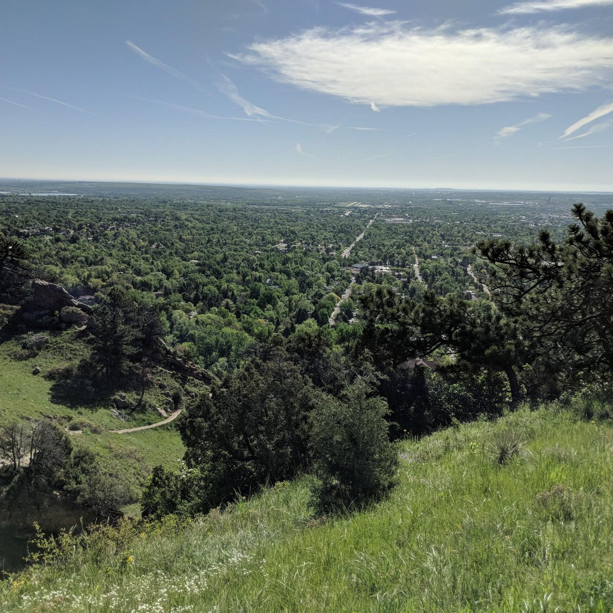
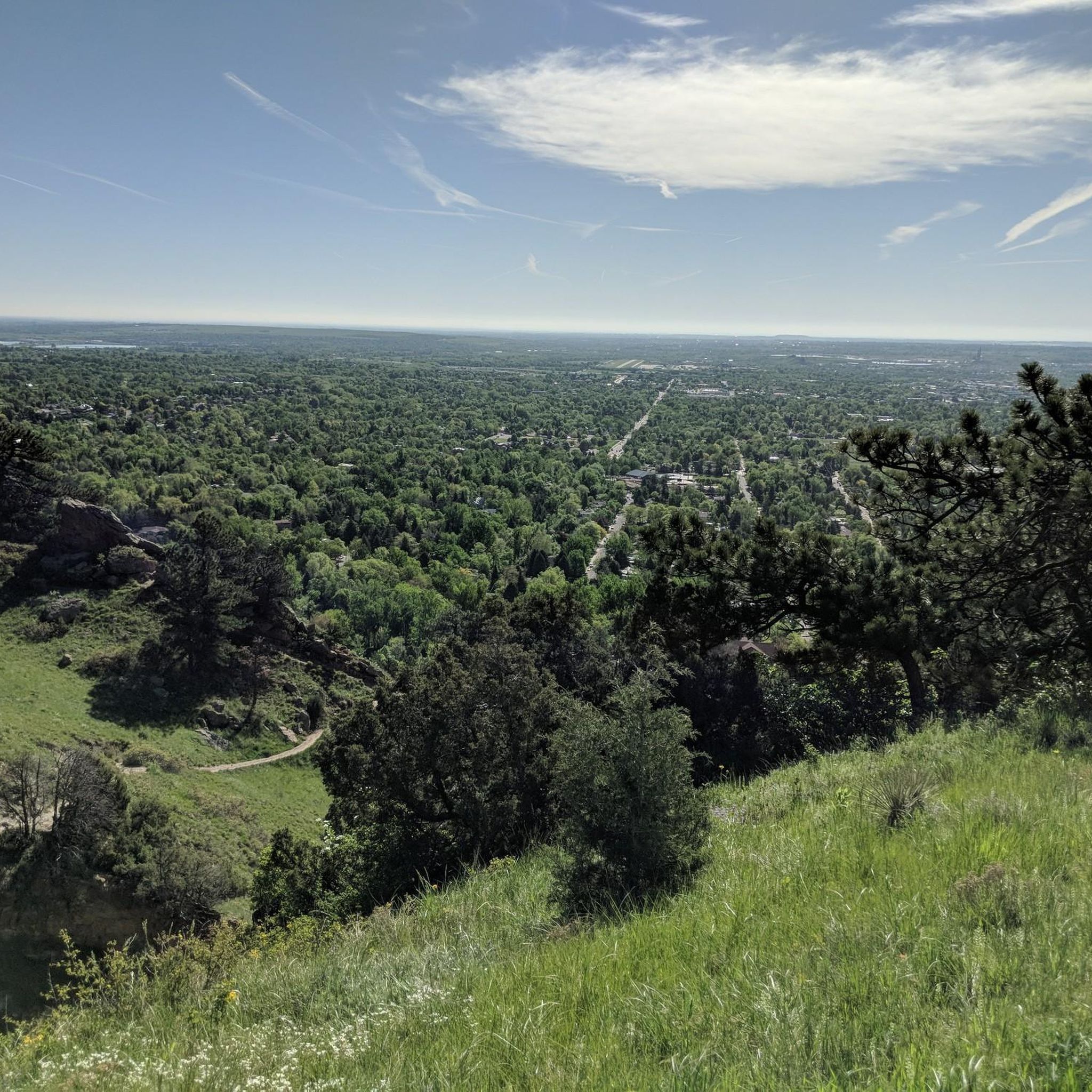
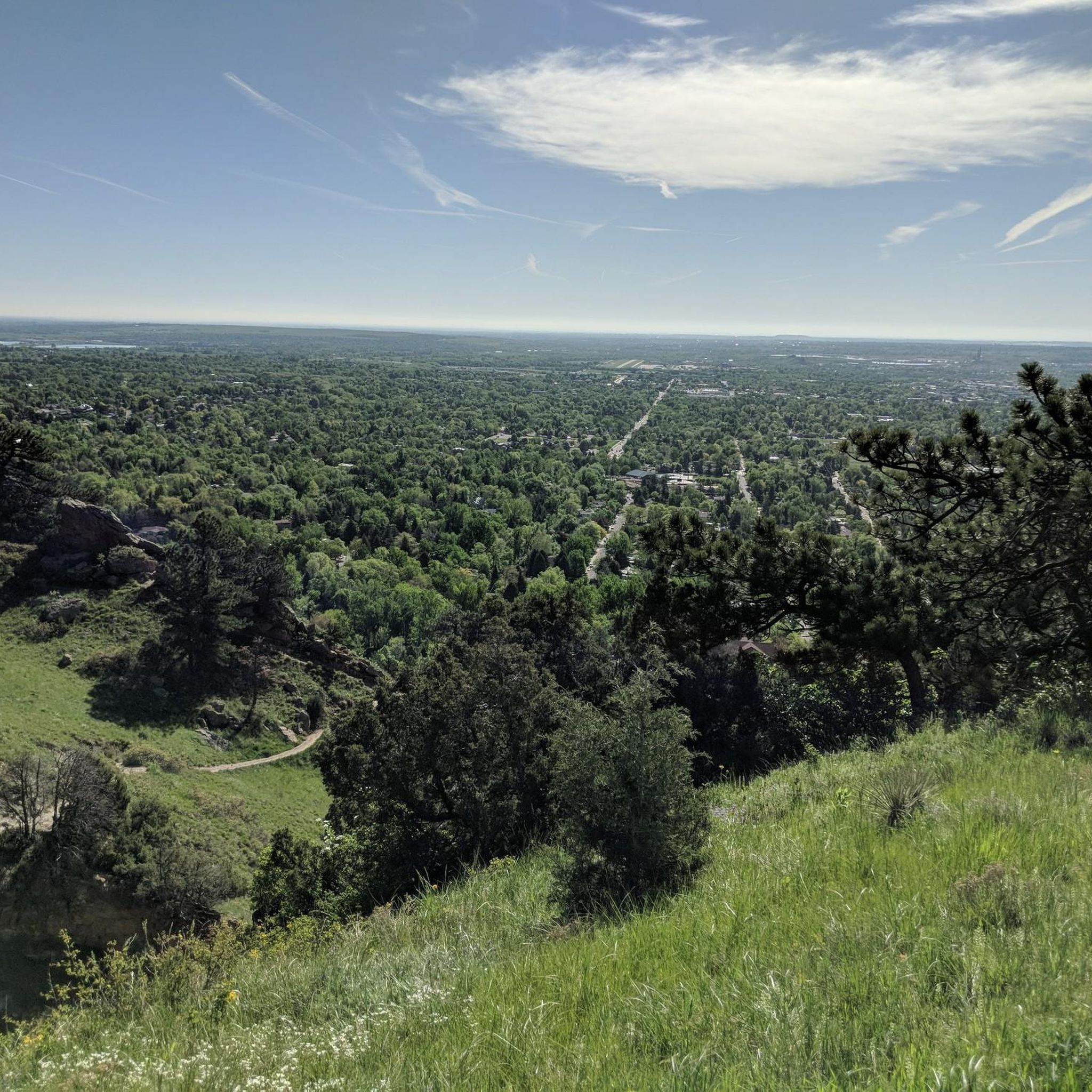
Anemone Point offers stunning views of downtown Boulder and Mount Sanitas, with a panoramic 360° lookout. The point is at an elevation of 6,310 feet. It's a popular spot, often busy with hikers, and is easy to spot during the climb as there is a short wooden fence at the viewpoint.
0
0

This big rock is a good place to stop on your short, steep climb from Boulder to the Mount Sanitas area. You can catch your breath as you enjoy the views from this great lookout point.
1
0

Starting point for various trails, in addition to the "Mount Sanitas Trail" also the "Mount Sanitas Valley Trail", where you can easily view the mountains from below. If you want to sweat a bit, you can turn off from there to the “Dakota Ridge Trail”.
0
0

Anemone Point, a highlight near Boulder, beckons runners with its captivating vistas. Opt for a counter-clockwise loop to descend the ridge into town, offering optimal views of Boulder. Sturdy shoes are a must, especially in snowy weather, ensuring you navigate the trail safely while reveling in the breathtaking scenery of this invigorating run.
0
0
Reflection Point along this route allows pause at the iconic Boulder viewpoint. Despite partially obstructed vistas, the outlook over the city remains breathtaking, perfect for reflecting on the path behind and ahead.
0
0

One of the most famous trails in downtown Boulder is known for its challenging terrain and easy accessibility, making it a popular choice amongst hikers in the region. To ensure a satisfying experience, it's crucial to begin your run early.
0
0
This section up or down Mount Sanitas gets very technical with lots of rock scrambles.
0
0
One of the most famous hiking trails in downtown Boulder is known for its challenging terrain and easy accessibility, making it a popular choice amongst hikers in the region. To ensure a satisfying experience, it's crucial to begin the hike early.
4
0
Frequently Asked Questions
Are there easy, family-friendly hikes near Pine Brook Hill?
Yes, the area offers several options suitable for families. The Anne U White Trail is a popular choice, following a creek through a scenic canyon with mild grades. Another great option is the Boulder Canyon Trail, which is a flat and wide gravel path along Boulder Creek, making it accessible for all ages.
Can I bring my dog on the trails around Pine Brook Hill?
Many trails in the Boulder area are dog-friendly, but rules vary. The Anne U. White Trail and Boulder Canyon Trail are both good options for hiking with dogs. Always check the specific regulations for the trail you plan to hike, as some areas may require leashes or have other restrictions to protect wildlife.
Are there any challenging hikes for a strenuous workout?
Definitely. For a tough climb, the Mount Sanitas Trail offers a significant elevation gain of over 1,100 feet (355 m) in just over 2.5 miles, providing a great physical challenge with rewarding views from the summit.
What are some good circular walks in the area?
There are several excellent loop hikes. The Anemone Loop Trail is a moderate 4.3-mile (7 km) circuit that provides great views over the Boulder valley. For a longer option, the Wonderland Hill Loop offers chances for wildlife spotting near the lake.
Which trails offer the best views over Boulder?
For panoramic views, trails that climb Mount Sanitas are excellent choices, offering a vantage point that overlooks the city lights and the plains beyond. The Viewpoint Trail to Panorama Point is another local favorite, providing sweeping vistas of the Boulder valley with a relatively gentle climb.
Are there any hikes with waterfalls or creeks?
Yes, the Anne U. White Trail is well-known for following Four Mile Canyon Creek. The path involves several creek crossings on stepping stones and leads to a secluded waterfall, making it a refreshing hike, especially in warmer months.
What is the terrain like on the trails?
The terrain varies. You'll find everything from gentle, wide gravel paths like the Boulder Canyon Trail to steep, rocky ascents on Mount Sanitas. Many trails wind through ponderosa pine forests with granite outcroppings. Some paths, like the Lion's Lair trail, are well-maintained and mostly shaded, while others can be more rugged and exposed.
What kind of wildlife might I see while hiking?
The foothills are rich in wildlife. It's not uncommon to see deer, foxes, and wild turkeys. While less common, be aware that the area is also home to larger animals like bears and mountain lions. It's important to be wildlife-aware, make noise while you hike, and never feed the animals.
How many hiking trails are there around Pine Brook Hill?
There is a large network of trails to explore, with over 200 routes mapped on komoot. These range from easy strolls to difficult mountain climbs, offering options for every skill level. About half of the trails are rated as easy, with the other half split between moderate and difficult.
What do other hikers enjoy about the Pine Brook Hill area?
The area is highly regarded by the komoot community, with an average rating of 4.7 stars. Hikers frequently praise the stunning views of the Continental Divide and the city of Boulder, the variety of trails, and the feeling of being secluded in nature while still being close to town.
Is parking available at the trailheads?
Parking is available at most major trailheads, such as those for Chautauqua Park and the Anne U. White Trail. However, these lots are often small and can fill up quickly, especially on weekends and holidays. It's always a good idea to arrive early or have a backup plan.
Can I access Mount Sanitas directly from the Pine Brook Hill neighborhood?
While Pine Brook Hill is close to Mount Sanitas, direct public access from within the neighborhood is limited. The main public trailheads, like the Lion's Lair trailhead on Sunshine Canyon Drive, are a short drive away and provide the primary access points for hiking the mountain.
Most popular attractions around Pine Brook Hill

Get inspired with the komoot mobile app


Explore more
Browse the best Hikes in other regions.
