The best road cycling routes around Loma
4.8
(9)
762
riders
13
rides
Road cycling routes around Loma offer diverse terrain, from flat stretches along river channels to challenging climbs with significant elevation gain. The region is characterized by its desert landscapes, unique geological formations, and proximity to the Colorado River. Cyclists can find routes that traverse open plains, pass by canyons, and offer views of the surrounding mesas. The area provides a variety of road cycling experiences, catering to different skill levels.
Best road cycling routes around Loma
- The most popular road…
Last updated: July 22, 2026
6
riders
127km
05:45
1,450m
1,460m
Hard road ride. Very good fitness required. Mostly well-paved surfaces and easy to ride.
36.4km
01:24
90m
90m
Easy road ride. Great for any fitness level. Mostly well-paved surfaces and easy to ride.

Sign up for free
4.8
(4)
194
riders
66.0km
03:30
1,070m
1,070m
Hard road ride. Very good fitness required. Mostly well-paved surfaces and easy to ride.
38
riders
76.5km
04:16
1,610m
1,610m
Hard road ride. Very good fitness required. Mostly well-paved surfaces and easy to ride.
27
riders
25.9km
01:20
90m
90m
Moderate road ride. Great for any fitness level. Some segments of this route may be unpaved and difficult to ride.
Get access to more routes and recommendations from other explorers.
Sign up for free
Already have an account?
Our route recommendations are based on thousands of hikes, rides, and runs completed by other people on komoot.
Start today with a free account
Your next adventure awaits.
Login or Signup
Tips from the Community


If you need a rental bike, OTE has you covered — great shop, even better people!
1
0

This is a great bike shop that will get you set up with whatever you need. Get a new bike, or just supplies for your current rig, the staff is also a great resource for the local area.
0
1

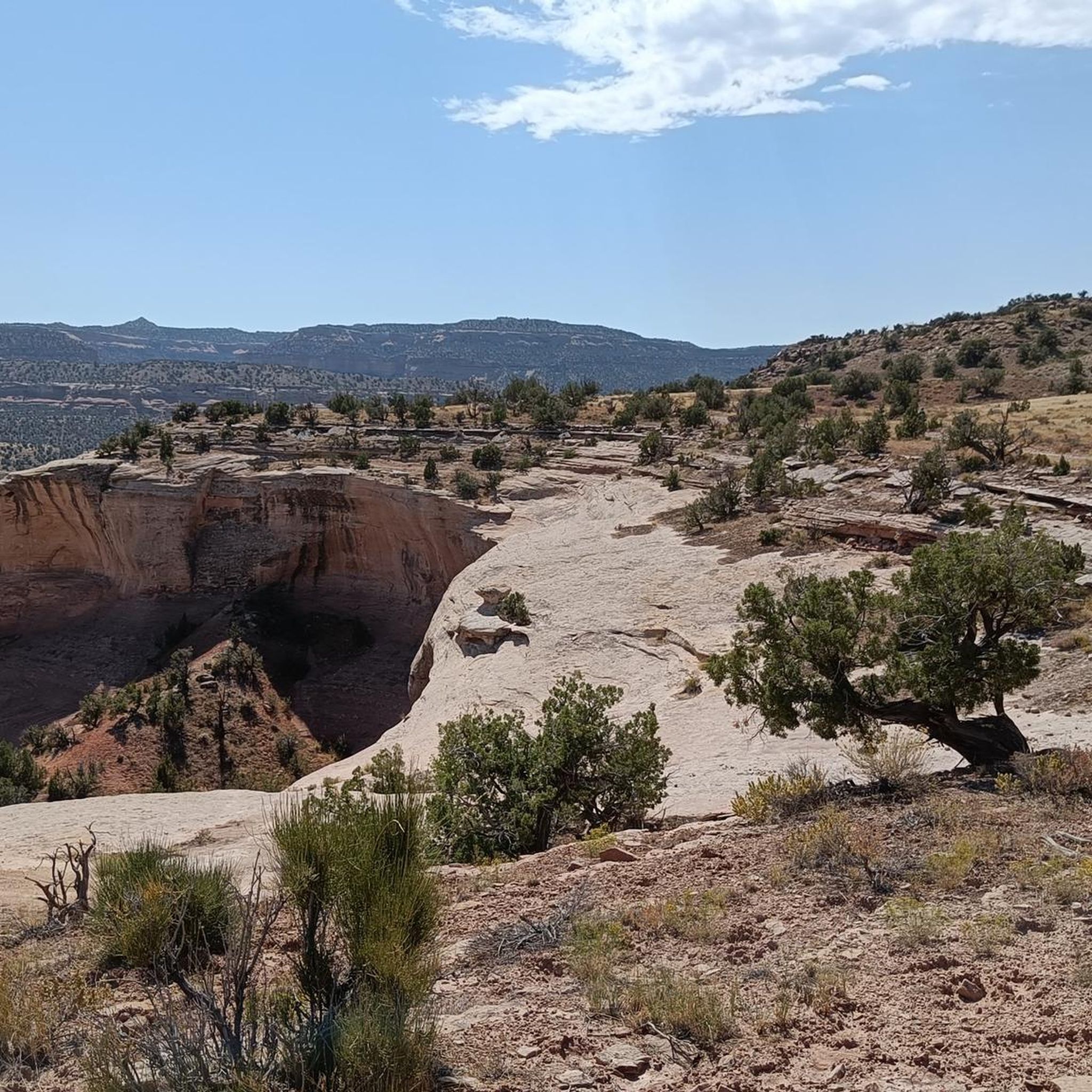
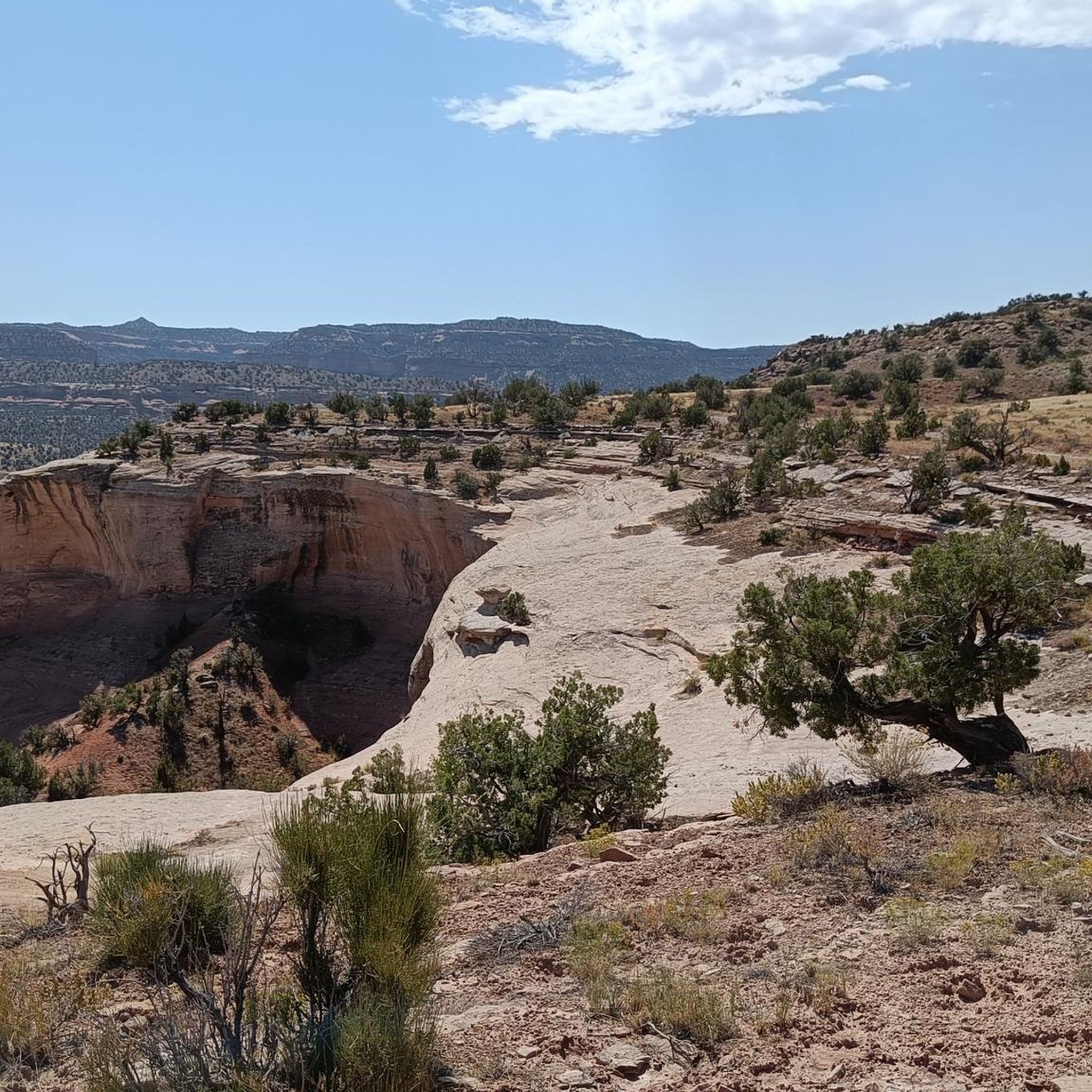
From the Upper Ute Canyon Overlook, you can overlook the 300ft cliffs composed of sandstones. The cliff is streaked with black desert varnish that give the lighter rocks that darker tone in areas.
0
0

Balanced Rock is an impressive sandstone boulder, dramatically perched on a slender rock pedestal. This is a fantastic vantage point, and the best time to view it is at sunrise, when the light highlights its precarious balance against the rugged canyon backdrop.
0
0
This overlook offers an incredible view of the picturesque red rock formations and steep canyon walls. From this vantage point, you can see Independence Monument, a towering spire shaped by erosion. Keep an eye out for bighorn sheep and golden eagles, which are often spotted from this fantastic spot.
0
0
The visitors centre has great cycling jerseys specific to the park.
0
0
Frequently Asked Questions
How many road cycling routes are available around Loma?
There are over 14 road cycling routes around Loma, offering a variety of experiences for different skill levels. These routes are highly rated by the komoot community, with an average score of 4.75 stars.
Are there easy road cycling routes for beginners in Loma?
Yes, Loma offers several easy road cycling routes suitable for beginners. For example, the Fruita to Highline Lake route is an easy 22.6-mile path with minimal elevation gain, providing a relatively flat ride with scenic views of Highline Lake.
What kind of terrain can I expect on road cycling routes in Loma?
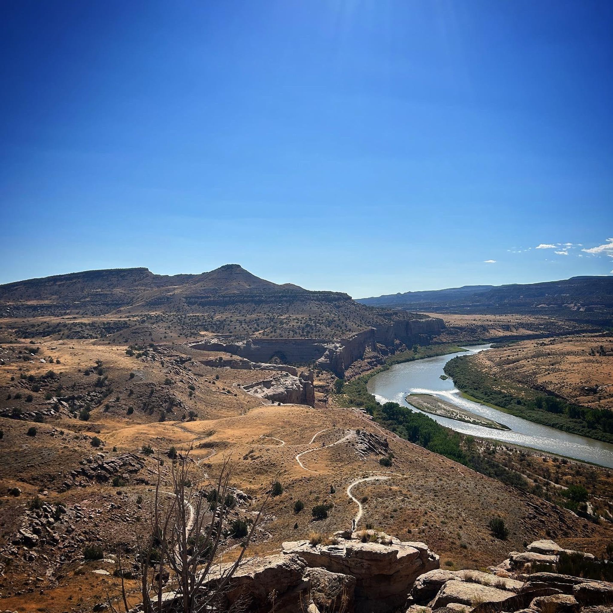
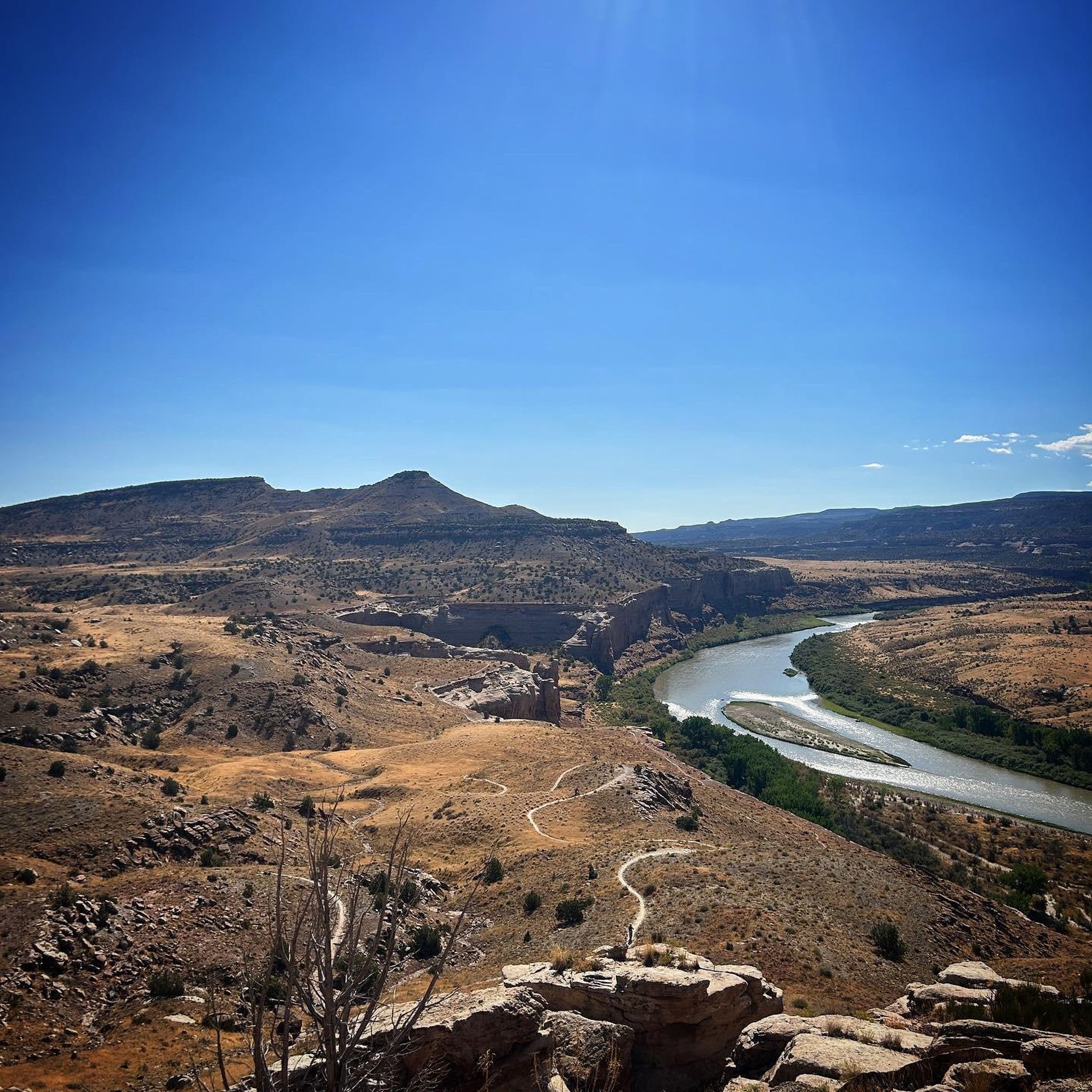
Road cycling routes around Loma feature diverse terrain, from flat stretches along river channels to challenging climbs with significant elevation gain. The region is characterized by its desert landscapes, unique geological formations, and proximity to the Colorado River, offering routes that traverse open plains and pass by canyons.
Are there challenging road cycling routes for experienced cyclists?
Absolutely. Experienced cyclists can find demanding routes with substantial elevation gain. A prime example is the Fruita to Douglas Pass route, a difficult 78.9-mile trail that takes nearly 6 hours to complete and features over 1,450 meters of ascent through varied terrain.
What are some scenic highlights or landmarks I can see along the road cycling routes?
Many routes offer stunning views of the desert landscape and unique geological formations. You can explore areas near Colorado National Monument Visitor Center, or pass by natural landmarks like Window Rock and View of Balanced Rock. The Rim Rock Drive within the Colorado National Monument is particularly scenic.
Are there any loop routes for road cycling in Loma?
Yes, Loma offers several loop routes. A popular option is the Least Tern Pond – Blue Heron Lake loop from Fruita, a 32.1-mile trail leading through open landscapes and past small bodies of water, typically completed in about 2 hours 25 minutes.
What do other road cyclists enjoy most about cycling in Loma?
The komoot community highly rates the road cycling experience in Loma, with an average score of 4.75 stars. Cyclists often praise the diverse terrain, from gentle rides with lake views to demanding climbs, and the unique desert landscapes that provide a distinct backdrop for their rides.
Are there routes that pass by lakes or water bodies?
Yes, some routes offer views of local water bodies. The Fruita to Highline Lake route provides views of Highline Lake, and the Least Tern Pond – Blue Heron Lake loop from Fruita passes by smaller bodies of water, offering a refreshing change of scenery.
Can I find routes that offer views of canyons or geological formations?
Loma is known for its stunning desert landscapes and geological features. Routes like Grand View – View of Balanced Rock loop from Fruita and Rim Rock Drive – View of Balanced Rock loop from Fruita will take you through areas with impressive canyon vistas and unique rock formations, particularly within the vicinity of the Colorado National Monument.
What is the best time of year for road cycling in Loma?
While specific seasonal advice isn't provided, the desert climate of Loma suggests that spring and fall generally offer the most pleasant temperatures for road cycling, avoiding the extreme heat of summer and potential winter conditions. Always check local weather forecasts before heading out.
Are there any routes that are particularly long for endurance training?
For endurance training, the Fruita to Douglas Pass route is an excellent choice. At nearly 79 miles with significant elevation gain, it provides a substantial challenge for experienced cyclists looking to push their limits.
Most popular routes around Loma
Most popular attractions around Loma

Get inspired with the komoot mobile app


Explore more
Browse the best Road cycling routes in other regions.
