The best walks and hikes around Hidden Lake
4.6
(52)
1,498
hikers
47
hikes
If you’ve ever tried planning a trip for hiking around Hidden Lake, you know how quickly the options can feel overwhelming. With so many trails to choose from, it’s tough to tell which routes are genuinely worth your time and effort. That’s where we come in. Our komoot community has explored, mapped, and reviewed countless routes here, so we’ve done the legwork to bring you a curated shortlist of the very best. Consider this your shortcut to finding the perfect Hidden Lake hiking location.
Hiking around Hidden Lake means immersing yourself in the Roosevelt National Forest, where the landscape is defined by the winding Saint Vrain creeks and trails that ascend into the Indian Peaks Wilderness. You’ll find everything from gentle riverside walks through forested valleys to more demanding climbs leading to stunning alpine lakes and mountain passes. It’s a diverse terrain that truly offers something for every fitness level.
If you only have time for one, we’d start with the popular Ceran St. Vrain Trail, an easy 3.7 miles (6.0 km) route that follows the creek through the forest — it’s a fantastic introduction to the area. For something a little more challenging with a rewarding gradual ascent, the Beaver Reservoir Cutoff Trail, at 2.0 miles (3.2 km), is a local favorite. With over 1,500 hikers having used komoot to explore this area, you can trust these recommendations. Now, go find your next adventure!
Last updated: May 28, 2026
2
hikers
26.3km
08:14
630m
660m
The South Saint Vrain Figure 8 Loop plunges you into an enchanting woodland adventure near Boulder, Colorado, winding through diverse lodgepole pine forests and open meadows. You'll hike alongside the gurgling waters of the Saint Vrain Creek, enjoying the sounds and possibly spotting small waterfalls, before connecting to the popular Brainard Lake area. This difficult 16.3-mile (26.3 km) hike, with its 2080 feet (634 metres) of elevation gain, is a full-day commitment, typically taking 8 hours and 14 minutes.
Planning your visit requires good preparation for this challenging route. The trail is generally accessible year-round, but be ready for winter conditions like snowshoeing or microspiking if you go during colder months. The area is rich in wildlife, so keep an eye out for moose and deer, and remember it's bear country; a bear bell is recommended. Ensure you have sturdy shoes for the chunky, old-school terrain.
This loop is part of a broader network of trails, including the Sourdough and Waldrop Trails, offering options for extended exploration. It provides true immersion in nature within the Roosevelt National Forest, making it a standout for experienced hikers seeking a demanding and scenic journey away from more crowded paths.
3.23km
01:12
180m
0m
The Beaver Reservoir Cutoff Trail offers a dynamic hiking experience, winding through varied terrain that includes woods, meadows, and small clearings. You'll navigate a singletrack path with numerous climbs and descents, enjoying views of the Indian Peaks Wilderness and the serene Beaver Reservoir. Look for wind-shaped "tortured" trees and seasonal wildflowers as you traverse this engaging route.
Planning your visit to the Beaver Reservoir Cutoff Trail means preparing for its moderate difficulty, which includes 596 feet (182 metres) of elevation gain over 2.0 miles (3.2 km), typically taking around 1 hour and 11 minutes. Be aware that early in the season, the trail can be snow-covered or have rocky and bumpy sections. Parking is available at the Beaver Reservoir and Trailhead, but it's always wise to arrive early, especially on busy days.
This trail is a crucial connector, linking the east end of Coney Creek Road to the Sourdough Trail, providing access to a broader network of trails within the Indian Peaks Wilderness. It's a popular spot for various activities, including mountain biking, trail running, and snowshoeing, and it's also dog-friendly. The varied terrain and connection to larger wilderness areas make it a notable route for exploring the Boulder County region.

Sign up for free
21.6km
06:11
470m
420m
The Buchanan Pass and Coney Creek Loop offers a challenging yet incredibly scenic hike through Colorado's Indian Peaks Wilderness. You'll traverse diverse alpine terrain, from shaded forests and wildflower meadows to rugged, rocky singletrack, with the highlight being the expansive views from Buchanan Pass itself. Expect to encounter cascading waterfalls, running creeks, and potentially wildlife like moose and elk on this difficult 13.5-mile (21.6 km) route, which involves 1543 feet (470 metres) of elevation gain and takes around 6 hours and 10 minutes to complete.
Planning your trip requires attention to detail; snow can persist on the passes until late July, and afternoon thunderstorms are common in summer, so always check the forecast. If you're considering an overnight stay, be aware that permits are mandatory for designated camping zones between June 1st and September 15th. Trailheads like Camp Dick and Coney Flats provide access to this demanding loop, so plan your parking and start time accordingly.
This loop is a significant part of the larger, classic Pawnee-Buchanan Loop, known for crossing the Continental Divide and showcasing the pristine beauty of the Indian Peaks Wilderness. It's a prime example of Colorado's high-alpine hiking, featuring a wide array of ecosystems and abundant water features like Timberline Falls. The trail is best suited for experienced hikers seeking a strenuous day trip or a segment of a longer backpacking adventure.
11.6km
04:38
910m
50m
The Beaver Creek Trail to Sawtooth Mountain offers a classic Indian Peaks summit hike, leading you through diverse terrain from aspen groves and forests to expansive alpine tundra. You'll pass Beaver Reservoir and the Coney Flats Trailhead, with the landscape gradually opening up to reveal stunning views of the Indian Peaks as you climb towards the distinctively shaped Sawtooth Mountain.
This is a difficult and strenuous hike, covering 7.2 miles (11.6 km) with a significant 2979 feet (908 metres) of elevation gain, typically requiring about 4 hours and 37 minutes. The route involves following 4WD roads initially, then a broad path, and finally a steep ascent to the summit. Be prepared for challenging inclines and potentially snow-covered plank bridges if hiking in late spring.
Sawtooth Mountain is easily visible from the plains east of Boulder, making it a notable landmark. This challenging wilderness experience is best undertaken in late spring or early summer for a chance at solitude, though checking for snow conditions and any required Indian Peaks Wilderness day-use permits is always advisable.
5.0
(1)
70
hikers
6.03km
01:38
80m
80m
The Ceran St. Vrain Trail offers a serene journey through a lush, almost rainforest-like woodland, following the South Saint Vrain Creek for much of its length. You'll wander among towering pine, spruce, and aspen trees on a soft, undulating path, though be prepared for occasional rocky sections and narrow singletrack. This easy 3.7-mile (6.0 km) hike, with just 265 feet (81 metres) of elevation gain, takes about 1 hour and 37 minutes, making it a perfect family-friendly outing.
Planning your visit is straightforward, as the trailhead is easily accessible near Jamestown, Colorado. Dogs are welcome on the trail, and if you're looking to extend your stay, dispersed camping options are available beyond 200 feet from the trailhead and creek. While generally an easy route, be mindful that winter conditions can make sections slippery, so check conditions before you go.
Named after 19th-century fur trader Ceran St. Vrain, this trail is a tranquil escape recognized for its peaceful forestland and the soothing sounds of the creek. Keep an eye out for abundant wildflowers and potential moose sightings, always maintaining a respectful distance. For those seeking a more challenging adventure, a rough four-wheel drive road extends beyond the main trail to Miller Rock, rewarding hikers with stunning 360-degree panoramic views.
Get access to more routes and recommendations from other explorers.
Sign up for free
Already have an account?
Our route recommendations are based on thousands of hikes, rides, and runs completed by other people on komoot.
Start today with a free account
Your next adventure awaits.
Login or Signup
Tips from the Community


Brainard Lake is a beautiful alpine lake in the Indian Peaks Wilderness below the Continental Divide surrounded by subalpine forest. It is in the Brainard Lake Recreation Area, which during the summer season usually requires a reservation and a fee, but if you are on your bike you do not need to pay or reserve a time slot. Because of the area's high elevation, snow typically remains until late spring, even on the paved road to the lake.
0
0

From here you can run up to Red Deer, Coney Lake, or south to Audubon. You can run down Coney Flats Road, which is rocky and semi-technical. If you do there is a trail you can take to cut off some of the distance. Driving up to this trailhead is going to be difficult without a 4x4.
0
0
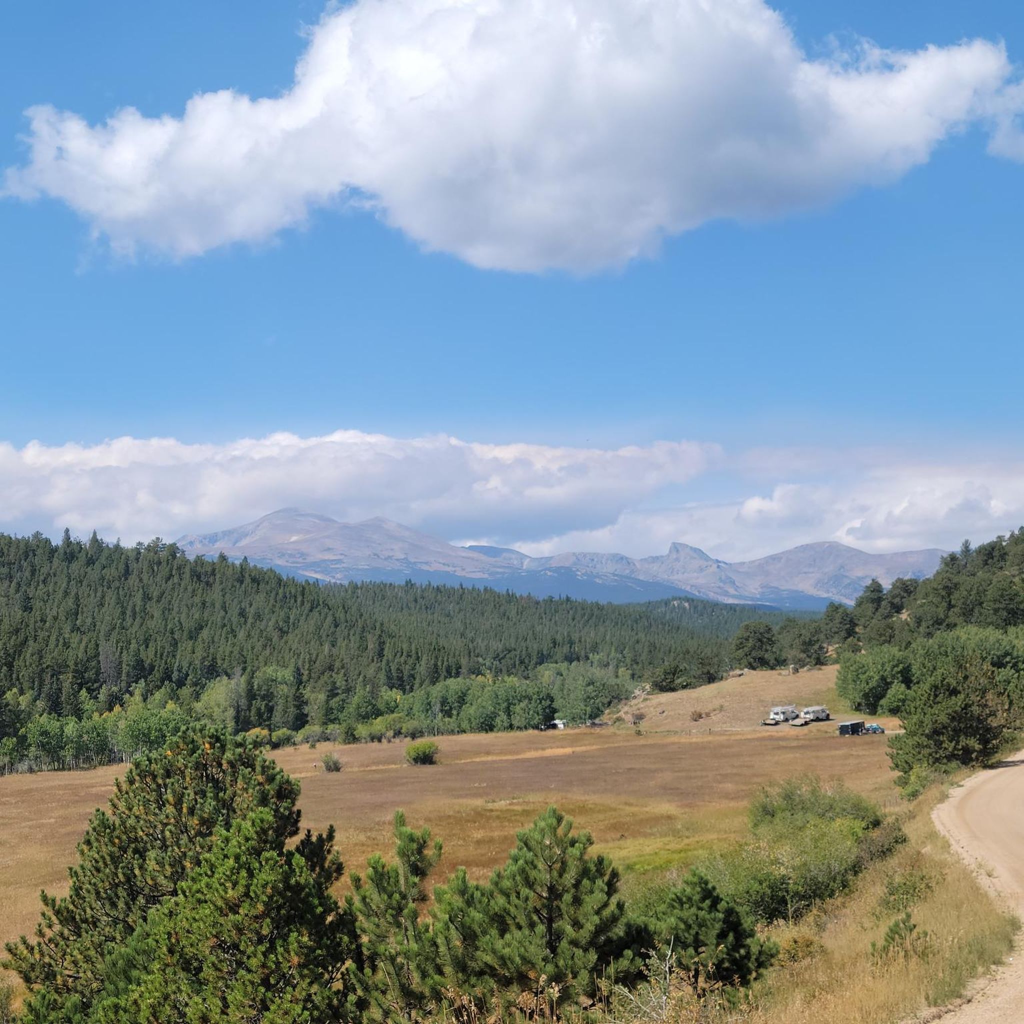
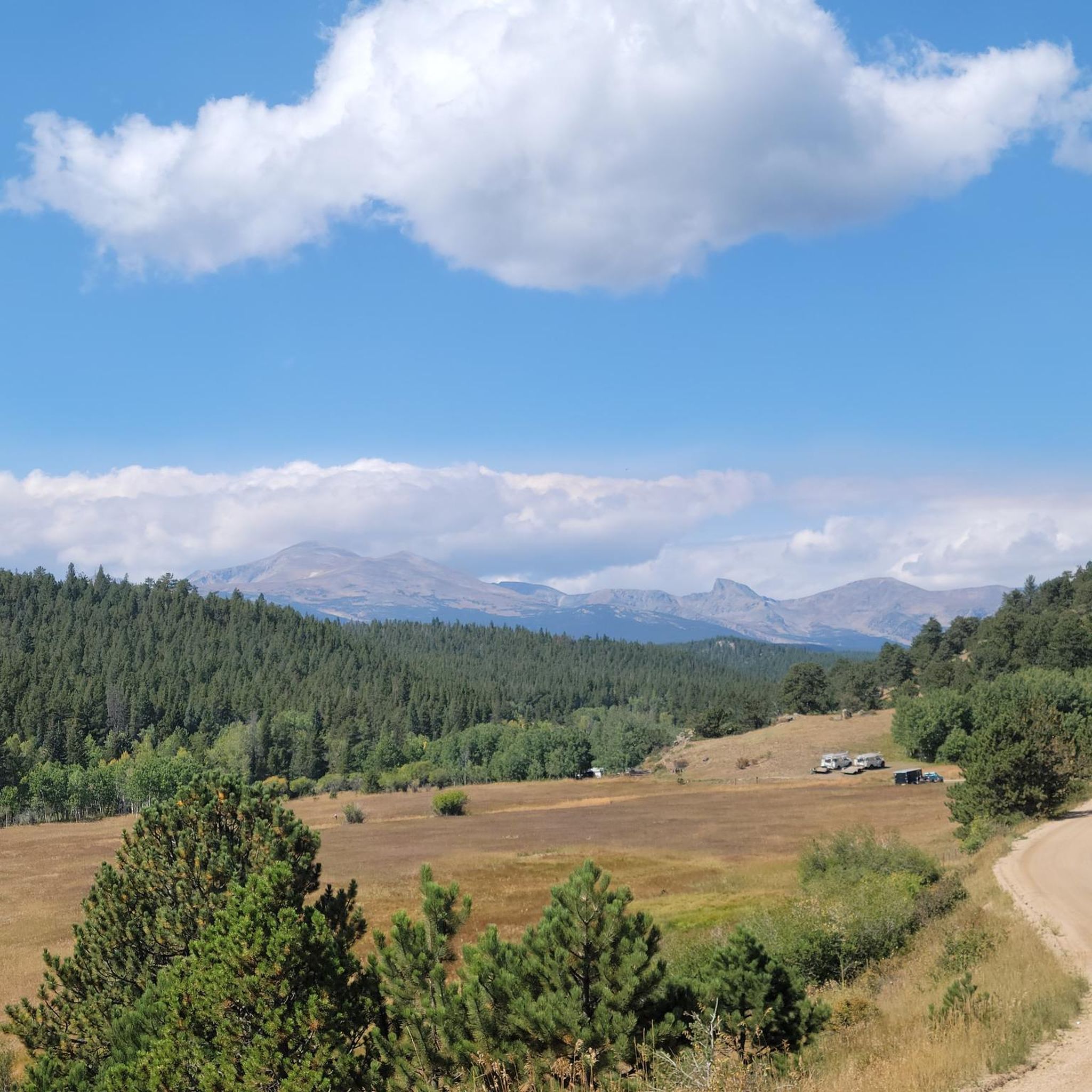
The road here is wide, flat-packed dirt and gravel. You get fantastic views of the mountains out across the reservoir.
0
0
Camp DIck has 41 different camping sites, each with a tent spot and bear box. There is water provided, but no electricity or showers. From here you have access to the fantastic trails leading up Buchanan Pass to the peaks. The Buchanan Pass Trail is long but not very steep. If you are looking for shorter trails, you can run up to Beaver Reservoir.
0
0
Brainard Lake is a beautiful alpine lake in the Indian Peaks Wilderness below the Continental Divide surrounded by subalpine forest. It is in the Brainard Lake Recreation Area, which during the summer season usually requires a reservation and a fee, but if you are on your bike you do not need to pay or reserve a time slot. Because of the area's high elevation, snow typically remains until late spring, even on the paved road to the lake.
1
0
After crossing an attractive wooden footbridge the Ceran Saint Vrain Trail heads north, following the South Saint Vrain Creek until it intersects with Miller Rock Road. The trail is relatively flat and easy, but there are a few places where there are rocks and roots on the trail. In the spring and summer, there are many beautiful wildflowers along the trail and by the creek.
0
0
Frequently Asked Questions
How many hiking trails are there around Hidden Lake?
You can explore over 30 hiking routes around Hidden Lake. The trails range from easy creekside walks to challenging ascents into the Indian Peaks Wilderness, offering options for all fitness levels.
Are there any easy, family-friendly hikes in the area?
Yes, there are several easier trails perfect for a family outing. A great option is the Ceran Saint Vrain Trail, which is a relatively flat walk that follows a creek through the forest, making it enjoyable for hikers of all ages.
What do other hikers think of the trails around Hidden Lake?
The trails in this region are highly rated by the komoot community, with an average score of 4.7 out of 5 stars. Hikers often praise the well-maintained paths that wind through the Roosevelt National Forest and along the scenic Saint Vrain creeks.
What is the best time of year to hike around Hidden Lake?
The best time for hiking is typically from late spring to early fall, when the trails are free of snow and the weather is milder. Summer brings lush greenery and wildflowers to the higher elevations, while autumn offers beautiful fall colors in the forest.
Are there any long-distance or challenging day hikes?
Yes, for those seeking a challenge, the Saint Vrain Mountain via the Buchanan Pass Trail is a demanding full-day hike. It covers over 15 miles and involves significant elevation gain, rewarding hikers with expansive views from the summit.
What kind of scenery and terrain should I expect?
The region is defined by its forested river valleys and ascents into the alpine environment of the Indian Peaks Wilderness. Expect trails that follow the Saint Vrain creeks, climb through dense woods, and open up to views of mountain passes and alpine reservoirs.
Can I find hikes that lead to a lake or reservoir?
Absolutely. The Buchanan Pass Trail to Green Lake Reservoir and Dam is a fantastic choice. This long trail takes you deep into the Arapaho-Roosevelt National Forest to the scenic Green Lake Reservoir.
What is a good moderate hike in the area?
For a moderately challenging hike, consider the Middle Saint Vrain Trail. It's a 7.4-mile (12 km) route with a gradual ascent of over 860 feet (263 m), offering a good workout without being overly strenuous.
What should I know about parking at the trailheads?
Parking can be limited, especially on weekends and during peak season. For popular trails like the Ceran Saint Vrain Trail, it's best to arrive early to secure a spot at the trailhead parking lot. Always park in designated areas to avoid fines.
What kind of wildlife might I see on the trails?
The Roosevelt National Forest is home to a variety of wildlife. While hiking, you might spot mule deer, elk, marmots, and various bird species. Remember to keep a safe distance and never feed wild animals.
Are there any loop trails available?
While many popular routes in the area are out-and-back trails that follow creeks and valleys, you can create loops by combining different segments of the trail network. Exploring the map on komoot will help you plan a circular route that fits your desired length and difficulty.
Do I need a pass or permit to hike here?
Some areas within the Arapaho and Roosevelt National Forests, particularly the Indian Peaks Wilderness, may require a fee or permit for day use or overnight camping. It's always a good idea to check the latest regulations with the U.S. Forest Service before you go.
Most popular attractions around Hidden Lake

Get inspired with the komoot mobile app


Explore more
Browse the best Hikes in other regions.
