The best road cycling routes around Allenspark
67
riders
5
rides
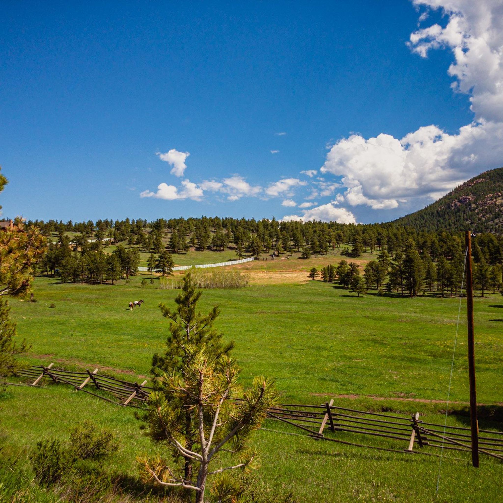
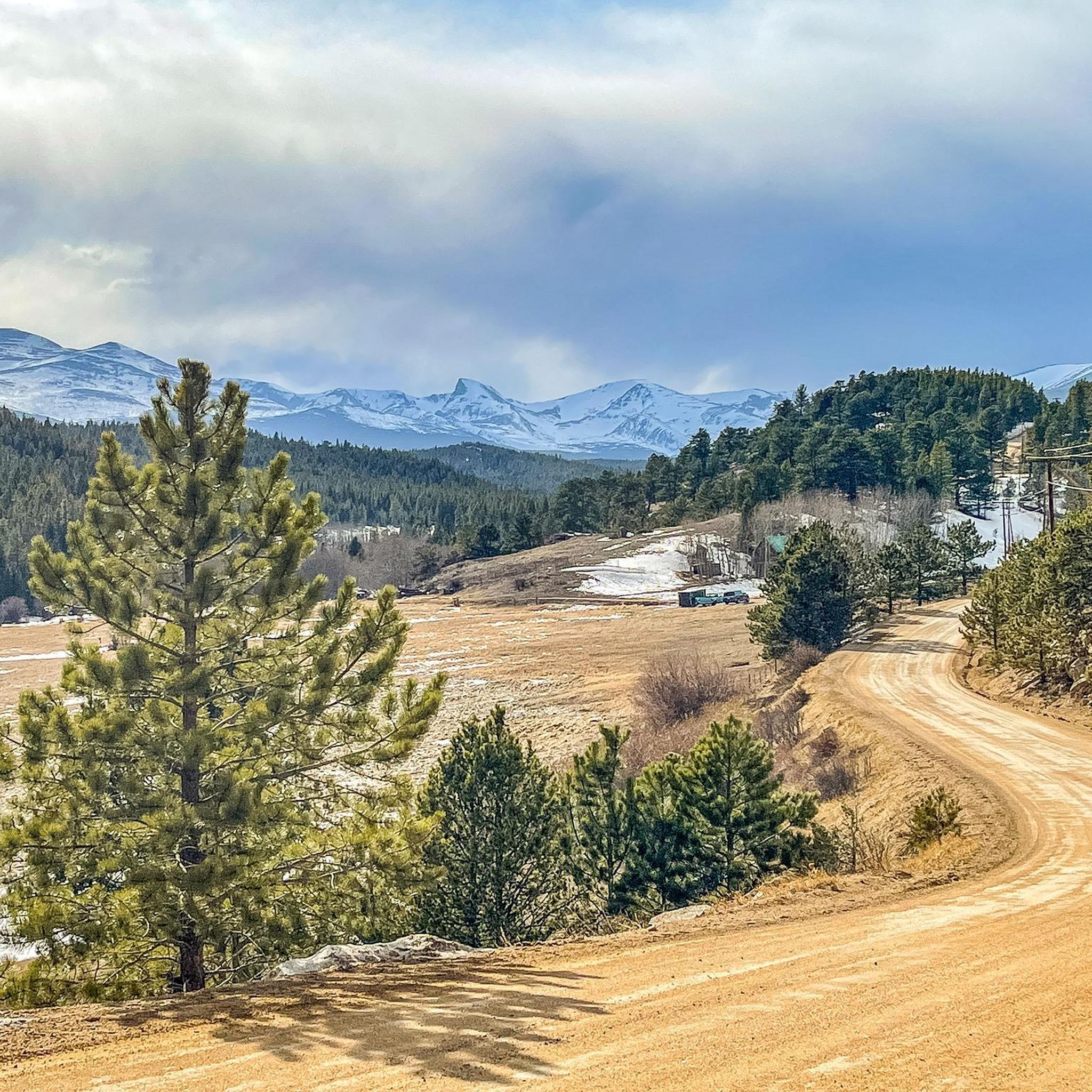
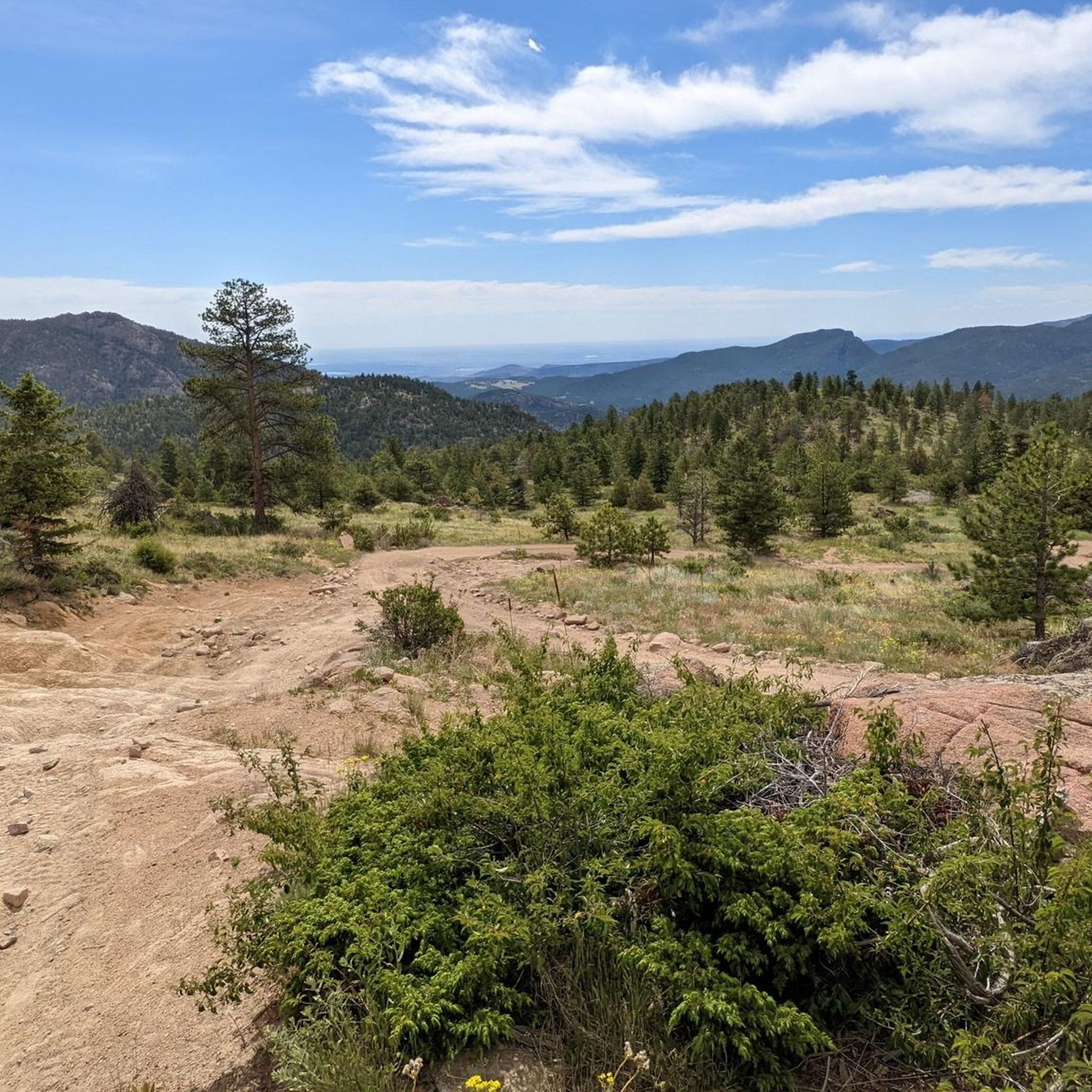
Road cycling routes around Allenspark navigate the mountainous terrain of the Colorado Front Range, characterized by significant elevation changes and scenic views. The area features roads winding through pine forests, past reservoirs, and connecting small mountain communities. Road cyclists can expect varied gradients and high-altitude riding conditions.
Best road cycling routes around Allenspark
- The most popular road cycling route is Nederland loop from Beaver Park Dam, a 37.3 miles (60.1 km) trail that takes 3 hours 10 minutes to…
Last updated: August 15, 2026
41
riders
61.0km
03:20
1,130m
1,130m
Hard road ride. Very good fitness required. Some segments of this route may be unpaved and difficult to ride.
12
riders
41.7km
02:32
980m
980m
Hard road ride. Very good fitness required. Some segments of this route may be unpaved and difficult to ride.

Sign up for free
5
riders
30.7km
01:40
560m
560m
Moderate road ride. Good fitness required. Mostly well-paved surfaces and easy to ride.
4
riders
26.2km
01:43
520m
520m
Moderate road ride. Good fitness required. Some segments of this route may be unpaved and difficult to ride.
5
riders
71.0km
03:50
1,420m
1,420m
Hard road ride. Very good fitness required. Mostly well-paved surfaces and easy to ride.
Our route recommendations are based on thousands of hikes, rides, and runs completed by other people on komoot.
Start today with a free account
Your next adventure awaits.
Login or Signup
Tips from the Community

Created by the construction of the Olympus Dam, Lake Estes is a 185-acre reservoir on the Big Thompson River. It's idyllic location is further heightened by the chance of spotting some truly majestic wildlife.
0
0

Lily Lake is just south of Estes Park, Colorado and is located within the boundaries of Rocky Mountain National Park. You get great views of the high mountains of the park, like Longs Peak and Mount Meeker, reflected in the water, making it a popular spot to stop for photographs. This is a great spot to pause on your ride, eat a snack and enjoy the views.
0
0

Just south of Estes Park, on the edge of South Saint Vrain Avenue, you find this small lake and this very easy to do loop, all at the foot of Lily Mountain.
0
0

Camp DIck has 41 different camping sites, each with a tent spot and bear box. There is water provided, but no electricity or showers. From here you have access to the fantastic trails leading up Buchanan Pass to the peaks. The Buchanan Pass Trail is long but not very steep. If you are looking for shorter trails, you can run up to Beaver Reservoir.
0
0
The trail follows the creek north from here for about two miles before splitting off. There is plenty of parking here and you can stay at Jamestown Cabin just down from the trailhead.
0
0
The Ferncliff Food & Fuel is a small one-stop-shop in the tiny town of Allenspark. There are bathrooms, a pay phone (!), and plenty of snacks and coffee to purchase. This is a great place to stop and refuel along your ride.
1
0

Nederland is an old mining town that is now known as a gateway to outdoor recreation, due to its proximity to Indian Peaks Wilderness, Rocky Mountain National Park and Roosevelt National Forest.
0
0
The "Super James" climb is one of the more notorious climbs in the area. Super James from Jamestown consists of about 1,800 of climbing in 6 miles with an average grade of 8%. This 4.4 mile section of Super James, between Jamestown and where the road turns to gravel, is where the majority of the hard climbing happens. The twisting nature of the road makes the hard climbing, with some moments being far over an average of 15%, feel even harder; you just can't see the next section of hill coming! Fortunately, you've had all of Lefthand and the climb up James Canyon Drive to warm up for this climb, which has
0
0
Frequently Asked Questions
How many road cycling routes are available around Allenspark?
There are 5 dedicated road cycling routes around Allenspark featured in this guide. These routes navigate the mountainous terrain of the Colorado Front Range, offering varied gradients and high-altitude riding conditions.
Are there easy road cycling routes for beginners in Allenspark?
The road cycling routes around Allenspark are generally characterized by significant elevation changes. While there are no routes classified as 'easy' in this selection, there are 3 routes considered 'moderate' which might be suitable for cyclists with some experience, such as the Camp Dick loop from Beaver Park Dam.
What are some challenging road cycling routes near Allenspark?
For experienced road cyclists seeking a challenge, routes like the Nederland loop from Beaver Park Dam offer substantial climbing through mountain landscapes. Another difficult option is the Ward General Store – Jamestown Mercantile Café loop from Bar-K Ranch, featuring challenging ascents and descents between mountain towns.
Are there any family-friendly road cycling options in Allenspark?
Given the mountainous terrain and significant elevation changes, most road cycling routes around Allenspark are better suited for cyclists with some experience. There are no routes specifically classified as 'easy' or 'family-friendly' in this guide, as they all involve varied gradients and high-altitude conditions.
Where can I find parking for road cycling routes in Allenspark?
Many routes start from locations like Beaver Park Dam or Bar-K Ranch, which typically offer parking facilities. For routes originating near towns such as Ward or Raymond, street parking or designated public lots may be available. Always check local signage for parking regulations.
Are there cafes or places to stop for refreshments along the routes?
Yes, some routes are designed to pass through or near small mountain communities where you can find amenities. For example, the Ward General Store – Jamestown Mercantile Café loop from Bar-K Ranch explicitly mentions cafes, providing opportunities for refreshments during your ride.
What natural attractions can I see while road cycling near Allenspark?
The routes offer views of reservoirs and wind through forested areas. Nearby natural attractions include several waterfalls like Calypso Cascade and Fox Creek Waterfall. You might also encounter scenic lakes such as Sprague Lake and Black Lake, or even catch glimpses of prominent peaks like Twin Sisters Peak.
When is the best time of year for road cycling in Allenspark?
The best time for road cycling in Allenspark is typically from late spring through early fall (May to October) when mountain passes are clear of snow and weather conditions are generally stable. Summer offers warmer temperatures, but afternoon thunderstorms are common. Always check local weather forecasts before heading out.
What are winter road cycling conditions like in Allenspark?
Winter road cycling in Allenspark can be challenging due to snow, ice, and colder temperatures, especially at higher elevations. Many roads may be closed or have hazardous conditions. It is generally recommended to avoid road cycling during winter months unless you are specifically equipped for extreme cold and potential icy patches.
What should I bring for road cycling in Allenspark?
Given the high-altitude and varied gradients, it's essential to bring layers of clothing to adapt to changing temperatures, plenty of water, snacks, and basic bike repair tools. Sunscreen and sunglasses are also crucial due to the strong mountain sun. A helmet is always recommended for safety.
Are there loop road cycling routes around Allenspark?
Yes, all the road cycling routes highlighted in this guide are loops, allowing you to start and finish at the same point. Examples include the Estes Park Visitor Center – Lake Estes loop from Aspen Lodge Dam and the Ward General Store loop from Raymond.
What do other road cyclists enjoy about the routes in Allenspark?
Road cyclists using komoot frequently praise the scenic views and the challenging nature of the routes around Allenspark. The area is known for its winding roads through pine forests, past reservoirs, and connecting charming mountain communities, offering a rewarding high-altitude riding experience.
Most popular attractions around Allenspark

Get inspired with the komoot mobile app


Explore more
Browse the best Road cycling routes in other regions.
